Tinkhill Plantation
Wood, Forest in Yorkshire
England
Tinkhill Plantation
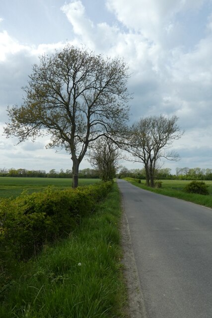
Tinkhill Plantation is a picturesque woodland located in Yorkshire, England. Nestled within the rolling hills and lush green landscapes, this plantation offers visitors a serene and tranquil escape from the hustle and bustle of city life.
Covering an expansive area of woodland, Tinkhill Plantation is primarily composed of a variety of native tree species, including oak, beech, and birch. These majestic trees form a dense canopy, creating a shaded and cool environment, even on hot summer days. The forest floor is carpeted with a lush carpet of ferns, mosses, and wildflowers, adding to the enchanting atmosphere.
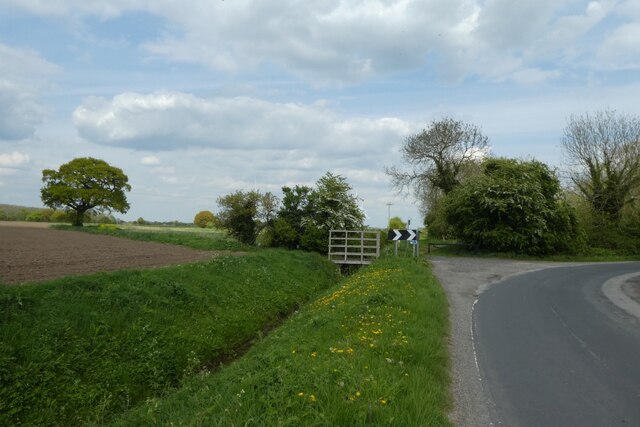
The plantation is a haven for wildlife, providing a habitat for numerous species. Visitors may catch a glimpse of red foxes, deer, and a vast array of birdlife, including woodpeckers and owls. Nature enthusiasts can explore the network of walking trails that wind through the plantation, offering opportunities for peaceful strolls and birdwatching.
Tinkhill Plantation also holds historical significance, with remnants of an old stone wall that once marked the boundaries of the estate. This adds an element of intrigue and charm to the woodland, transporting visitors back in time.
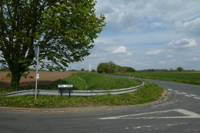
Whether it's a leisurely walk, a family picnic, or a chance to immerse oneself in nature, Tinkhill Plantation offers a serene and captivating experience for all who venture within its leafy confines.
If you have any feedback on the listing, please let us know in the comments section below.
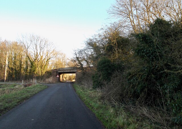
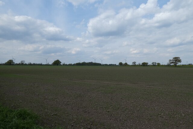
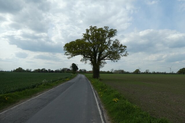
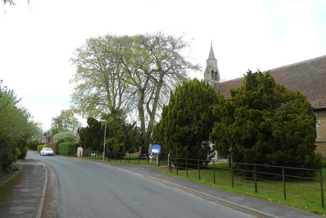
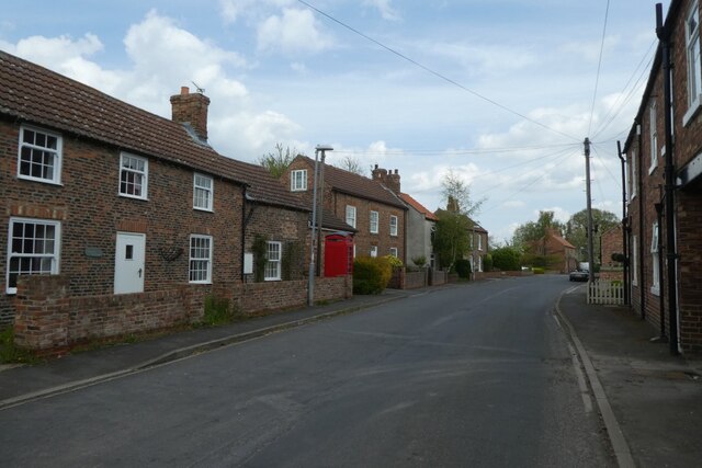
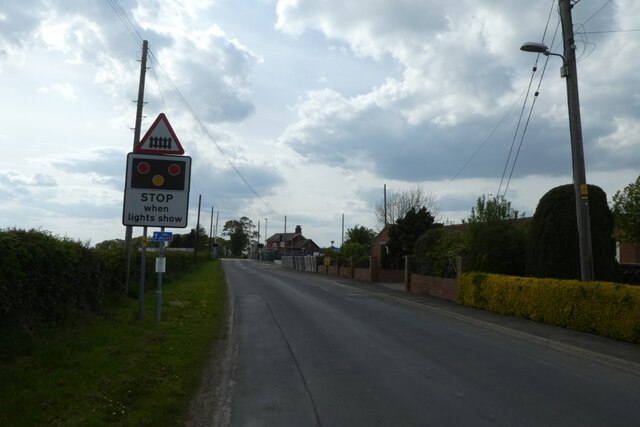
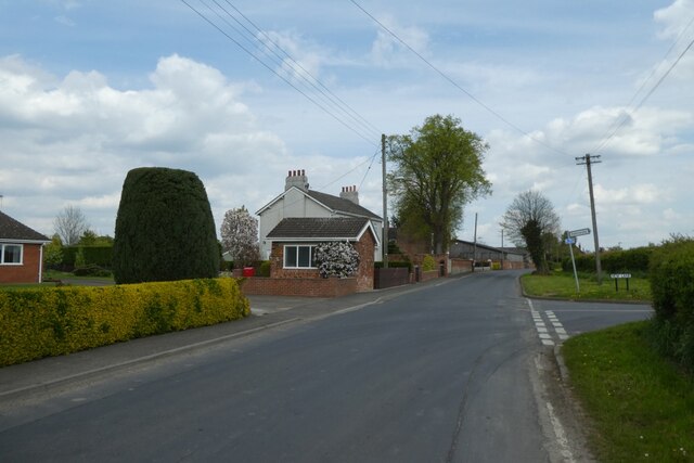
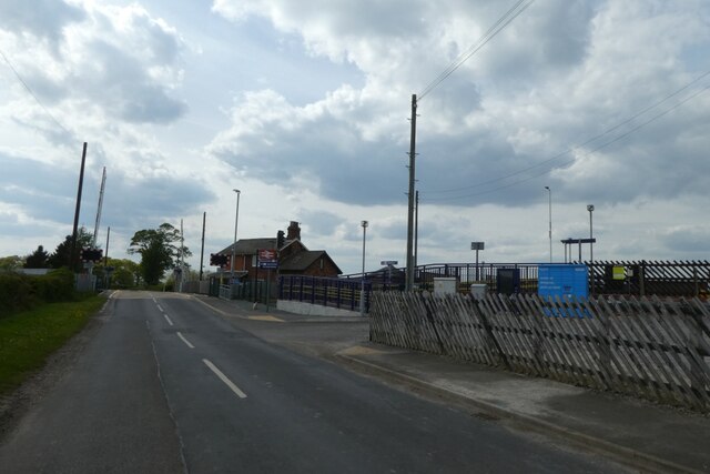
Tinkhill Plantation Images
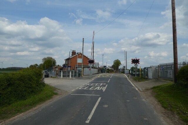
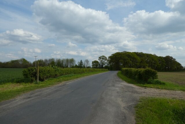
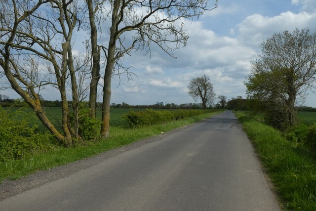
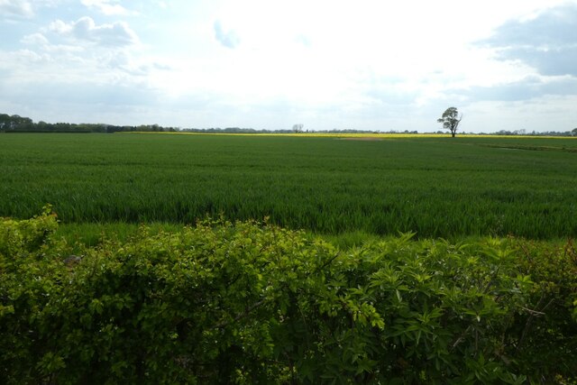
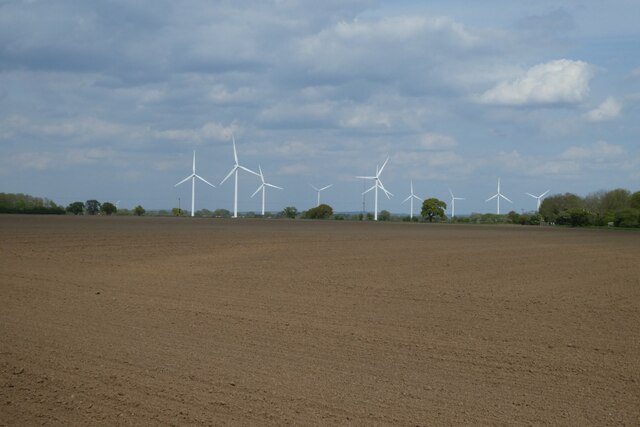
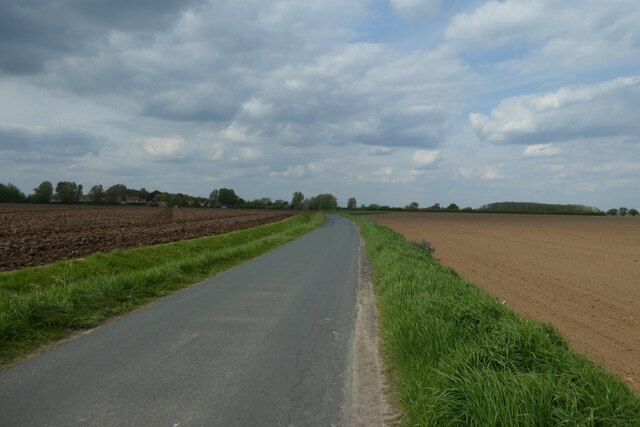
Images are sourced within 2km of 53.712805/-0.82004649 or Grid Reference SE7724. Thanks to Geograph Open Source API. All images are credited.
Tinkhill Plantation is located at Grid Ref: SE7724 (Lat: 53.712805, Lng: -0.82004649)
Division: East Riding
Unitary Authority: East Riding of Yorkshire
Police Authority: Humberside
What 3 Words
///warned.padlock.round. Near Laxton, East Yorkshire
Nearby Locations
Related Wikis

Saltmarshe Hall
Saltmarshe Hall is a grade II* listed 19th-century country house in Saltmarshe, East Riding of Yorkshire, England, on the north bank of the River Ouse...

Saltmarshe
Saltmarshe is a hamlet and former civil parish, now in the parish of Laxton, in the East Riding of Yorkshire, England. It is situated on the north bank...
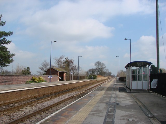
Saltmarshe railway station
Saltmarshe railway station is a railway station on the Hull and Doncaster Branch between Goole and Gilberdyke stations. It serves the village of Laxton...
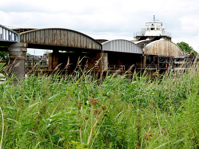
Goole railway swing bridge
The Skelton Viaduct, also known as the Hook bridge or Goole railway swing bridge, is a large viaducted hogback plate girder bridge with swing span over...
Nearby Amenities
Located within 500m of 53.712805,-0.82004649Have you been to Tinkhill Plantation?
Leave your review of Tinkhill Plantation below (or comments, questions and feedback).