Stickhill Plantation
Wood, Forest in Yorkshire
England
Stickhill Plantation
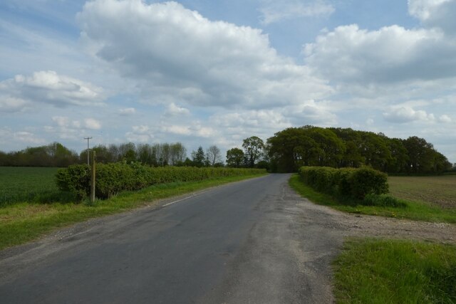
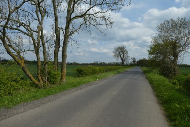
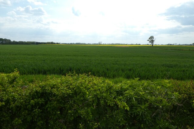
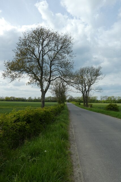
Stickhill Plantation is a picturesque woodland area located in Yorkshire, England. Nestled in the heart of the region, this plantation covers a sprawling area of approximately 500 acres. The plantation is renowned for its dense growth of predominantly deciduous trees, creating a vibrant and ever-changing landscape throughout the seasons.
The woodland is characterized by its towering oak, beech, and ash trees, which provide a natural canopy, casting dappled sunlight onto the forest floor. This creates an enchanting atmosphere, ideal for leisurely walks and nature appreciation. Visitors can expect to encounter an array of native wildlife, including deer, foxes, and a diverse range of bird species.
Stickhill Plantation offers a network of well-maintained footpaths, allowing visitors to explore the woodland at their own pace. These paths wind through the plantation, leading to hidden clearings, babbling brooks, and tranquil ponds, further enhancing the natural beauty of the area.
The plantation also boasts a small visitor center, which provides information about the local flora and fauna, as well as the history of the woodland. Additionally, the center offers educational programs and guided tours for schools and interested groups.
Stickhill Plantation is a cherished natural gem in Yorkshire, attracting both locals and tourists alike. Its serene ambiance and diverse wildlife provide a haven for nature enthusiasts seeking solace and a deeper connection with the natural world.
If you have any feedback on the listing, please let us know in the comments section below.
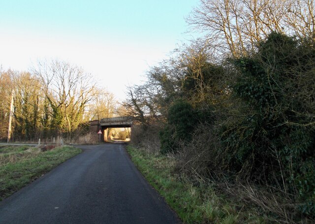
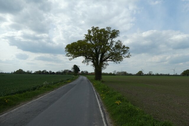
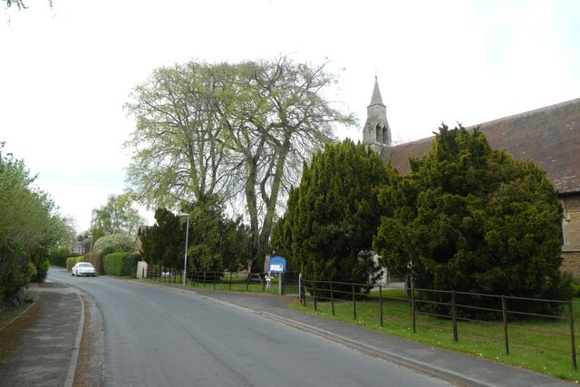
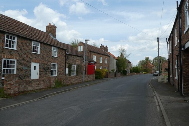
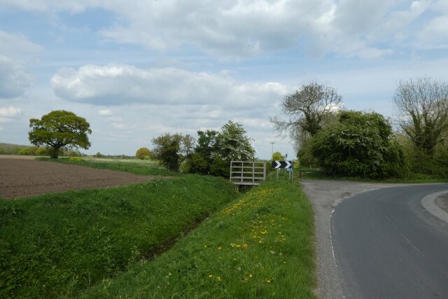
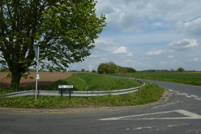
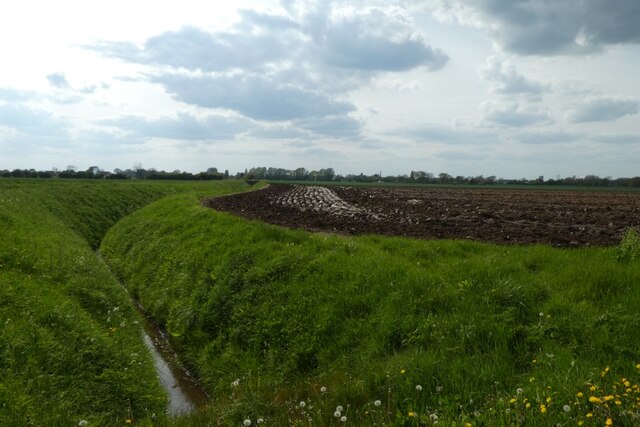
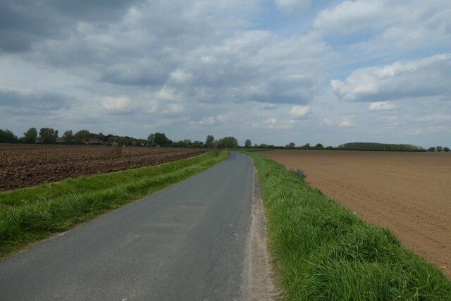
Stickhill Plantation Images
Images are sourced within 2km of 53.70928/-0.82082689 or Grid Reference SE7724. Thanks to Geograph Open Source API. All images are credited.

Stickhill Plantation is located at Grid Ref: SE7724 (Lat: 53.70928, Lng: -0.82082689)
Division: East Riding
Unitary Authority: East Riding of Yorkshire
Police Authority: Humberside
What 3 Words
///working.blanking.ritual. Near Laxton, East Yorkshire
Nearby Locations
Related Wikis

Saltmarshe Hall
Saltmarshe Hall is a grade II* listed 19th-century country house in Saltmarshe, East Riding of Yorkshire, England, on the north bank of the River Ouse...

Saltmarshe
Saltmarshe is a hamlet and former civil parish, now in the parish of Laxton, in the East Riding of Yorkshire, England. It is situated on the north bank...
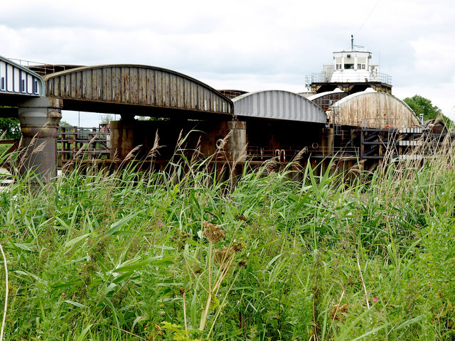
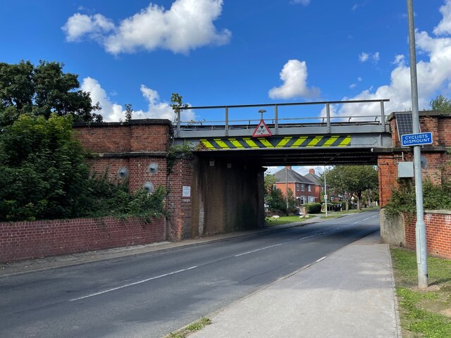
Goole railway swing bridge
The Skelton Viaduct, also known as the Hook bridge or Goole railway swing bridge, is a large viaducted hogback plate girder bridge with swing span over...
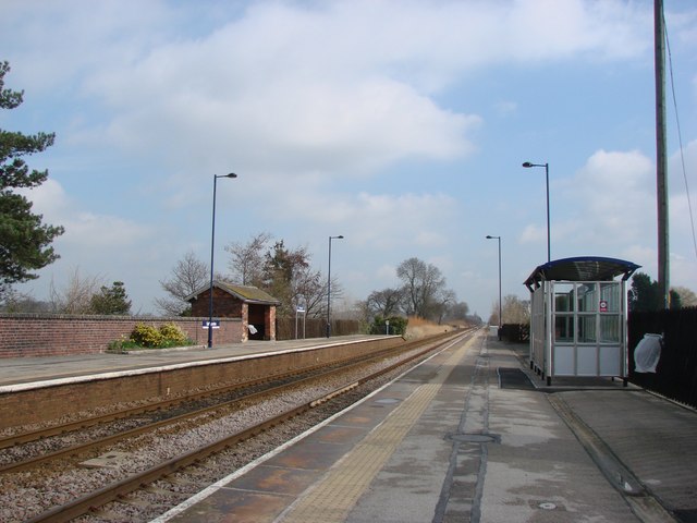
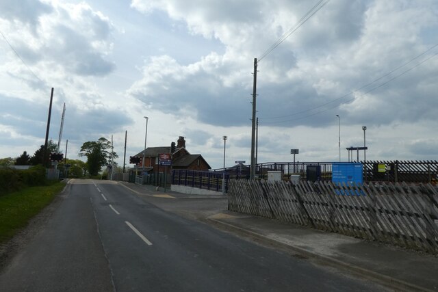
Saltmarshe railway station
Saltmarshe railway station is a railway station on the Hull and Doncaster Branch between Goole and Gilberdyke stations. It serves the village of Laxton...
Nearby Amenities
Located within 500m of 53.70928,-0.82082689Have you been to Stickhill Plantation?
Leave your review of Stickhill Plantation below (or comments, questions and feedback).