Highbridge Plantation
Wood, Forest in Yorkshire
England
Highbridge Plantation
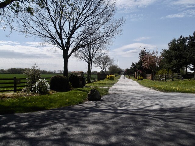
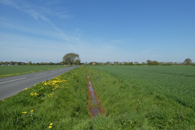
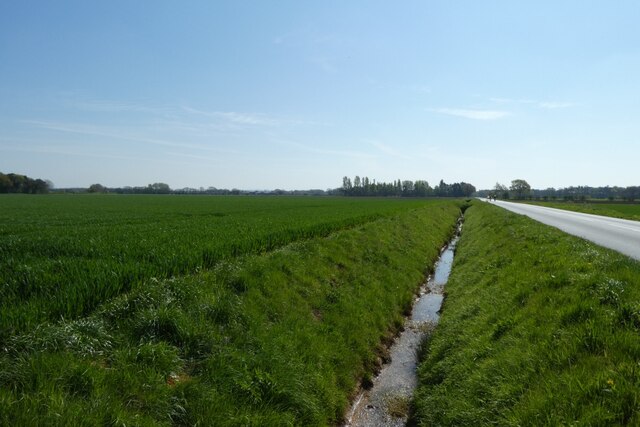
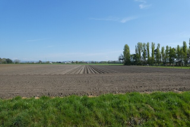
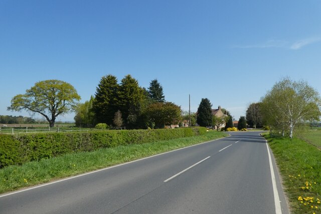
Highbridge Plantation, located in Yorkshire, is a picturesque woodland area known for its natural beauty and diverse flora and fauna. Situated near the village of Highbridge, the plantation covers a vast area of lush greenery, making it a popular destination for nature lovers and outdoor enthusiasts.
The plantation is predominantly composed of woodland, with a mix of deciduous and coniferous trees creating a stunning landscape. The towering oak, beech, and pine trees provide a canopy of shade, while the undergrowth is filled with wildflowers, ferns, and mosses. This rich ecosystem supports a variety of wildlife, including deer, squirrels, and a plethora of bird species that can be spotted throughout the year.
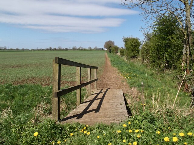
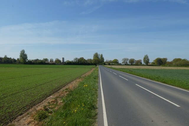
The plantation also features several walking trails that wind through the woods, allowing visitors to explore and appreciate the natural surroundings. These trails cater to different levels of difficulty, ensuring that both casual strollers and avid hikers can enjoy the plantation at their own pace. Along the trails, visitors may stumble upon hidden streams and small ponds, adding to the charm and tranquility of the area.
Highbridge Plantation is not only a haven for nature enthusiasts but also serves as an important conservation area. The plantation management actively promotes sustainable practices and engages in habitat restoration projects to protect and preserve the local ecosystem.
Whether it's a leisurely stroll, a birdwatching expedition, or simply a desire to reconnect with nature, Highbridge Plantation offers a serene escape from the hustle and bustle of everyday life.
If you have any feedback on the listing, please let us know in the comments section below.
Highbridge Plantation Images
Images are sourced within 2km of 53.869718/-0.81554387 or Grid Reference SE7742. Thanks to Geograph Open Source API. All images are credited.


Highbridge Plantation is located at Grid Ref: SE7742 (Lat: 53.869718, Lng: -0.81554387)
Division: East Riding
Unitary Authority: East Riding of Yorkshire
Police Authority: Humberside
What 3 Words
///ourselves.darkens.shin. Near Melbourne, East Yorkshire
Nearby Locations
Related Wikis

Seaton Ross
Seaton Ross is a village and civil parish in the East Riding of Yorkshire, England. It is situated approximately 6 miles (9.7 km) west of the market town...
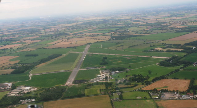
RAF Melbourne
Royal Air Force Melbourne or more simply RAF Melbourne is a former Royal Air Force station used during the Second World War. Located 5 miles (8 km) to...

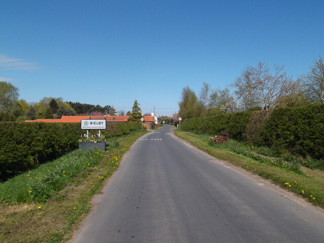
Bielby
Bielby is a village and civil parish in the East Riding of Yorkshire, England. The village is situated about 4 miles (6.4 km) south of Pocklington. According...

Everingham
Everingham is a village in the East Riding of Yorkshire, England. It is 5 miles (8 km) west of Market Weighton town centre and 4 miles (6 km) south of...
Nearby Amenities
Located within 500m of 53.869718,-0.81554387Have you been to Highbridge Plantation?
Leave your review of Highbridge Plantation below (or comments, questions and feedback).