Bouch's Covert
Wood, Forest in Leicestershire Melton
England
Bouch's Covert

Bouch's Covert is a picturesque woodland located in Leicestershire, England. Situated in the heart of the county, this enchanting forest is a hidden gem that offers a serene escape from the hustle and bustle of everyday life. With its dense canopy of trees and untouched natural beauty, Bouch's Covert is a haven for nature enthusiasts and outdoor lovers.
Covering an area of approximately 100 acres, the woodland is primarily composed of native broadleaf trees such as oak, ash, and beech. These majestic trees create a rich and diverse ecosystem, providing a habitat for a wide range of flora and fauna. Visitors to Bouch's Covert can expect to see a variety of wildlife, including deer, foxes, squirrels, and a myriad of bird species.
The forest is crisscrossed by a network of walking trails, allowing visitors to explore its tranquil surroundings at their own pace. These trails vary in difficulty, catering to both leisurely strolls and more challenging hikes. Along the way, visitors can admire the vibrant wildflowers that carpet the forest floor during the spring and summer months.
Bouch's Covert also boasts several picnic areas, making it an ideal spot for families and friends to enjoy a relaxing day out amidst nature. The peaceful ambiance and breathtaking scenery provide the perfect backdrop for outdoor activities such as birdwatching, photography, and even yoga.
Overall, Bouch's Covert is a true natural treasure, offering visitors an opportunity to reconnect with nature and experience the tranquility of the Leicestershire countryside. Whether you are seeking a quiet escape or an adventure-filled hike, this woodland sanctuary is sure to leave a lasting impression.
If you have any feedback on the listing, please let us know in the comments section below.
Bouch's Covert Images
Images are sourced within 2km of 52.762415/-0.85019197 or Grid Reference SK7718. Thanks to Geograph Open Source API. All images are credited.


Bouch's Covert is located at Grid Ref: SK7718 (Lat: 52.762415, Lng: -0.85019197)
Administrative County: Leicestershire
District: Melton
Police Authority: Leicestershire
What 3 Words
///composers.skin.headed. Near Melton Mowbray, Leicestershire
Nearby Locations
Related Wikis

River Eye SSSI
River Eye SSSI is a 6.0 hectares (15 acres) biological Site of Special Scientific Interest covering a stretch of the River Eye between Ham Bridge, north...
Brentingby
Brentingby is a village in Leicestershire, England.The population is included in the civil parish of Freeby. The village's name means either 'farm/settlement...
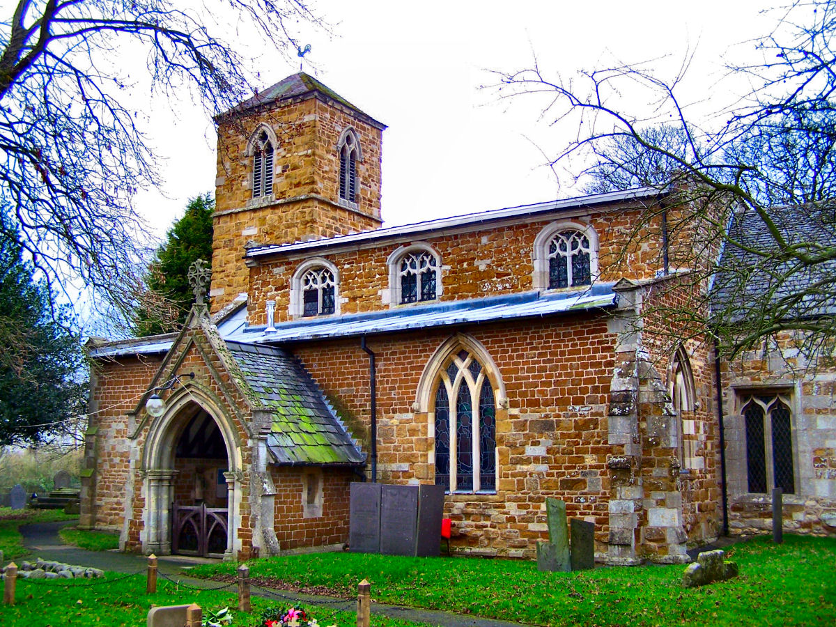
St Mary's Church, Brentingby
St Mary's Church is a redundant Anglican church in the village of Brentingby, Leicestershire, England. The walls of the church required renovation when...
Thorpe Arnold
Thorpe Arnold is a farming village and former civil parish, now in the parish of Waltham on the Wolds and Thorpe Arnold in the district of Melton, which...
Nearby Amenities
Located within 500m of 52.762415,-0.85019197Have you been to Bouch's Covert?
Leave your review of Bouch's Covert below (or comments, questions and feedback).