Butterleys Plantation
Wood, Forest in Oxfordshire
England
Butterleys Plantation

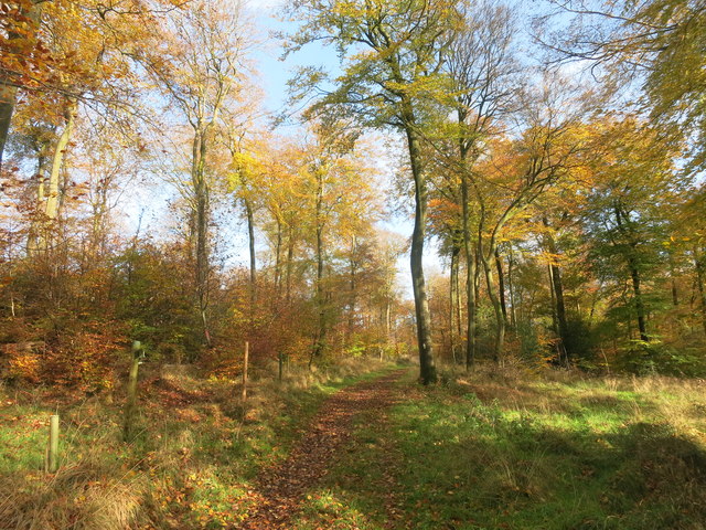
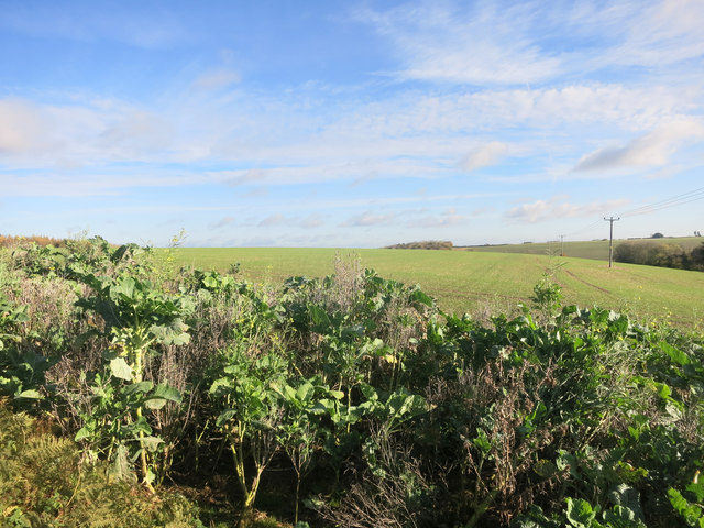
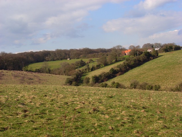
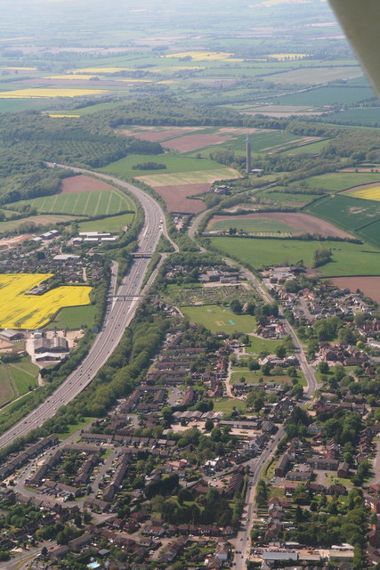
Butterleys Plantation is a serene and picturesque woodland area located in Oxfordshire, England. Nestled amidst the beautiful countryside, this enchanting plantation covers a vast area of lush greenery and dense forest.
The plantation is renowned for its diverse range of tree species, including oak, beech, ash, and birch trees that tower majestically over the landscape. These trees provide a haven for a wide variety of wildlife, making Butterleys Plantation a popular spot for nature enthusiasts and birdwatchers.
Visitors can explore the plantation through a network of well-maintained walking trails that wind their way through the woodland. The trails offer breathtaking views of the surrounding countryside and provide opportunities for peaceful strolls, invigorating hikes, and engaging nature walks.
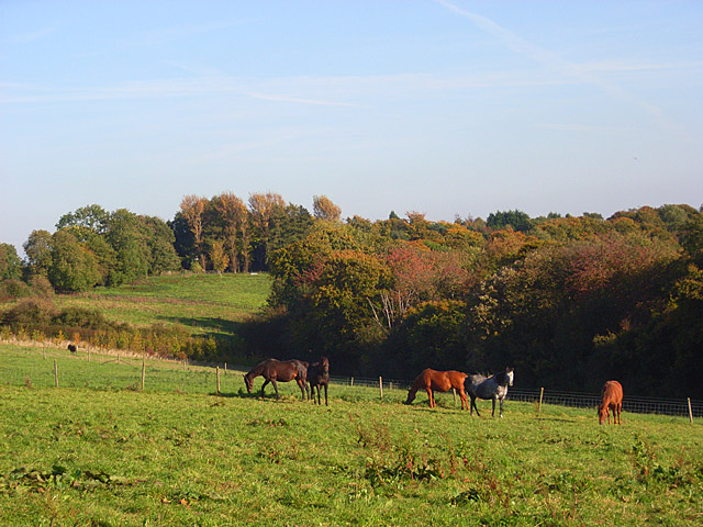
Butterleys Plantation is also home to a rich and vibrant ecosystem. The forest floor is carpeted with a tapestry of wildflowers, ferns, and mosses, creating a vibrant and colorful display throughout the year. The plantation is also inhabited by numerous woodland creatures, including deer, foxes, badgers, and a plethora of bird species.
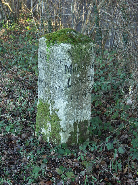
Aside from its natural beauty, Butterleys Plantation also holds historical significance. It is said to have been a hunting ground for the local aristocracy in the 18th century. Remnants of old hunting lodges and stone structures can still be found within the plantation, providing glimpses into its past.
Whether it's for a peaceful retreat, an exploration of nature, or a step back in time, Butterleys Plantation offers a captivating experience for all who visit. Its natural charm and historical allure make it a must-visit destination in Oxfordshire.
If you have any feedback on the listing, please let us know in the comments section below.
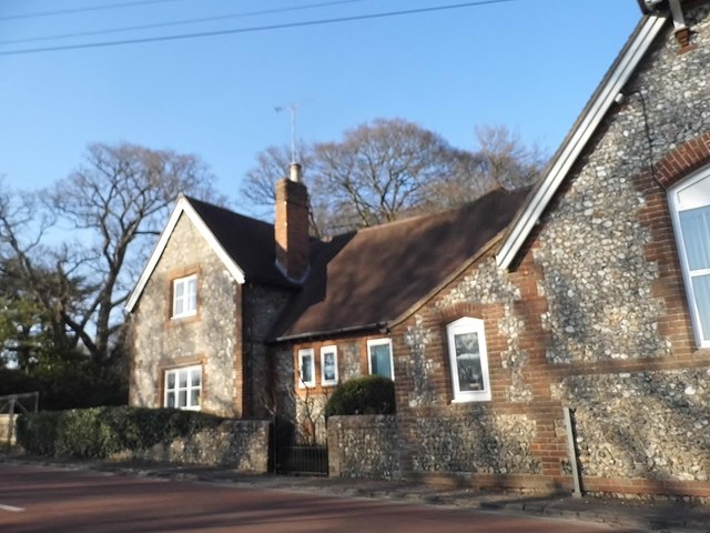
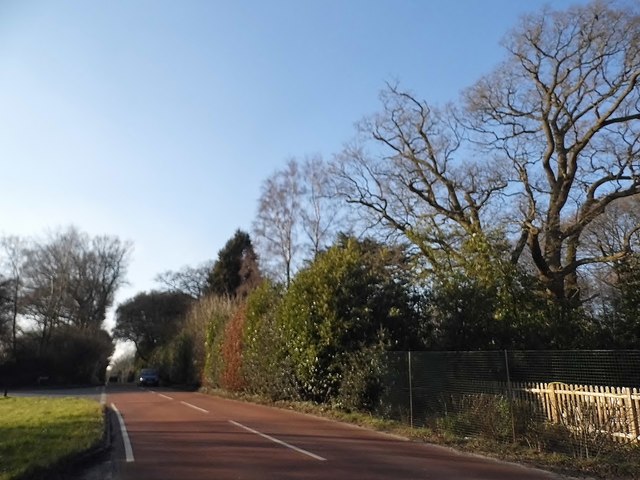
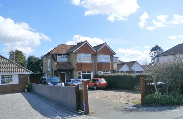
Butterleys Plantation Images
Images are sourced within 2km of 51.642594/-0.87865968 or Grid Reference SU7794. Thanks to Geograph Open Source API. All images are credited.


Butterleys Plantation is located at Grid Ref: SU7794 (Lat: 51.642594, Lng: -0.87865968)
Unitary Authority: Buckinghamshire
Police Authority: Thames Valley
What 3 Words
///powder.revamped.disclose. Near Stokenchurch, Buckinghamshire
Nearby Locations
Related Wikis
Beacon's Bottom
Beacon's Bottom, also known as Bacon's Bottom, is a hamlet on the A40 between Piddington and Stokenchurch in England. Until 1895 it was administratively...
Horsleys Green
Horsleys Green (often incorrectly referred to as Horsley's Green) is a hamlet located on the A40 between Piddington and Stokenchurch in Buckinghamshire...
Studley Green
Studley Green is a hamlet located on the A40 between Piddington and Stokenchurch in Buckinghamshire, England. The term 'Studley Green' is also used to...
Cadmore
Cadmore, also known as Cadmore End, is a village in the civil parish of Lane End in the English county of Buckinghamshire. Historically Cadmore End was...

Waterend, Buckinghamshire
Waterend is a hamlet located on the A40 between Piddington and Stokenchurch in Buckinghamshire, England. Together with the adjacent hamlets of Horsleys...
Stokenchurch
Stokenchurch is a village and civil parish in south-west Buckinghamshire, England. It is located in the Chiltern Hills, about 3 miles (5 km) south of Chinnor...
Bottom Wood
Bottom Wood is a 14.5-hectare (36-acre) woodland in the English county of Buckinghamshire, located just north of the A40 near the hamlet of Studley Green...
Ibstone
Ibstone (previously Ipstone) is a village and civil parish within Wycombe district in Buckinghamshire, England. It is in the Chiltern Hills on the border...
Nearby Amenities
Located within 500m of 51.642594,-0.87865968Have you been to Butterleys Plantation?
Leave your review of Butterleys Plantation below (or comments, questions and feedback).