Burbage's Covert

Wood, Forest in Leicestershire Melton

England

Burbage's Covert

Saxby Road
Saxby Road Credit: Alex McGregor

Burbage's Covert is a picturesque woodland located in Leicestershire, England. Spanning an area of approximately 500 acres, this pristine forest offers a serene and tranquil retreat for nature enthusiasts and outdoor enthusiasts alike. The woodland is named after the nearby village of Burbage and has become a popular destination for locals and visitors seeking a respite from the hustle and bustle of urban life.

The woodland is predominantly composed of native deciduous trees, including oak, ash, and beech, which create a dense canopy that provides shade and shelter for a wide variety of wildlife. Walking through Burbage's Covert, visitors can expect to encounter an array of flora and fauna, including wildflowers, ferns, and mosses, as well as a diverse range of bird species, small mammals, and insects.

The forest is crisscrossed by a network of well-maintained footpaths and trails, allowing visitors to explore the woodland at their own pace. These pathways wind through the forest, leading to hidden glades, babbling brooks, and scenic viewpoints. The tranquil atmosphere and beautiful surroundings make Burbage's Covert an ideal location for outdoor activities such as hiking, birdwatching, and photography.

Managed by the local authorities, Burbage's Covert also serves as an important conservation area, with ongoing efforts to protect and preserve its natural beauty. Visitors are encouraged to respect the environment and adhere to any signage or guidelines provided, ensuring the longevity of this remarkable woodland for future generations to enjoy.

If you have any feedback on the listing, please let us know in the comments section below.

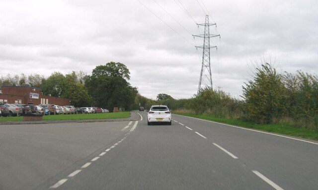
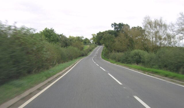
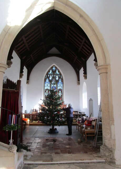
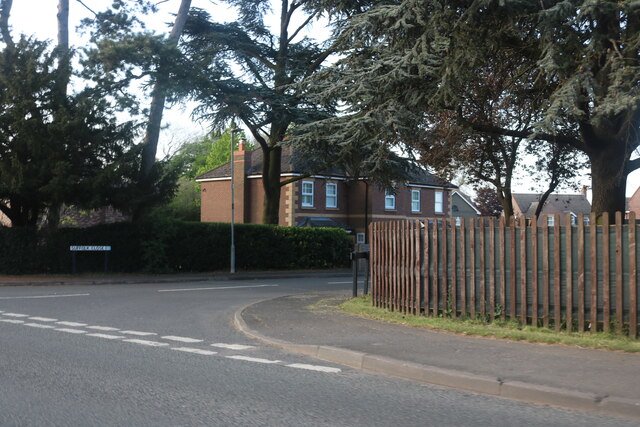
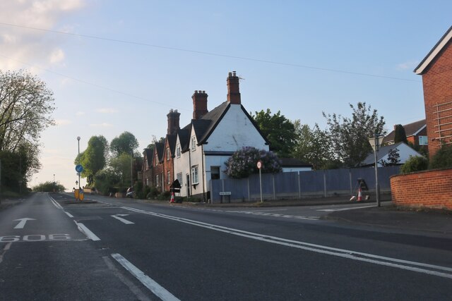
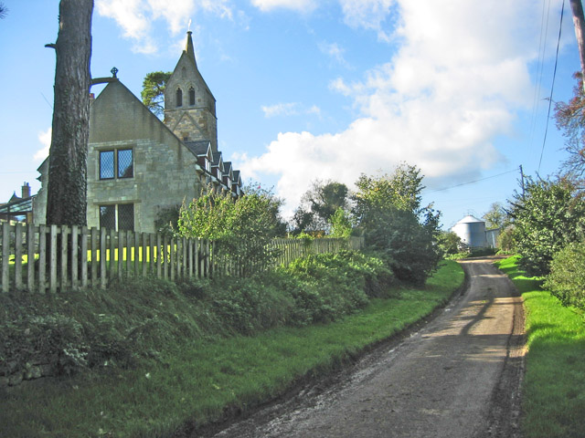
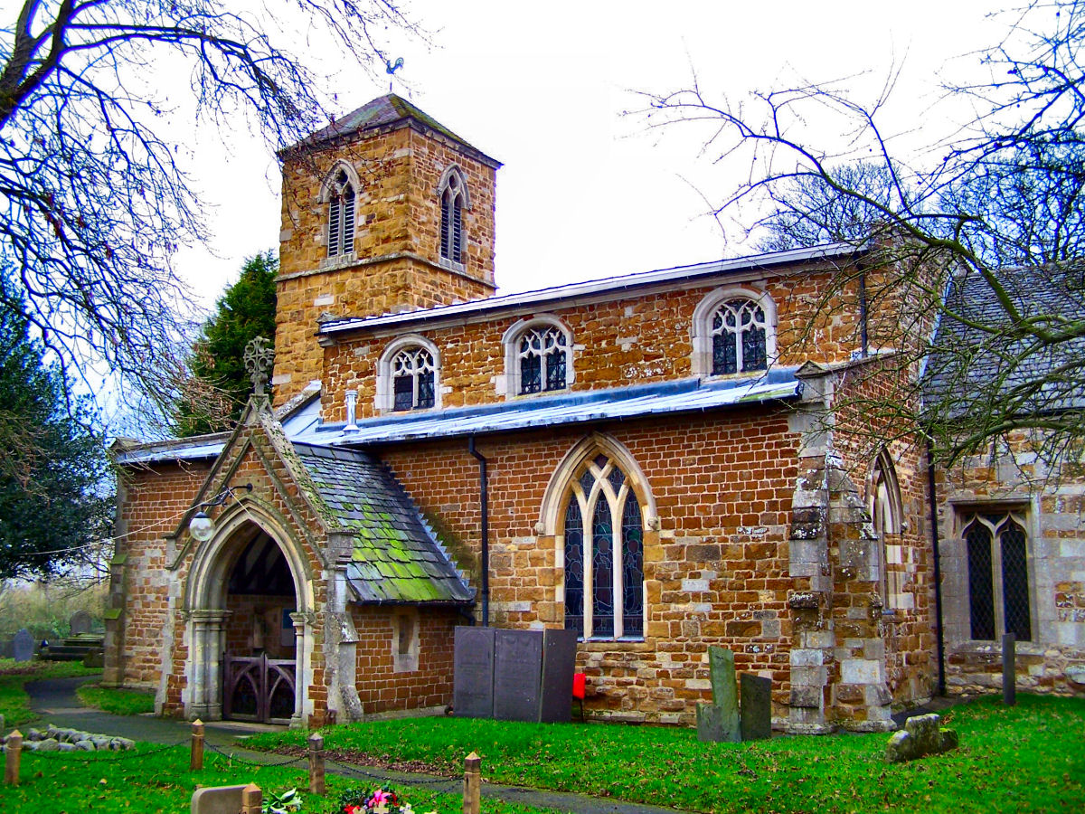
Burbage's Covert Images

Images are sourced within 2km of 52.754593/-0.85288722 or Grid Reference SK7718. Thanks to Geograph Open Source API. All images are credited.

Saxby Road
Saxby Road
Saxby Road
Saxby Road
Saxby Road
Saxby Road
Saxby Road
Saxby Road
Saxby Road
Saxby Road
B676 eastbound
B676 eastbound
The churchyard, Burton Lazars The churchyard has a fine collection of Swithland slate headstones.
The churchyard, Burton Lazars
The churchyard has a fine collection of Swithland slate headstones.
Melton Road north of Burton Lazars There is a just a short gap between Burton Lazars and the edge of Melton Mowbray.
Melton Road north of Burton Lazars
There is a just a short gap between Burton Lazars and the edge of Melton Mowbray.
The Jubilee Way on the edge of Melton Mowbray
Monument to William Squires, Burton Lazars William Squires died in 1781 and half his estate was left to erect this monument <span class="nowrap"><a title="https://historicengland.org.uk/listing/the-list/list-entry/1307784" rel="nofollow ugc noopener" href="https://historicengland.org.uk/listing/the-list/list-entry/1307784">Link</a><img style="margin-left:2px;" alt="External link" title="External link - shift click to open in new window" src="https://s1.geograph.org.uk/img/external.png" width="10" height="10"/></span>
Monument to William Squires, Burton Lazars
William Squires died in 1781 and half his estate was left to erect this monument LinkExternal link
Setting up the Christmas tree, St. James' church, Burton Lazars The chancel of St. James' church was rebuilt in 1850 <span class="nowrap"><a title="https://historicengland.org.uk/listing/the-list/list-entry/1360836" rel="nofollow ugc noopener" href="https://historicengland.org.uk/listing/the-list/list-entry/1360836">Link</a><img style="margin-left:2px;" alt="External link" title="External link - shift click to open in new window" src="https://s1.geograph.org.uk/img/external.png" width="10" height="10"/></span>
Setting up the Christmas tree, St. James' church, Burton Lazars
The chancel of St. James' church was rebuilt in 1850 LinkExternal link
St. James' church, Burton Lazars Medieval church with a chancel of 1850 <span class="nowrap"><a title="https://historicengland.org.uk/listing/the-list/list-entry/1360836" rel="nofollow ugc noopener" href="https://historicengland.org.uk/listing/the-list/list-entry/1360836">Link</a><img style="margin-left:2px;" alt="External link" title="External link - shift click to open in new window" src="https://s1.geograph.org.uk/img/external.png" width="10" height="10"/></span>
St. James' church, Burton Lazars
Medieval church with a chancel of 1850 LinkExternal link
Suffolk Close, Melton Mowbray At the junction with Burton Road.
Suffolk Close, Melton Mowbray
At the junction with Burton Road.
Burton Road, Melton Mowbray
Large house on Melton Road, Burton Lazars There is a double garage beyond the gates.
Large house on Melton Road, Burton Lazars
There is a double garage beyond the gates.
Melton Road, Burton Lazars Burton Lazars is a village before you reach Melton Mowbray.
Melton Road, Burton Lazars
Burton Lazars is a village before you reach Melton Mowbray.
Looking east along River Eye from Lag Lane bridge
Railway heading towards Melton Mowbray from Lag Lane bridge
Show me another place!

Burbage's Covert is located at Grid Ref: SK7718 (Lat: 52.754593, Lng: -0.85288722)

Administrative County: Leicestershire

District: Melton

Police Authority: Leicestershire

What 3 Words

///sank.scarcely.grid. Near Melton Mowbray, Leicestershire

Related Wikis

River Eye SSSI

River Eye SSSI is a 6.0 hectares (15 acres) biological Site of Special Scientific Interest covering a stretch of the River Eye between Ham Bridge, north...

Brentingby

Brentingby is a village in Leicestershire, England.The population is included in the civil parish of Freeby. The village's name means either 'farm/settlement...

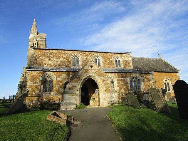
St Mary's Church, Brentingby

St Mary's Church is a redundant Anglican church in the village of Brentingby, Leicestershire, England. The walls of the church required renovation when...

Burton Lazars

Burton Lazars is a village and former civil parish, now in the parish of Burton and Dalby, in the Melton district, in the county of Leicestershire, England...

Melton Town F.C.

Melton Town Football Club is a football club based in Melton Mowbray, Leicestershire, England. They are currently members of the United Counties League...

King Edward VII School, Melton Mowbray

King Edward VII School (KE7) was an LEA maintained 11-19 comprehensive secondary school in Melton Mowbray, Leicestershire in England which closed in 2011...

Thorpe Arnold

Thorpe Arnold is a farming village and former civil parish, now in the parish of Waltham on the Wolds and Thorpe Arnold in the district of Melton, which...

Ankle Hill

Ankle Hill is a hill located in the centre of Melton Mowbray, in Leicestershire.In February 1645 during the First English Civil War the town of Melton...

Nearby Amenities

Located within 500m of 52.754593,-0.85288722
Power: pole
Source: Bing
Lat/Long: 52.7540613/-0.8558553
Power: pole
Source: Bing
Lat/Long: 52.751295/-0.848388
Power: pole
Source: Bing
Lat/Long: 52.7517691/-0.8496433
Power: pole
Source: Bing
Lat/Long: 52.752347/-0.8512258
Power: pole
Source: Bing
Lat/Long: 52.7535159/-0.8543371
Power: pole
Source: Bing
Lat/Long: 52.7529347/-0.8528083
Power: pole
Source: Bing
Lat/Long: 52.7546328/-0.8573734
Power: pole
Source: Bing
Lat/Long: 52.7552042/-0.8588915
The data included in this document is from www.openstreetmap.org. The data is made available under ODbL.

Have you been to Burbage's Covert?

Leave your review of Burbage's Covert below (or comments, questions and feedback).