Hallaton Spinneys
Wood, Forest in Leicestershire Harborough
England
Hallaton Spinneys

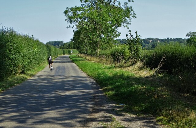
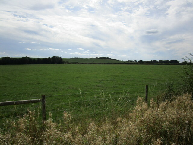
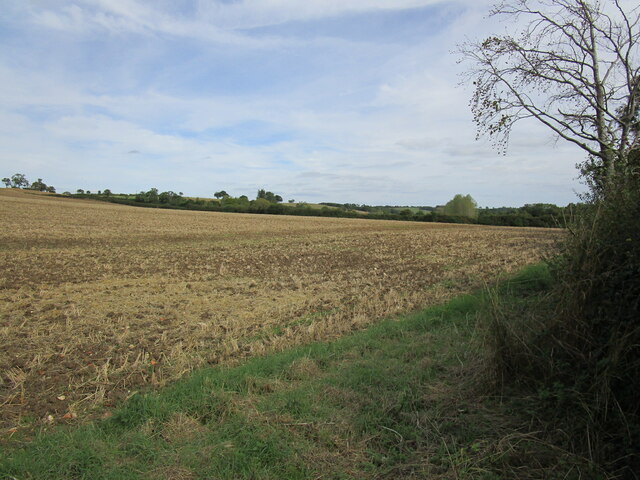
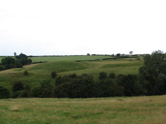
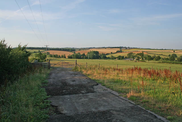
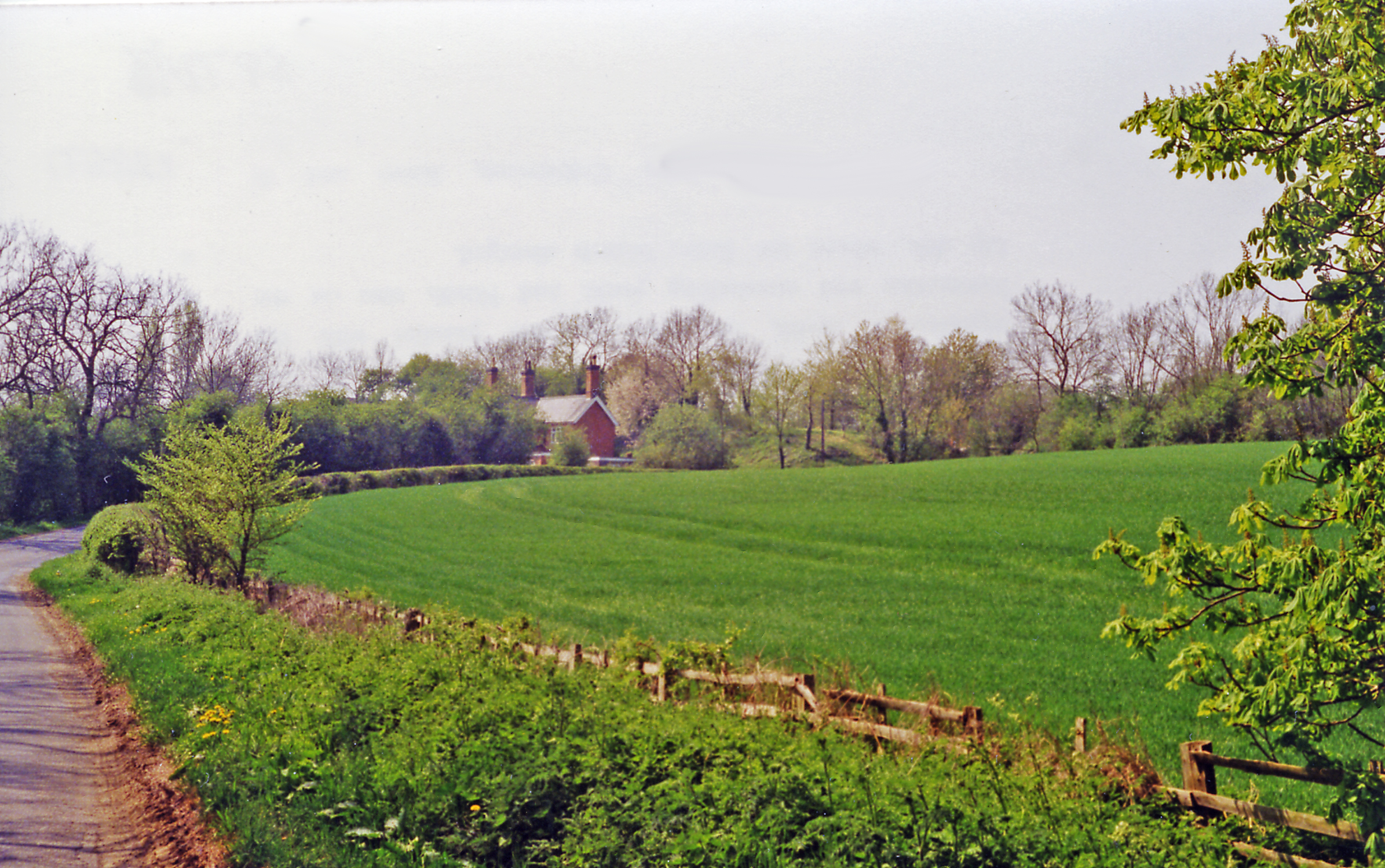
Hallaton Spinneys is a picturesque woodland area located in Leicestershire, England. Situated near the village of Hallaton, it covers an area of approximately 35 hectares and is known for its natural beauty and diverse flora and fauna.
The Spinneys consists primarily of broad-leaved trees such as oak, ash, and beech, which create a dense and enchanting forest environment. The woodland floor is adorned with a carpet of bluebells during the springtime, providing a stunning display of vibrant colors. Additionally, the area is home to a variety of other wildflowers, including primroses, wood anemones, and foxgloves.
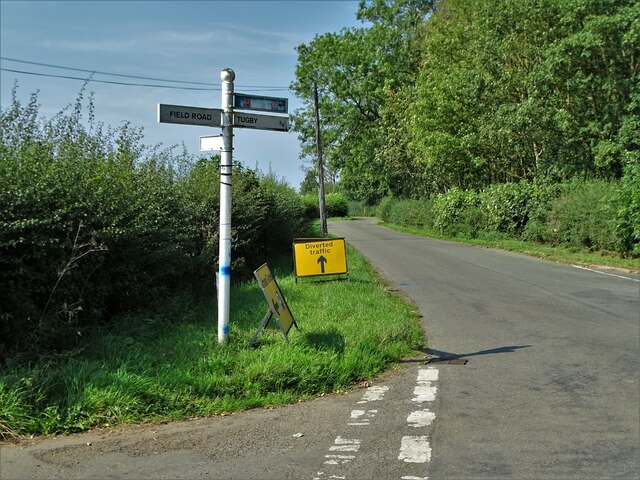
The woodland is intersected by a network of footpaths and trails, allowing visitors to explore its scenic surroundings. These paths provide access to various points of interest within the Spinneys, such as a small stream and a charming pond. The tranquil atmosphere and peaceful ambiance make it an ideal place for nature lovers, hikers, and birdwatchers.
Hallaton Spinneys is also a haven for wildlife, with a rich diversity of animals and birds inhabiting the area. Bird enthusiasts can spot species such as woodpeckers, owls, and nuthatches, while keen-eyed observers may even catch a glimpse of deer, badgers, and foxes.
Overall, Hallaton Spinneys offers a delightful escape into nature, with its stunning woodlands, vibrant wildflowers, and abundant wildlife. It provides a serene and idyllic setting for visitors to relax, explore, and appreciate the natural beauty of Leicestershire's countryside.
If you have any feedback on the listing, please let us know in the comments section below.
Hallaton Spinneys Images
Images are sourced within 2km of 52.578386/-0.85750614 or Grid Reference SP7798. Thanks to Geograph Open Source API. All images are credited.


Hallaton Spinneys is located at Grid Ref: SP7798 (Lat: 52.578386, Lng: -0.85750614)
Administrative County: Leicestershire
District: Harborough
Police Authority: Leicestershire
What 3 Words
///comment.chaos.shortcuts. Near Ridlington, Rutland
Nearby Locations
Related Wikis
Hallaton Castle
Hallaton Castle was situated to the west of the village of Hallaton, which lies some 20 km to the south-east of the city of Leicester (grid reference SP780967...

Goadby
Goadby is a village and civil parish in the Harborough district of Leicestershire, England, about 8 miles north of Market Harborough. It had a population...

East Norton
East Norton is a small village and parish located in the east of Leicestershire, adjoining the A47 Leicester to Uppingham road. According to the 2001 Census...

St. Michael's parish church, Hallaton
St Michael's church, Hallaton is a parish church in the town of Hallaton, Leicestershire. It is a Grade I listed building.It is a Norman style church,...

Hallaton
Hallaton is a village and civil parish in the Harborough district of Leicestershire, England. According to the 2001 census the parish had a population...

Hallaton Treasure
The Hallaton Treasure, the largest hoard of British Iron Age coins, was discovered in 2000 near Hallaton in southeast Leicestershire, England, by volunteers...
East Norton railway station
East Norton railway station served the village of East Norton, Leicestershire. The station was half a mile east of the village on the north side of the...
Hallaton railway station
Hallaton railway station was a former railway station serving the village of Hallaton, Leicestershire, on the Great Northern and London and North Western...
Nearby Amenities
Located within 500m of 52.578386,-0.85750614Have you been to Hallaton Spinneys?
Leave your review of Hallaton Spinneys below (or comments, questions and feedback).