Scrapelor's Wood

Wood, Forest in Oxfordshire South Oxfordshire

England

Scrapelor's Wood

Houses, Chalkpit Lane, Chinnor Part of a development on the site of a cement works.
Houses, Chalkpit Lane, Chinnor Credit: Robin Webster

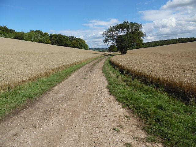
Scrapelor's Wood is a picturesque forest located in Oxfordshire, England. Spanning over 100 acres, it is a haven for nature enthusiasts and those seeking solace in the tranquility of the outdoors. With its diverse ecosystem and enchanting scenery, Scrapelor's Wood offers a unique experience for visitors.

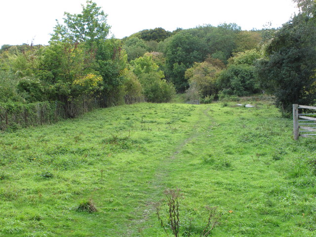
The wood is primarily composed of deciduous trees, including oak, beech, and ash, which create a dense canopy overhead. This provides shelter for a multitude of wildlife species, such as deer, foxes, badgers, and a variety of bird species. Birdwatchers will especially appreciate the opportunity to spot species such as woodpeckers, owls, and thrushes.

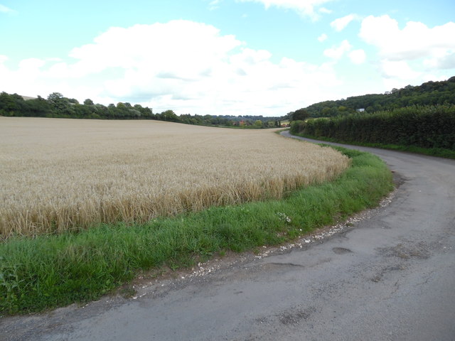
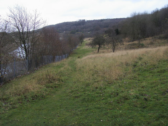
Interlaced throughout the wood are numerous walking trails and footpaths, allowing visitors to explore its beauty at their own pace. The paths wind through the forest, leading to hidden clearings and peaceful streams that provide a serene backdrop. These water sources also attract an array of aquatic creatures, including frogs and dragonflies.

Scrapelor's Wood is particularly renowned for its vibrant display of flora during the spring and summer months. Bluebells carpet the forest floor, creating a sea of delicate purple hues, while wildflowers add splashes of color to the landscape. The wood truly comes to life during this time, with the sweet scent of blossoms filling the air.

For those interested in history, the wood has some intriguing archaeological features. Ancient burial mounds and remnants of Iron Age settlements can be found scattered throughout, offering glimpses into the area's rich past.

Overall, Scrapelor's Wood in Oxfordshire is a captivating destination that promises an immersive experience in nature, perfect for anyone seeking a peaceful retreat or a chance to reconnect with the great outdoors.

If you have any feedback on the listing, please let us know in the comments section below.

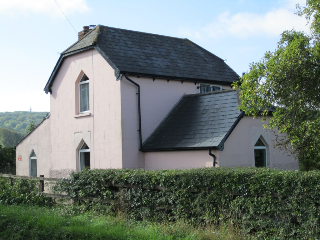
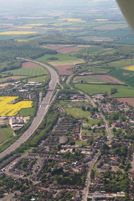
Scrapelor's Wood Images

Images are sourced within 2km of 51.677528/-0.89967981 or Grid Reference SU7698. Thanks to Geograph Open Source API. All images are credited.

Houses, Chalkpit Lane, Chinnor Part of a development on the site of a cement works.
Houses, Chalkpit Lane, Chinnor
Part of a development on the site of a cement works.
View looking East towards Bennett End This photo shows the track, known as Collier's Lane, looking East towards Bennett End from Hallbottom Farm. Beechwood Shaw can be seen on the left beyond the field of crops.
View looking East towards Bennett End
This photo shows the track, known as Collier's Lane, looking East towards Bennett End from Hallbottom Farm. Beechwood Shaw can be seen on the left beyond the field of crops.
View looking West near Hallbottom Farm This photo shows a view looking West from Collier's Lane towards the edge of the Chiltern Hills. Lott Wood can be seen towards the right of the photo, whilst the BT radio tower, Northwest of Stokenchurch can be seen on the horizon, SU7496 refers.
View looking West near Hallbottom Farm
This photo shows a view looking West from Collier's Lane towards the edge of the Chiltern Hills. Lott Wood can be seen towards the right of the photo, whilst the BT radio tower, Northwest of Stokenchurch can be seen on the horizon, SU7496 refers.
View looking East towards Bennett End This photo shows Grange Farm Road looking East towards Bennett End. Barley can be seen in this field before it is harvested.
View looking East towards Bennett End
This photo shows Grange Farm Road looking East towards Bennett End. Barley can be seen in this field before it is harvested.
Dog Rose - Rosa canina This wild rose can be seen occasionally along trails in the countryside.

<span class="nowrap"><a title="https://en.wikipedia.org/wiki/Rosa_canina" rel="nofollow ugc noopener" href="https://en.wikipedia.org/wiki/Rosa_canina">Link</a><img style="margin-left:2px;" alt="External link" title="External link - shift click to open in new window" src="https://s1.geograph.org.uk/img/external.png" width="10" height="10"/></span>
Dog Rose - Rosa canina
This wild rose can be seen occasionally along trails in the countryside. LinkExternal link
Oak tree in hedgerow by the Ridgeway
Maize in narrow field by the Ridgeway The field is a thin wedge between the Icknield Way and a disused railway line. The maize is probably being grown as cover and feed for game birds, so will be left standing through the winter.
Maize in narrow field by the Ridgeway
The field is a thin wedge between the Icknield Way and a disused railway line. The maize is probably being grown as cover and feed for game birds, so will be left standing through the winter.
Copse by the Ridgeway This is a triangular-shaped copse beside the Ridgeway.
Copse by the Ridgeway
This is a triangular-shaped copse beside the Ridgeway.
Pheasants on stubble by the Ridgeway The grass in the foreground is a point-to-point racecourse.
Pheasants on stubble by the Ridgeway
The grass in the foreground is a point-to-point racecourse.
Track to Kingston Wood from Icknield Way The track runs across the middle of the point-to-point racecourse used a few times a year. There are some pheasants on the stubble in the centre of the photo.
Track to Kingston Wood from Icknield Way
The track runs across the middle of the point-to-point racecourse used a few times a year. There are some pheasants on the stubble in the centre of the photo.
Point-to-point racecourse above Kingston Blount The racecourse can be seen best on satellite maps, as a grassy strip through six fields. It runs near the Icknield Way for almost a kilometre from the Kingston Hill road, and loops around to run just below Kingston Wood and Crowellhill Wood.
Point-to-point racecourse above Kingston Blount
The racecourse can be seen best on satellite maps, as a grassy strip through six fields. It runs near the Icknield Way for almost a kilometre from the Kingston Hill road, and loops around to run just below Kingston Wood and Crowellhill Wood.
Restricted Byway to Crowell Hill View from junction with Icknield Way (The Ridgeway).
Restricted Byway to Crowell Hill
View from junction with Icknield Way (The Ridgeway).
Icknield Way (The Ridgeway) above Crowell Removable posts prevent use by unauthorised vehicles.
Icknield Way (The Ridgeway) above Crowell
Removable posts prevent use by unauthorised vehicles.
Flooded former Chinnor chalk pit View from The Ridgeway.
Flooded former Chinnor chalk pit
View from The Ridgeway.
Cattle handling chute, Oakley Hill Nature Reserve The reserve is owned by Berkshire, Buckinghamshire and Oxfordshire Wildlife Trust, who graze cattle to maintain the chalk downland.
Cattle handling chute, Oakley Hill Nature Reserve
The reserve is owned by Berkshire, Buckinghamshire and Oxfordshire Wildlife Trust, who graze cattle to maintain the chalk downland.
Oakley Hill Nature Reserve The reserve is owned by Berkshire, Buckinghamshire and Oxfordshire Wildlife Trust.
Oakley Hill Nature Reserve
The reserve is owned by Berkshire, Buckinghamshire and Oxfordshire Wildlife Trust.
Abandoned agricultural equipment Strong steel beams for use in heavy chalkland. The tines have sunk into the soil, so it must have been left some time ago.
Abandoned agricultural equipment
Strong steel beams for use in heavy chalkland. The tines have sunk into the soil, so it must have been left some time ago.
Crab apples by the Ridgeway
Show me another place!

Scrapelor's Wood is located at Grid Ref: SU7698 (Lat: 51.677528, Lng: -0.89967981)

Administrative County: Oxfordshire

District: South Oxfordshire

Police Authority: Thames Valley

What 3 Words

///midwinter.winter.having. Near Stokenchurch, Buckinghamshire

Related Wikis

Sir Charles Napier Inn

The Sir Charles Napier Inn (commonly known as the Sir Charles Napier or simply the Charles Napier) is a gastropub in Spriggs Alley about 1.5 miles (2.4...

Aston Rowant Woods

Aston Rowant Woods is a 209.7-hectare (518-acre) biological Site of Special Scientific Interest near Aston Rowant in Oxfordshire and Buckinghamshire. Part...

Oakley Hill nature reserve

Oakley Hill is a 13-hectare (32-acre) nature reserve south of Chinnor in Oxfordshire, England. It is managed by the Berkshire, Buckinghamshire and Oxfordshire...

Chinnor Chalk Pit

Chinnor Chalk Pit is a 20.4-hectare (50-acre) geological Site of Special Scientific Interest south of Chinnor in Oxfordshire. It is a Geological Conservation...

Chiltern Hills

The Chiltern Hills are a chalk escarpment in the UK northwest of London, covering 660 square miles (1,700 km2) across Oxfordshire, Buckinghamshire, Hertfordshire...

Stokenchurch War Memorial

Stokenchurch War Memorial is located outside the Memorial Hall, Wycombe Road, Stokenchurch, Buckinghamshire, England. It is a grade II listed building...

Kingston Crossing Halt railway station

Kingston Crossing Halt railway station was a halt on the Watlington and Princes Risborough Railway which the Great Western Railway opened in 1906 to serve...

Stokenchurch

Stokenchurch is a village and civil parish in south-west Buckinghamshire, England. It is located in the Chiltern Hills, about 3 miles (5 km) south of Chinnor...

Nearby Amenities

Located within 500m of 51.677528,-0.89967981
Sprig's Alley
Place: hamlet
Wikidata: Q77953805
Lat/Long: 51.6790223/-0.8956822
Sir Charles Napier helipad
Aeroway: helipad
Surface: grass
Lat/Long: 51.677635/-0.8974151
The data included in this document is from www.openstreetmap.org. The data is made available under ODbL.

Have you been to Scrapelor's Wood?

Leave your review of Scrapelor's Wood below (or comments, questions and feedback).