Ash Holt
Wood, Forest in Nottinghamshire Bassetlaw
England
Ash Holt
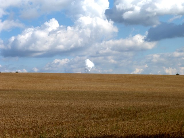
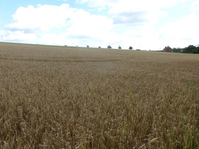
Ash Holt is a small village located in Nottinghamshire, England. Situated within the district of Ashfield, it is a picturesque area surrounded by woodlands and forests, hence its name. The village is known for its tranquil atmosphere and natural beauty, making it a popular destination for nature enthusiasts and those seeking a peaceful retreat.
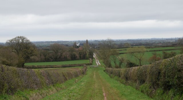
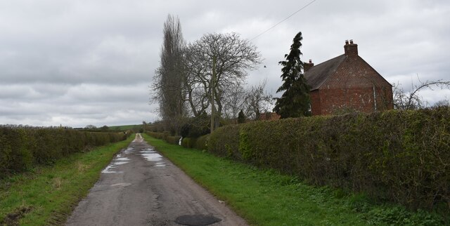
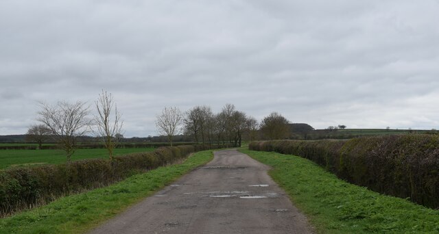
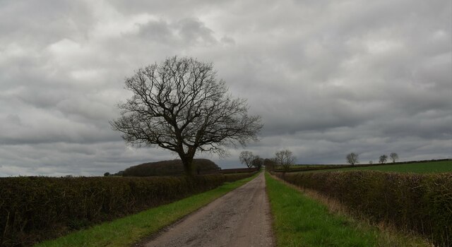
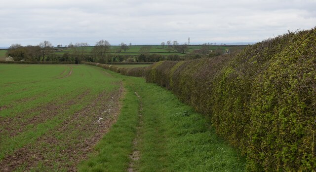
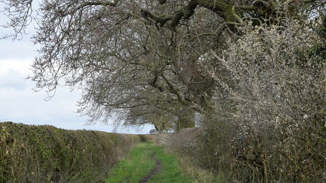
The woodlands surrounding Ash Holt provide ample opportunities for outdoor activities such as hiking, walking, and birdwatching. The lush greenery and diverse wildlife make it an ideal spot for nature lovers to explore and connect with the natural world. The village itself is characterized by charming cottages and traditional architecture, adding to its rustic appeal.
Despite its small size, Ash Holt boasts a close-knit community that takes pride in its local heritage. The villagers often organize events and festivals to celebrate their traditions and showcase their talents. The village also has a community center that serves as a hub for various activities and gatherings.
In terms of amenities, Ash Holt features a few local shops and services, catering to the needs of its residents. However, for more extensive shopping and entertainment options, residents can easily access nearby towns and cities, such as Mansfield or Nottingham.
Ash Holt, Nottinghamshire is a hidden gem that offers a serene and picturesque setting for those looking to escape the hustle and bustle of city life. With its natural beauty, friendly community, and proximity to other urban areas, it is a perfect place to call home or to visit for a peaceful getaway.
If you have any feedback on the listing, please let us know in the comments section below.
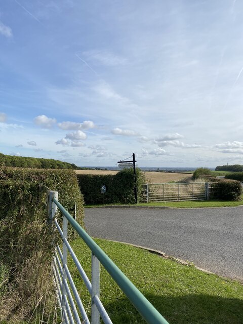
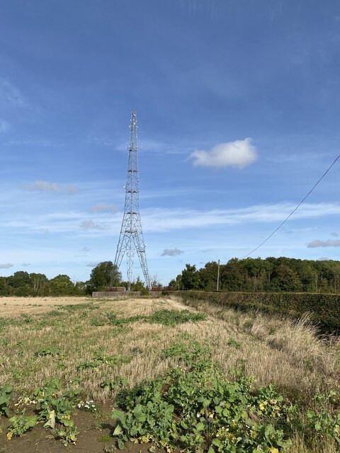
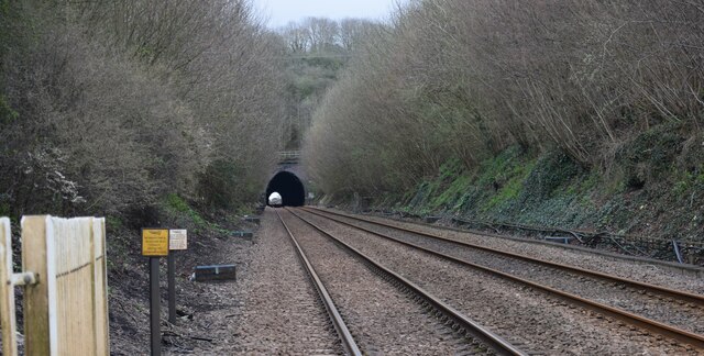
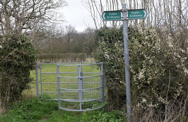
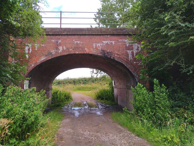
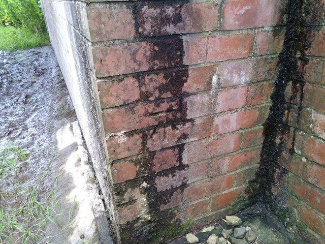
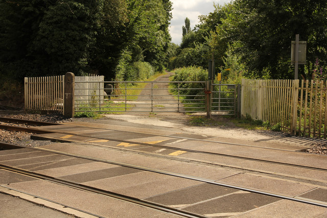
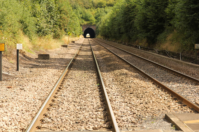
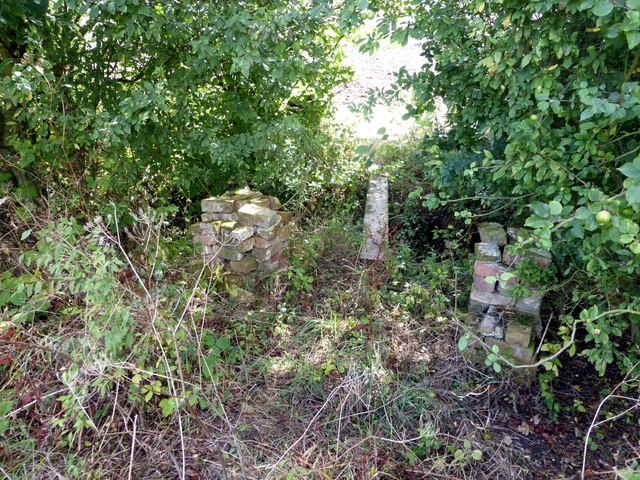
Ash Holt Images
Images are sourced within 2km of 53.332821/-0.85749816 or Grid Reference SK7682. Thanks to Geograph Open Source API. All images are credited.
Ash Holt is located at Grid Ref: SK7682 (Lat: 53.332821, Lng: -0.85749816)
Administrative County: Nottinghamshire
District: Bassetlaw
Police Authority: Nottinghamshire
What 3 Words
///credit.dives.hotspot. Near Clarborough, Nottinghamshire
Nearby Locations
Related Wikis
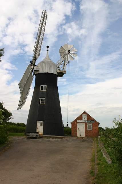
Subscription Mill, North Leverton
Subscription Mill is a commercially working tower mill at North Leverton, Nottinghamshire that was built in 1813. == History == Subscription Mill was built...
North Leverton with Habblesthorpe
North Leverton with Habblesthorpe is a village and civil parish in the English county of Nottinghamshire. The population (including Coates) as at the...

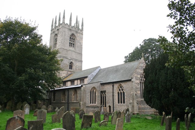
St Martin's Church, North Leverton
St Martin's Church, North Leverton is a Grade I listed parish church in the Church of England in North Leverton. == History == The church was built in...

All Saints' Church, South Leverton
All Saints’ Church, South Leverton is a Grade II* listed parish church in the Church of England in South Leverton, Nottinghamshire. == History == The church...

Leverton railway station
Leverton railway station was a station between North Leverton with Habblesthorpe and South Leverton, Nottinghamshire, England which closed in November...
South Leverton
South Leverton is a village and civil parish in Bassetlaw, north Nottinghamshire, England, four miles from Retford. According to the 2001 census it has...
Hayton, Nottinghamshire
Hayton is a village in Nottinghamshire, England. It is located 4 miles north-east of Retford. According to the 2001 census it had a population (including...
St Peter and St Paul's Church, Sturton-le-Steeple
St Peter and St Paul's Church, Sturton-le-Steeple is a Grade II* listed parish church in the Church of England in Sturton le Steeple, near Retford in Nottinghamshire...
Nearby Amenities
Located within 500m of 53.332821,-0.85749816Have you been to Ash Holt?
Leave your review of Ash Holt below (or comments, questions and feedback).