Crowell Hill
Settlement in Oxfordshire South Oxfordshire
England
Crowell Hill

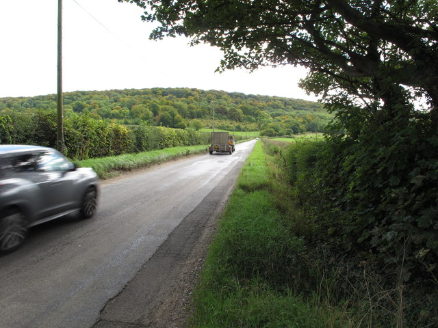
Crowell Hill is a small village located in the county of Oxfordshire, England. Situated approximately 5 miles southeast of the market town of Thame, it falls within the district of South Oxfordshire. The village is surrounded by picturesque countryside, offering residents and visitors a tranquil setting.
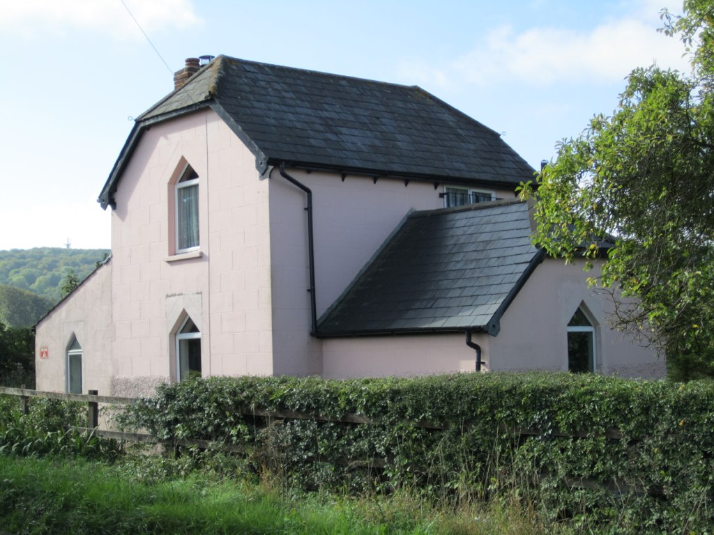
With a population of around 300 inhabitants, Crowell Hill maintains a close-knit community feel. The village is characterized by its charming thatched-roof cottages and historic buildings. The architecture reflects its long-standing history, with some structures dating back to the medieval period.
Despite its small size, Crowell Hill is well-served by amenities and facilities. The village boasts a local pub, providing a social hub for residents and visitors alike. Additionally, there is a village hall that hosts various community events and gatherings throughout the year.
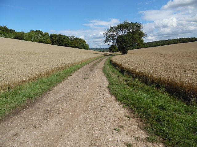
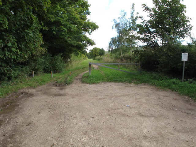
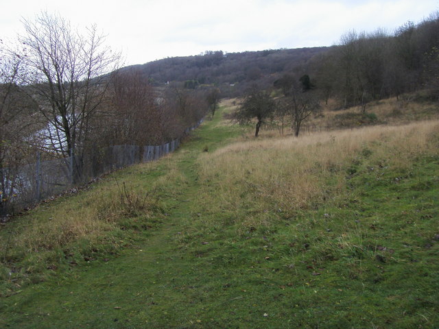
The surrounding countryside offers opportunities for outdoor activities, such as hiking, cycling, and bird-watching. The nearby Chiltern Hills, designated as an Area of Outstanding Natural Beauty, provide stunning views and picturesque trails for nature lovers.
For those seeking more amenities, the larger town of Thame is conveniently located nearby. Thame offers a wider range of shops, supermarkets, restaurants, and leisure facilities.
In summary, Crowell Hill is a charming and idyllic village in Oxfordshire. With its rich history, beautiful countryside, and close-knit community, it offers a peaceful and rural lifestyle within easy reach of larger towns and amenities.
If you have any feedback on the listing, please let us know in the comments section below.
Crowell Hill Images
Images are sourced within 2km of 51.68036/-0.901007 or Grid Reference SU7698. Thanks to Geograph Open Source API. All images are credited.


Crowell Hill is located at Grid Ref: SU7698 (Lat: 51.68036, Lng: -0.901007)
Administrative County: Oxfordshire
District: South Oxfordshire
Police Authority: Thames Valley
What 3 Words
///towel.body.exchanges. Near Stokenchurch, Buckinghamshire
Nearby Locations
Related Wikis

Sir Charles Napier Inn
The Sir Charles Napier Inn (commonly known as the Sir Charles Napier or simply the Charles Napier) is a gastropub in Spriggs Alley about 1.5 miles (2.4...

Aston Rowant Woods
Aston Rowant Woods is a 209.7-hectare (518-acre) biological Site of Special Scientific Interest near Aston Rowant in Oxfordshire and Buckinghamshire. Part...
Oakley Hill nature reserve
Oakley Hill is a 13-hectare (32-acre) nature reserve south of Chinnor in Oxfordshire, England. It is managed by the Berkshire, Buckinghamshire and Oxfordshire...

Chinnor Chalk Pit
Chinnor Chalk Pit is a 20.4-hectare (50-acre) geological Site of Special Scientific Interest south of Chinnor in Oxfordshire. It is a Geological Conservation...

Chiltern Hills
The Chiltern Hills are a chalk escarpment in the UK northwest of London, covering 660 square miles (1,700 km2) across Oxfordshire, Buckinghamshire, Hertfordshire...
Kingston Crossing Halt railway station
Kingston Crossing Halt railway station was a halt on the Watlington and Princes Risborough Railway which the Great Western Railway opened in 1906 to serve...
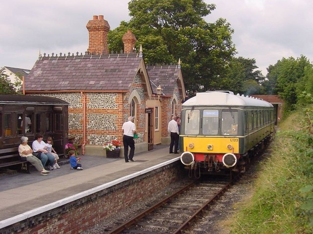
Chinnor railway station
Chinnor railway station in Oxfordshire is on the line of the former Watlington and Princes Risborough Railway. The station was reopened by the Chinnor...

Chinnor and Princes Risborough Railway
The Chinnor and Princes Risborough Railway is a preserved standard gauge heritage railway with its headquarters and main station at Chinnor in South Oxfordshire...
Nearby Amenities
Located within 500m of 51.68036,-0.901007Have you been to Crowell Hill?
Leave your review of Crowell Hill below (or comments, questions and feedback).