Crowell
Settlement in Oxfordshire South Oxfordshire
England
Crowell

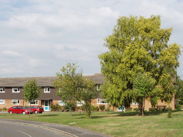
Crowell is a small village located in Oxfordshire, England. Situated approximately 6 miles east of Thame and 14 miles south of Oxford, it is nestled within the Chiltern Hills, an Area of Outstanding Natural Beauty. With a population of around 200 residents, Crowell has a close-knit community and a charming rural atmosphere.
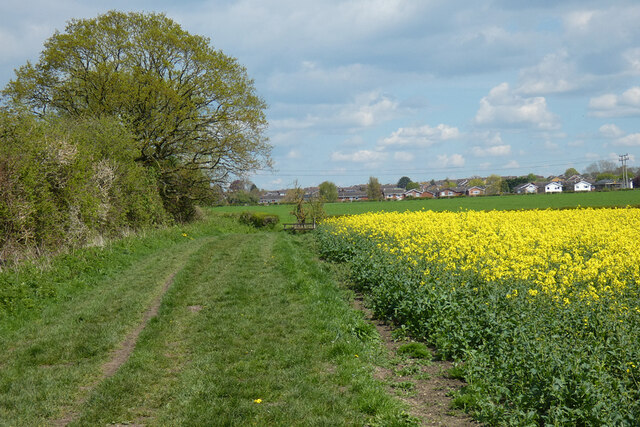
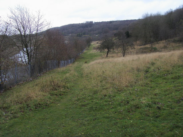
The village is known for its picturesque countryside, featuring rolling hills, lush meadows, and ancient woodlands. It offers stunning views of the surrounding landscape and is a haven for nature lovers and outdoor enthusiasts. Hiking and cycling trails are abundant, allowing visitors to explore the idyllic countryside and enjoy the tranquility of the area.
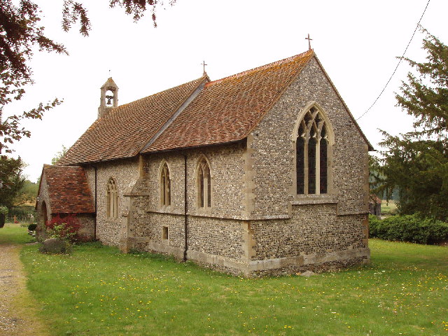
Crowell is also steeped in history, with evidence of human habitation dating back to the Iron Age. The village features several notable landmarks, including St. Mary's Church, a Grade II listed building with origins dating back to the 12th century. The church's architecture showcases a mix of Norman and Gothic styles, making it an interesting site for history buffs and architecture enthusiasts.
Despite its small size, Crowell has a vibrant community spirit. The village hosts various events throughout the year, such as fairs, festivals, and community gatherings, bringing residents together and fostering a strong sense of belonging.
In summary, Crowell is a charming village in Oxfordshire, known for its natural beauty, rich history, and tight-knit community. It offers a peaceful and picturesque retreat for those seeking a break from the hustle and bustle of city life.
If you have any feedback on the listing, please let us know in the comments section below.
Crowell Images
Images are sourced within 2km of 51.691534/-0.925028 or Grid Reference SU7499. Thanks to Geograph Open Source API. All images are credited.


Crowell is located at Grid Ref: SU7499 (Lat: 51.691534, Lng: -0.925028)
Administrative County: Oxfordshire
District: South Oxfordshire
Police Authority: Thames Valley
What 3 Words
///managed.straws.torso. Near Chinnor, Oxfordshire
Nearby Locations
Related Wikis
Crowell, Oxfordshire
Crowell is a village and civil parish in Oxfordshire, about 4 miles (6.4 km) southeast of the market town of Thame and 1 mile (1.6 km) southwest of the...
Kingston Blount
Kingston Blount is a village about 4 miles (6.4 km) southeast of Thame in South Oxfordshire, England. The village is a spring line settlement at the foot...

Oakley, Oxfordshire
Oakley is a spring line settlement at the foot of the Chiltern Hills on the route of the Lower Icknield Way. It is about 4.5 miles (7.2 km) southeast of...
Oakley Hill nature reserve
Oakley Hill is a 13-hectare (32-acre) nature reserve south of Chinnor in Oxfordshire, England. It is managed by the Berkshire, Buckinghamshire and Oxfordshire...
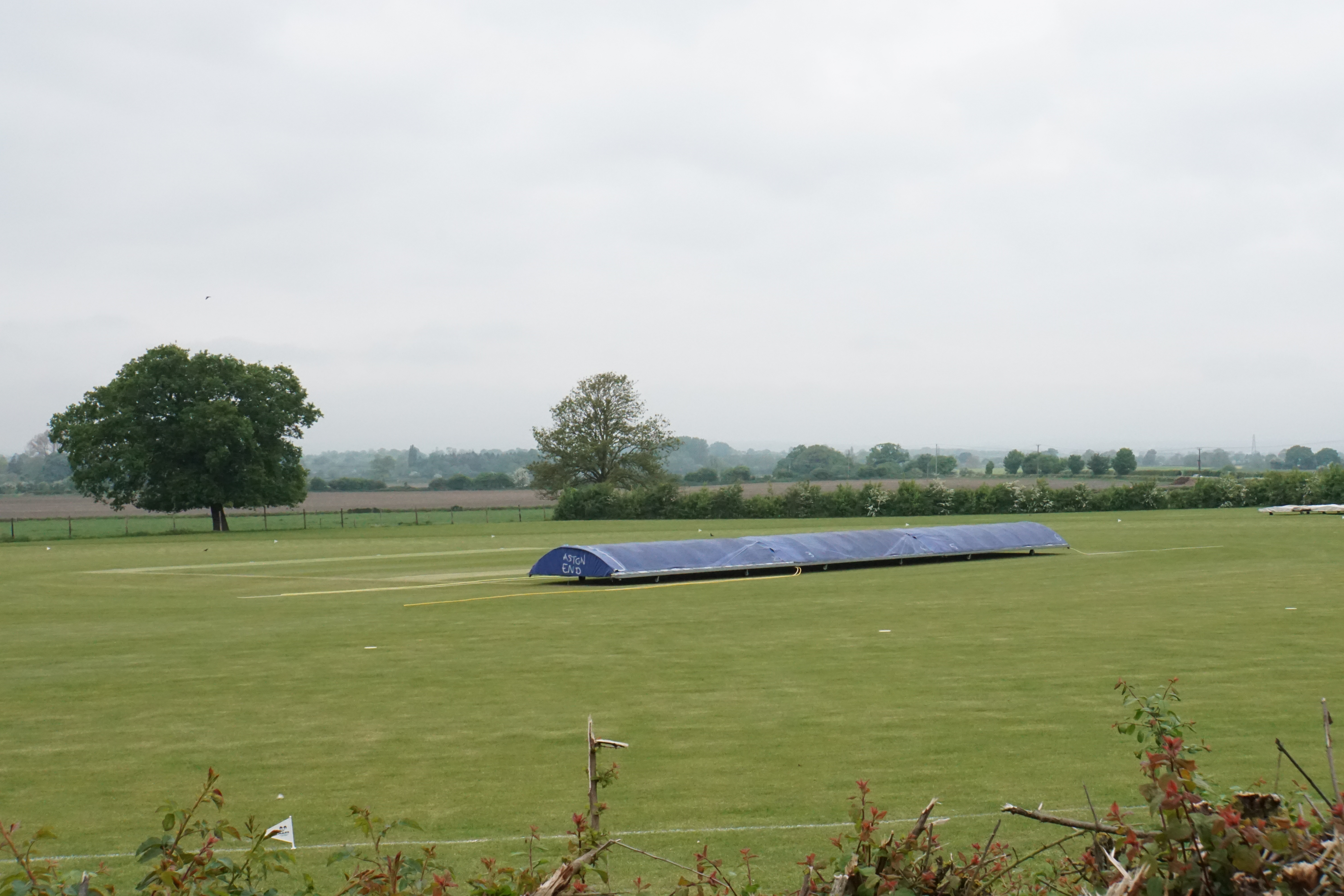
Butt's Way
Butt's Way is a cricket ground between the villages of Aston Rowant and Kingston Blount in Oxfordshire. == History == The cricket ground was established...
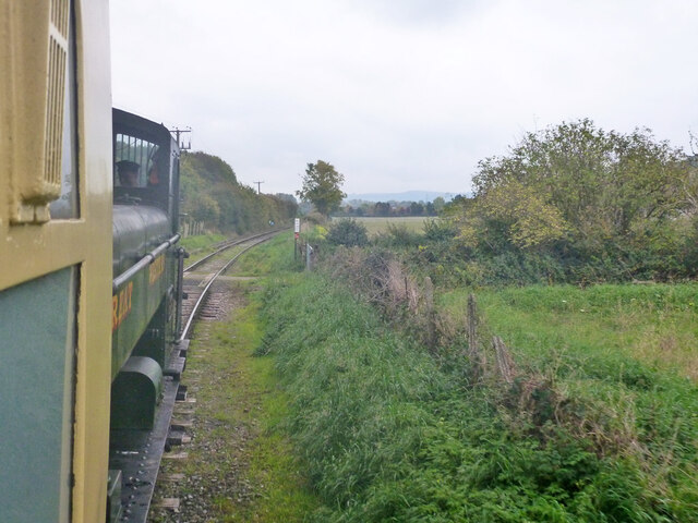
Kingston Crossing Halt railway station
Kingston Crossing Halt railway station was a halt on the Watlington and Princes Risborough Railway which the Great Western Railway opened in 1906 to serve...

Chinnor Chalk Pit
Chinnor Chalk Pit is a 20.4-hectare (50-acre) geological Site of Special Scientific Interest south of Chinnor in Oxfordshire. It is a Geological Conservation...
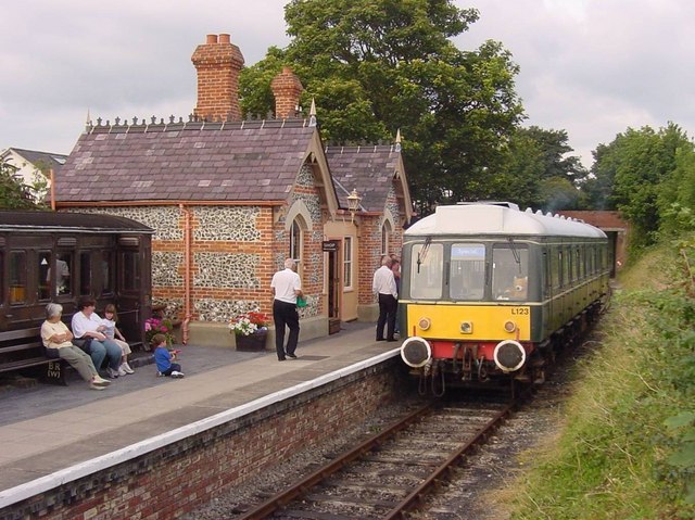
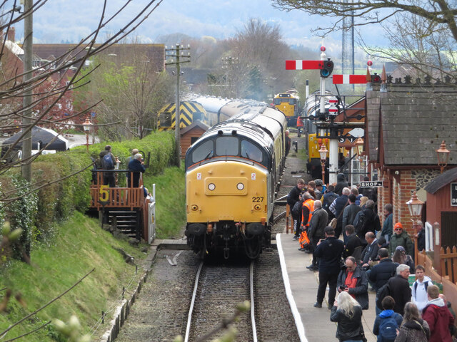
Chinnor railway station
Chinnor railway station in Oxfordshire is on the line of the former Watlington and Princes Risborough Railway. The station was reopened by the Chinnor...
Nearby Amenities
Located within 500m of 51.691534,-0.925028Have you been to Crowell?
Leave your review of Crowell below (or comments, questions and feedback).