Ashington

Settlement in Somerset South Somerset

England

Ashington

The Half Moon Inn
The Half Moon Inn Credit: David Lally

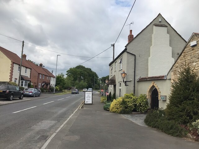
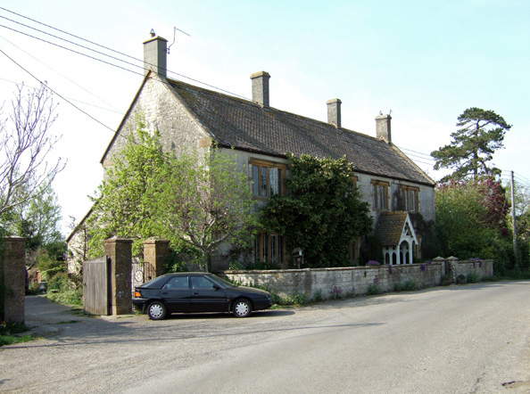
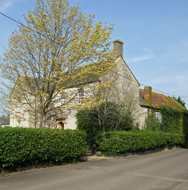
Ashington is a small village located in the county of Somerset, England. Situated approximately 15 miles east of the county town of Taunton, it is nestled in a rural setting surrounded by picturesque countryside. The village is part of the district of South Somerset and falls within the civil parish of Ilminster.

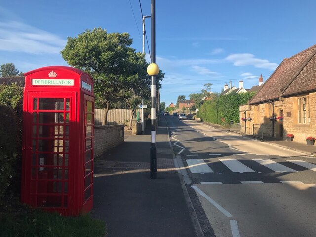
With a population of around 1,500 residents, Ashington maintains a close-knit community atmosphere. The village offers a range of amenities including a primary school, a village hall, and a local pub, providing essential services and a focal point for social gatherings. The nearby town of Ilminster offers a wider selection of shops, supermarkets, and additional amenities, ensuring residents have access to all necessary facilities.

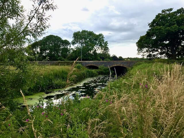
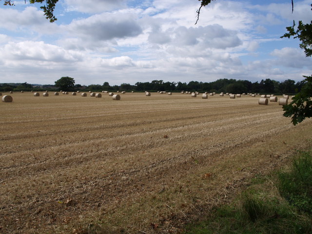
The area surrounding Ashington is known for its beautiful landscapes, rolling hills, and charming countryside views. It provides numerous opportunities for outdoor activities such as walking, hiking, and cycling. The village is also conveniently located near the Blackdown Hills Area of Outstanding Natural Beauty, attracting visitors from afar who come to enjoy the stunning scenery and tranquility of the area.

With its convenient location, Ashington offers good transport links to nearby towns and cities. The A303 road is easily accessible, connecting the village to major routes and facilitating travel to London and other parts of the country. Additionally, the nearby railway station in Taunton provides regular services to cities such as Bristol, Exeter, and London Paddington.

Ashington is a peaceful and idyllic village, perfect for those seeking a tranquil rural lifestyle while still maintaining easy access to amenities and transport links.

If you have any feedback on the listing, please let us know in the comments section below.
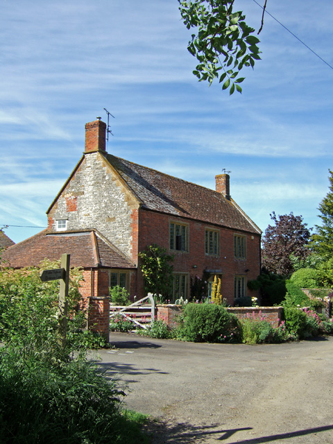
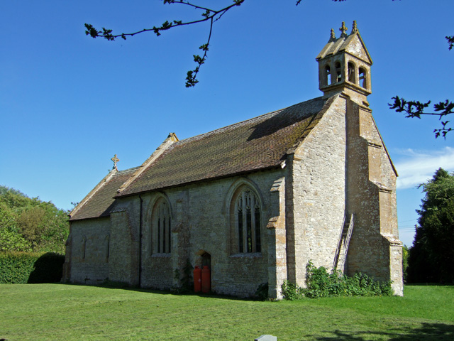
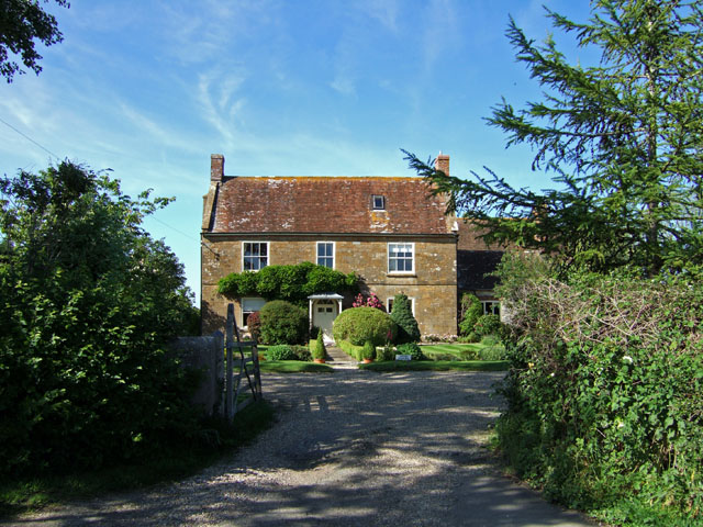
Ashington Images

Images are sourced within 2km of 50.990815/-2.623332 or Grid Reference ST5621. Thanks to Geograph Open Source API. All images are credited.

The Half Moon Inn
The Half Moon Inn
The sign of The Half Moon Inn See <a href="https://www.geograph.org.uk/photo/7272555">ST5719 : The Half Moon Inn</a>.  A bit different from the early 1980s <a href="https://www.geograph.org.uk/photo/4569903">ST5719 : The Half Moon Inn in Mudford</a>.
The sign of The Half Moon Inn
See ST5719 : The Half Moon Inn. A bit different from the early 1980s ST5719 : The Half Moon Inn in Mudford.
Mudford Bridge Looking upstream over the river.
Mudford Bridge
Looking upstream over the river.
The A359 in Mudford With a "defibrillatored" phone box.
The A359 in Mudford
With a "defibrillatored" phone box.
Beside the River Yeo Following the Leland Trail in meadows full of flowers, beside the River Yeo
Beside the River Yeo
Following the Leland Trail in meadows full of flowers, beside the River Yeo
Hinton Farmhouse - Hinton Grade II listed early C18 farmhouse, substantially altered in the 1860s by Sir Arthur Blomfield for the Goodford family.
Hinton Farmhouse - Hinton
Grade II listed early C18 farmhouse, substantially altered in the 1860s by Sir Arthur Blomfield for the Goodford family.
Higher Farm - Chilton Cantelo Opposite the church is this large farmhouse that is also a B & B. Associated with the house and the church, is the strange story of how a skull of a 17th century man came to reside within. <span class="nowrap"><a title="http://www.ghosts.org.uk/index3117.html" rel="nofollow ugc noopener" href="http://www.ghosts.org.uk/index3117.html">Link</a><img style="margin-left:2px;" alt="External link" title="External link - shift click to open in new window" src="https://s1.geograph.org.uk/img/external.png" width="10" height="10"/></span>
The house is early C18, and was remodelled in 1826, with the date recorded on a plaque over the west entrance. Grade II listed.
Higher Farm - Chilton Cantelo
Opposite the church is this large farmhouse that is also a B & B. Associated with the house and the church, is the strange story of how a skull of a 17th century man came to reside within. LinkExternal link The house is early C18, and was remodelled in 1826, with the date recorded on a plaque over the west entrance. Grade II listed.
The Parish Church of St James - Chilton Cantelo
The Cypress House - Chilton Cantelo Grade II listed former rectory, now a house. Built circa 1850 it is said, as a C19 replacement for the Old Rectory.
The Cypress House - Chilton Cantelo
Grade II listed former rectory, now a house. Built circa 1850 it is said, as a C19 replacement for the Old Rectory.
The Old Farmhouse - West Mudford Grade II listed farmhouse. Early C18.
The Old Farmhouse - West Mudford
Grade II listed farmhouse. Early C18.
Church of St Vincent - Ashington
Church of St Vincent - Ashington (2)
Farmhouse, Draycott Farm - Draycott Grade II listed, late C18 with C19 modifications.
Farmhouse, Draycott Farm - Draycott
Grade II listed, late C18 with C19 modifications.
Bales near Chilton Cantelo Giant cotton reels out in force in this field southeast of Chilton Cantelo, beside the lane to Marston Magna. The field is crossed by footpath Y5/5, and the photo is taken from its stile beside the lane.
Bales near Chilton Cantelo
Giant cotton reels out in force in this field southeast of Chilton Cantelo, beside the lane to Marston Magna. The field is crossed by footpath Y5/5, and the photo is taken from its stile beside the lane.
Ashington Wood Looking up-hill to the woods from just above the Keepers House.
Ashington Wood
Looking up-hill to the woods from just above the Keepers House.
Belfry of Church of St Vincent Ashington Detail of an unusual architectural feature.
Belfry of Church of St Vincent Ashington
Detail of an unusual architectural feature.
Flooded Fields Flooded fields beside the river Yeo just East of Yeovilton.
Flooded Fields
Flooded fields beside the river Yeo just East of Yeovilton.
Flooded Fields A small flock of lapwing over partially flooded fields by the river Yeo. Footbridge over the Hornsey Brook in foreground.
Flooded Fields
A small flock of lapwing over partially flooded fields by the river Yeo. Footbridge over the Hornsey Brook in foreground.
Show me another place!

Ashington is located at Grid Ref: ST5621 (Lat: 50.990815, Lng: -2.623332)

Administrative County: Somerset

District: South Somerset

Police Authority: Avon and Somerset

What 3 Words

///bared.craftsmen.glee. Near Ilchester, Somerset

Nearby Locations

Chilton Cantelo Ashington

Related Wikis

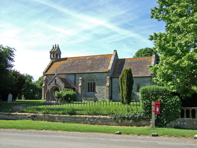
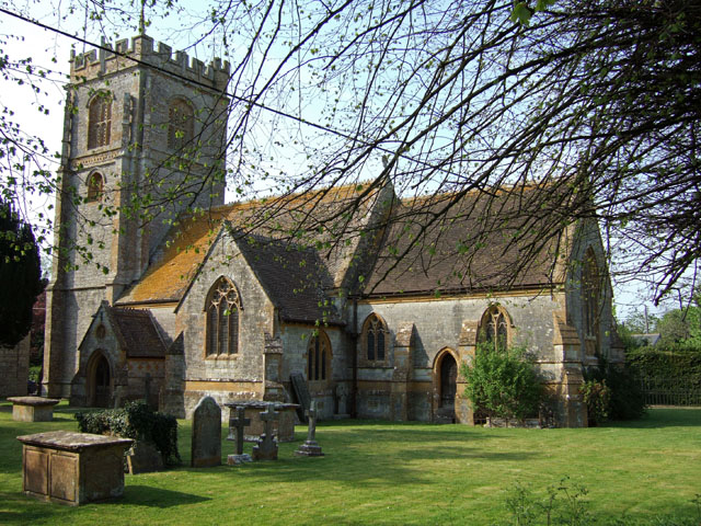
St Vincent's Church, Ashington

The Anglican Church of St Vincent at Ashington in the civil parish of Chilton Cantelo, Somerset, England, is from the 13th century. It has been designated...

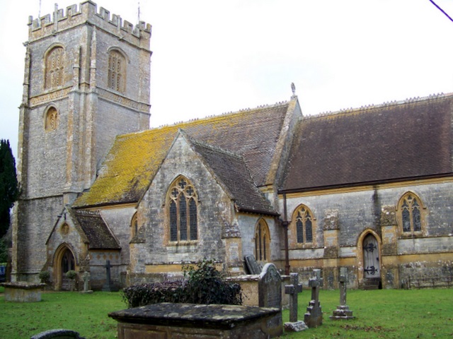
Church of St James, Chilton Cantelo

The Anglican Church of St James in Chilton Cantelo, Somerset, England was built in the 15th century. It is a Grade II* listed building. == History == The...

Chilton Cantelo School

Chilton Cantelo School was a small profit-making mixed private school located in the village of Chilton Cantelo (near Yeovil and Sherborne) in Somerset...

Mudford Manor

Mudford Manor is a historic 17th century Jacobean manor house situated on the Dorset/Somerset border in Mudford, Yeovil. The estate is surrounded by wild...

River Cam (Somerset)

The River Cam is a tributary of the River Yeo in the south of Somerset, England. The Cam rises east of Yarlington (51°00′06″N 2°38′11″W). It flows south...

Chilton Cantelo

Chilton Cantelo is a village and parish in Somerset, England, situated on the River Yeo 5 miles (8 km) north of Yeovil and 4 miles (6 km) east of Ilchester...

St Mary's Church, Mudford

The Church of St Mary in Mudford, Somerset, England, dates from the 14th century and has been designated as a Grade I listed building.The church was granted...

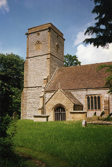
St Mary's Church, Limington

The Church of Saint Mary in Limington, Somerset, England dates from the late 14th century and includes fragments of an earlier building. It has been designated...

Nearby Amenities

Located within 500m of 50.990815,-2.623332
Ashington
Is In: Somerset
Place: village
Lat/Long: 50.9900771/-2.6261473
Post Box
Drive Through: no
Operator: Royal Mail
Operator Wikidata: Q638098
Lat/Long: 50.9901961/-2.6264976
The data included in this document is from www.openstreetmap.org. The data is made available under ODbL.

Have you been to Ashington?

Leave your review of Ashington below (or comments, questions and feedback).