Warrenhill Firs
Wood, Forest in Oxfordshire South Oxfordshire
England
Warrenhill Firs
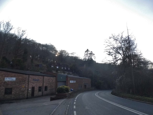
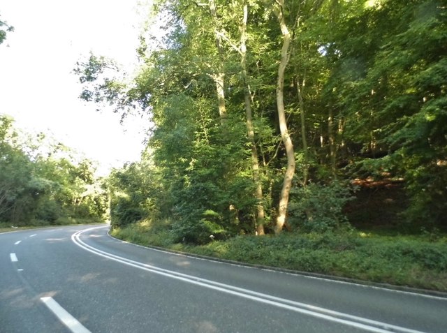
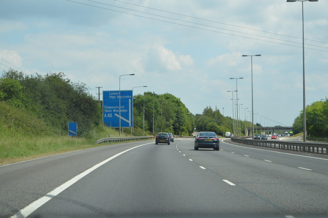
Warrenhill Firs is a picturesque woodland located in Oxfordshire, England. Covering an area of approximately 100 acres, it is a charming destination for nature enthusiasts and outdoor enthusiasts alike. The forest is situated near the town of Watlington, offering easy access for visitors.
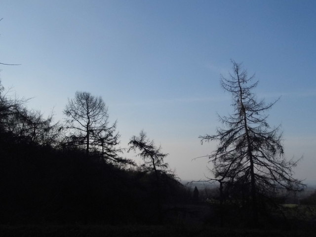
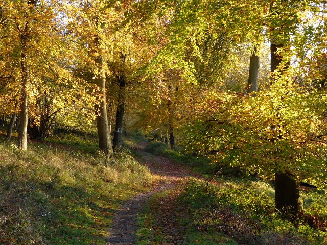
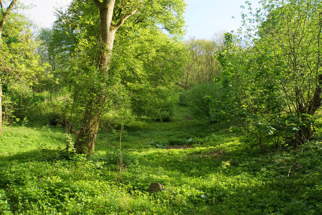
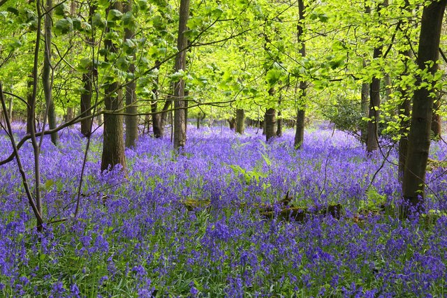
Comprising mainly of coniferous trees, Warrenhill Firs showcases a lush green landscape throughout the year. The woodland is home to a diverse range of plant and animal species, making it a haven for wildlife enthusiasts. Visitors can expect to spot a variety of birds, mammals, and insects while exploring the forest.
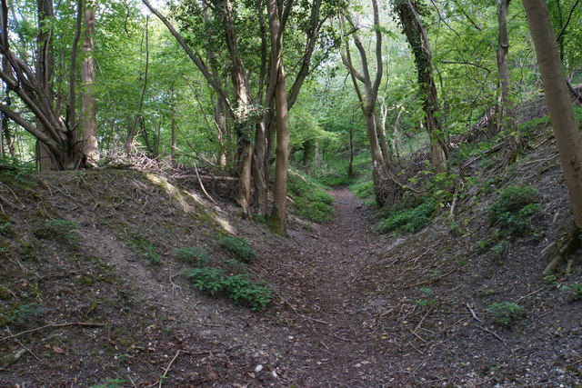
The woodland is well-equipped with a network of walking trails, providing ample opportunities for hiking, walking, and nature exploration. These trails vary in length and difficulty, catering to both casual strollers and experienced hikers. Along the way, visitors can admire the majestic trees, listen to the sounds of nature, and breathe in the fresh forest air.
Warrenhill Firs also boasts a picnic area, allowing visitors to relax and enjoy a meal amidst the natural beauty. Families and friends often gather here to have a picnic, play games, or simply soak in the tranquil atmosphere.
The forest is managed and maintained by local authorities, ensuring its preservation and sustainability. It is open to the public throughout the year, with no entry fees required. Whether for a peaceful stroll, a family outing, or a nature photography session, Warrenhill Firs offers a serene and picturesque setting for all to enjoy.
If you have any feedback on the listing, please let us know in the comments section below.
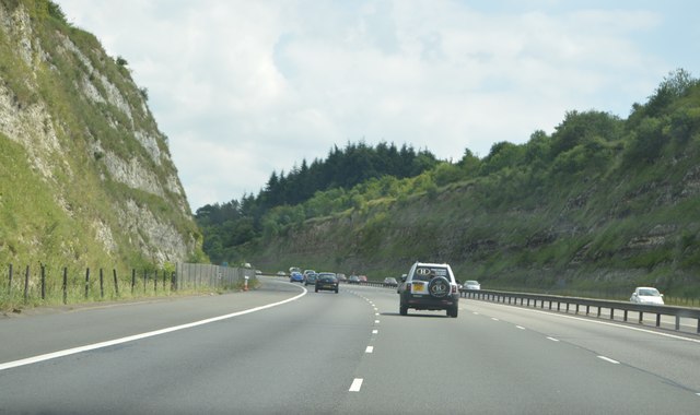
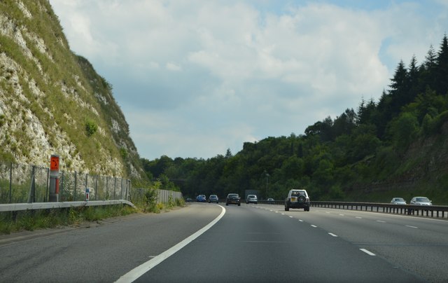
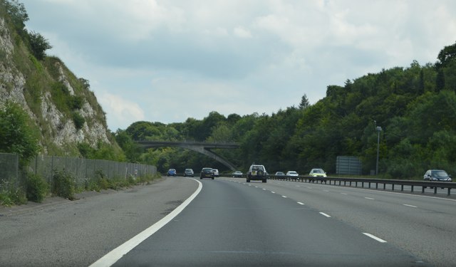
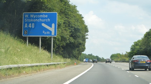
Warrenhill Firs Images
Images are sourced within 2km of 51.657527/-0.93634914 or Grid Reference SU7395. Thanks to Geograph Open Source API. All images are credited.


Warrenhill Firs is located at Grid Ref: SU7395 (Lat: 51.657527, Lng: -0.93634914)
Administrative County: Oxfordshire
District: South Oxfordshire
Police Authority: Thames Valley
What 3 Words
///soaks.beep.grunt. Near Stokenchurch, Buckinghamshire
Nearby Locations
Related Wikis

Aston Rowant Cutting
Aston Rowant Cutting is a 3.5-hectare (8.6-acre) geological Site of Special Scientific Interest south of Aston Rowant in Oxfordshire. It is a Geological...
Cowleaze Wood
Cowleaze Wood is a 70-acre (28 ha) woodland in the Chiltern Hills, a chalk ridge in South East England. The wood is in the civil parish of Lewknor, in...
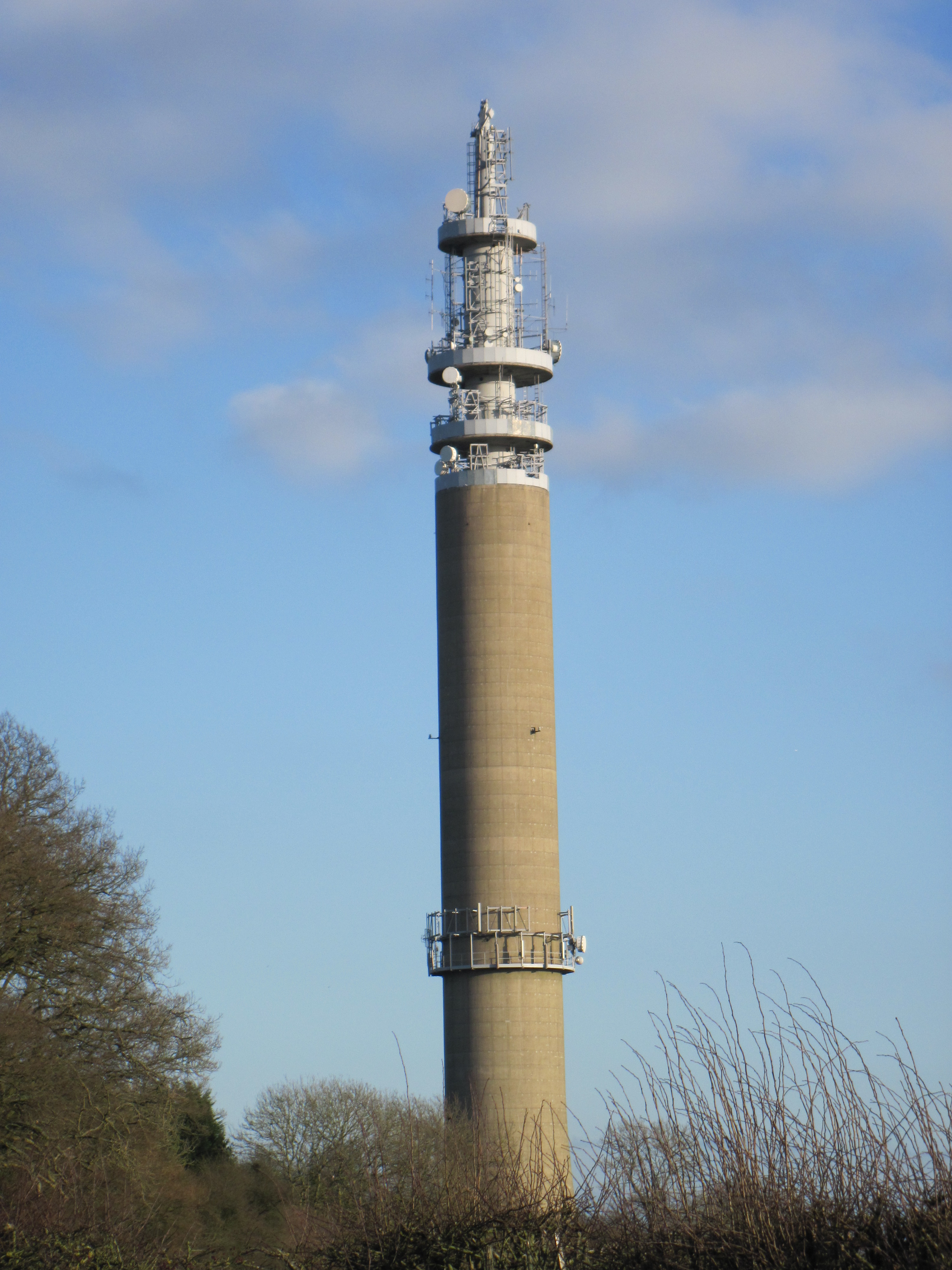
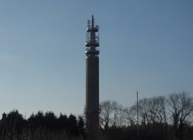
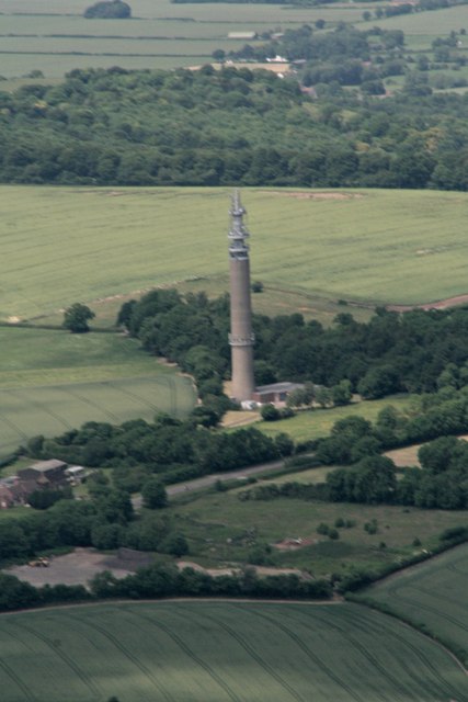
Stokenchurch BT Tower
Stokenchurch BT Tower is a telecommunications tower built of reinforced concrete at Stokenchurch, Buckinghamshire, England. Reaching to 340.5 metres (1...

Aston Rowant National Nature Reserve
Aston Rowant National Nature Reserve is located on the north-west escarpment of the Chiltern Hills, in the Chilterns Area of Outstanding Natural Beauty...
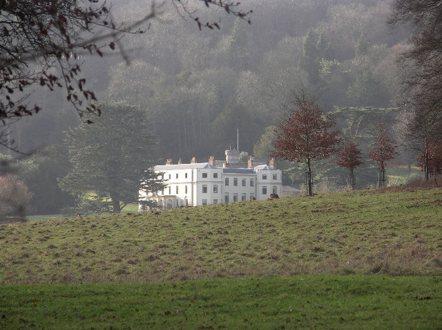
Wormsley Park
Wormsley is a private estate of Mark Getty and his family, set in 2,700-acre (1,100 ha) of rolling countryside in the Chiltern Hills of Buckinghamshire...

Garsington Opera
Garsington Opera is an annual summer opera festival founded in 1989 by Leonard Ingrams. The Philharmonia Orchestra and The English Concert are its two...

Chiltern Hills
The Chiltern Hills are a chalk escarpment in the UK northwest of London, covering 660 square miles (1,700 km2) across Oxfordshire, Buckinghamshire, Hertfordshire...

Aston Rowant railway station
Aston Rowant railway station was opened in 1872 and was a part of the Watlington and Princes Risborough Railway. Having closed in 1961, there have been...
Nearby Amenities
Located within 500m of 51.657527,-0.93634914Have you been to Warrenhill Firs?
Leave your review of Warrenhill Firs below (or comments, questions and feedback).