Lydall's Wood
Wood, Forest in Oxfordshire
England
Lydall's Wood
Lydall's Wood is a captivating forest located in Oxfordshire, England. Spanning approximately 100 acres, this enchanting woodland is a haven for nature enthusiasts and adventurers alike. Situated just a few miles outside the picturesque village of Woodstock, Lydall's Wood is easily accessible and offers a tranquil escape from the hustle and bustle of everyday life.
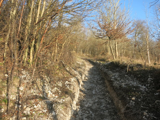
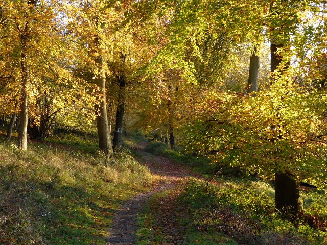
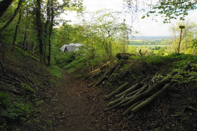
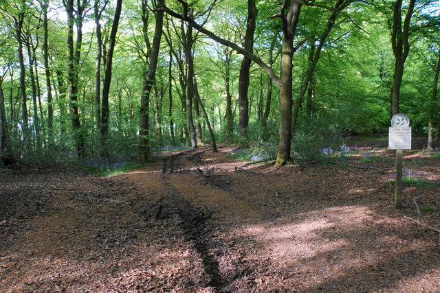
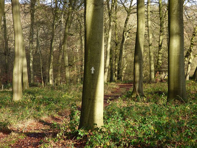
The forest is predominantly composed of ancient oak trees, which lend an air of mystery and grandeur to the surroundings. The towering trees provide a dense canopy, creating a cool and shaded atmosphere even on the warmest of days. The forest floor is covered in a thick carpet of fallen leaves, creating a soft and inviting path for visitors to explore.
Lydall's Wood is home to a diverse range of flora and fauna, making it a haven for wildlife enthusiasts. Birdsong fills the air, with species such as woodpeckers, owls, and various songbirds making their homes within the woodland. Wildlife sightings of deer, foxes, and rabbits are common, adding to the magic of the experience.
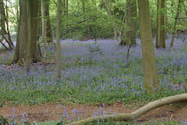
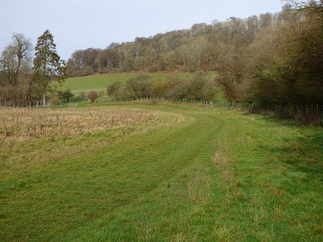
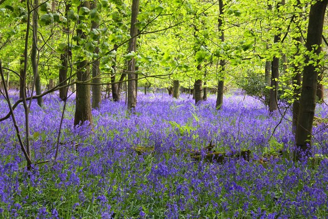
The forest offers numerous walking trails, allowing visitors to immerse themselves in the natural beauty of the surroundings. These trails wind through the wood, leading to hidden clearings and secluded spots perfect for picnics or quiet contemplation. In spring, the forest comes alive with a vibrant display of bluebells, creating a breathtaking carpet of color.
Overall, Lydall's Wood is a captivating and idyllic destination for nature lovers. Its ancient trees, diverse wildlife, and peaceful atmosphere make it a hidden gem in the heart of Oxfordshire.
If you have any feedback on the listing, please let us know in the comments section below.
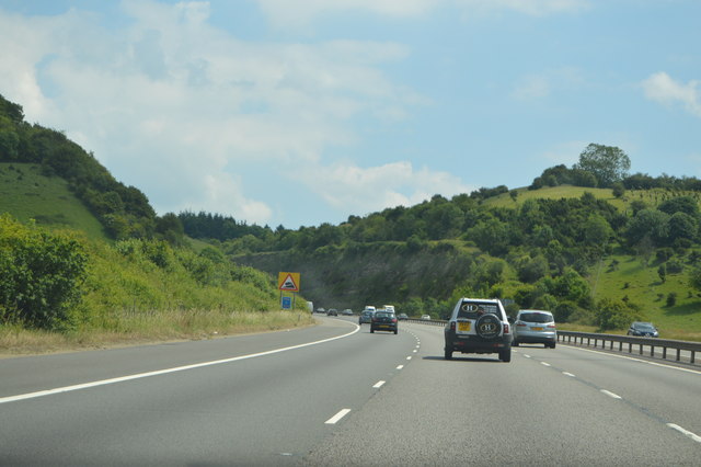
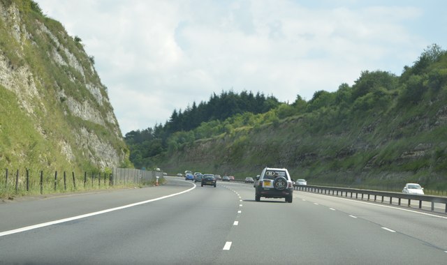
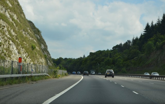
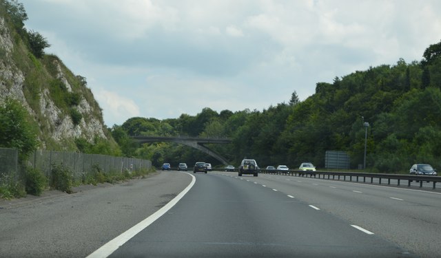
Lydall's Wood Images
Images are sourced within 2km of 51.650947/-0.94160556 or Grid Reference SU7395. Thanks to Geograph Open Source API. All images are credited.


Lydall's Wood is located at Grid Ref: SU7395 (Lat: 51.650947, Lng: -0.94160556)
Unitary Authority: Buckinghamshire
Police Authority: Thames Valley
What 3 Words
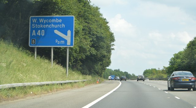
///engages.fells.liquid. Near Stokenchurch, Buckinghamshire
Nearby Locations
Related Wikis
Cowleaze Wood
Cowleaze Wood is a 70-acre (28 ha) woodland in the Chiltern Hills, a chalk ridge in South East England. The wood is in the civil parish of Lewknor, in...
Wormsley Park
Wormsley is a private estate of Mark Getty and his family, set in 2,700-acre (1,100 ha) of rolling countryside in the Chiltern Hills of Buckinghamshire...

Garsington Opera
Garsington Opera is an annual summer opera festival founded in 1989 by Leonard Ingrams. The Philharmonia Orchestra and The English Concert are its two...

Aston Rowant Cutting
Aston Rowant Cutting is a 3.5-hectare (8.6-acre) geological Site of Special Scientific Interest south of Aston Rowant in Oxfordshire. It is a Geological...

Aston Rowant National Nature Reserve
Aston Rowant National Nature Reserve is located on the north-west escarpment of the Chiltern Hills, in the Chilterns Area of Outstanding Natural Beauty...

Shirburn Hill
Shirburn Hill is a 63.7-hectare (157-acre) biological Site of Special Scientific Interest just outside and to the northeast of Watlington, Oxfordshire...

Wormsley Chalk Banks
Wormsley Chalk Banks are six separate areas which together are a 14.1-hectare (35-acre) biological Site of Special Scientific Interest near Turville in...
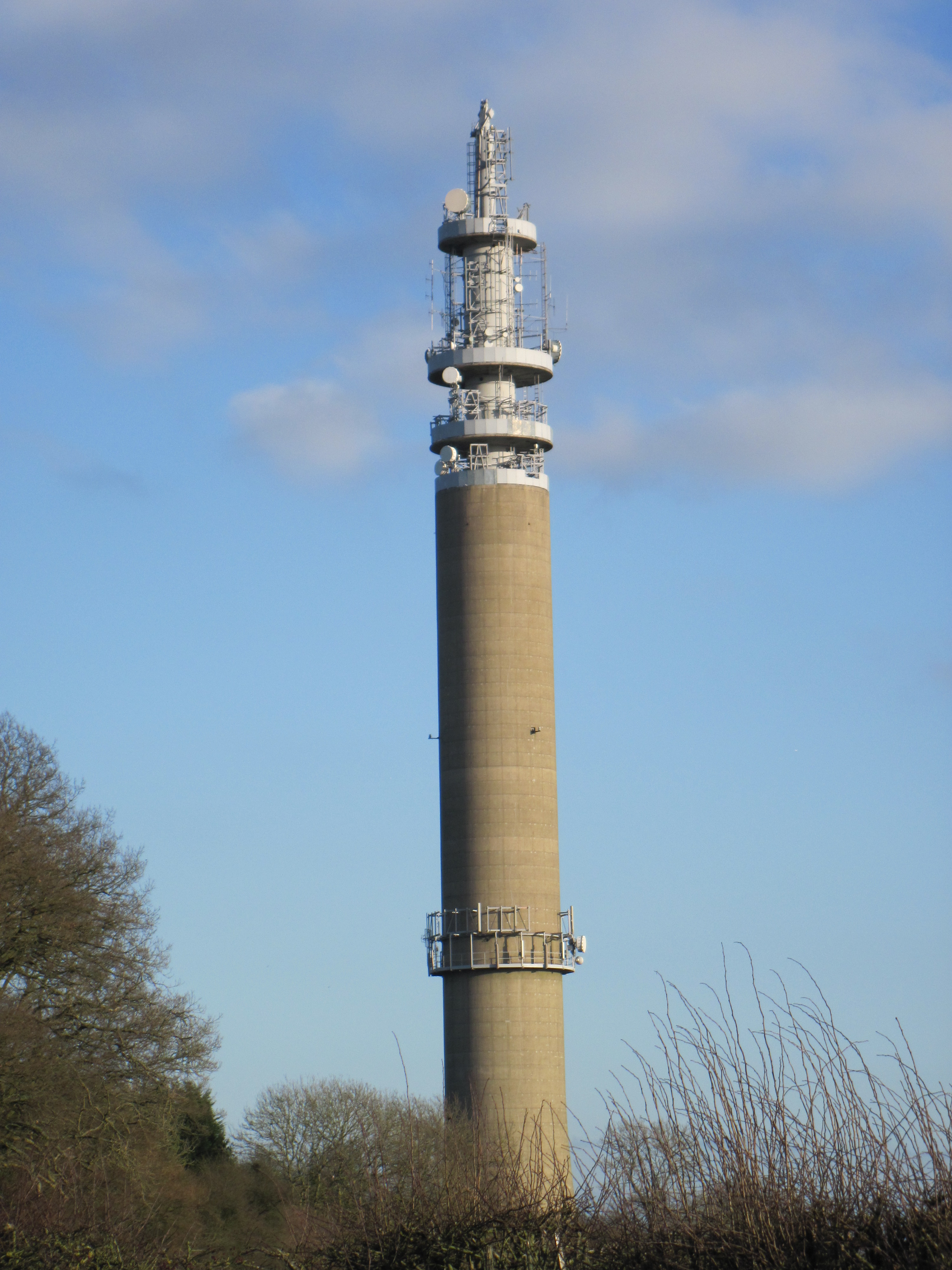
Stokenchurch BT Tower
Stokenchurch BT Tower is a telecommunications tower built of reinforced concrete at Stokenchurch, Buckinghamshire, England. Reaching to 340.5 metres (1...
Nearby Amenities
Located within 500m of 51.650947,-0.94160556Have you been to Lydall's Wood?
Leave your review of Lydall's Wood below (or comments, questions and feedback).