Great Wood
Wood, Forest in Berkshire
England
Great Wood
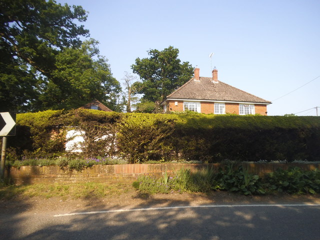
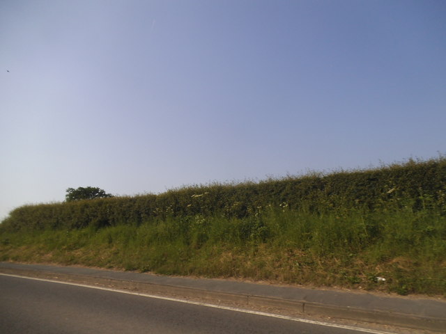
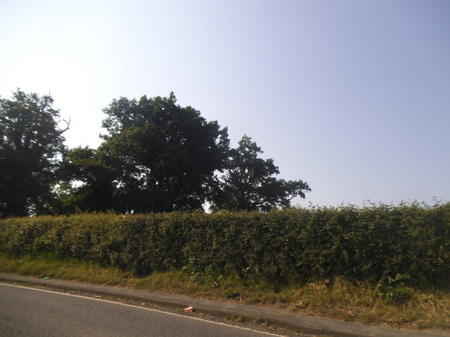
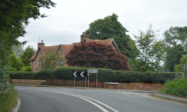
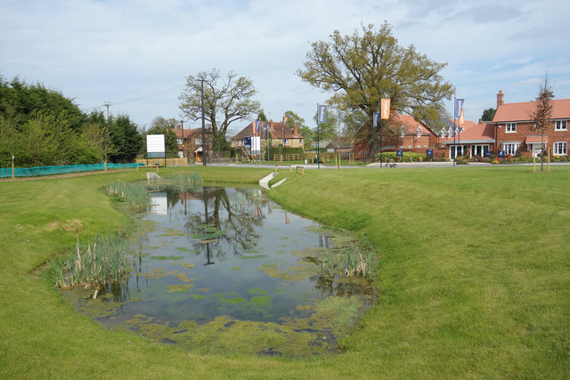
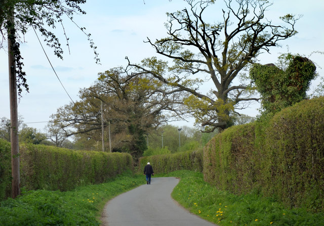
Great Wood is a vast woodland located in Berkshire, England. With an area of approximately 1,200 acres, it is one of the largest and most significant woodlands in the region. The wood is situated on the outskirts of the charming village of Great Shefford, just a few miles away from the town of Hungerford. It is easily accessible by road and is a popular destination for nature enthusiasts and hikers alike.
The woodland is primarily composed of native broadleaf trees, such as oak, beech, and ash, which create a diverse and vibrant ecosystem. These trees provide a habitat for a wide range of wildlife, including various species of birds, mammals, and insects. Visitors to Great Wood can often spot deer, foxes, badgers, and numerous bird species, making it a haven for wildlife lovers and photographers.
Walking through Great Wood, visitors can explore a network of well-maintained footpaths and trails, allowing for easy navigation and enjoyment of the picturesque surroundings. The wood offers a peaceful and serene environment, making it an ideal place for a leisurely stroll or a picnic with family and friends.
Furthermore, Great Wood is also a site of historical significance. It is believed that the woodland has been in existence for centuries and has played a crucial role in the local economy, providing timber and firewood to the surrounding communities.
In conclusion, Great Wood in Berkshire is a magnificent woodland, offering a captivating experience for nature enthusiasts, hikers, and history lovers alike. With its diverse ecosystem, scenic beauty, and historical significance, it continues to be a cherished natural treasure in the region.
If you have any feedback on the listing, please let us know in the comments section below.
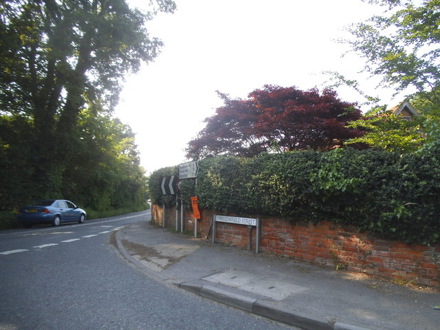
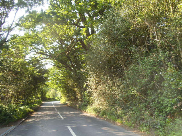
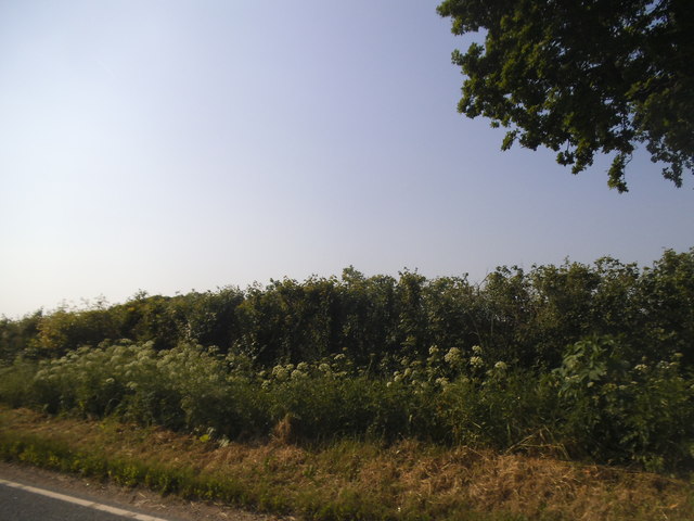
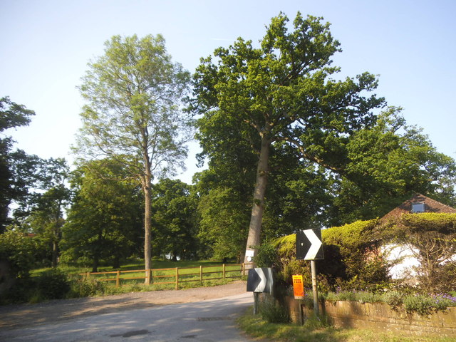
Great Wood Images
Images are sourced within 2km of 51.386708/-0.94288293 or Grid Reference SU7365. Thanks to Geograph Open Source API. All images are credited.


Great Wood is located at Grid Ref: SU7365 (Lat: 51.386708, Lng: -0.94288293)
Unitary Authority: Wokingham
Police Authority: Thames Valley
What 3 Words
///zooms.beyond.exchanges. Near Swallowfield, Berkshire
Nearby Locations
Related Wikis
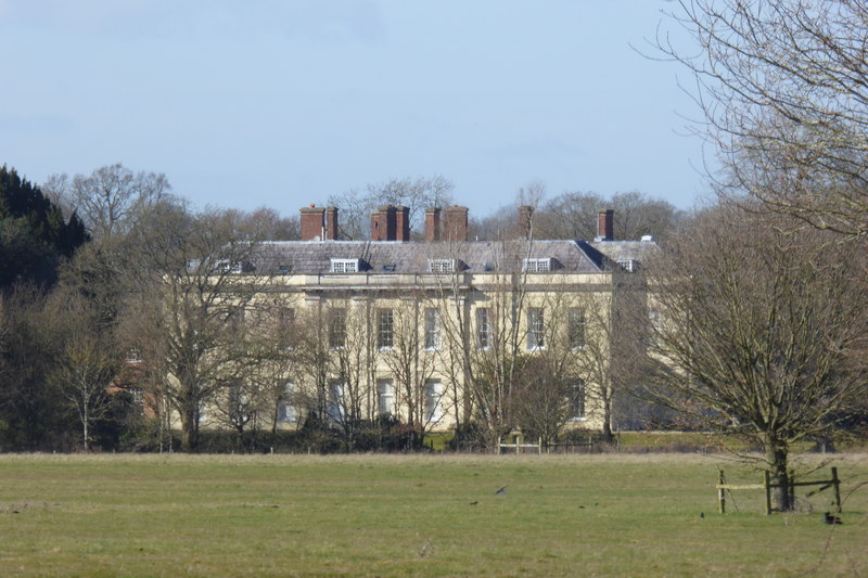
Swallowfield Park
Swallowfield Park is a Grade II* listed stately home and estate in the English county of Berkshire. The house is near the village of Swallowfield, some...
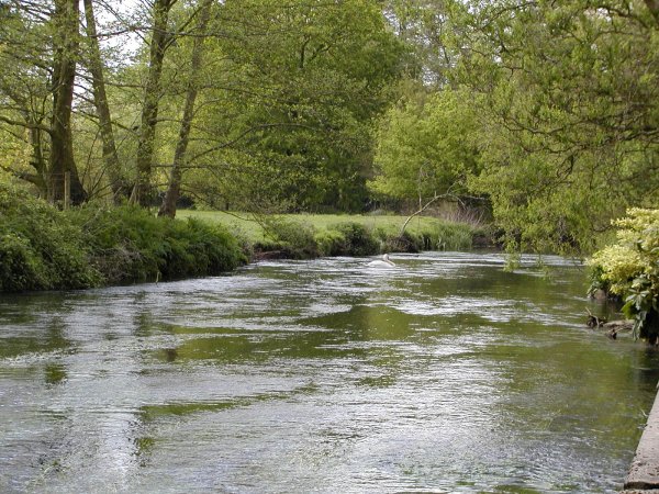
River Blackwater (River Loddon)
The River Blackwater is a tributary of the Loddon in England and sub-tributary of the Thames. It rises at two springs in Rowhill Nature Reserve between...

Swallowfield Meadow
Swallowfield Meadow is a 0.7-hectare (1.7-acre) Local Nature Reserve in Swallowfield, south of Reading in Berkshire. It is owned and managed by Swallowfield...

Swallowfield
Swallowfield is a village and civil parish in Berkshire, England, about 5 miles (8 km) south of Reading, and 1 mile (1.6 km) north of the county boundary...
Nearby Amenities
Located within 500m of 51.386708,-0.94288293Have you been to Great Wood?
Leave your review of Great Wood below (or comments, questions and feedback).