Kilnclose Pond
Lake, Pool, Pond, Freshwater Marsh in Berkshire
England
Kilnclose Pond
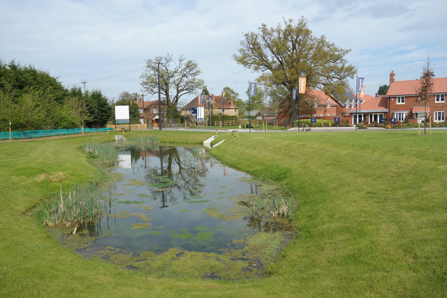
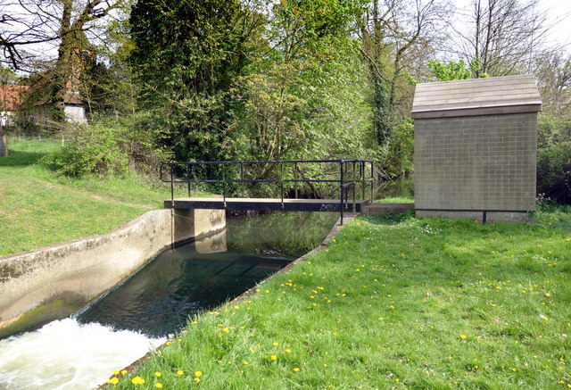
Kilnclose Pond is a small freshwater pond located in Berkshire, England. Situated in a serene and picturesque setting, it is a popular destination for nature enthusiasts and locals seeking tranquility and relaxation.
Spanning approximately 1 acre, Kilnclose Pond is surrounded by lush greenery and tall trees, creating a peaceful and scenic atmosphere. The pond is fed by natural springs and rainfall, ensuring a constant supply of freshwater throughout the year. Its crystal-clear waters are home to a variety of aquatic plants, including lily pads and water lilies, which add to the pond's beauty.
The diverse wildlife found in and around Kilnclose Pond is one of its main attractions. Visitors may catch a glimpse of water birds such as ducks, swans, and herons, gracefully gliding across the water or nesting in the surrounding vegetation. The pond is also a habitat for various fish species, including carp and roach, making it a popular spot for fishing enthusiasts.
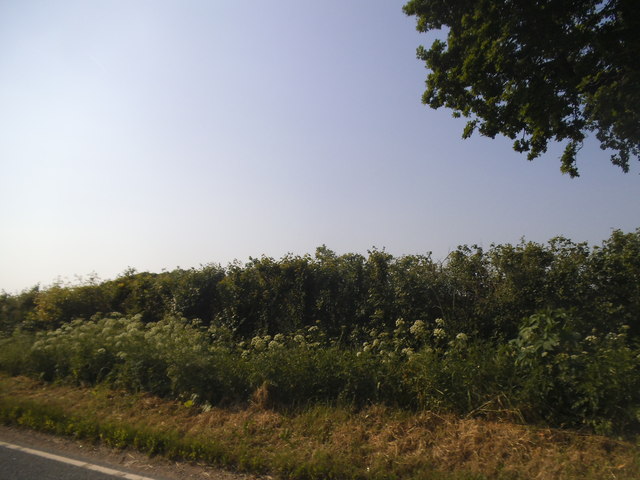
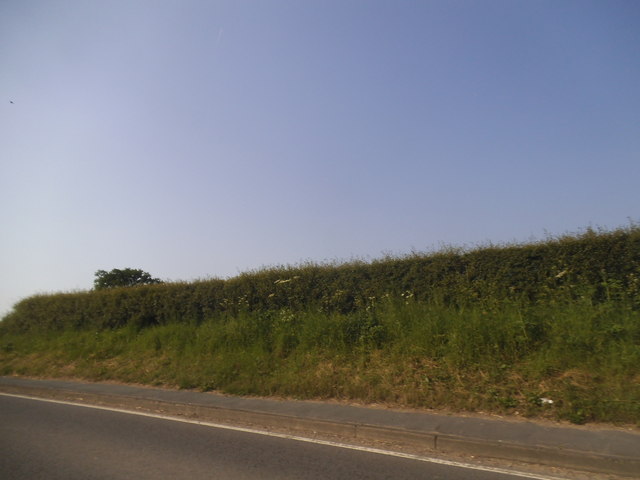
Surrounding the pond is a small marshland, which offers a unique habitat for wetland plants and animals. The marshland is characterized by its waterlogged soil and is home to reeds, bullrushes, and other marsh plants. It provides an important breeding ground for amphibians and insects, attracting dragonflies and frogs.
Kilnclose Pond is accessible to the public and has a small walking trail that encircles the pond, allowing visitors to fully appreciate the natural beauty of the area. The tranquil ambiance and rich biodiversity make Kilnclose Pond a haven for nature lovers and a delightful spot for anyone seeking a peaceful retreat in Berkshire.
If you have any feedback on the listing, please let us know in the comments section below.
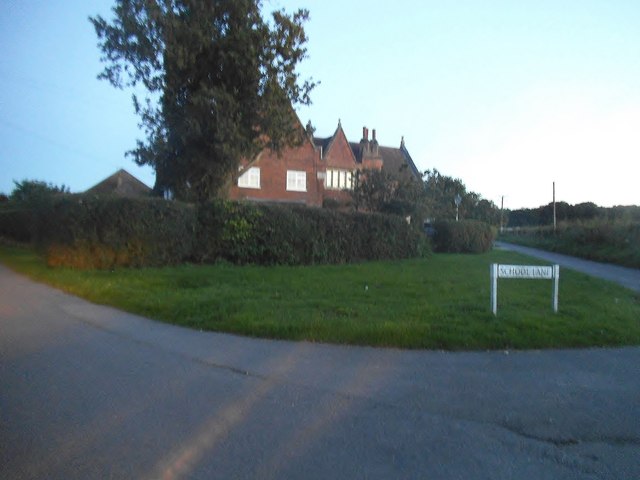
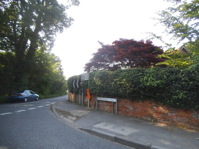
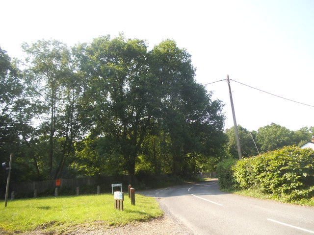
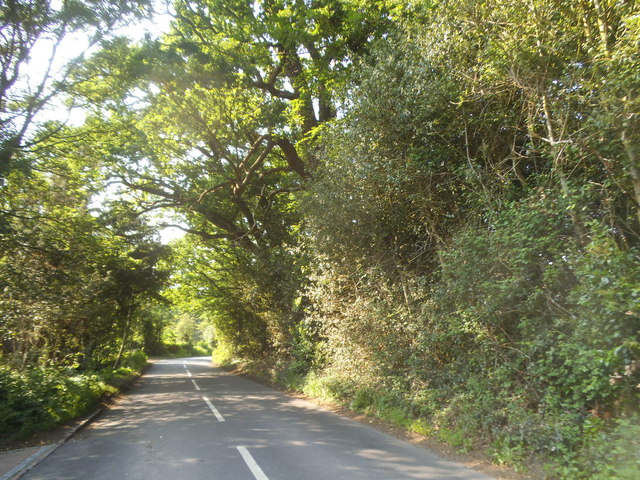
Kilnclose Pond Images
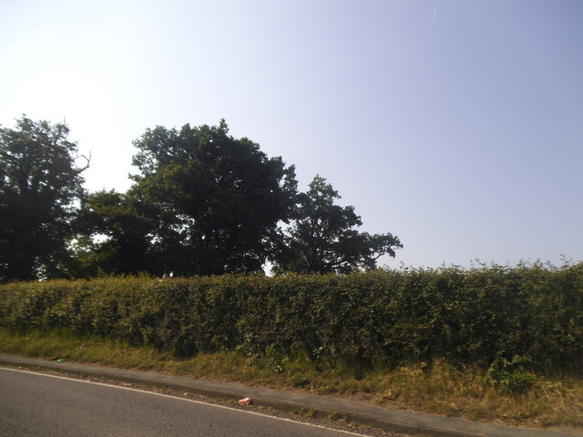
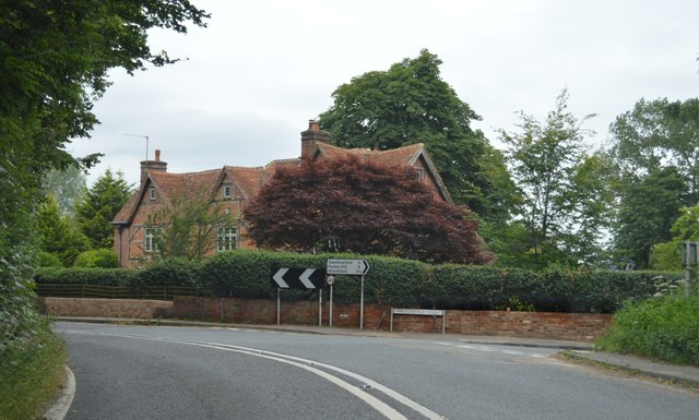
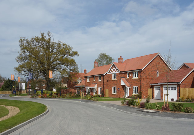
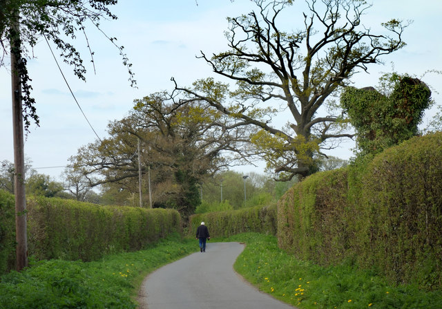
Images are sourced within 2km of 51.382403/-0.94413167 or Grid Reference SU7365. Thanks to Geograph Open Source API. All images are credited.

Kilnclose Pond is located at Grid Ref: SU7365 (Lat: 51.382403, Lng: -0.94413167)
Unitary Authority: Wokingham
Police Authority: Thames Valley
What 3 Words
///spun.torn.faster. Near Swallowfield, Berkshire
Nearby Locations
Related Wikis
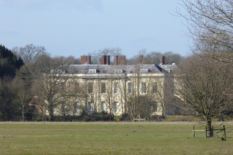
Swallowfield Park
Swallowfield Park is a Grade II* listed stately home and estate in the English county of Berkshire. The house is near the village of Swallowfield, some...
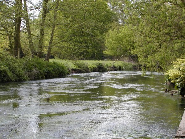
River Blackwater (River Loddon)
The River Blackwater is a tributary of the Loddon in England and sub-tributary of the Thames. It rises at two springs in Rowhill Nature Reserve between...

Swallowfield Meadow
Swallowfield Meadow is a 0.7-hectare (1.7-acre) Local Nature Reserve in Swallowfield, south of Reading in Berkshire. It is owned and managed by Swallowfield...

Swallowfield
Swallowfield is a village and civil parish in Berkshire, England, about 5 miles (8 km) south of Reading, and 1 mile (1.6 km) north of the county boundary...
Nearby Amenities
Located within 500m of 51.382403,-0.94413167Have you been to Kilnclose Pond?
Leave your review of Kilnclose Pond below (or comments, questions and feedback).