Appledon's Copse

Wood, Forest in Oxfordshire South Oxfordshire

England

Appledon's Copse

Direction Sign – Signpost on the B481, Sonning Common Located on the southwest side of the crossroads of the B481 Peppard Road and Bird in Hand Lane, opposite The Bird in Hand public house in Sonning Common parish. 4 arms and annulus finial. See also <a title="https://www.geograph.org.uk/photo/4070130" href="https://www.geograph.org.uk/photo/4070130">Link</a> and <a title="https://www.geograph.org.uk/photo/4070122" href="https://www.geograph.org.uk/photo/4070122">Link</a>.

Milestone Society National ID: OX_SU7179
Direction Sign – Signpost on the B481, Sonning Common Credit: John V Nicholls

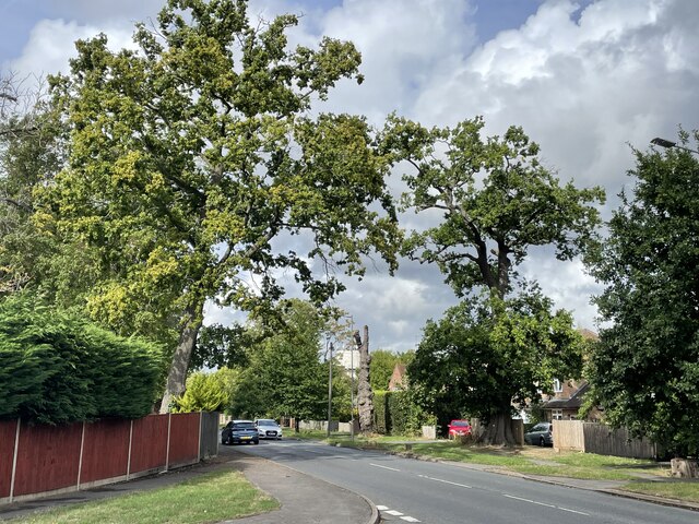
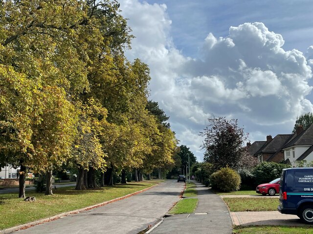
Appledon's Copse is a picturesque woodland located in Oxfordshire, England. Covering an area of approximately 100 acres, this ancient forest is known for its diverse range of flora and fauna, making it a popular destination for nature enthusiasts and hikers alike.

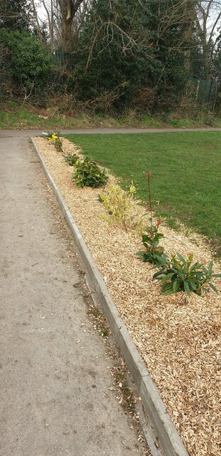
The copse is primarily composed of broadleaf trees, including oak, beech, and ash, which create a dense canopy that filters sunlight and creates a serene atmosphere. The forest floor is carpeted with an array of wildflowers and ferns, adding to the overall beauty of the landscape.

Walking through Appledon's Copse, visitors can expect to encounter a variety of wildlife. Squirrels and rabbits are a common sight, while birdwatchers can spot numerous species, such as woodpeckers, robins, and thrushes. The copse is also home to several small mammals, including foxes and badgers, which can sometimes be glimpsed in the early morning or at dusk.

Trails and footpaths wind their way through the copse, providing opportunities for leisurely strolls or more challenging hikes. Along these paths, visitors can enjoy the tranquil ambiance and take in the stunning views of the surrounding countryside.

Appledon's Copse is managed by a local conservation organization, ensuring the preservation of its natural beauty and protecting its delicate ecosystem. The copse is open to the public year-round, and there is no admission fee, making it an accessible destination for individuals and families seeking a peaceful retreat in nature.

Overall, Appledon's Copse is a cherished woodland in Oxfordshire, offering a chance to connect with nature and escape the hustle and bustle of everyday life.

If you have any feedback on the listing, please let us know in the comments section below.

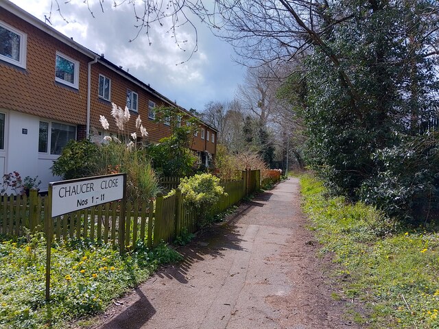
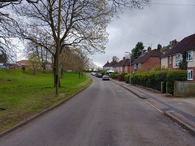
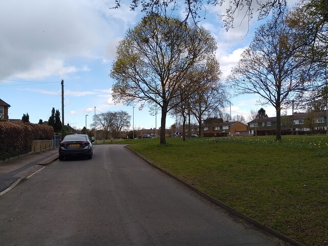
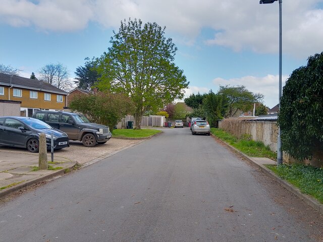
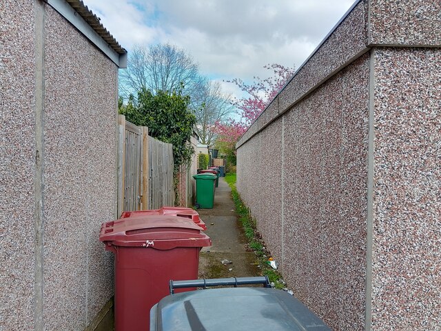
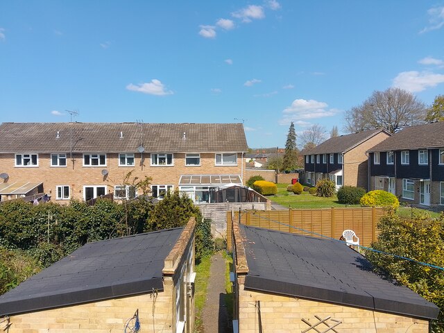
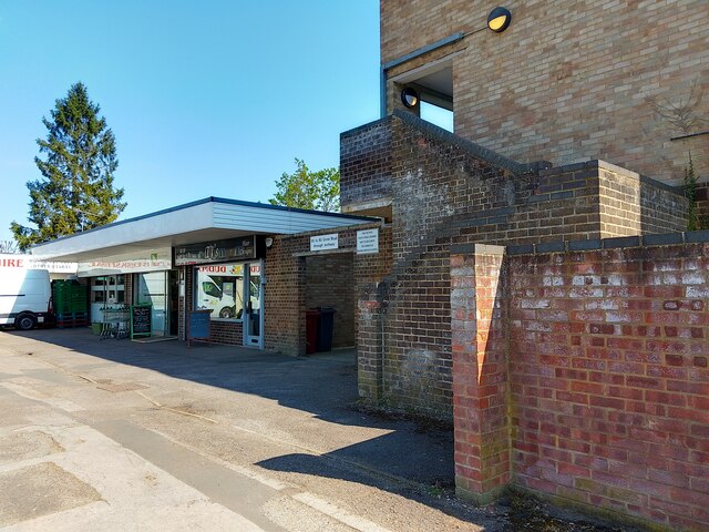
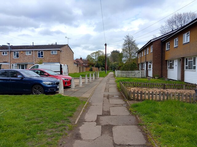
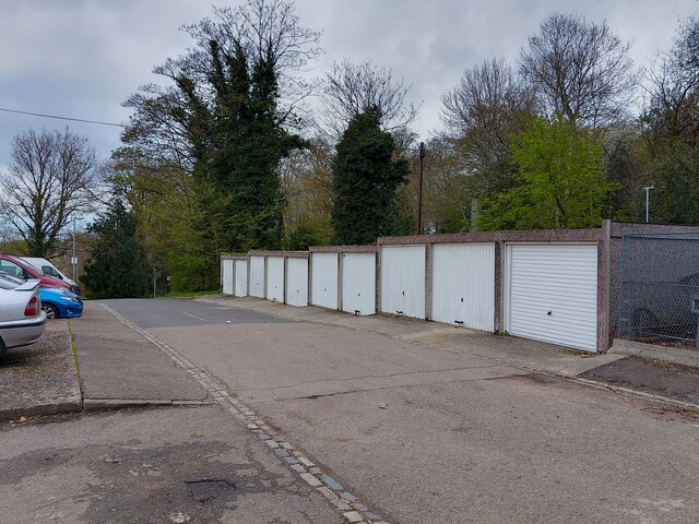
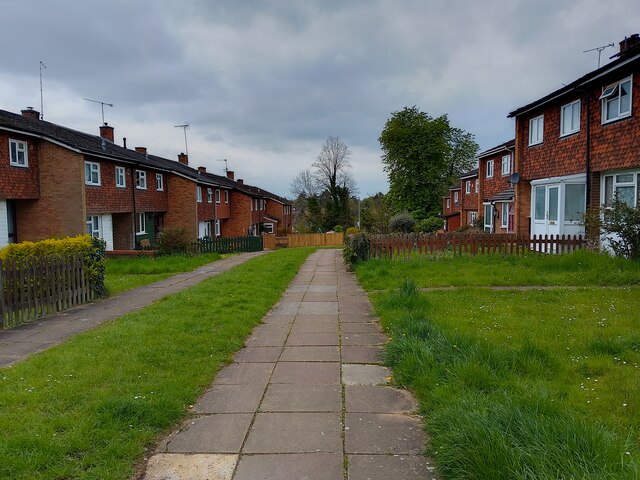
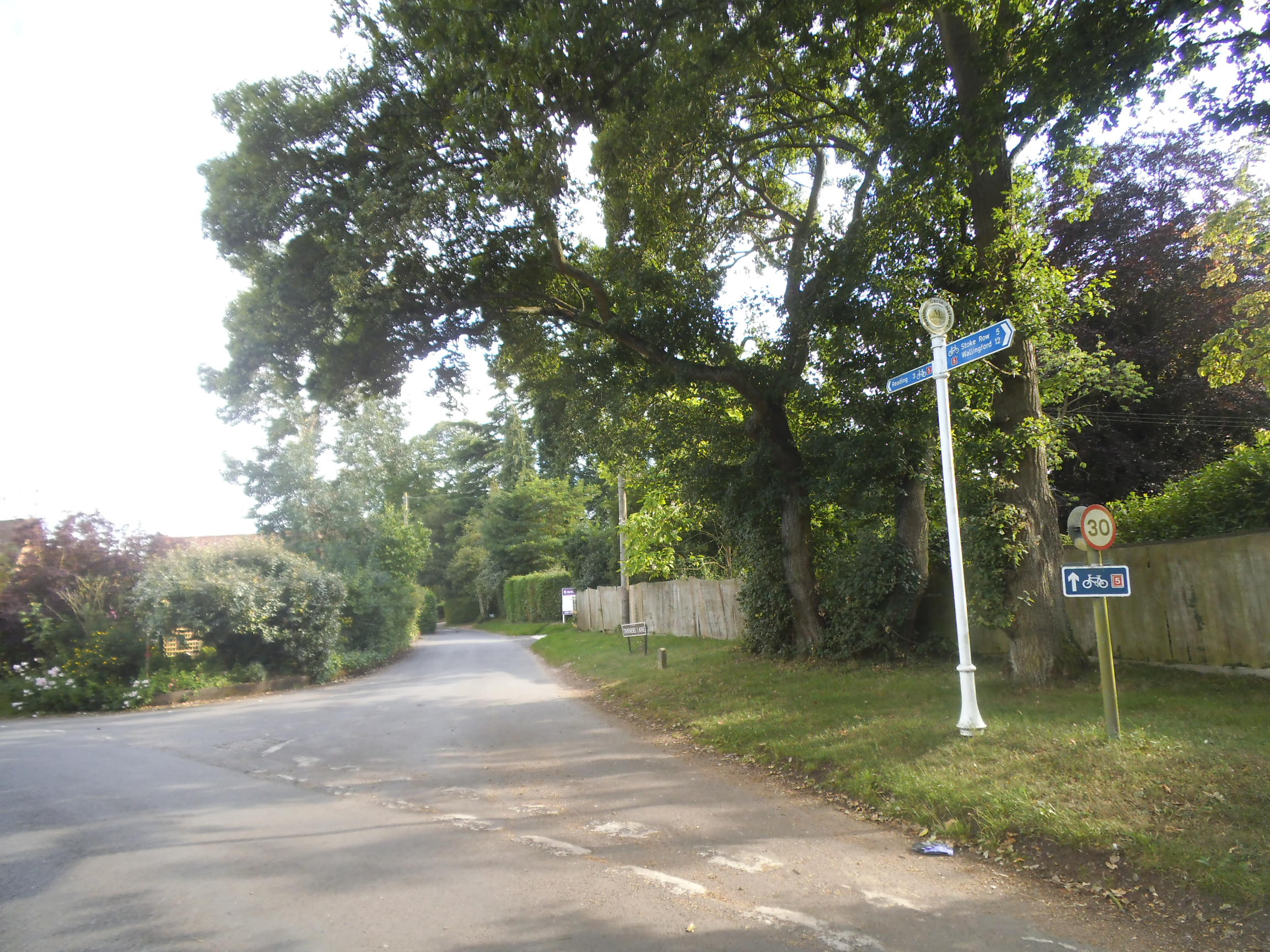
Appledon's Copse Images

Images are sourced within 2km of 51.494518/-0.98323187 or Grid Reference SU7077. Thanks to Geograph Open Source API. All images are credited.

Direction Sign – Signpost on the B481, Sonning Common Located on the southwest side of the crossroads of the B481 Peppard Road and Bird in Hand Lane, opposite The Bird in Hand public house in Sonning Common parish. 4 arms and annulus finial. See also <a title="https://www.geograph.org.uk/photo/4070130" href="https://www.geograph.org.uk/photo/4070130">Link</a> and <a title="https://www.geograph.org.uk/photo/4070122" href="https://www.geograph.org.uk/photo/4070122">Link</a>.

Milestone Society National ID: OX_SU7179
Direction Sign – Signpost on the B481, Sonning Common
Located on the southwest side of the crossroads of the B481 Peppard Road and Bird in Hand Lane, opposite The Bird in Hand public house in Sonning Common parish. 4 arms and annulus finial. See also Link and Link. Milestone Society National ID: OX_SU7179
Farmland, Kidmore End
Driveway to Reading Abbey Rugby Club
Rugby pitches, Reading Abbey Rugby Club
Oak trees on Peppard Road, Emmer Green Looking north from the entrance to Rosehill Park.
Oak trees on Peppard Road, Emmer Green
Looking north from the entrance to Rosehill Park.
Trees lining Peppard Road, Emmer Green Looking south along the access road from Rosehill Park.
Trees lining Peppard Road, Emmer Green
Looking south along the access road from Rosehill Park.
New hedge on Scott Close A newly planted hedge in a woodchip bed with new bullnose edging along the edge of the path on Scott Close.
New hedge on Scott Close
A newly planted hedge in a woodchip bed with new bullnose edging along the edge of the path on Scott Close.
Misspelt void cover A temporary void cover over a drain in need of repair on Scott Close in Emmer Green. It reads "READING BOROUGH COUNCIL HIGWAYS DEPT 1".
Misspelt void cover
A temporary void cover over a drain in need of repair on Scott Close in Emmer Green. It reads "READING BOROUGH COUNCIL HIGWAYS DEPT 1".
Chaucer Close A pedestrianised part of Chaucer Close, a 60s housing estate in Emmer Green.
Chaucer Close
A pedestrianised part of Chaucer Close, a 60s housing estate in Emmer Green.
Buckingham Drive A cul-de-sac section of Buckingham Drive, the main road through Emmer Green in Caversham.
Buckingham Drive
A cul-de-sac section of Buckingham Drive, the main road through Emmer Green in Caversham.
Emmer Green Looking along the cul-de-sac section of Buckingham Drive at the large verge beside the road and houses beyond in Emmer Green.
Emmer Green
Looking along the cul-de-sac section of Buckingham Drive at the large verge beside the road and houses beyond in Emmer Green.
Bellingham Walk Bellingham Walk in Emmer Green in Caversham. This is the 'road' of Bellingham Walk for parking, with the 'walk' being where the front doors of the houses are.
Bellingham Walk
Bellingham Walk in Emmer Green in Caversham. This is the 'road' of Bellingham Walk for parking, with the 'walk' being where the front doors of the houses are.
Bellingham Walk alleyway The alleyway between the back gardens (left, with prefab concrete sheds) and road of Bellingham Walk (right, with prefab concrete garages).
Bellingham Walk alleyway
The alleyway between the back gardens (left, with prefab concrete sheds) and road of Bellingham Walk (right, with prefab concrete garages).
Langford Close, Emmer Green Looking from a block of flats on Buckingham Drive at houses on Langford Close in Emmer Green. Most of the suburb was built at the same time, so the house styles are pretty consistent.
Langford Close, Emmer Green
Looking from a block of flats on Buckingham Drive at houses on Langford Close in Emmer Green. Most of the suburb was built at the same time, so the house styles are pretty consistent.
65 to 83 Grove Road entrance The entrance to 65 to 83 Grove Road in Reading, through an archway and up a set of stairs. The block of flats is next to a small row of shops.
65 to 83 Grove Road entrance
The entrance to 65 to 83 Grove Road in Reading, through an archway and up a set of stairs. The block of flats is next to a small row of shops.
Bellingham Walk, Emmer Green Bellingham Walk in Emmer Green is a 'walk' with houses. The houses on the right are on Bellingham Walk, on the left is Grove Road. The vehicular access to Bellingham Walk is behind the houses <a href="https://www.geograph.org.uk/photo/7459484">SU7176 : Bellingham Walk</a>.
Bellingham Walk, Emmer Green
Bellingham Walk in Emmer Green is a 'walk' with houses. The houses on the right are on Bellingham Walk, on the left is Grove Road. The vehicular access to Bellingham Walk is behind the houses SU7176 : Bellingham Walk.
Garages on Grove Hill A row of garages on Grove Hill. There is parking to the left for houses on Grove Hill.
Garages on Grove Hill
A row of garages on Grove Hill. There is parking to the left for houses on Grove Hill.
30-72 Grove Hill 30-50 and 52-72 Grove Hill are two rows of terraced houses at the end of Grove Hill, built in the typical 1970s style of the area.
30-72 Grove Hill
30-50 and 52-72 Grove Hill are two rows of terraced houses at the end of Grove Hill, built in the typical 1970s style of the area.
Show me another place!

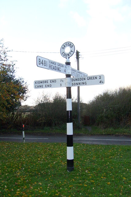
Appledon's Copse is located at Grid Ref: SU7077 (Lat: 51.494518, Lng: -0.98323187)

Administrative County: Oxfordshire

District: South Oxfordshire

Police Authority: Thames Valley

What 3 Words

///body.vivid.limes. Near Sonning Common, Oxfordshire

Nearby Locations

Appledon's Copse

Related Wikis

Chalkhouse Green

Chalkhouse Green is a village in Oxfordshire, England. The village is approximately 3 miles (4.8 km) north of Reading, at an average elevation of 83 metres...

Kidmore House

Kidmore House is a Grade II* listed stately home in the village of Kidmore End, in Oxfordshire, England.It was built in 1680 and is described by Historic...

Tokers Green

Tokers Green is a hamlet in South Oxfordshire, England, about 4 miles (6.4 km) north of Reading, Berkshire. Its village neighbours are Chazey Heath and...

1947 Thames flood

The 1947 Thames flood was the most severe flood of the River Thames in the 20th century, affecting much of the Thames Valley as well as elsewhere in England...

Chazey Heath

Chazey Heath is a hamlet in Oxfordshire, England, about 3 miles (4.8 km) north of Reading, Berkshire. It is situated on the A4074 road, between Caversham...

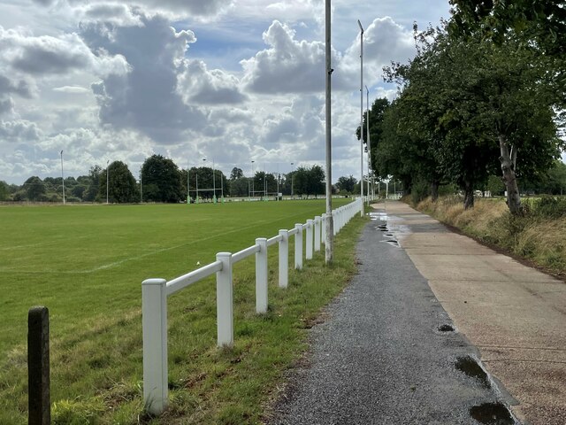
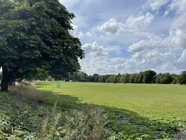
Reading Abbey R.F.C.

Reading Abbey R.F.C is an English rugby union club. Although the club is named after, and historically connected with, the Berkshire town of Reading, it...

Highdown School

Highdown School and Sixth Form Centre is an academy in Emmer Green on the outskirts of Reading, Berkshire, England. It has a capacity for approximately...

Emmer Green (Hanover) Chalk Mine

The Emmer Green (Hanover) Chalk Mine is an extensive abandoned subterranean chalk mine at Emmer Green, north of Reading in Berkshire, located just north...

Nearby Amenities

Located within 500m of 51.494518,-0.98323187
Post Box
Collection Times: Mo-Fr 16:00; Sa 09:00
Operator: Royal Mail
Post Box Mounting: wooden_post
Post Box Type: lamp
Ref: RG4 466
Royal Cypher: EIIR
Royal Cypher Wikidata: Q33102113
Lat/Long: 51.4972089/-0.9795581
Chalkhouse Green
Place: hamlet
Lat/Long: 51.4963792/-0.980037
Chalkhouse Green La
Naptan AtcoCode: 340000178CNR
Naptan Bearing: S
Naptan BusStopType: CUS
Naptan CommonName: Chalkhouse Green La
Naptan Indicator: Corner
Naptan Landmark: Chalkhouse Green La
Naptan NaptanCode: oxfgmajd
Naptan Street: Tanners Lane
Naptan Verified: no
Source: naptan_import
Lat/Long: 51.497412/-0.9811418
Bus Stop
Chalkhouse Green La
Naptan AtcoCode: 340000178T
Naptan Bearing: N
Naptan BusStopType: CUS
Naptan CommonName: Chalkhouse Green La
Naptan Indicator: Opposite
Naptan Landmark: Chalkhouse Green La
Naptan NaptanCode: oxfampdt
Naptan Street: Tanners Lane
Naptan Verified: no
Source: naptan_import
Lat/Long: 51.4974222/-0.9812856
Barrier: stile
Foot: yes
Material: wood
Stile: stepover
Lat/Long: 51.4927099/-0.9822468
Telephone
Booth: K6
Covered: booth
Operator: BT
Phone: +44 1189 723875
Lat/Long: 51.4972047/-0.9795936
Information: guidepost
Ref: NCN5
Lat/Long: 51.4974092/-0.9812172
Barrier: stile
Foot: yes
Lat/Long: 51.4934848/-0.9840922
Direction: 200
Generator Method: photovoltaic
Generator Output Electricity: yes
Generator Solar Modules: 16
Generator Source: solar
Generator Type: solar_photovoltaic_panel
Location: roof
Power: generator
Lat/Long: 51.491832/-0.9820333
Direction: 175
Fixme: survey for panel count
Generator Method: photovoltaic
Generator Output Electricity: yes
Generator Solar Modules: 9
Generator Source: solar
Generator Type: solar_photovoltaic_panel
Location: roof
Power: generator
Lat/Long: 51.4959944/-0.9811338
Direction: 170
Generator Method: photovoltaic
Generator Output Electricity: yes
Generator Solar Modules: 16
Generator Source: solar
Generator Type: solar_photovoltaic_panel
Location: roof
Power: generator
Lat/Long: 51.4973062/-0.9818652
The data included in this document is from www.openstreetmap.org. The data is made available under ODbL.

Have you been to Appledon's Copse?

Leave your review of Appledon's Copse below (or comments, questions and feedback).