Musgrave's Covert
Wood, Forest in Oxfordshire South Oxfordshire
England
Musgrave's Covert

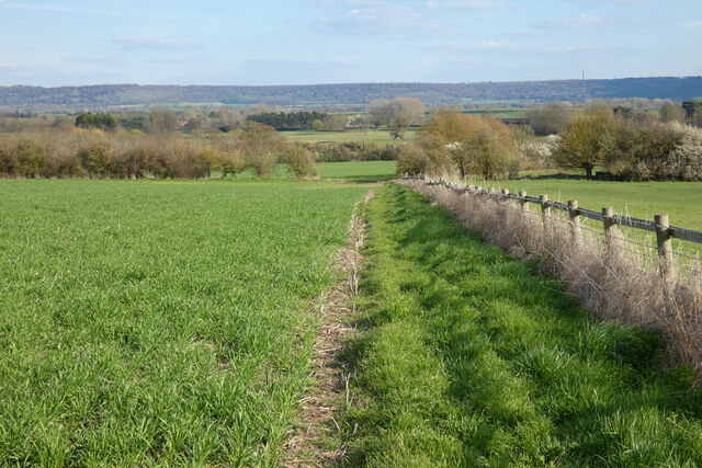
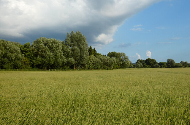
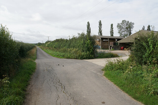
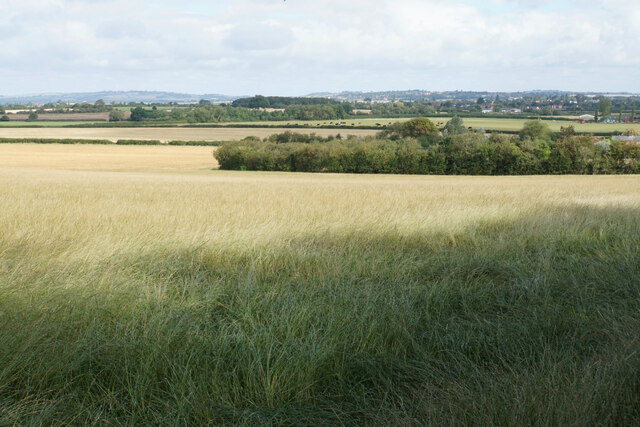
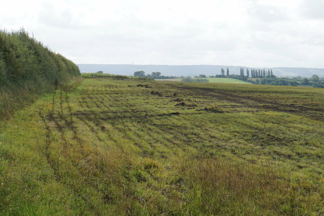
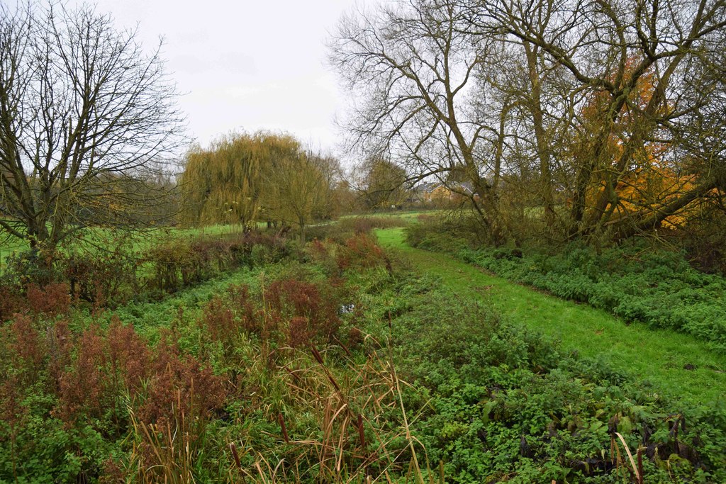
Musgrave's Covert is a picturesque woodland located in Oxfordshire, England. Situated within the larger area known as the Oxfordshire Wood, this forested area spans approximately 300 acres and is a haven for nature enthusiasts and outdoor adventurers.
The woodland is named after the Musgrave family, who owned the land in the 19th century. It is characterized by a diverse range of tree species, including oak, beech, and birch trees, creating a vibrant and lush environment throughout the year. The forest floor is covered in a thick carpet of moss and ferns, adding to its enchanting appeal.
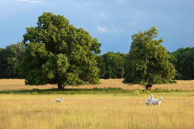
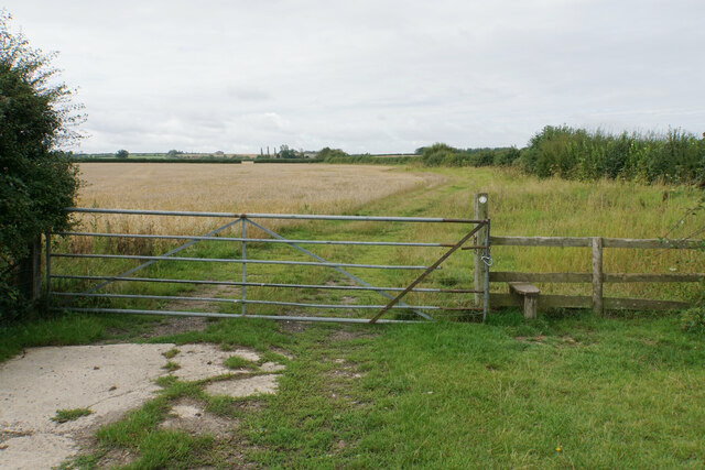
Musgrave's Covert offers a variety of walking trails and paths, allowing visitors to explore the natural beauty of the area. The trails wind through the forest, offering glimpses of wildlife such as deer, squirrels, and various bird species. Nature enthusiasts can also find a diverse range of flora, including bluebells, wildflowers, and mushrooms, making it a perfect spot for botanical enthusiasts and photographers.
The woodland is a designated Site of Special Scientific Interest (SSSI) due to its ecological significance and conservation value. It serves as a habitat for many rare and protected species, including the lesser horseshoe bat and the dormouse.
Musgrave's Covert is a popular destination for outdoor activities such as hiking, birdwatching, and nature photography. It offers a serene and tranquil atmosphere, providing an escape from the hustle and bustle of urban life. Whether one seeks solace in nature or enjoys exploring wildlife, Musgrave's Covert is a must-visit destination for nature lovers in Oxfordshire.
If you have any feedback on the listing, please let us know in the comments section below.
Musgrave's Covert Images
Images are sourced within 2km of 51.721439/-0.97802072 or Grid Reference SP7003. Thanks to Geograph Open Source API. All images are credited.


Musgrave's Covert is located at Grid Ref: SP7003 (Lat: 51.721439, Lng: -0.97802072)
Administrative County: Oxfordshire
District: South Oxfordshire
Police Authority: Thames Valley
What 3 Words
///secrets.sneezing.massive. Near Thame, Oxfordshire
Nearby Locations
Related Wikis

Thame Abbey
Thame Abbey was a Cistercian abbey at Thame in the English county of Oxfordshire. Thame Abbey was founded in 1137 by Alexander, Bishop of Lincoln. It was...

Thame railway station
Thame railway station was a station on the Wycombe Railway serving the town of Thame in Oxfordshire. It was opened in 1862 as the terminus of an extension...
Moreton, South Oxfordshire
Moreton is a hamlet 1 mile (1.6 km) southwest of Thame in Oxfordshire, England. == History == Moreton has been in existence as long as Thame, being mentioned...

The Swan, Tetsworth
The Swan is an historic former Grade II* Elizabethan coaching inn in Tetsworth built about 1600 CE with 17th-century and 18th-century additions.It is now...
Sydenham, Oxfordshire
Sydenham is a village and civil parish about 3 miles (5 km) southeast of Thame in Oxfordshire. To the south the parish is bounded by the ancient Lower...

Tetsworth
Tetsworth is a village and civil parish about 3 miles (5 km) south of Thame in Oxfordshire. Its Parish Council is made up of six elected Councillors. The...
Cuttle Brook
Cuttle Brook is a 13-hectare (32-acre) Local Nature Reserve in Thame in Oxfordshire. It is owned and managed by Thame Town Council.There are seven entrances...

Thame Town Hall
Thame Town Hall is a municipal building in the High Street, Thame, Oxfordshire, England. The town hall, which is the meeting place of Thame Town Council...
Have you been to Musgrave's Covert?
Leave your review of Musgrave's Covert below (or comments, questions and feedback).