Osierbed Wood

Wood, Forest in Oxfordshire South Oxfordshire

England

Osierbed Wood

Farmland, Thame A public bridleway, in practice, follows the edge of an arable field to the north of Moreton Gap.
Farmland, Thame Credit: Andrew Smith

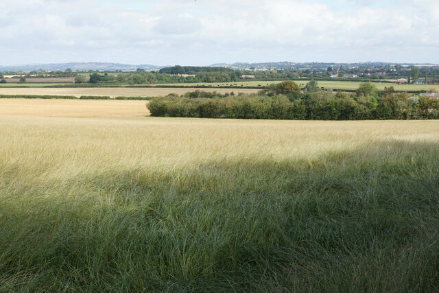
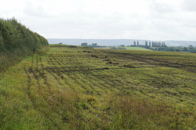
Located in Oxfordshire, Osierbed Wood is a picturesque woodland area that offers a serene and tranquil environment for nature lovers and outdoor enthusiasts. Covering an area of approximately [insert size], this forest is a haven for wildlife and boasts a rich biodiversity, making it an ideal destination for those seeking to explore and appreciate nature.

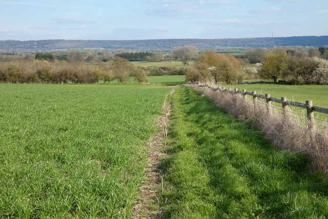
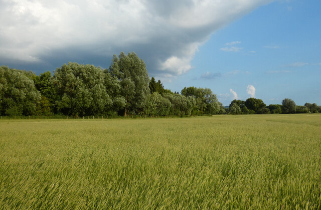
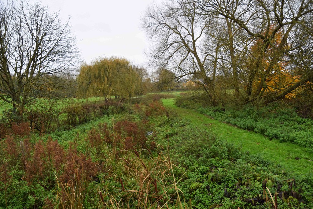
Osierbed Wood is primarily composed of deciduous trees, with a variety of species such as oak, beech, and birch dominating the landscape. The forest floor is adorned with a lush carpet of ferns, wildflowers, and moss, creating a vibrant and colorful setting throughout the year.

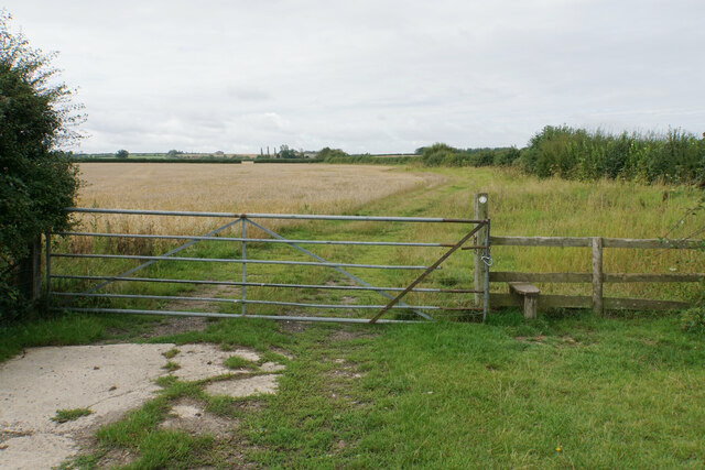
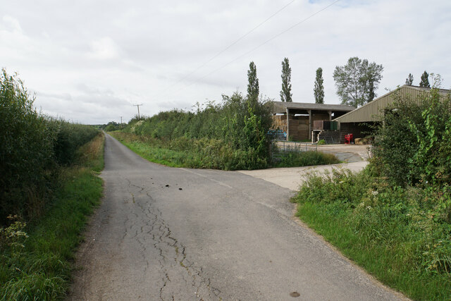
The wood is crisscrossed by a network of well-maintained trails and footpaths, allowing visitors to easily navigate through the forest and discover its hidden treasures. These paths offer stunning views of the surrounding countryside and provide ample opportunities for walking, jogging, and cycling.

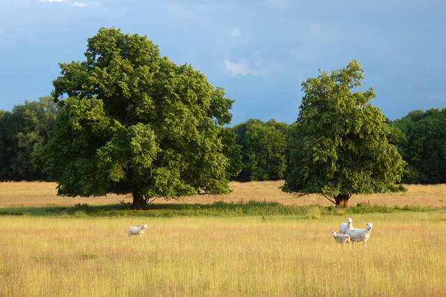
Wildlife enthusiasts will be delighted by the abundance of fauna that calls Osierbed Wood home. The forest is home to a diverse range of bird species, including woodpeckers, owls, and songbirds. Deer, rabbits, and squirrels are also frequently spotted, adding to the enchanting atmosphere of the woodland.

Osierbed Wood is a popular destination for families, nature photographers, and artists alike, as it provides a serene and inspiring backdrop for various recreational activities. Visitors can enjoy picnicking amidst the tall trees, capturing breathtaking photographs, or simply immersing themselves in the peaceful ambiance of the forest.

Overall, Osierbed Wood offers a captivating natural retreat, providing a much-needed escape from the hustle and bustle of everyday life. Its beauty and tranquility make it a must-visit destination for anyone seeking to reconnect with nature.

If you have any feedback on the listing, please let us know in the comments section below.

Osierbed Wood Images

Images are sourced within 2km of 51.718906/-0.97823707 or Grid Reference SP7002. Thanks to Geograph Open Source API. All images are credited.

Farmland, Thame A public bridleway, in practice, follows the edge of an arable field to the north of Moreton Gap.
Farmland, Thame
A public bridleway, in practice, follows the edge of an arable field to the north of Moreton Gap.
Farmland, Tetsworth A footpath descending towards Copcourt from the B4012.
Farmland, Tetsworth
A footpath descending towards Copcourt from the B4012.
Pasture, Sydenham Fairly recently grazed land to the west of Sydenham Grange.
Pasture, Sydenham
Fairly recently grazed land to the west of Sydenham Grange.
Farmland, Sydenham Beans and the Chiltern scarp are seen from the  bridleway to Sydenham Grange.
Farmland, Sydenham
Beans and the Chiltern scarp are seen from the bridleway to Sydenham Grange.
Parkland, Sydenham Ewes and lambs in New Park are viewed from the footpath between Thame and Sydenham.
Parkland, Sydenham
Ewes and lambs in New Park are viewed from the footpath between Thame and Sydenham.
Farmland, Sydenham Wheat and a threatening sky to the east of Sydenham Grange.
Farmland, Sydenham
Wheat and a threatening sky to the east of Sydenham Grange.
Attington Toll House Perhaps past owners of the Attington estate excised tolls as a revenue-raising measure; perhaps they simply wished to discourage passage across the estate.  The style of the building, with its Gothick windows, suggests a date of circa 1800.
Attington Toll House
Perhaps past owners of the Attington estate excised tolls as a revenue-raising measure; perhaps they simply wished to discourage passage across the estate. The style of the building, with its Gothick windows, suggests a date of circa 1800.
Temporary lights on Thame Park Road, Tetsworth
Old Toll House, Tetsworth Toll House in the parish of Tetsworth, Attington Toll House, Thame Road (B4012), OX9 7DA.

Grade II listed.
List Entry Number: 1059661 <span class="nowrap"><a title="https://historicengland.org.uk/listing/the-list/list-entry/1059661" rel="nofollow ugc noopener" href="https://historicengland.org.uk/listing/the-list/list-entry/1059661">Link</a><img style="margin-left:2px;" alt="External link" title="External link - shift click to open in new window" src="https://s1.geograph.org.uk/img/external.png" width="10" height="10"/></span>

Surveyed

Milestone Society National ID: OX.TET
Old Toll House, Tetsworth
Toll House in the parish of Tetsworth, Attington Toll House, Thame Road (B4012), OX9 7DA. Grade II listed. List Entry Number: 1059661 LinkExternal link Surveyed Milestone Society National ID: OX.TET
Gate into the next field The footpath crosses a succession of fields near Meadowbrook Farm but avoids the farm itself.
Gate into the next field
The footpath crosses a succession of fields near Meadowbrook Farm but avoids the farm itself.
Gap to the next field This is all arable land so it doesn't need more of a barrier.
Gap to the next field
This is all arable land so it doesn't need more of a barrier.
Path to the next field The path has to cross a drainage channel and a short area of scrub.
Path to the next field
The path has to cross a drainage channel and a short area of scrub.
Cattle near Moreton A relaxed group. Part of the village can be seen in the background.
Cattle near Moreton
A relaxed group. Part of the village can be seen in the background.
Farm buildings by Judds Lane You will find the name of the lane spelt as Judds orJudd's.
Farm buildings by Judds Lane
You will find the name of the lane spelt as Judds orJudd's.
Cattle near Moretonfield Farm To the right you can see the clubhouse of Oxfordshire Golf Club.
Cattle near Moretonfield Farm
To the right you can see the clubhouse of Oxfordshire Golf Club.
The northern side of Horsenden Hill A small hill which has a surprising impact. It is mostly covered by arable farmland.  Hill Farm can be seen further away.
The northern side of Horsenden Hill
A small hill which has a surprising impact. It is mostly covered by arable farmland. Hill Farm can be seen further away.
Farmland to the north of Horsenden Hill There is a lot of flat farmland surrounding the course of the River Thame.
Farmland to the north of Horsenden Hill
There is a lot of flat farmland surrounding the course of the River Thame.
The top of Horsenden Hill There is a trig point somewhere in the hedge on the left but it is not accessible. The field here appears to been aerated. The Chilterns are in the background.
The top of Horsenden Hill
There is a trig point somewhere in the hedge on the left but it is not accessible. The field here appears to been aerated. The Chilterns are in the background.
Show me another place!

Osierbed Wood is located at Grid Ref: SP7002 (Lat: 51.718906, Lng: -0.97823707)

Administrative County: Oxfordshire

District: South Oxfordshire

Police Authority: Thames Valley

What 3 Words

///hairpin.truckload.laws. Near Thame, Oxfordshire

Related Wikis

Thame Abbey

Thame Abbey was a Cistercian abbey at Thame in the English county of Oxfordshire. Thame Abbey was founded in 1137 by Alexander, Bishop of Lincoln. It was...

The Swan, Tetsworth

The Swan is an historic former Grade II* Elizabethan coaching inn in Tetsworth built about 1600 CE with 17th-century and 18th-century additions.It is now...

Tetsworth

Tetsworth is a village and civil parish about 3 miles (5 km) south of Thame in Oxfordshire. Its Parish Council is made up of six elected Councillors. The...

Sydenham, Oxfordshire

Sydenham is a village and civil parish about 3 miles (5 km) southeast of Thame in Oxfordshire. To the south the parish is bounded by the ancient Lower...

Moreton, South Oxfordshire

Moreton is a hamlet 1 mile (1.6 km) southwest of Thame in Oxfordshire, England. == History == Moreton has been in existence as long as Thame, being mentioned...

Thame railway station

Thame railway station was a station on the Wycombe Railway serving the town of Thame in Oxfordshire. It was opened in 1862 as the terminus of an extension...

Wheatfield, Oxfordshire

Wheatfield is a civil parish and deserted medieval village about 4 miles (6.4 km) south of Thame in Oxfordshire. Wheatfield's toponym is derived from...

Cuttle Brook

Cuttle Brook is a 13-hectare (32-acre) Local Nature Reserve in Thame in Oxfordshire. It is owned and managed by Thame Town Council.There are seven entrances...

Related Videos

Non-Contact Label Applicator: Blow-On (LA-BO)

Non-contact blow-on applicators are great for a number of labelling situations; 1) when the product travels faster than can be ...

1 YEAR PROGRESS VIDEO - LARRY

One year with Larry, what a year it's been! Only 3 events done due to focusing on Troy and my injury but very pleased with how he ...

Have you been to Osierbed Wood?

Leave your review of Osierbed Wood below (or comments, questions and feedback).