Beard's Copse
Wood, Forest in Hampshire Hart
England
Beard's Copse

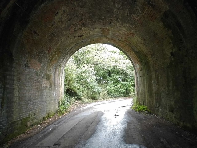
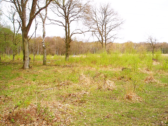
Beard's Copse is a picturesque woodland located in Hampshire, England. Situated near the village of Brockenhurst, it covers an area of approximately 40 hectares. The copse is part of the larger New Forest National Park, renowned for its natural beauty and diverse wildlife.
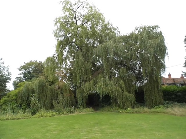
The woodland consists primarily of an ancient oak forest, with trees dating back several centuries. These majestic oaks create a dense canopy that filters sunlight and provides a habitat for various flora and fauna. The forest floor is adorned with a rich carpet of bluebells, wild garlic, and other native wildflowers during the spring months.
Beard's Copse is a haven for wildlife enthusiasts, with a wide range of animal species calling it home. Birdwatchers can spot numerous species, including woodpeckers, nuthatches, and tawny owls. The forest also provides shelter for deer, foxes, badgers, and other mammals.
The copse is intersected by several footpaths, allowing visitors to explore its beauty at their leisure. These trails lead visitors through the heart of the woodland, providing opportunities for peaceful walks and nature appreciation. The forest is particularly popular during the autumn months when the leaves of the oak trees turn vibrant shades of gold and red.
Managed by the Forestry Commission, Beard's Copse is a well-maintained woodland that offers a tranquil escape from the hustle and bustle of everyday life. It provides a wonderful opportunity to immerse oneself in nature and experience the unique charm of Hampshire's woodlands.
If you have any feedback on the listing, please let us know in the comments section below.
Beard's Copse Images
Images are sourced within 2km of 51.289524/-0.98783649 or Grid Reference SU7054. Thanks to Geograph Open Source API. All images are credited.


Beard's Copse is located at Grid Ref: SU7054 (Lat: 51.289524, Lng: -0.98783649)
Administrative County: Hampshire
District: Hart
Police Authority: Hampshire
What 3 Words
///pollution.punch.parsnips. Near Hook, Hampshire
Nearby Locations
Related Wikis

Newnham, Hampshire
Newnham is a village and parish in Hampshire, England. It is centred 4 miles (6.4 km) east of Basingstoke, and 1 mile (1.6 km) west of Hook. At the 2011...

Hook Common
Hook Common is a hamlet in the civil parish of Hook in the Hart district of Hampshire, England. It lies approximately 1 mile (1.6 km) south-west from Hook...
Rotherwick
Rotherwick is a village and civil parish in the Hart district of Hampshire, England. == Extent and layout == It is briefly limited to the east and the...

Nately Scures
Nately Scures is a small village and former civil parish, now in the parish of Newnham, in the Basingstoke and Deane district of Hampshire, England. Its...
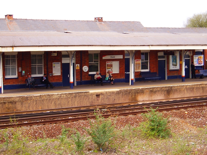
Hook railway station
Hook railway station serves the village of Hook and surrounding villages in Hampshire, southern England. There are two platforms serving the outer pair...
Hook, Hart
Hook is a large village and civil parish in the Hart District of northern Hampshire, England. It is situated 6.2 miles (10 km) east of Basingstoke and...

St. Swithun's, Nately Scures
St Swithun's Church is the smallest ancient Church of England parish church in the English county of Hampshire. Newnham and Nately Scures are part of the...
Hook Common and Bartley Heath
Hook Common and Bartley Heath is a 129.4-hectare (320-acre) biological Site of Special Scientific Interest on the southern outskirts of Hook in Hampshire...
Nearby Amenities
Located within 500m of 51.289524,-0.98783649Have you been to Beard's Copse?
Leave your review of Beard's Copse below (or comments, questions and feedback).