North Eastern Plantation

Wood, Forest in Yorkshire Scarborough

England

North Eastern Plantation

Danby Rigg Looking NW on Danby Rigg.
Danby Rigg Credit: T Eyre

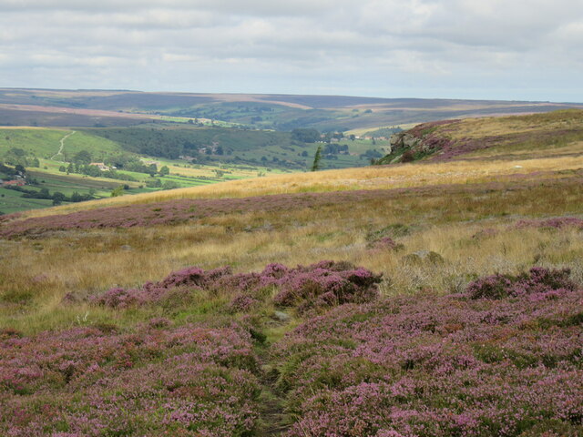
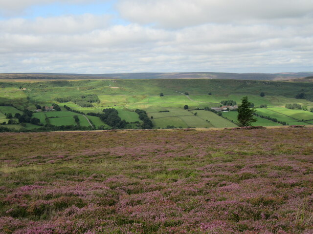
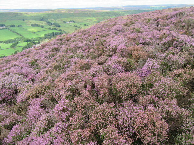
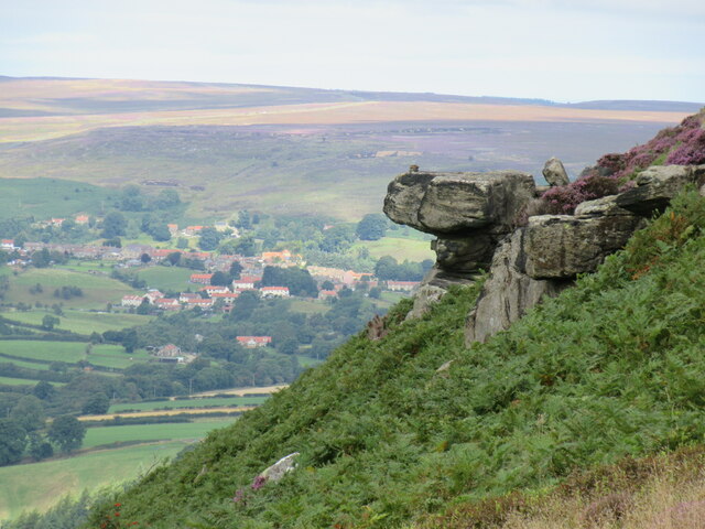
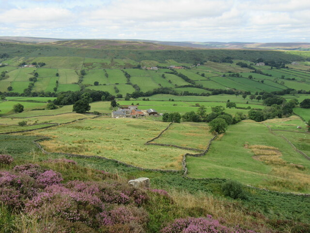
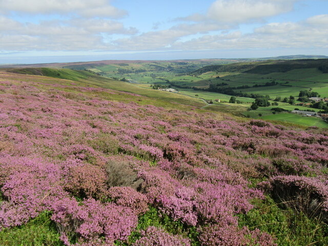
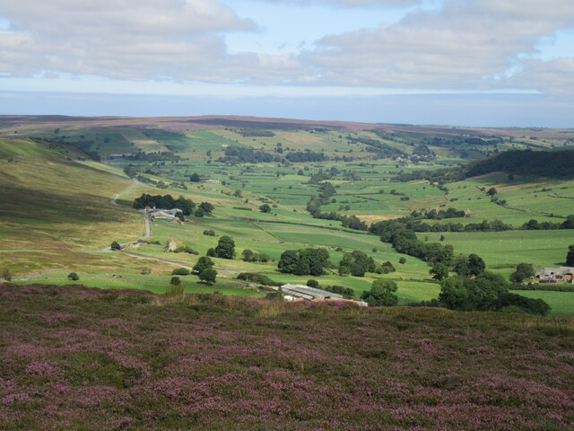
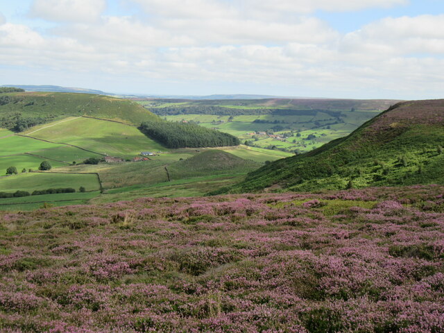
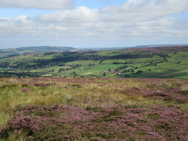
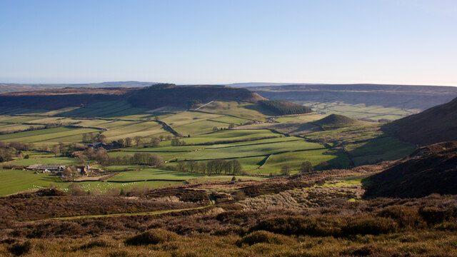
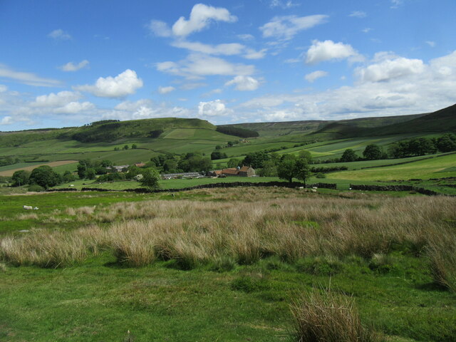
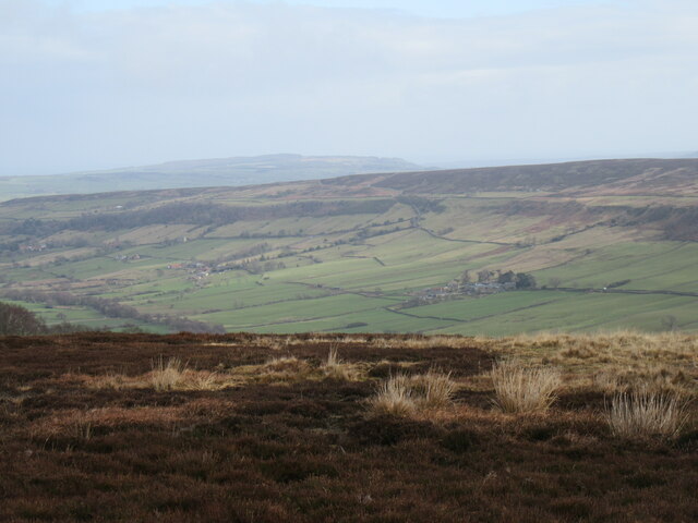
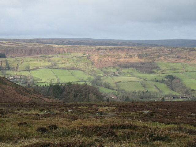
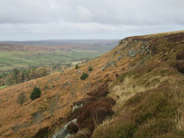
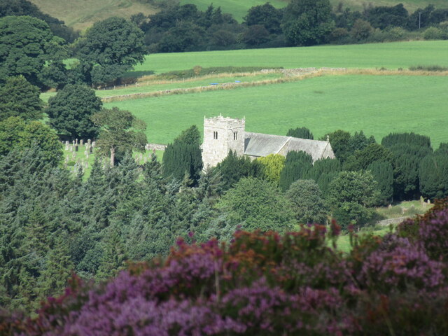
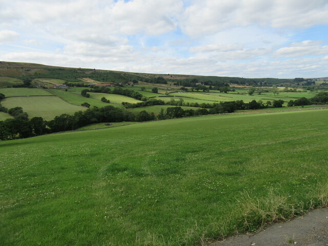
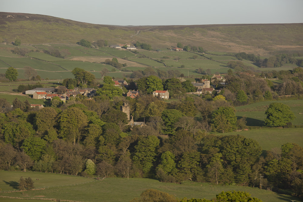
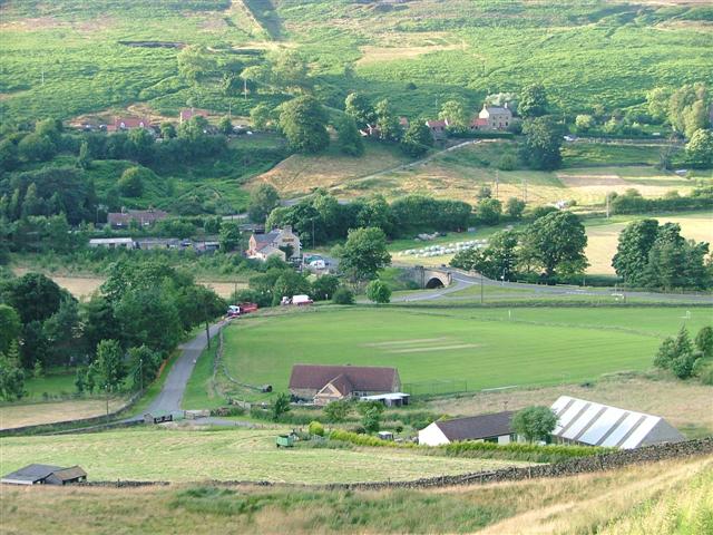
North Eastern Plantation, located in Yorkshire, is a picturesque woodland area known for its dense forest and abundant plant life. Covering a significant portion of the region, this plantation is a haven for nature enthusiasts and those seeking tranquility amidst a thriving ecosystem.

The woodland area is characterized by its diverse range of tree species, including oak, beech, and pine. These trees create a dense canopy, allowing only dappled sunlight to filter through, creating a unique ambiance within the plantation. The forest floor is carpeted with a variety of wildflowers, ferns, and mosses, adding to the overall beauty and biodiversity of the area.

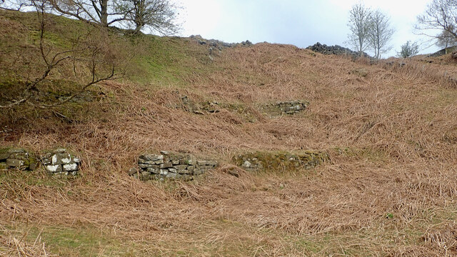
North Eastern Plantation is also home to numerous wildlife species. Deer, rabbits, and squirrels can be spotted roaming freely, while birdwatchers can observe a variety of avian species, such as woodpeckers, owls, and songbirds. The plantation provides a natural habitat for these animals, fostering a delicate balance between flora and fauna.

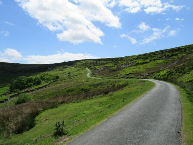
The plantation offers a range of recreational activities for visitors. There are several well-maintained walking trails that wind through the woodland, allowing visitors to explore the area at their own pace. Picnic areas and benches are strategically placed along the trails, providing opportunities for relaxation and enjoyment of the surroundings.

It is important to note that North Eastern Plantation is a protected area, and visitors are encouraged to respect the environment and follow any guidelines or regulations in place to ensure the preservation of the woodland and its inhabitants.

If you have any feedback on the listing, please let us know in the comments section below.

North Eastern Plantation Images

Images are sourced within 2km of 54.429561/-0.92374965 or Grid Reference NZ6904. Thanks to Geograph Open Source API. All images are credited.

Danby Rigg Looking NW on Danby Rigg.
Danby Rigg
Looking NW on Danby Rigg.
Danby Rigg view Looking west from Danby Rigg.
Danby Rigg view
Looking west from Danby Rigg.
Heather on Danby Rigg Bell Heather on Danby Rigg.
Heather on Danby Rigg
Bell Heather on Danby Rigg.
Baker's Nab Hanging above Danby Dale, Castleton in the distance.
Baker's Nab
Hanging above Danby Dale, Castleton in the distance.
Above Botton Grove Looking down towards Botton Grove from Danby Rigg.
Above Botton Grove
Looking down towards Botton Grove from Danby Rigg.
View of Little Fryup Dale Looking NE into Little Fryup Dale from Danby Rigg.
View of Little Fryup Dale
Looking NE into Little Fryup Dale from Danby Rigg.
Little Fryup Dale Looking north into Little Fryup Dale.
Little Fryup Dale
Looking north into Little Fryup Dale.
Looking Towards Fairy Cross Plain Looking east towards Fairy Cross Plain and Round Hill from Danby Rigg.
Looking Towards Fairy Cross Plain
Looking east towards Fairy Cross Plain and Round Hill from Danby Rigg.
Great Fryup Dale Looking NE into Great Fryup Dale from the road that goes over Danby High Moor.
Great Fryup Dale
Looking NE into Great Fryup Dale from the road that goes over Danby High Moor.
Raven Lodge retaining walls
Little Fryup Dale The Rev. J.C. Atkinson, writing in the late 19th-century, had a fascination for Little Fryup Dale, or rather the folklore associated with the area around the little knoll on the right, Fairy Cross Plain.

It might seem odd that a man of the cloth should be so preoccupied with fairies, elves and hobs but belief in the supernatural would still have been within living memory of many of his parishioners. In 1866 he wrote:

There was a singularly fine fairy-ring, at Fairy-cross Plain, in this parish — a place which will be mentioned again before long, in connection with the Elfin race — round which children, in the time of my parish clerk’s childhood, (and he is not fifty yet,) would run any number of times short of nine, himself among the number. Nothing would induce them to run the ninth, for if they did it would ‘raise the fairies,’ who were held to have great power to harm, and a willingness too, if treated neglectingly or despitefully.

Atkinson compares similar lore from Northumberland, Scotland and across the North Sea, from Sweden and Denmark.

Fairy Cross Plain now is just two or three cottages. In Atkinson’s day, one of these was a public house called the “Ship Inn”. Job Bonas lived in another. He was a farmer, blacksmith and horse breeder, and used to drive to Helmsley by pony and trap to shoe the oxen on Lord Feversham’s estate.

For sources and references see my blog <span class="nowrap"><a title="http://www.fhithich.uk/?p=27356" rel="nofollow ugc noopener" href="http://www.fhithich.uk/?p=27356">Link</a><img style="margin-left:2px;" alt="External link" title="External link - shift click to open in new window" src="https://s1.geograph.org.uk/img/external.png" width="10" height="10"/></span>
Little Fryup Dale
The Rev. J.C. Atkinson, writing in the late 19th-century, had a fascination for Little Fryup Dale, or rather the folklore associated with the area around the little knoll on the right, Fairy Cross Plain. It might seem odd that a man of the cloth should be so preoccupied with fairies, elves and hobs but belief in the supernatural would still have been within living memory of many of his parishioners. In 1866 he wrote: There was a singularly fine fairy-ring, at Fairy-cross Plain, in this parish — a place which will be mentioned again before long, in connection with the Elfin race — round which children, in the time of my parish clerk’s childhood, (and he is not fifty yet,) would run any number of times short of nine, himself among the number. Nothing would induce them to run the ninth, for if they did it would ‘raise the fairies,’ who were held to have great power to harm, and a willingness too, if treated neglectingly or despitefully. Atkinson compares similar lore from Northumberland, Scotland and across the North Sea, from Sweden and Denmark. Fairy Cross Plain now is just two or three cottages. In Atkinson’s day, one of these was a public house called the “Ship Inn”. Job Bonas lived in another. He was a farmer, blacksmith and horse breeder, and used to drive to Helmsley by pony and trap to shoe the oxen on Lord Feversham’s estate. For sources and references see my blog LinkExternal link
New Way The steep hill out of Little Fryup Dale.
New Way
The steep hill out of Little Fryup Dale.
Little Fryup Dale Looking east at the bottom of New Way.
Little Fryup Dale
Looking east at the bottom of New Way.
Great Fryup Dale Looking NE from the road.
Great Fryup Dale
Looking NE from the road.
On Danby Rigg Looking west towards Danby Dale.
On Danby Rigg
Looking west towards Danby Dale.
Danby Rigg The rocky escarpment on the west side of Danby Rigg.
Danby Rigg
The rocky escarpment on the west side of Danby Rigg.
Danby Church from Danby Rigg Zoomed view of Danby Church from Danby Rigg.
Danby Church from Danby Rigg
Zoomed view of Danby Church from Danby Rigg.
Danby Dale Looking NW from Gate Way.
Danby Dale
Looking NW from Gate Way.
Show me another place!

North Eastern Plantation is located at Grid Ref: NZ6904 (Lat: 54.429561, Lng: -0.92374965)

Division: North Riding

Administrative County: North Yorkshire

District: Scarborough

Police Authority: North Yorkshire

What 3 Words

///charts.unzips.loud. Near Danby, North Yorkshire

Related Wikis

Botton, North Yorkshire

Botton is a small village within the North York Moors National Park in North Yorkshire, England which is mainly a Camphill Community for people with learning...

Fryup

Fryup (grid reference NZ720046) is a hamlet in the North York Moors National Park in North Yorkshire, England. It is within the civil parish of Danby,...

Westerdale

Westerdale is a village, civil parish and dale within the Scarborough district of North Yorkshire, England. The Esk Valley Walk runs through part of the...

Ainthorpe

Ainthorpe is a village in the civil parish of Danby and the Scarborough district of the county of North Yorkshire, England. It is situated within the...

Castleton, North Yorkshire

Castleton is a village on the River Esk, part of the civil parish of Danby in the county of North Yorkshire in England. It can be found 7.1 miles (11.5...

Westerdale Preceptory

Westerdale Preceptory was a priory in Westerdale, North Yorkshire, England. The land was donated to the Knights Templar by Guido de Bovingcourt in 1203...

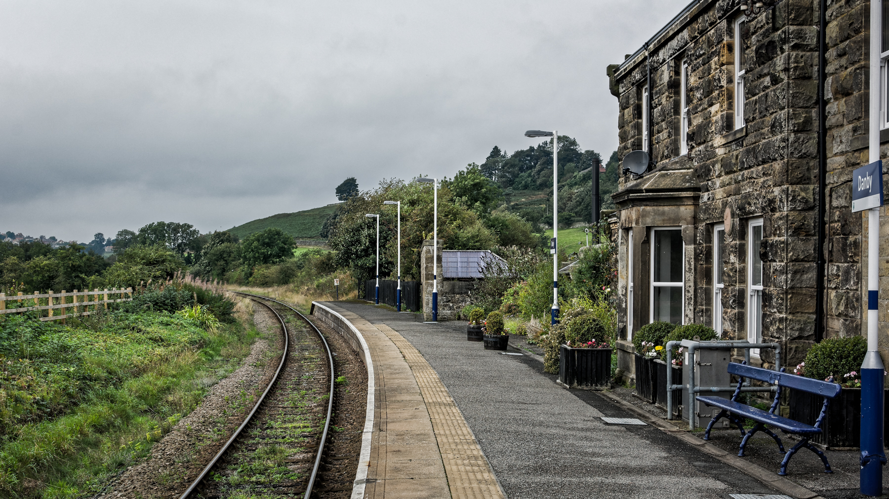
Danby railway station

Danby is a railway station on the Esk Valley Line, which runs between Middlesbrough and Whitby via Nunthorpe. The station, situated 15 miles 9 chains...

Danby, North Yorkshire

Danby is a village and civil parish in the former Scarborough district of North Yorkshire, England. According to the 2011 UK census, Danby parish had a...

Nearby Amenities

Located within 500m of 54.429561,-0.92374965
Traffic Calming: bump
Lat/Long: 54.428615/-0.9291585
Botton
Is In Valley: Danby Dale
Place: village
Source Name: OS_OpenData_StreetView
Wikidata: Q9178188
Lat/Long: 54.4275049/-0.9288366
Danby Botton
Place: hamlet
Source Name: OS_OpenData_StreetView
Lat/Long: 54.4313289/-0.9293166
Addr City: Whitby
Addr Housename: Old Botton Farm
Addr Postcode: YO21 2NJ
Addr Suburb: Botton
Lat/Long: 54.4308999/-0.9260529
Addr City: Whitby
Addr Postcode: YO21 2NJ
Addr Suburb: Botton
Lat/Long: 54.4274487/-0.928629
Toilets
Lat/Long: 54.4282506/-0.9276645
Fixme: Where does the public bridleway go from here
Lat/Long: 54.4338258/-0.9258143
Traffic Calming: bump
Lat/Long: 54.4291888/-0.9298107
Botton Bookshop
Shop: books
Lat/Long: 54.4278211/-0.9280836
Botton Glassworks
Shop: houseware
Lat/Long: 54.4278055/-0.9283038
Shop: gift
Lat/Long: 54.4279706/-0.9281154
Cafe
Coffee Bar
Lat/Long: 54.4280291/-0.9281476
Botton Creamery
Shop: dairy
Lat/Long: 54.4280479/-0.9276205
Ford: yes
Lat/Long: 54.4258312/-0.9254875
Falcon Farm
Place: farm
Lat/Long: 54.4259715/-0.9262781
Botton Farm
Place: farm
Lat/Long: 54.4311409/-0.9263295
Rodger's House
Place: farm
Lat/Long: 54.4323215/-0.9261352
Ford: yes
Lat/Long: 54.426548/-0.9186526
The data included in this document is from www.openstreetmap.org. The data is made available under ODbL.

Have you been to North Eastern Plantation?

Leave your review of North Eastern Plantation below (or comments, questions and feedback).