Hughes' Copse
Wood, Forest in Hampshire East Hampshire
England
Hughes' Copse
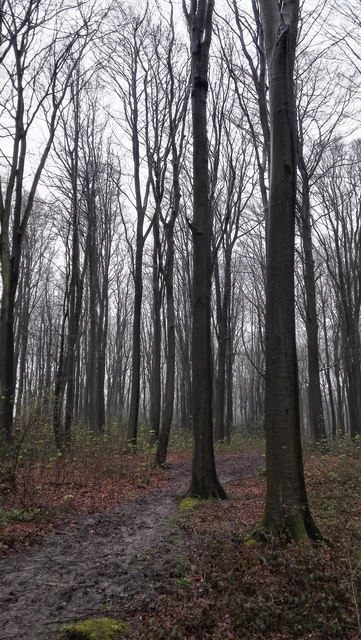
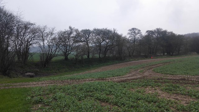
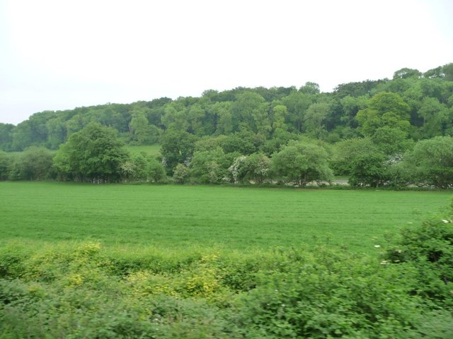
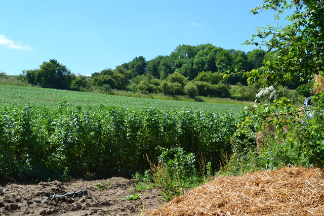
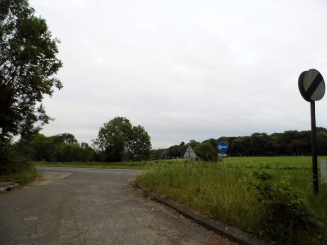
Hughes' Copse is a picturesque woodland located in Hampshire, England. Situated near the village of Burley, it covers an area of approximately 50 acres. The copse is renowned for its natural beauty and tranquil atmosphere, making it a popular destination for nature enthusiasts and hikers.
The woodland consists primarily of mixed deciduous trees, including oak, beech, and birch, which create a diverse and vibrant landscape throughout the seasons. The dense canopy provides shade during the summer months, while the forest floor is carpeted with a variety of wildflowers and ferns.
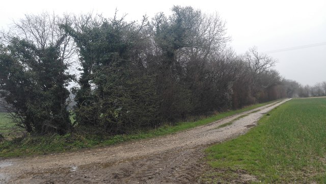
Several well-maintained footpaths wind their way through Hughes' Copse, allowing visitors to explore the area and appreciate its natural wonders. These trails are suitable for all levels of fitness, making it accessible to both casual strollers and more experienced hikers.
The copse is also home to a rich array of wildlife. Birdwatchers can spot various species, including woodpeckers, owls, and thrushes, while small mammals like squirrels and rabbits can often be seen darting among the trees. In spring and summer, the air is filled with the delightful songs of birds, adding to the enchanting ambiance of the woodland.
Hughes' Copse offers a peaceful retreat away from the hustle and bustle of daily life, providing visitors with the opportunity to reconnect with nature. Whether you are seeking a leisurely walk, a spot for a picnic, or simply a moment of tranquility, this Hampshire woodland is sure to captivate and inspire.
If you have any feedback on the listing, please let us know in the comments section below.
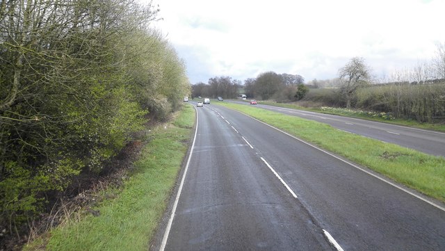
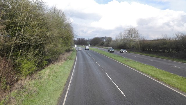
Hughes' Copse Images
Images are sourced within 2km of 51.112092/-1.0070024 or Grid Reference SU6935. Thanks to Geograph Open Source API. All images are credited.


Hughes' Copse is located at Grid Ref: SU6935 (Lat: 51.112092, Lng: -1.0070024)
Administrative County: Hampshire
District: East Hampshire
Police Authority: Hampshire
What 3 Words
///amphibian.available.pyramid. Near Four Marks, Hampshire
Nearby Locations
Related Wikis
Farringdon Halt railway station
Farringdon Halt was an intermediate station on the Meon Valley line which ran from Alton to Fareham, England during the 20th century. A goods yard for...

Farringdon, Hampshire
Farringdon is a village in the East Hampshire district of Hampshire in England. The village is 2.8 miles (4.5 km) south of Alton, on the A32 road, close...

Massey's Folly
Massey's Folly was built by Thomas Hacket Massey who served as rector in Farringdon village in Hampshire for 62 years. The folly took thirty years to build...

Red Hill, Hampshire
Red Hill is one of the highest points in the county of Hampshire, England. It is part of the Hampshire Downs and rises to 221 metres (725 ft) above sea...

Four Marks
Four Marks is a village and civil parish in the East Hampshire district of Hampshire, England. It is 4.4 miles (7.1 km) southwest of Alton, on the A31...

Chawton
Chawton is a village and civil parish in the East Hampshire district of Hampshire, England. The village lies within the South Downs National Park and is...

Jane Austen's House Museum
Jane Austen's House Museum is a small independent museum in the village of Chawton near Alton in Hampshire. It is a writer's house museum occupying the...
Medstead and Four Marks railway station
Medstead and Four Marks railway station is a railway station in the English county of Hampshire, serving the villages of Medstead and Four Marks. At 644...
Nearby Amenities
Located within 500m of 51.112092,-1.0070024Have you been to Hughes' Copse?
Leave your review of Hughes' Copse below (or comments, questions and feedback).