Southfield Copse
Wood, Forest in Hampshire East Hampshire
England
Southfield Copse
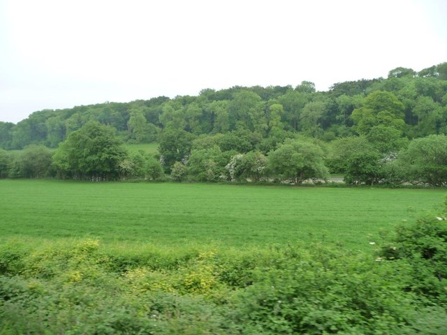
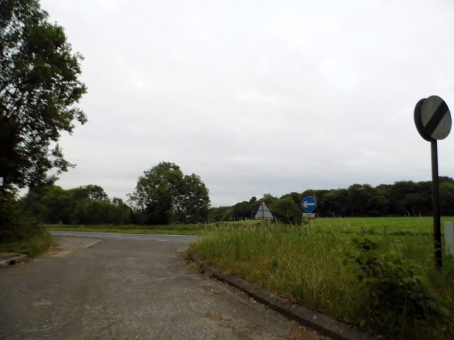
Southfield Copse is a picturesque woodland located in the county of Hampshire, England. Covering an area of approximately 50 acres, it is a popular destination for nature lovers and outdoor enthusiasts. The copse is situated near the town of Fordingbridge, nestled within the beautiful New Forest National Park.
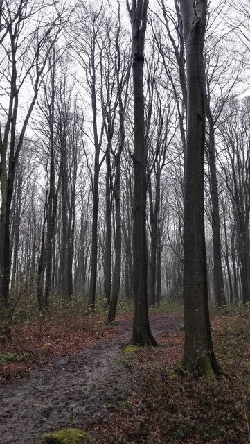
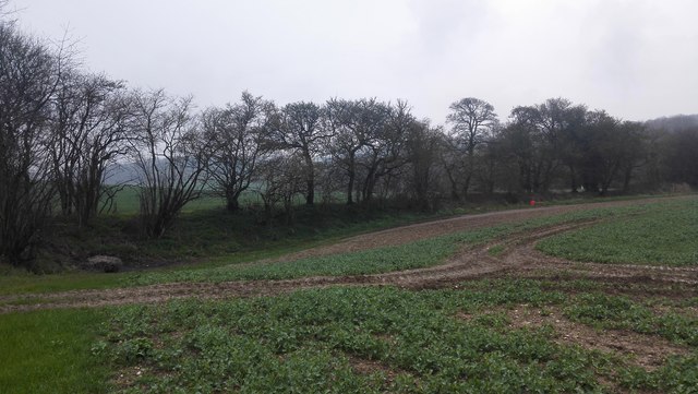
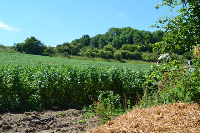
The woodland boasts a diverse range of tree species, including oak, beech, and birch, creating a rich and varied ecosystem. The dense canopy provides a haven for a variety of wildlife, including deer, badgers, and numerous bird species. The copse is particularly renowned for its vibrant display of bluebells in the spring, which creates a stunning carpet of color throughout the woodland.
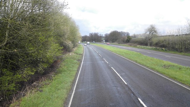
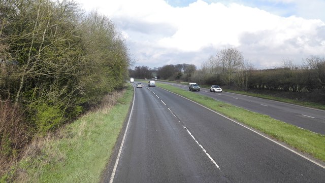
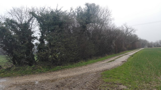
Southfield Copse is intersected by several footpaths and trails, offering visitors the opportunity to explore its natural beauty. These pathways wind their way through the woodland, allowing for leisurely walks and peaceful moments of reflection. The copse also features a small clearing, providing a tranquil spot for picnics or simply enjoying the serenity of the surroundings.
The copse is well-maintained by local authorities, ensuring that it remains an accessible and enjoyable natural space for all. Its proximity to Fordingbridge makes it a popular spot for locals and tourists alike, who come to appreciate its natural beauty and escape the hustle and bustle of everyday life.
In conclusion, Southfield Copse in Hampshire is a charming woodland that offers visitors a chance to immerse themselves in nature. With its diverse flora and fauna, well-maintained trails, and serene atmosphere, it is a true gem within the New Forest National Park.
If you have any feedback on the listing, please let us know in the comments section below.
Southfield Copse Images
Images are sourced within 2km of 51.1144/-1.0067386 or Grid Reference SU6935. Thanks to Geograph Open Source API. All images are credited.


Southfield Copse is located at Grid Ref: SU6935 (Lat: 51.1144, Lng: -1.0067386)
Administrative County: Hampshire
District: East Hampshire
Police Authority: Hampshire
What 3 Words
///thumb.apricot.epidemics. Near Four Marks, Hampshire
Nearby Locations
Related Wikis
Farringdon Halt railway station
Farringdon Halt was an intermediate station on the Meon Valley line which ran from Alton to Fareham, England during the 20th century. A goods yard for...

Farringdon, Hampshire
Farringdon is a village in the East Hampshire district of Hampshire in England. The village is 2.8 miles (4.5 km) south of Alton, on the A32 road, close...

Massey's Folly
Massey's Folly was built by Thomas Hacket Massey who served as rector in Farringdon village in Hampshire for 62 years. The folly took thirty years to build...

Red Hill, Hampshire
Red Hill is one of the highest points in the county of Hampshire, England. It is part of the Hampshire Downs and rises to 221 metres (725 ft) above sea...

Chawton
Chawton is a village and civil parish in the East Hampshire district of Hampshire, England. The village lies within the South Downs National Park and is...

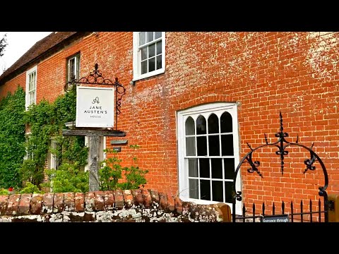
Jane Austen's House Museum
Jane Austen's House Museum is a small independent museum in the village of Chawton near Alton in Hampshire. It is a writer's house museum occupying the...

Four Marks
Four Marks is a village and civil parish in the East Hampshire district of Hampshire, England. It is 4.4 miles (7.1 km) southwest of Alton, on the A31...
Medstead and Four Marks railway station
Medstead and Four Marks railway station is a railway station in the English county of Hampshire, serving the villages of Medstead and Four Marks. At 644...
Related Videos

Following Jane 🏴 4K England Travel Vlog Walking Tour | Chawton House, Salisbury, Steventon
In this video, we explore the final stop of the Jane Austen Society of North America (JASNA) spring tour of England. We explored ...
Visit Jane Austen’s House in England #shortsclip #england #janeausten #literature #british #author
Did you know that you can visit Jane Austen's house in Chawton, England? We came here on a half-day trip from Bath on a ...
Jane Austen's House 🏴 4K England Chawton & Salisbury Travel Vlog Walking Tour
In this video, we explore the final stop of the Jane Austen Society of North America (JASNA) spring tour of England. We explored ...

Jane Austen's House, Chawton Village and Gardens Walk, English Countryside 4K
https://www.buymeacoffee.com/Daveswalks All support is hugely appreciated and it helps me keep the channel going! No talking ...
Nearby Amenities
Located within 500m of 51.1144,-1.0067386Have you been to Southfield Copse?
Leave your review of Southfield Copse below (or comments, questions and feedback).