Ash Holt
Wood, Forest in Nottinghamshire Rushcliffe
England
Ash Holt
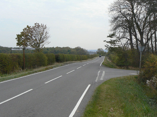
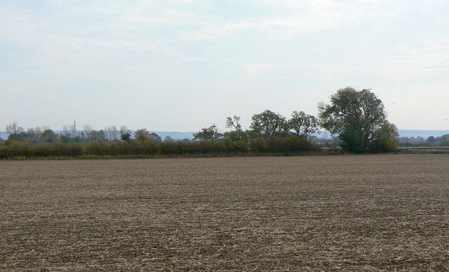
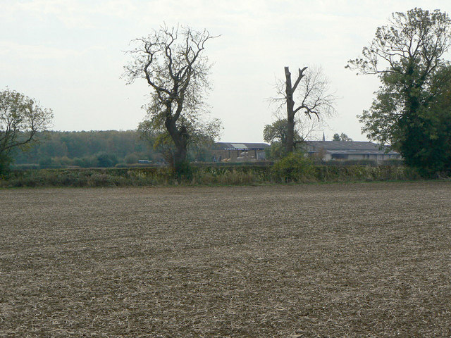
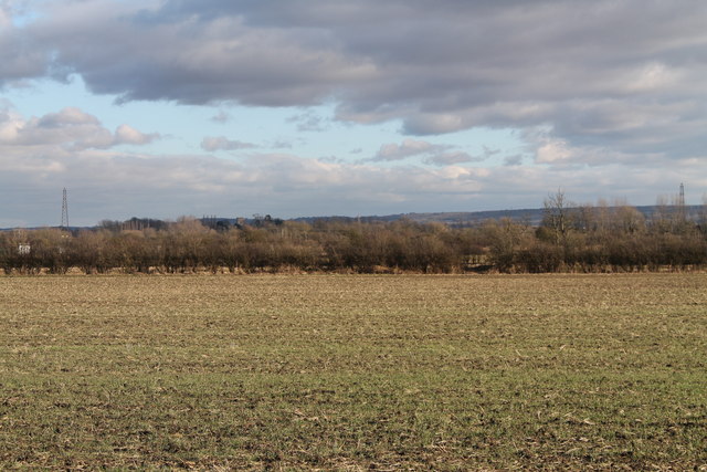
Ash Holt is a small village located in the Nottinghamshire county of England. Situated in the district of Bassetlaw, it lies approximately 4 miles west of the town of Retford. The village is nestled within the beautiful Sherwood Forest, an ancient woodland renowned for its rich history and natural beauty.
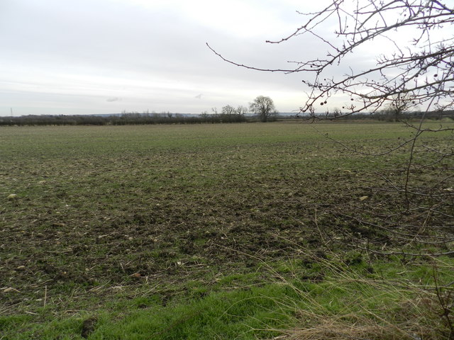
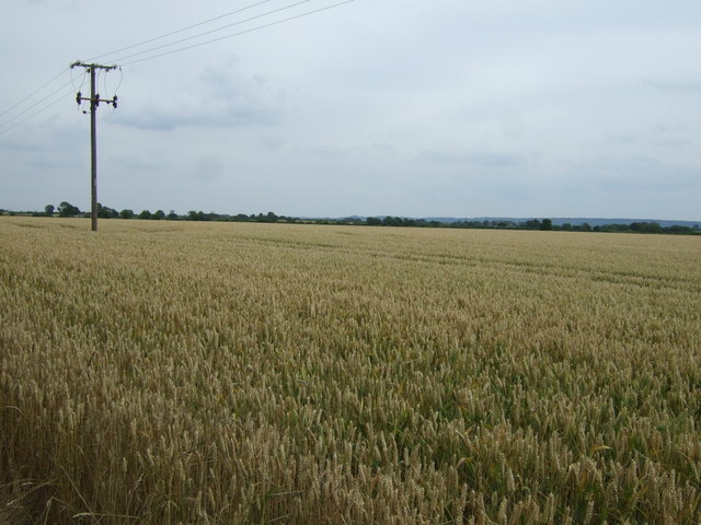
The name "Ash Holt" derives from the Old English word "holt," meaning a small wood or copse. As such, the village is surrounded by dense woodland, predominantly consisting of ash trees, which adds to its picturesque charm. The forest provides a tranquil and idyllic backdrop for residents and visitors alike, with numerous walking trails and nature reserves to explore.
Despite its small size, Ash Holt is home to a close-knit community of residents who take great pride in their village. The local amenities include a village hall, a primary school, and a peaceful church that dates back to the 12th century. The church, dedicated to St. Peter and St. Paul, is a notable architectural gem and attracts visitors interested in historical and religious sites.
The village benefits from its proximity to the nearby town of Retford, where residents can access a wider range of services and facilities. Retford also provides convenient transport links, with a railway station connecting Ash Holt to major cities such as London, Sheffield, and Nottingham.
In summary, Ash Holt is a charming village situated in the heart of Nottinghamshire's Sherwood Forest. With its natural beauty, strong community spirit, and nearby amenities, it offers a peaceful and picturesque setting for those seeking a rural lifestyle.
If you have any feedback on the listing, please let us know in the comments section below.
Ash Holt Images
Images are sourced within 2km of 52.909218/-0.96642852 or Grid Reference SK6935. Thanks to Geograph Open Source API. All images are credited.


Ash Holt is located at Grid Ref: SK6935 (Lat: 52.909218, Lng: -0.96642852)
Administrative County: Nottinghamshire
District: Rushcliffe
Police Authority: Nottinghamshire
What 3 Words
///prefix.positions.budding. Near Cropwell Bishop, Nottinghamshire
Related Wikis

St Giles's Church, Cropwell Bishop
St Giles' Church, Cropwell Bishop, is a Church of England parish church in the village of Cropwell Bishop, Nottinghamshire, England. The building is Grade...

Tithby
Tithby (sometimes spelt "Tythby", locally pronounced "Tidby") is an English village in the Rushcliffe borough of Nottinghamshire, about 2.6 miles (4.2...

Cropwell Bishop
Cropwell Bishop is a village and civil parish in the borough of Rushcliffe in Nottinghamshire. The population taken at the 2011 Census was 1,853. The village...

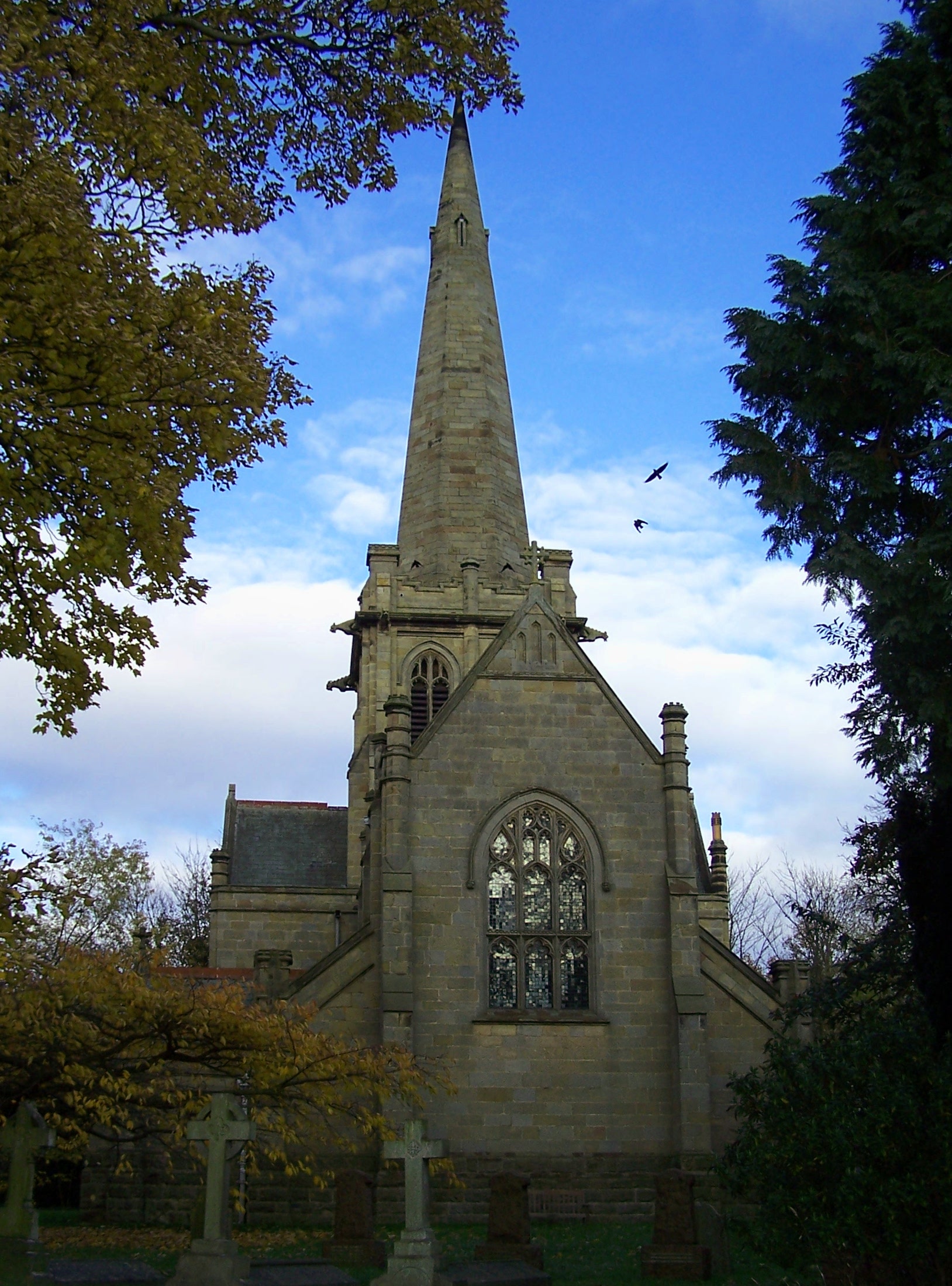
Holy Trinity Church, Tythby
Holy Trinity Church, Tythby is a parish church in the Church of England in the English village of Tithby, Nottinghamshire. The building is Grade I listed...
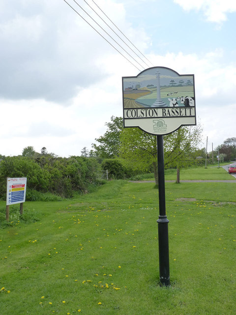
Colston Bassett
Colston Bassett is an English village in the Vale of Belvoir, in the Rushcliffe district of south-east Nottinghamshire, close to its border with Leicestershire...
St John's Church, Colston Bassett
St John's Church, Colston Bassett is an English parish church of the Church of England in Colston Bassett, Nottinghamshire. It is Grade II listed by the...

Wiverton Hall
Wiverton Hall (sometimes pronounced ) is an English country house near Tithby, Nottinghamshire. By 1510 the former village of Wyverton had become impoverished...

Cropwell Butler
Cropwell Butler is a village and civil parish in the borough of Rushcliffe in Nottinghamshire, United Kingdom, one mile east of the A46, under the NG12...
Nearby Amenities
Located within 500m of 52.909218,-0.96642852Have you been to Ash Holt?
Leave your review of Ash Holt below (or comments, questions and feedback).