Walker's Shaw

Wood, Forest in Berkshire

England

Walker's Shaw

Borough of Wokingham : M4 Motorway A sign promoting GreenPark can be seen from the M4 Motorway.
Borough of Wokingham : M4 Motorway Credit: Lewis Clarke

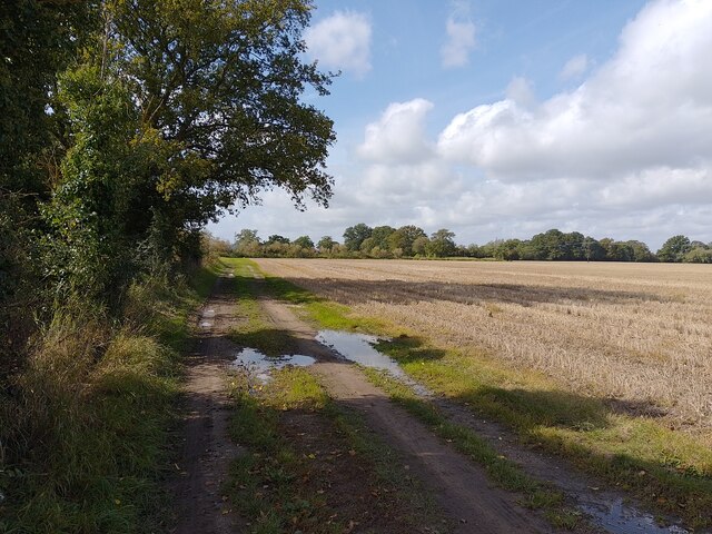
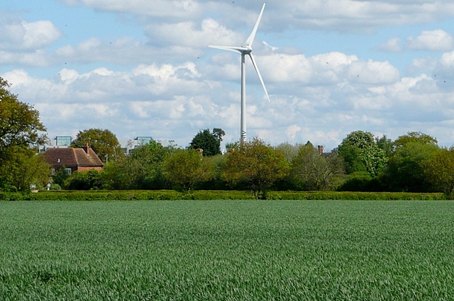
Walker's Shaw is a picturesque woodland area located in Berkshire, England. Situated in the charming village of Shaw, this forested area covers a vast expanse of land, offering a haven for nature enthusiasts and outdoor lovers alike.

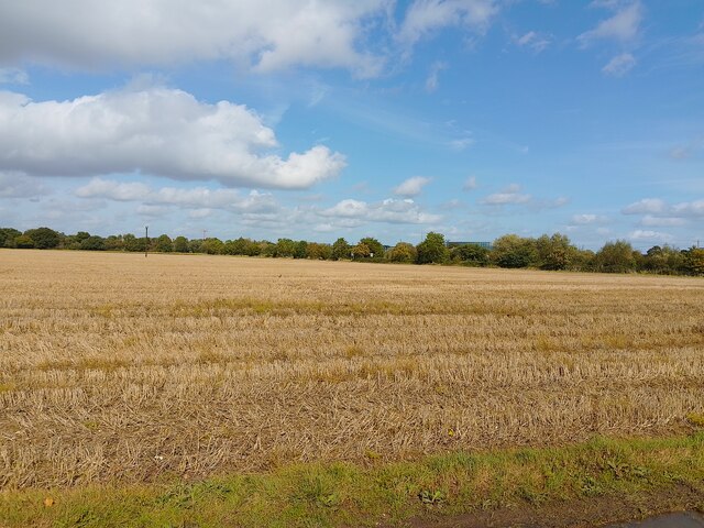
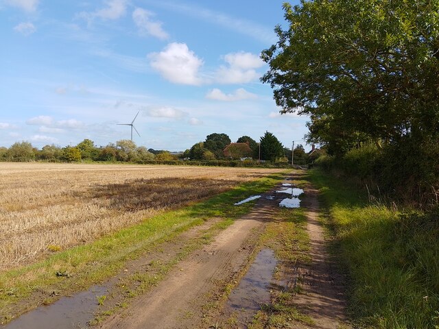
The woodland is characterized by its dense and towering trees, predominantly oak and beech, which create a serene and enchanting atmosphere. A network of well-maintained footpaths weaves through the forest, providing ample opportunities for leisurely walks or more adventurous hikes. Visitors can explore the various trails, immersing themselves in the beauty of the natural surroundings.

The biodiversity of Walker's Shaw is remarkable, with an abundance of flora and fauna. Wildflowers carpet the forest floor during the spring and summer months, adding vibrant colors to the green landscape. The woodland also serves as a home to a diverse range of wildlife, including deer, foxes, badgers, and numerous bird species, making it a popular spot for birdwatching.

In addition to its natural beauty, Walker's Shaw offers recreational facilities for visitors to enjoy. The forest is equipped with picnic areas and benches, allowing families and friends to gather for a delightful outdoor meal. It is also an ideal location for photography enthusiasts, who can capture the stunning scenery and wildlife through their lenses.

Overall, Walker's Shaw in Berkshire is a tranquil and idyllic woodland retreat, providing a peaceful escape from the hustle and bustle of everyday life. Its natural splendor, diverse wildlife, and recreational amenities make it a must-visit destination for nature lovers seeking solace in the beauty of the great outdoors.

If you have any feedback on the listing, please let us know in the comments section below.

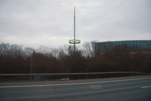
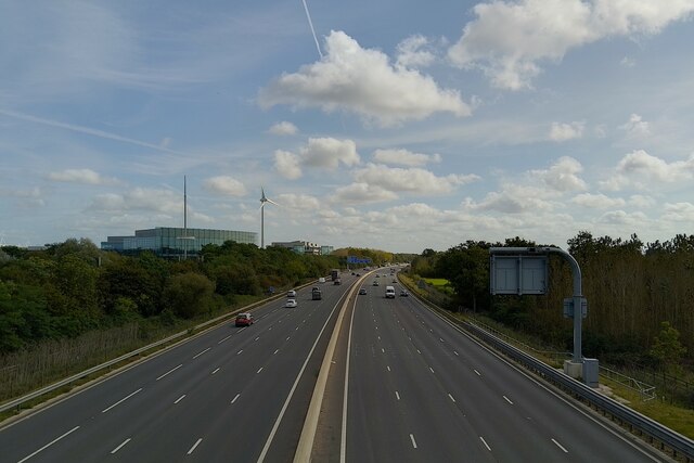
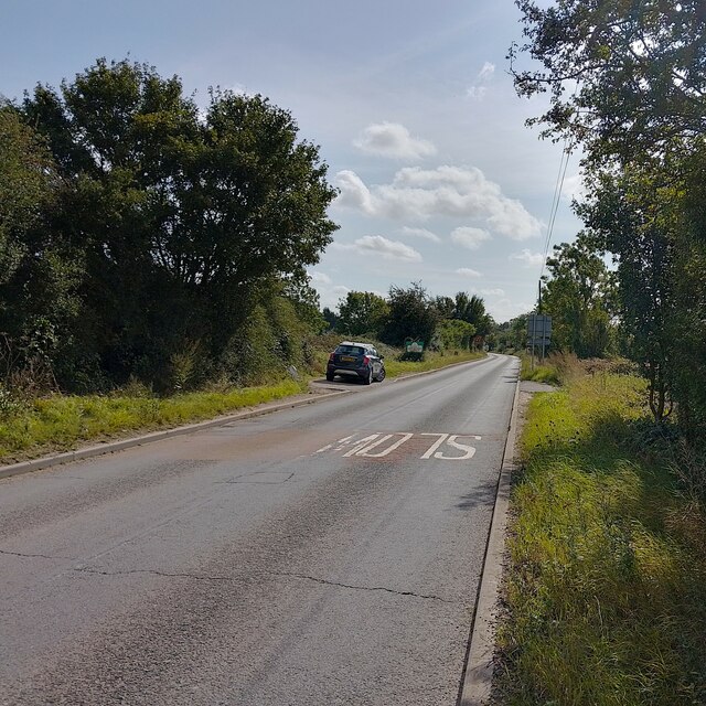
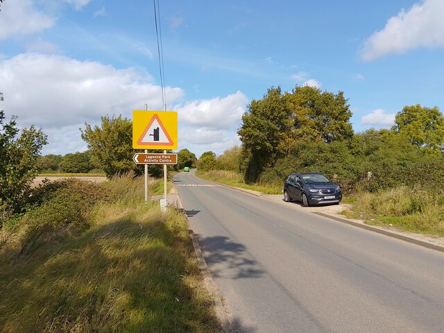
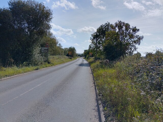
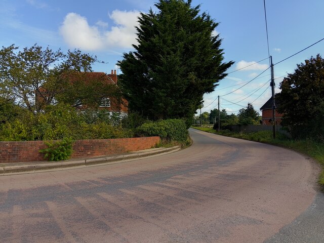
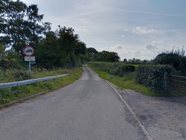
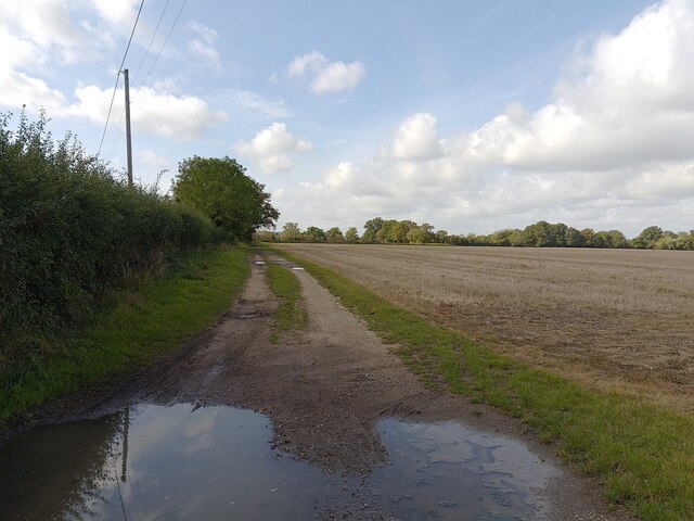
Walker's Shaw Images

Images are sourced within 2km of 51.415174/-1.020238 or Grid Reference SU6868. Thanks to Geograph Open Source API. All images are credited.

Borough of Wokingham : M4 Motorway A sign promoting GreenPark can be seen from the M4 Motorway.
Borough of Wokingham : M4 Motorway
A sign promoting GreenPark can be seen from the M4 Motorway.
M4 motorway past Green Park Viewed from Kybes Lane bridge.
M4 motorway past Green Park
Viewed from Kybes Lane bridge.
Kybes Lane
Kybes Lane
Kybes Lane
Kybes Lane
Kybes Lane Towards Three Mile Cross.
Kybes Lane
Towards Three Mile Cross.
Hartley Court Road Past Hartley Court, Hartley Court Farm and Hartley Court Cottages.
Hartley Court Road
Past Hartley Court, Hartley Court Farm and Hartley Court Cottages.
Kybes Lane Towards Poundgreen.
Kybes Lane
Towards Poundgreen.
Footpath towards Burnthouse Lane A public footpath between Kybes Lane and Burnthouse Lane.
Footpath towards Burnthouse Lane
A public footpath between Kybes Lane and Burnthouse Lane.
Footpath towards Burnthouse Lane A public footpath between Kybes Lane and Burnthouse Lane.
Footpath towards Burnthouse Lane
A public footpath between Kybes Lane and Burnthouse Lane.
Hartley Court farmland
Footpath towards Kybes Lane A public footpath between Kybes Lane and Burnthouse Lane.
Footpath towards Kybes Lane
A public footpath between Kybes Lane and Burnthouse Lane.
Three Mile Cross Looking east along Hartley Court Road in the north of the square. Most of the square is farmland.
Three Mile Cross
Looking east along Hartley Court Road in the north of the square. Most of the square is farmland.
Farmland at Hartley Court This is the first bit of open farmland south of the M4.  Most of the square is like this.  Beyond the M4 is Green Park (the tops of some of the offices can just be seen).  Oh, and the whole area is dominated by the Green Park wind turbine in <a href="https://www.geograph.org.uk/gridref/SU7069">SU7069</a>
Farmland at Hartley Court
This is the first bit of open farmland south of the M4. Most of the square is like this. Beyond the M4 is Green Park (the tops of some of the offices can just be seen). Oh, and the whole area is dominated by the Green Park wind turbine in SU7069
Green Park A large office development to the South of Reading, built by Prudential Property Management (our pension fund).  There is a lot of empty office space now; they were struggling to fill new blocks before the economic downturn.  In due course another block is scheduled to be erected on the site closest to us.
Green Park
A large office development to the South of Reading, built by Prudential Property Management (our pension fund). There is a lot of empty office space now; they were struggling to fill new blocks before the economic downturn. In due course another block is scheduled to be erected on the site closest to us.
Green Park wind turbine The turbine is visible for some distance.  At least here we are in the same square!  Beyond the field is the M4, then Green Park office development where the turbine is situated.
Green Park wind turbine
The turbine is visible for some distance. At least here we are in the same square! Beyond the field is the M4, then Green Park office development where the turbine is situated.
Foudry Brook culvert Foudry (not Foundry) Brook runs under Hartley Court Road at this culvert, too small to be called a bridge.  A digger is carrying out roadworks on top.
Foudry Brook culvert
Foudry (not Foundry) Brook runs under Hartley Court Road at this culvert, too small to be called a bridge. A digger is carrying out roadworks on top.
Farmland, Grazeley Fields either side of the footpath heading south from Hopkiln Farm.
Farmland, Grazeley
Fields either side of the footpath heading south from Hopkiln Farm.
Kybes Lane Bridge, M4 The M4 is 190 miles long and runs from London to South Wales. Major centres close to the motorway include Reading, Swindon, Bristol, Newport, Cardiff and Swansea. The motorway was constructed between 1961 and 1996. The M4 originally crossed the first Severn Road Bridge. It has now been diverted to use the Second Severn Crossing and the motorway over the older bridge has been renumbered as M48.
Wikipedia: <span class="nowrap"><a title="http://en.wikipedia.org/wiki/M4_motorway" rel="nofollow ugc noopener" href="http://en.wikipedia.org/wiki/M4_motorway">Link</a><img style="margin-left:2px;" alt="External link" title="External link - shift click to open in new window" src="https://s1.geograph.org.uk/img/external.png" width="10" height="10"/></span>
Kybes Lane Bridge, M4
The M4 is 190 miles long and runs from London to South Wales. Major centres close to the motorway include Reading, Swindon, Bristol, Newport, Cardiff and Swansea. The motorway was constructed between 1961 and 1996. The M4 originally crossed the first Severn Road Bridge. It has now been diverted to use the Second Severn Crossing and the motorway over the older bridge has been renumbered as M48. Wikipedia: LinkExternal link
Show me another place!

Walker's Shaw is located at Grid Ref: SU6868 (Lat: 51.415174, Lng: -1.020238)

Unitary Authority: West Berkshire

Police Authority: Thames Valley

What 3 Words

///woven.ending.mirror. Near Calcot, Berkshire

Nearby Locations

Walker's Shaw Amner's Wood

Related Wikis

Pingewood

Pingewood is a hamlet in the civil parish of Burghfield, to the south of Reading, in the English county of Berkshire. It lies to the Southwest of Burghfield...

List of Sites of Special Scientific Interest in Berkshire

In England, Sites of Special Scientific Interest (SSSIs) are designated by Natural England, which is responsible for protecting England's natural environment...

List of local nature reserves in Berkshire

Local nature reserves (LNRs) in England are designated by local authorities under Section 21 of the National Parks and Access to the Countryside Act 1949...

Reading services

Reading services comprises a pair of adjacent motorway service areas on the M4 motorway to the south of the town of Reading in the English county of Berkshire...

Nearby Amenities

Located within 500m of 51.415174,-1.020238
Power: pole
Lat/Long: 51.4187502/-1.0223454
Power: pole
Lat/Long: 51.4180727/-1.0231233
Power: pole
Lat/Long: 51.4161842/-1.0252288
Power: pole
Lat/Long: 51.4155887/-1.0259289
Power: pole
Lat/Long: 51.4144027/-1.0272619
Power: pole
Lat/Long: 51.4184424/-1.0182363
Power: pole
Lat/Long: 51.4169671/-1.0172385
Power: pole
Lat/Long: 51.4161441/-1.018424
Power: pole
Lat/Long: 51.415311/-1.0196418
Power: pole
Lat/Long: 51.4143792/-1.0209775
Power: pole
Lat/Long: 51.4134173/-1.022324
Power: pole
Lat/Long: 51.4135227/-1.0241184
Power: pole
Lat/Long: 51.4136014/-1.0258538
Amnerfield Miniature Railway
Railway: station
Usage: tourism
Lat/Long: 51.4191905/-1.0218192
The data included in this document is from www.openstreetmap.org. The data is made available under ODbL.

Have you been to Walker's Shaw?

Leave your review of Walker's Shaw below (or comments, questions and feedback).