Ash Spinney

Wood, Forest in Leicestershire Harborough

England

Ash Spinney

Road towards King's Norton
Road towards King's Norton Credit: Ian S

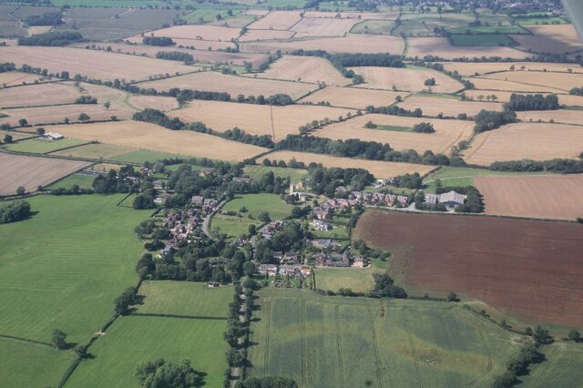
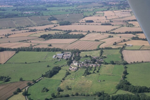
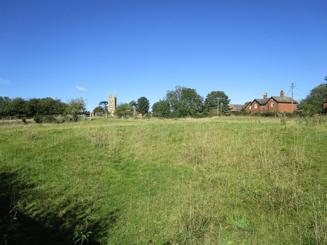
Ash Spinney is a small wood located in Leicestershire, England. Situated in the picturesque countryside, it is known for its dense forest and tranquil atmosphere. Covering an area of approximately 10 acres, Ash Spinney is home to a variety of tree species, including ash trees, which give the wood its name.

The wood is characterized by its dense canopy, which provides a shaded and cool environment, especially during hot summer months. The forest floor is covered with a thick layer of leaf litter, creating a natural carpet of decaying vegetation. This provides habitat for a wide range of flora and fauna, including various species of wildflowers, ferns, and mosses.

Ash Spinney is a popular destination for nature enthusiasts and hikers, offering numerous walking trails that wind through the wood. These trails allow visitors to explore the diverse ecosystem and enjoy the peaceful ambiance. The wood also attracts birdwatchers, as it is home to several bird species, including woodpeckers, owls, and various songbirds.

Managed by the local conservation authority, Ash Spinney is carefully maintained to preserve its natural beauty and biodiversity. Regular tree planting and maintenance efforts ensure the health and sustainability of the wood. Additionally, educational programs and guided tours are organized to raise awareness about the importance of woodland conservation and the local ecosystem.

Overall, Ash Spinney is a tranquil and idyllic woodland that provides a haven for nature lovers and offers a glimpse into the beauty of Leicestershire's countryside.

If you have any feedback on the listing, please let us know in the comments section below.
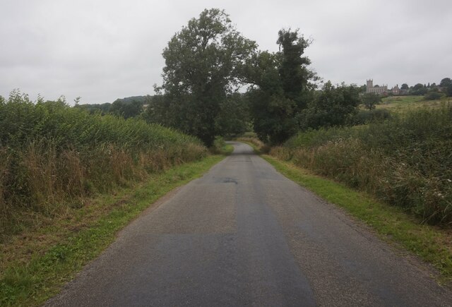
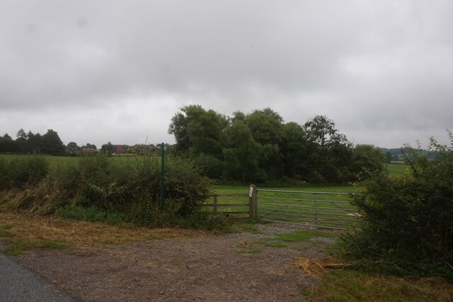
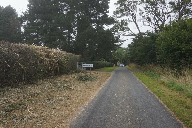
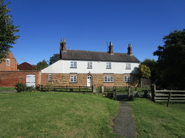
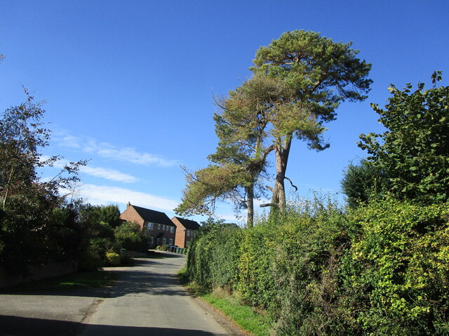
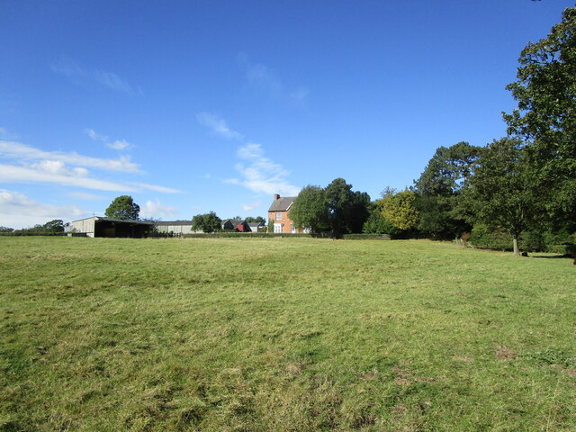
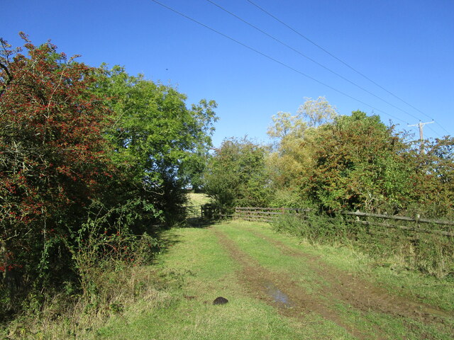
Ash Spinney Images

Images are sourced within 2km of 52.609596/-0.99392032 or Grid Reference SK6801. Thanks to Geograph Open Source API. All images are credited.

Road towards King's Norton
St John the Baptist Church, King's Norton
Victorian postbox on Norton Lane, King's Norton
Public footpath off Norton Lane
Norton Lane, Gaulby
Norton Lane, Gaulby
Edward VII postbox, Main Street, Gaulby
St Peter's Church, Gaulby
Front Street, Gaulby
Gaulby: aerial 2021
Gaulby: aerial 2021
King's Norton: aerial 2021
House, Front Street, Gaulby Seen from the churchyard.
House, Front Street, Gaulby
Seen from the churchyard.
Back Lane, Gaulby
Back Lane, Gaulby
Grass field and Grange Farm, King's Norton
Track to King's Norton
St. Peter's church, Gaulby Apart from the sixteenth century chancel the church was rebuilt in 1741 <span class="nowrap"><a title="https://historicengland.org.uk/listing/the-list/list-entry/1074849" rel="nofollow ugc noopener" href="https://historicengland.org.uk/listing/the-list/list-entry/1074849">Link</a><img style="margin-left:2px;" alt="External link" title="External link - shift click to open in new window" src="https://s1.geograph.org.uk/img/external.png" width="10" height="10"/></span>
St. Peter's church, Gaulby
Apart from the sixteenth century chancel the church was rebuilt in 1741 LinkExternal link
St. Peter's church, Gaulby, interior looking east Apart from the sixteenth century chancel the church was rebuilt in 1741 <span class="nowrap"><a title="https://historicengland.org.uk/listing/the-list/list-entry/1074849" rel="nofollow ugc noopener" href="https://historicengland.org.uk/listing/the-list/list-entry/1074849">Link</a><img style="margin-left:2px;" alt="External link" title="External link - shift click to open in new window" src="https://s1.geograph.org.uk/img/external.png" width="10" height="10"/></span>
St. Peter's church, Gaulby, interior looking east
Apart from the sixteenth century chancel the church was rebuilt in 1741 LinkExternal link
St. Peter's church, Gaulby Apart from the sixteenth century chancel the church was rebuilt in 1741 <span class="nowrap"><a title="https://historicengland.org.uk/listing/the-list/list-entry/1074849" rel="nofollow ugc noopener" href="https://historicengland.org.uk/listing/the-list/list-entry/1074849">Link</a><img style="margin-left:2px;" alt="External link" title="External link - shift click to open in new window" src="https://s1.geograph.org.uk/img/external.png" width="10" height="10"/></span>
St. Peter's church, Gaulby
Apart from the sixteenth century chancel the church was rebuilt in 1741 LinkExternal link
Grassfields in the centre of Gaulby The houses of Gaulby are scattered around an area of grassland.
Grassfields in the centre of Gaulby
The houses of Gaulby are scattered around an area of grassland.
Show me another place!

Ash Spinney is located at Grid Ref: SK6801 (Lat: 52.609596, Lng: -0.99392032)

Administrative County: Leicestershire

District: Harborough

Police Authority: Leicestershire

What 3 Words

///landmark.widest.sketching. Near Houghton on the Hill, Leicestershire

Nearby Locations

Ash Spinney Norton Gorse

Related Wikis

Gaulby

Gaulby (or Galby) is a village in Leicestershire, England, 7 miles east of the city of Leicester. According to the 2001 census it had a population of 131...

King's Norton, Leicestershire

King's Norton is a village and civil parish in the Harborough district of Leicestershire, England. It is situated to the east of Leicester, and about...

Houghton on the Hill

Houghton on the Hill is a village and civil parish lying six miles (10 km) to the east of Leicester in the Harborough district, in Leicestershire, East...

Little Stretton, Leicestershire

Little Stretton (otherwise Stretton Parva) is a small village and civil parish in the Harborough district of Leicestershire that lies approximately 5.53...

Nearby Amenities

Located within 500m of 52.609596,-0.99392032
Ford: yes
Lat/Long: 52.6130349/-0.9944707
Information: guidepost
Operator: Leicestershire County Council
Tourism: information
Lat/Long: 52.6125407/-0.9953811
Information: guidepost
Operator: Natural England
Tourism: information
Lat/Long: 52.6125958/-0.9954917
Information: guidepost
Operator: Leicestershire County Council
Tourism: information
Lat/Long: 52.6133445/-0.9915785
Information: guidepost
Operator: Leicestershire County Council
Tourism: information
Lat/Long: 52.6063284/-0.994818
The data included in this document is from www.openstreetmap.org. The data is made available under ODbL.

Have you been to Ash Spinney?

Leave your review of Ash Spinney below (or comments, questions and feedback).