Washbrook Spinney

Wood, Forest in Northamptonshire

England

Washbrook Spinney

Silverstone Motor Racing Circuit A Williams FW26 F1 car in Luffield corner.
Silverstone Motor Racing Circuit Credit: Peter Roberts

Washbrook Spinney is a picturesque wood located in Northamptonshire, England. Covering an area of approximately 10 acres, it is situated just south of the village of Washbrook. The Spinney is a designated Site of Special Scientific Interest (SSSI) due to its rich biodiversity and unique ecosystem.

The wood is primarily composed of broadleaved trees such as oak, beech, and ash, providing a dense canopy that offers shade and shelter to various woodland plants and animals. The forest floor is covered in a thick layer of leaf litter, creating a habitat for a diverse range of invertebrates, fungi, and woodland flora.

Washbrook Spinney is a popular destination for nature enthusiasts, offering a tranquil escape from the hustle and bustle of urban life. It provides a haven for birdwatchers, with a variety of bird species including woodpeckers, thrushes, and tits being commonly spotted. The wood is also home to mammals such as foxes, badgers, and squirrels, which can often be seen scurrying through the undergrowth.

The Spinney is crisscrossed with a network of footpaths, allowing visitors to explore the wood and enjoy its natural beauty. These pathways lead to a small clearing, which serves as a picnic area for visitors to relax and appreciate the serenity of the surroundings.

Overall, Washbrook Spinney is a charming woodland area that offers a diverse range of flora and fauna, making it a haven for nature lovers and a valuable asset to the Northamptonshire countryside.

If you have any feedback on the listing, please let us know in the comments section below.

Washbrook Spinney Images

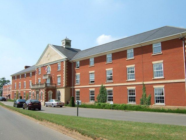
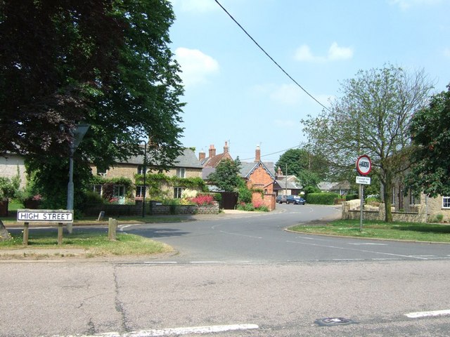
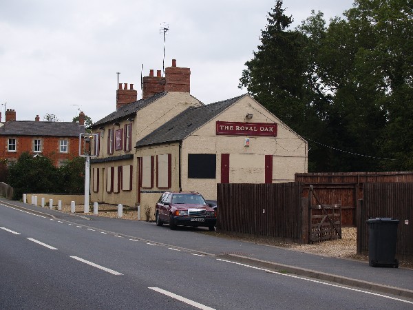
Images are sourced within 2km of 52.092786/-1.0056133 or Grid Reference SP6844. Thanks to Geograph Open Source API. All images are credited.

Silverstone Motor Racing Circuit A Williams FW26 F1 car in Luffield corner.
Silverstone Motor Racing Circuit
A Williams FW26 F1 car in Luffield corner.
St Michael's, Silverstone
St Mary's, Whittlebury
Fields near Burcotewood Farm A poppy and a thistle stand in front of a field of wheat with rolling farmland behind.
Fields near Burcotewood Farm
A poppy and a thistle stand in front of a field of wheat with rolling farmland behind.
Whittlebury (North) The Crescent to the left, Vicarage Close to the right and the A413 is the High Street through Whittlebury. Take heed of speed signs, it's a favourite place for the police to catch speeders.
Whittlebury (North)
The Crescent to the left, Vicarage Close to the right and the A413 is the High Street through Whittlebury. Take heed of speed signs, it's a favourite place for the police to catch speeders.
Whittlebury (South) The southern part of Whittlebury with the Fox & Hounds pub (the white building, see <a href="https://www.geograph.org.uk/photo/189204">SP6943 : The Fox and Hounds, Whittlebury</a>).
Whittlebury (South)
The southern part of Whittlebury with the Fox & Hounds pub (the white building, see SP6943 : The Fox and Hounds, Whittlebury).
West Park Farm A mare and her foal nibble the grass in front of West Park Farm. Near to Whittlebury this lovely old farm obviously belonged to a Gentleman Farmer in the past. Much of its land is now taken over by Whittlebury Park Golf Course.
West Park Farm
A mare and her foal nibble the grass in front of West Park Farm. Near to Whittlebury this lovely old farm obviously belonged to a Gentleman Farmer in the past. Much of its land is now taken over by Whittlebury Park Golf Course.
Whittlebury Park Hotel The frontage of the large hotel that forms part of the substantial Whittlebury Park Golf and Country Club.
Whittlebury Park Hotel
The frontage of the large hotel that forms part of the substantial Whittlebury Park Golf and Country Club.
Road to Burcotewood Farm This lane is unusually off a sliproad, namely the A413 sliproad from the A43. The lane leads past Burcotewood Farm to Wood Burcote and thence becomes a back road into Towcester.
Road to Burcotewood Farm
This lane is unusually off a sliproad, namely the A413 sliproad from the A43. The lane leads past Burcotewood Farm to Wood Burcote and thence becomes a back road into Towcester.
Church Way, Whittlebury The High Street sign refers to the road in the foreground which is the A413 through Whittlebury. The road snaking off ahead is Church Way.
Church Way, Whittlebury
The High Street sign refers to the road in the foreground which is the A413 through Whittlebury. The road snaking off ahead is Church Way.
The Fox and Hounds, Whittlebury Close up of the pub seen in <a href="https://www.geograph.org.uk/photo/187607">SP6943 : Whittlebury (South)</a>
The Fox and Hounds, Whittlebury
Close up of the pub seen in SP6943 : Whittlebury (South)
West Park Farm - The Farmhouse A close-up of the farmhouse with a massive Cedar to the right.
West Park Farm - The Farmhouse
A close-up of the farmhouse with a massive Cedar to the right.
The Royal Oak (A413) Closed
The Royal Oak (A413)
Closed
Murswell Lane Silverstone
Converted Windmill (Windmill Farm)
Silverstone Motor Racing Circuit Pit Straight F1 Testing
Silverstone Motor Racing Circuit Pit Straight
F1 Testing
Pury End Lane leading to Porterswood Farm.
Pury End
Lane leading to Porterswood Farm.
Show me another place!

Washbrook Spinney is located at Grid Ref: SP6844 (Lat: 52.092786, Lng: -1.0056133)

Unitary Authority: West Northamptonshire

Police Authority: Northamptonshire

What 3 Words

///backyards.surfacing.reap. Near Silverstone, Northamptonshire

Related Wikis

Silverstone

Silverstone is a village and civil parish in Northamptonshire, England. It is about 4 miles (6.4 km) from Towcester on the former A43 main road, 10 miles...

Whittlebury

Whittlebury is a village and civil parish in the south of the English county of Northamptonshire, close to its border with Buckinghamshire. == History... ==

Silverstone University Technical College

Silverstone University Technical College (or Silverstone UTC) is a university technical college (UTC) that opened at the Silverstone Circuit in Northamptonshire...

2007 British Grand Prix

The 2007 British Grand Prix (formally the 2007 Formula 1 Santander British Grand Prix) was the ninth race of the 2007 FIA Formula One World Championship...

Nearby Amenities

Located within 500m of 52.092786,-1.0056133
Power: pole
Lat/Long: 52.088552/-1.0037586
Power: pole
Lat/Long: 52.0957819/-1.0100326
Power: pole
Lat/Long: 52.0888518/-1.0023959
Power: pole
Lat/Long: 52.089399/-1.0008074
Power: pole
Lat/Long: 52.0936279/-1.0107107
Power: pole
Lat/Long: 52.0924901/-1.0110984
Power: pole
Lat/Long: 52.0912928/-1.0114455
Power: pole
Lat/Long: 52.0946995/-1.0103641
The data included in this document is from www.openstreetmap.org. The data is made available under ODbL.

Have you been to Washbrook Spinney?

Leave your review of Washbrook Spinney below (or comments, questions and feedback).