Amner's Wood

Wood, Forest in Berkshire

England

Amner's Wood

Borough of Wokingham : M4 Motorway A sign promoting GreenPark can be seen from the M4 Motorway.
Borough of Wokingham : M4 Motorway Credit: Lewis Clarke

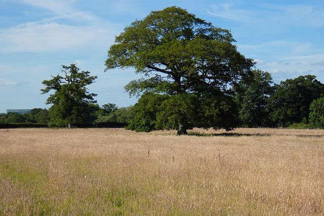
Amner's Wood is a picturesque woodland located in Berkshire, England. With its lush greenery, towering trees, and peaceful atmosphere, it is a popular destination for nature enthusiasts and locals alike. The wood spans an area of approximately 100 acres and is situated near the village of Amner's End.

This enchanting forest is primarily composed of deciduous trees, including oak, beech, and birch. These trees provide a stunning canopy overhead, filtering the sunlight and creating a tranquil environment below. The wood is also home to a diverse range of wildlife, including deer, foxes, and a variety of bird species.

The wood features numerous walking trails that meander through its dense foliage, offering visitors the opportunity to explore its natural beauty. The paths are well-maintained, making it accessible and enjoyable for people of all ages. As visitors wander through the wood, they can enjoy the symphony of birdsong and the gentle rustling of leaves underfoot.

Amner's Wood is a wonderful place to escape the hustle and bustle of everyday life and immerse oneself in nature. It provides a serene environment for activities such as hiking, birdwatching, and photography. Additionally, there are several designated picnic areas where visitors can relax and enjoy a meal surrounded by the wood's scenic views.

Overall, Amner's Wood in Berkshire is a captivating destination that offers a peaceful retreat for those seeking solace in nature's embrace. Whether one is looking for a leisurely stroll or a quiet spot to unwind, this enchanting woodland provides an idyllic setting for all to enjoy.

If you have any feedback on the listing, please let us know in the comments section below.
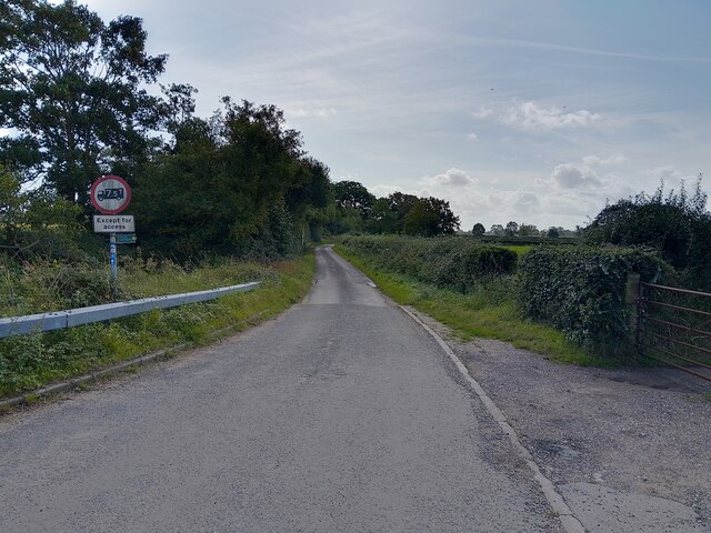
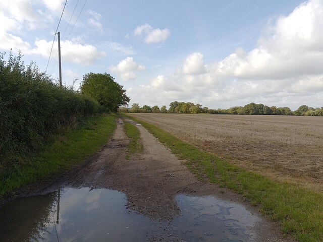
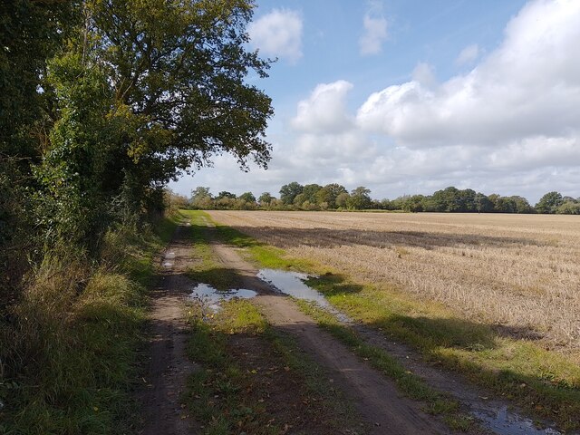
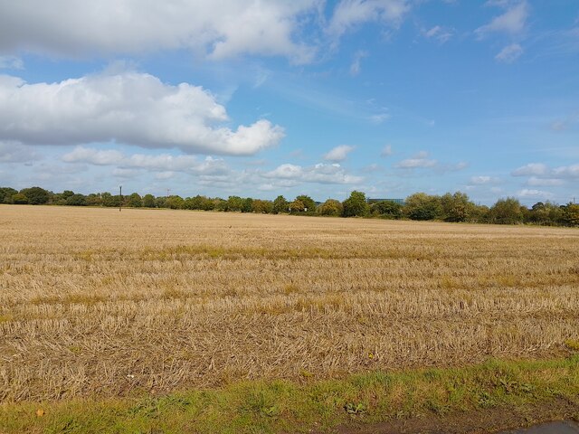
Amner's Wood Images

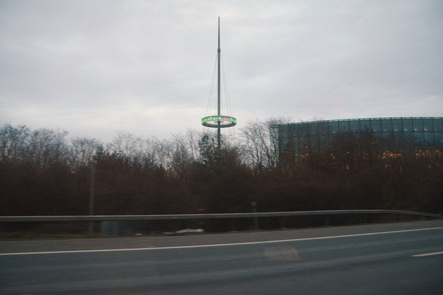
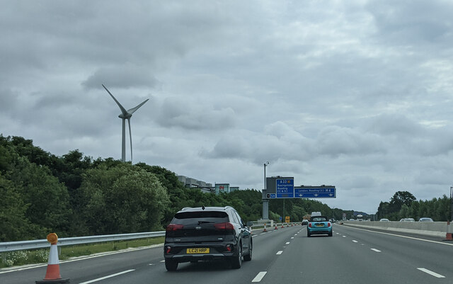
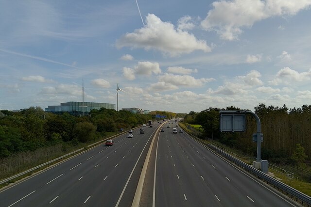
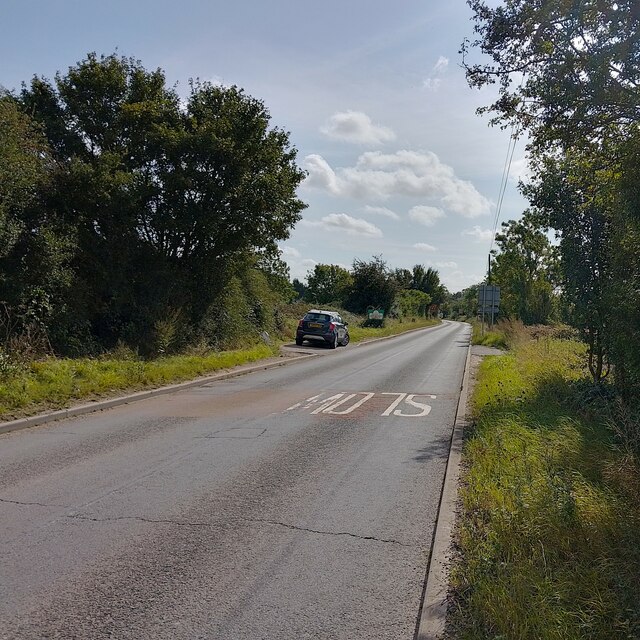
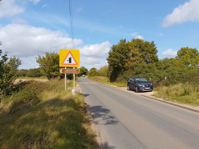
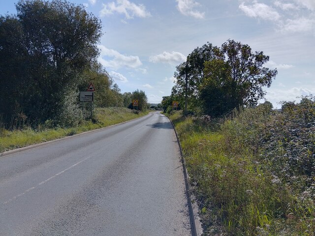
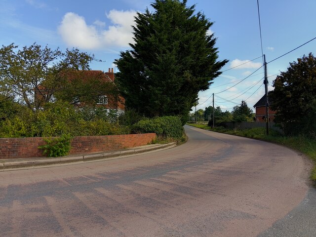
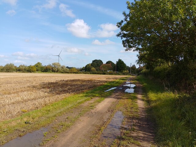
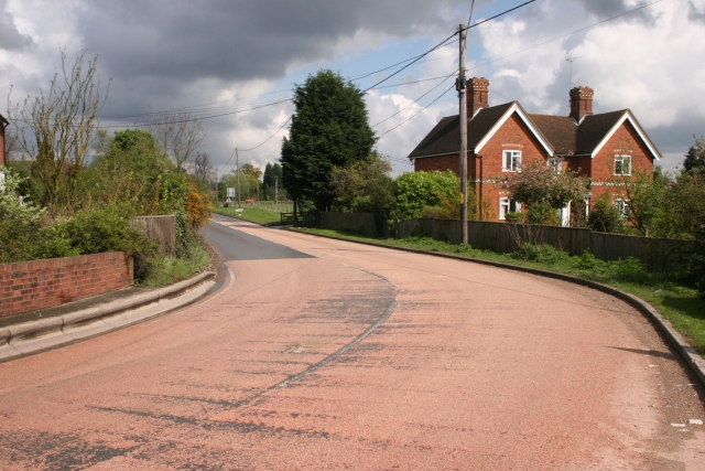
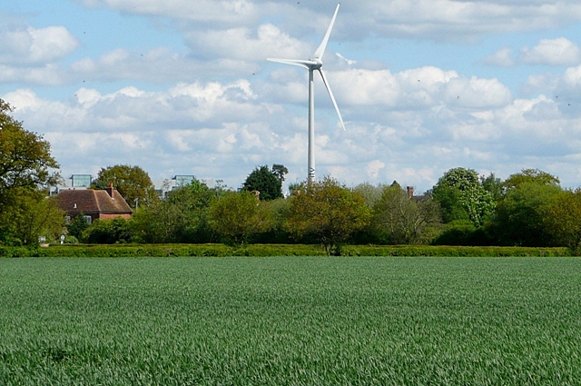
Images are sourced within 2km of 51.412972/-1.0181569 or Grid Reference SU6868. Thanks to Geograph Open Source API. All images are credited.

Borough of Wokingham : M4 Motorway A sign promoting GreenPark can be seen from the M4 Motorway.
Borough of Wokingham : M4 Motorway
A sign promoting GreenPark can be seen from the M4 Motorway.
Pepsico HQ, Reading Like its neighbour <a href="https://www.geograph.org.uk/photo/6209947">SU7069 : Bayer plc, Reading</a>, designed by EPR (Ecological Planning & Research).
Pepsico HQ, Reading
Like its neighbour SU7069 : Bayer plc, Reading, designed by EPR (Ecological Planning & Research).
On the M4 heading east approaching junction 11
Pasture, Shinfield Beside the footpath to the south of Hopkiln Farm.
Pasture, Shinfield
Beside the footpath to the south of Hopkiln Farm.
M4 towards London Next junction, 11.
M4 towards London
Next junction, 11.
M4 motorway past Green Park Viewed from Kybes Lane bridge.
M4 motorway past Green Park
Viewed from Kybes Lane bridge.
Kybes Lane
Kybes Lane
Kybes Lane
Kybes Lane
Kybes Lane Towards Three Mile Cross.
Kybes Lane
Towards Three Mile Cross.
Hartley Court Road Past Hartley Court, Hartley Court Farm and Hartley Court Cottages.
Hartley Court Road
Past Hartley Court, Hartley Court Farm and Hartley Court Cottages.
Kybes Lane Towards Poundgreen.
Kybes Lane
Towards Poundgreen.
Footpath towards Burnthouse Lane A public footpath between Kybes Lane and Burnthouse Lane.
Footpath towards Burnthouse Lane
A public footpath between Kybes Lane and Burnthouse Lane.
Footpath towards Burnthouse Lane A public footpath between Kybes Lane and Burnthouse Lane.
Footpath towards Burnthouse Lane
A public footpath between Kybes Lane and Burnthouse Lane.
Hartley Court farmland
Footpath towards Kybes Lane A public footpath between Kybes Lane and Burnthouse Lane.
Footpath towards Kybes Lane
A public footpath between Kybes Lane and Burnthouse Lane.
Three Mile Cross Looking east along Hartley Court Road in the north of the square. Most of the square is farmland.
Three Mile Cross
Looking east along Hartley Court Road in the north of the square. Most of the square is farmland.
The M4 and Green Park, Reading The relatively new business park and wind turbine seen from the bridge near Pingewood. In the distance is the chimney at the Scottish and Newcastle brewery.
The M4 and Green Park, Reading
The relatively new business park and wind turbine seen from the bridge near Pingewood. In the distance is the chimney at the Scottish and Newcastle brewery.
Farmland at Hartley Court This is the first bit of open farmland south of the M4.  Most of the square is like this.  Beyond the M4 is Green Park (the tops of some of the offices can just be seen).  Oh, and the whole area is dominated by the Green Park wind turbine in <a href="https://www.geograph.org.uk/gridref/SU7069">SU7069</a>
Farmland at Hartley Court
This is the first bit of open farmland south of the M4. Most of the square is like this. Beyond the M4 is Green Park (the tops of some of the offices can just be seen). Oh, and the whole area is dominated by the Green Park wind turbine in SU7069
Show me another place!

Amner's Wood is located at Grid Ref: SU6868 (Lat: 51.412972, Lng: -1.0181569)

Unitary Authority: West Berkshire

Police Authority: Thames Valley

What 3 Words

///pushed.herbs.sushi. Near Calcot, Berkshire

Nearby Locations

Amner's Wood Walker's Shaw

Related Wikis

Pingewood

Pingewood is a hamlet in the civil parish of Burghfield, to the south of Reading, in the English county of Berkshire. It lies to the Southwest of Burghfield...

List of Sites of Special Scientific Interest in Berkshire

In England, Sites of Special Scientific Interest (SSSIs) are designated by Natural England, which is responsible for protecting England's natural environment...

List of local nature reserves in Berkshire

Local nature reserves (LNRs) in England are designated by local authorities under Section 21 of the National Parks and Access to the Countryside Act 1949...

Berkshire

The Royal County of Berkshire, commonly known as simply Berkshire ( BARK-sheer, -⁠shər; abbreviated Berks.), is a ceremonial county in South East England...

Nearby Amenities

Located within 500m of 51.412972,-1.0181569
Power: pole
Lat/Long: 51.4169671/-1.0172385
Power: pole
Lat/Long: 51.4161441/-1.018424
Power: pole
Lat/Long: 51.415311/-1.0196418
Power: pole
Lat/Long: 51.4143792/-1.0209775
Power: pole
Lat/Long: 51.4134173/-1.022324
Power: pole
Lat/Long: 51.4135227/-1.0241184
The data included in this document is from www.openstreetmap.org. The data is made available under ODbL.

Have you been to Amner's Wood?

Leave your review of Amner's Wood below (or comments, questions and feedback).