Common Covert
Wood, Forest in Oxfordshire South Oxfordshire
England
Common Covert

Common Covert is a picturesque woodland located in Oxfordshire, England. Spanning over a vast area, the woodland is known for its dense and diverse vegetation, making it a haven for nature lovers and outdoor enthusiasts. The name "Covert" refers to a dense thicket or a sheltered area, which accurately describes the character of this woodland.
Common Covert is home to a wide range of plant and animal species, including ancient oak trees, birch trees, and a variety of wildflowers. The woodland floor is carpeted with ferns, mosses, and bluebells during the spring season, creating a mesmerizing sight for visitors. The dense canopy of trees provides a shaded and peaceful atmosphere, making it an ideal destination for nature walks, birdwatching, and photography.
Additionally, Common Covert is known for its rich wildlife. It is a habitat for various bird species such as woodpeckers, owls, and songbirds. The woodland also supports a diverse range of mammals, including foxes, rabbits, and deer. Nature enthusiasts often visit the area to catch a glimpse of these creatures in their natural habitat.
The woodland is easily accessible, with well-maintained footpaths and trails that make it suitable for all kinds of explorers. Whether one prefers a leisurely stroll or a more adventurous hike, Common Covert offers a range of options to suit different preferences and abilities.
Overall, Common Covert in Oxfordshire is a beautiful woodland with a rich biodiversity, captivating scenery, and ample opportunities for outdoor activities. It remains a beloved destination for nature enthusiasts looking to immerse themselves in the tranquility of nature.
If you have any feedback on the listing, please let us know in the comments section below.
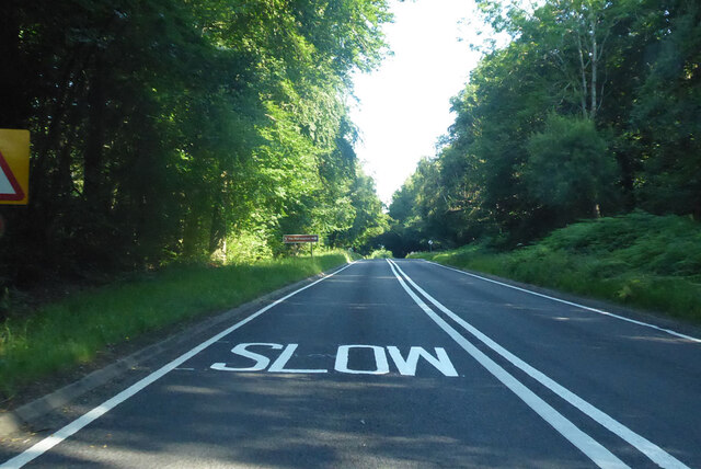
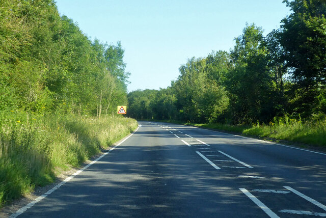
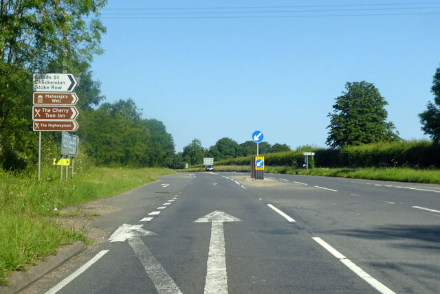
Common Covert Images
Images are sourced within 2km of 51.519762/-1.0580204 or Grid Reference SU6580. Thanks to Geograph Open Source API. All images are credited.


Common Covert is located at Grid Ref: SU6580 (Lat: 51.519762, Lng: -1.0580204)
Administrative County: Oxfordshire
District: South Oxfordshire
Police Authority: Thames Valley
What 3 Words
///scouting.restriction.spans. Near Pangbourne, Berkshire
Nearby Locations
Related Wikis

Exlade Street
Exlade Street is a hamlet in Checkendon civil parish in Oxfordshire, about 6 miles (9.7 km) northwest of Reading, in the Chiltern Hills. The hamlet is...

The Oratory School
The Oratory School () is an HMC co-educational private Roman Catholic boarding and day school for pupils aged 11–18 located in Woodcote, 6 miles (9.7 km...
The Oratory Preparatory School
The Oratory Prep School is a Roman Catholic day and boarding school for some 330 boys and girls aged from two to thirteen, founded in 1925. The school...

Langtree School
Langtree School is a coeducational secondary school located in the village of Woodcote in South Oxfordshire, England. The school has approximately 624...

Whitchurch Hill
Whitchurch Hill is a village in the Chiltern Hills in Oxfordshire, about 5.5 miles (9 km) northwest of Reading, Berkshire, near Whitchurch-on-Thames. The...

Hook End Recording Studios
Hook End Recording Studios was a recording studio located in Hook End Manor, a 16th-century Elizabethan house near Checkendon, Oxfordshire, England. Its...
Crays Pond
Crays Pond is a hamlet situated in the parish of Goring Heath in South Oxfordshire. Crays Pond is about 2.4 miles (3.9 km) northeast of Goring-on-Thames...

Woodcote
Woodcote is a village and civil parish in South Oxfordshire, about 5 miles (8 km) southeast of Wallingford and about 7 miles (11 km) northwest of Reading...
Nearby Amenities
Located within 500m of 51.519762,-1.0580204Have you been to Common Covert?
Leave your review of Common Covert below (or comments, questions and feedback).