Bixmoor Wood
Wood, Forest in Oxfordshire South Oxfordshire
England
Bixmoor Wood
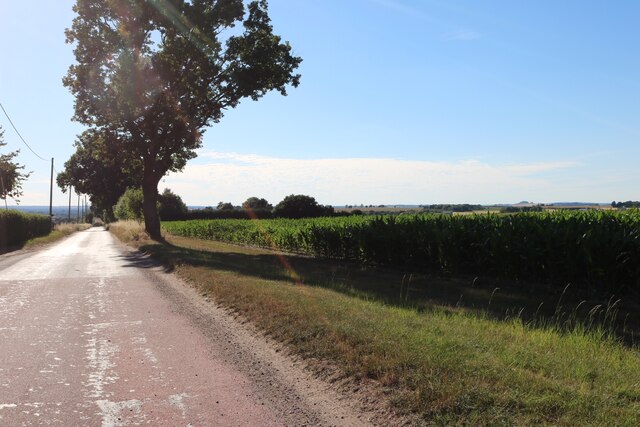
Bixmoor Wood is a picturesque and enchanting woodland located in Oxfordshire, England. Covering an area of approximately 200 acres, it is nestled in the heart of the Chiltern Hills, a designated Area of Outstanding Natural Beauty. The wood is situated near the village of Bix, just a few miles away from the historic town of Henley-on-Thames.
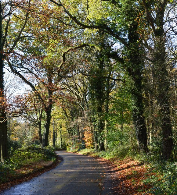
Bixmoor Wood is predominantly composed of ancient woodland, meaning it has been continuously wooded since at least 1600 AD. This gives the woodland a rich and diverse ecological heritage, with a variety of tree species such as oak, beech, ash, and birch. The forest floor is adorned with a plethora of wildflowers and ferns, creating a vibrant and colorful display during spring and summer.
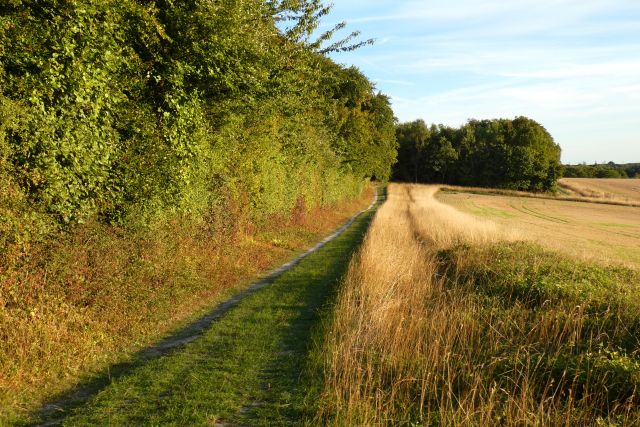
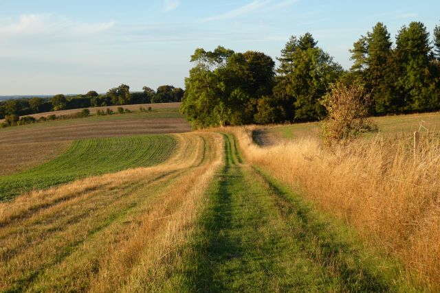
The wood is crisscrossed with a network of footpaths and trails, allowing visitors to explore its natural beauty at their own pace. These paths wind through the woodland, leading to hidden clearings, babbling brooks, and tranquil ponds. The serene atmosphere and abundant wildlife make it an ideal destination for nature lovers and photographers.
Bixmoor Wood is home to a diverse range of fauna, including deer, badgers, foxes, and a multitude of bird species. It provides a vital habitat for many rare and endangered creatures, contributing to the overall biodiversity of the region.
Whether you are seeking a peaceful stroll, a wildlife-spotting adventure, or simply a place to immerse yourself in nature, Bixmoor Wood offers a captivating experience for visitors of all ages. Its natural beauty and tranquil ambiance make it a true gem in Oxfordshire's countryside.
If you have any feedback on the listing, please let us know in the comments section below.
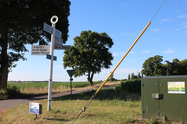
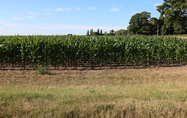
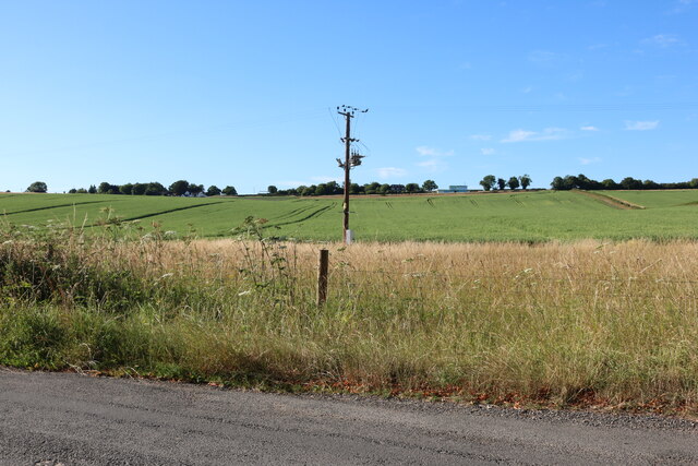
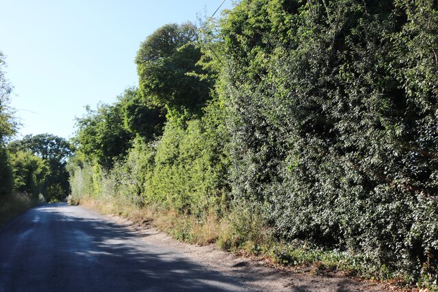
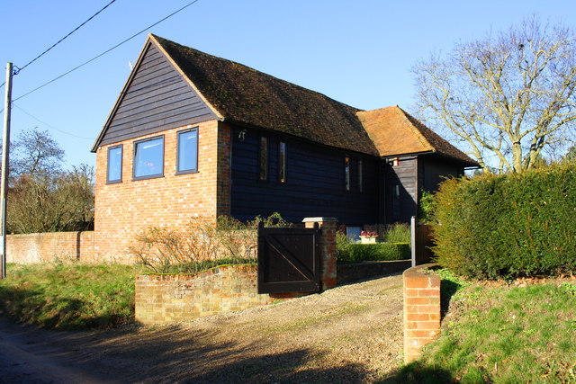
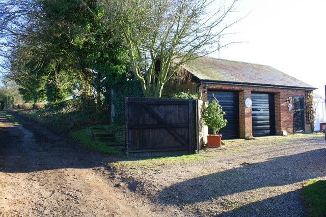
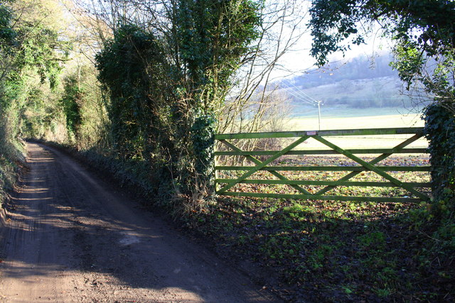
Bixmoor Wood Images
Images are sourced within 2km of 51.571239/-1.0569426 or Grid Reference SU6586. Thanks to Geograph Open Source API. All images are credited.


Bixmoor Wood is located at Grid Ref: SU6586 (Lat: 51.571239, Lng: -1.0569426)
Administrative County: Oxfordshire
District: South Oxfordshire
Police Authority: Thames Valley
What 3 Words
///truffles.arise.jugs. Near Wallingford, Oxfordshire
Nearby Locations
Related Wikis

Warren Bank
Warren Bank is a 3.1-hectare (7.7-acre) biological Site of Special Scientific Interest south-east of Wallingford in Oxfordshire. It is managed by the Berkshire...

Ipsden Heath
Ipsden Heath is a 32-acre (13-hectare) woodland in the English county of Oxfordshire, within the Chiltern Area of Outstanding Natural Beauty. == References ==

Nuffield, Oxfordshire
Nuffield is a village and civil parish in the Chiltern Hills in South Oxfordshire, England, just over 4 miles (6 km) east of Wallingford. The 2011 Census...
Ipsden
Ipsden is a village and civil parish in the Chiltern Hills in South Oxfordshire, about 3 miles (5 km) southeast of Wallingford. It is almost equidistant...
Henley Rural District
Henley was a rural district in Oxfordshire, England from 1894 to 1974.It was named after the borough of Henley-on-Thames, which it surrounded on the west...

A4130 road
The A4130 is a British A road which runs from a junction with the A404 at Burchetts Green (Maidenhead), Berkshire to the A417 at Rowstock in Oxfordshire...

Braziers Park
Braziers Park is a Grade II* country house and estate on the edge of Ipsden - a small village near Wallingford, Oxfordshire, England - housing a secular...

Wood (festival)
Wood is an annual small early summer folk and roots music festival and environmental gathering, which takes place in Braziers Park, Ipsden near Wallingford...
Nearby Amenities
Located within 500m of 51.571239,-1.0569426Have you been to Bixmoor Wood?
Leave your review of Bixmoor Wood below (or comments, questions and feedback).