Birchen Copse

Wood, Forest in Oxfordshire South Oxfordshire

England

Birchen Copse

A4074 at B4526 junction Looking towards Wallingford. The side road, Deadman's Lane, heads towards Goring.
A4074 at B4526 junction Credit: Robin Webster

Birchen Copse is a charming woodland area located in the county of Oxfordshire, England. Spanning over a vast expanse of approximately 50 hectares, this forested area is a beloved natural haven for both locals and visitors alike. The copse is situated near the village of Birchen, nestled between the towns of Henley-on-Thames and Wallingford.

The woodland features an enchanting mix of deciduous and coniferous trees, including birch, oak, beech, and pine. The diverse range of tree species creates a rich tapestry of color throughout the seasons, with vibrant greens in spring and summer and stunning autumnal hues in the fall. The forest floor is blanketed with an array of wildflowers, adding to the picturesque beauty of the copse.

Birchen Copse is intersected by a network of well-maintained walking trails, offering visitors the opportunity to explore and immerse themselves in the natural surroundings. These trails wind through the forest, leading to various points of interest, including a tranquil pond and a small stream that meanders through the woodland.

The copse is home to a variety of wildlife, providing a habitat for numerous bird species, such as blue tits, blackbirds, and woodpeckers. Additionally, squirrels, foxes, and deer can often be spotted roaming through the undergrowth.

Birchen Copse is a cherished recreational space for outdoor enthusiasts, attracting walkers, joggers, and nature lovers throughout the year. Its serene atmosphere and breathtaking scenery make it an idyllic destination for those seeking a peaceful escape from the hustle and bustle of everyday life.

If you have any feedback on the listing, please let us know in the comments section below.

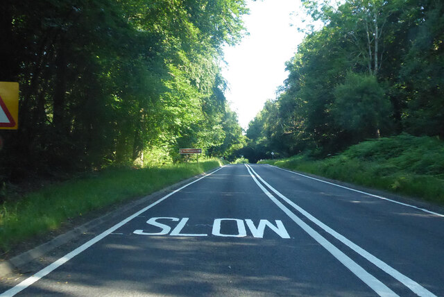
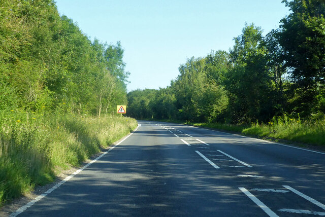
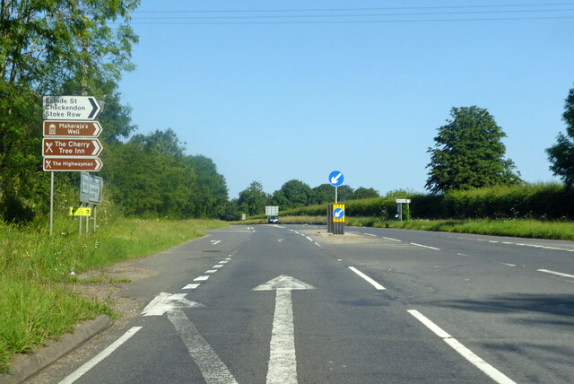
Birchen Copse Images

Images are sourced within 2km of 51.522694/-1.0637831 or Grid Reference SU6580. Thanks to Geograph Open Source API. All images are credited.

A4074 at B4526 junction Looking towards Wallingford. The side road, Deadman's Lane, heads towards Goring.
A4074 at B4526 junction
Looking towards Wallingford. The side road, Deadman's Lane, heads towards Goring.
A4074 heading north Towards Wallingford through extensive woodland.
A4074 heading north
Towards Wallingford through extensive woodland.
A4074 towards Wallingford This part is a bypass of the old route through Exlade Street.
A4074 towards Wallingford
This part is a bypass of the old route through Exlade Street.
A4074 towards Wallingford At a junction for some brown sign destinations.
A4074 towards Wallingford
At a junction for some brown sign destinations.
Direction Sign – Signpost on the B471 in Woodcote parish Located on the northwest side of the junction of the B471 Goring Road and Whitehouse Road in Woodcote parish. 3 arms and pawn finial. The Goring Heath / Reading arm had been lost by 2017.

Milestone Society National ID: OX_SU6481
Direction Sign – Signpost on the B471 in Woodcote parish
Located on the northwest side of the junction of the B471 Goring Road and Whitehouse Road in Woodcote parish. 3 arms and pawn finial. The Goring Heath / Reading arm had been lost by 2017. Milestone Society National ID: OX_SU6481
K6 telephone box and bus shelter, Cray's Pond
Bus shelter on the B4256, Cray's Pond
B4526, Cray's Pond
B4526, Cray's Pond
The White Lion, Cray's Pond Not currently open (2022).
See <a href="https://www.geograph.org.uk/photo/2829589">SU6380 : The White Lion, Crays Pond</a> for happier times.
The White Lion, Cray's Pond
Not currently open (2022). See SU6380 : The White Lion, Crays Pond for happier times.
Garage and car sales, Cray's Pond
Gated track and footpath off Goring Road
Goring Road The B471 towards Woodcote.
Goring Road
The B471 towards Woodcote.
House on Goring Road
Roadworks on Goring Road (B471)
Recreation ground, Woodcote
Village sign, Woodcote
The Red Lion, Woodcote On Goring Road.
See <a href="https://www.geograph.org.uk/photo/7246411">SU6482 : Sign for the Red Lion, Woodcote</a> for sign.
The Red Lion, Woodcote
On Goring Road. See SU6482 : Sign for the Red Lion, Woodcote for sign.
Sign for the Red Lion, Woodcote See <a href="https://www.geograph.org.uk/photo/7246410">SU6482 : The Red Lion, Woodcote</a> for context.
Sign for the Red Lion, Woodcote
Show me another place!

Birchen Copse is located at Grid Ref: SU6580 (Lat: 51.522694, Lng: -1.0637831)

Administrative County: Oxfordshire

District: South Oxfordshire

Police Authority: Thames Valley

What 3 Words

///used.serious.hypnotist. Near Pangbourne, Berkshire

Related Wikis

The Oratory School

The Oratory School () is an HMC co-educational private Roman Catholic boarding and day school for pupils aged 11–18 located in Woodcote, 6 miles (9.7 km...

Langtree School

Langtree School is a coeducational secondary school located in the village of Woodcote in South Oxfordshire, England. The school has approximately 624...

Exlade Street

Exlade Street is a hamlet in Checkendon civil parish in Oxfordshire, about 6 miles (9.7 km) northwest of Reading, in the Chiltern Hills. The hamlet is...

Crays Pond

Crays Pond is a hamlet situated in the parish of Goring Heath in South Oxfordshire. Crays Pond is about 2.4 miles (3.9 km) northeast of Goring-on-Thames...

The Oratory Preparatory School

The Oratory Prep School is a Roman Catholic day and boarding school for some 330 boys and girls aged from two to thirteen, founded in 1925. The school...

Woodcote

Woodcote is a village and civil parish in South Oxfordshire, about 5 miles (8 km) southeast of Wallingford and about 7 miles (11 km) northwest of Reading...

Whitchurch Hill

Whitchurch Hill is a village in the Chiltern Hills in Oxfordshire, about 5.5 miles (9 km) northwest of Reading, Berkshire, near Whitchurch-on-Thames. The...

Hook End Recording Studios

Hook End Recording Studios was a recording studio located in Hook End Manor, a 16th-century Elizabethan house near Checkendon, Oxfordshire, England. Its...

Nearby Amenities

Located within 500m of 51.522694,-1.0637831
Barrier: bollard
Bicycle: yes
Foot: yes
Horse: yes
Lat/Long: 51.5249291/-1.0672919
Barrier: kissing_gate
Foot: yes
Lat/Long: 51.5240592/-1.0687457
Access: no
Barrier: kissing_gate
Foot: yes
Lat/Long: 51.5232391/-1.0695283
Direction: 235
Generator Method: photovoltaic
Generator Output Electricity: yes
Generator Solar Modules: 2
Generator Source: solar
Generator Type: solar_photovoltaic_panel
Location: roof
Power: generator
Lat/Long: 51.5252688/-1.069686
Direction: 235
Generator Method: photovoltaic
Generator Output Electricity: yes
Generator Solar Modules: 2
Generator Source: solar
Generator Type: solar_photovoltaic_panel
Location: roof
Power: generator
Lat/Long: 51.5251828/-1.0695686
Direction: 235
Generator Method: photovoltaic
Generator Output Electricity: yes
Generator Solar Modules: 2
Generator Source: solar
Generator Type: solar_photovoltaic_panel
Location: roof
Power: generator
Lat/Long: 51.5251576/-1.0695385
The data included in this document is from www.openstreetmap.org. The data is made available under ODbL.

Have you been to Birchen Copse?

Leave your review of Birchen Copse below (or comments, questions and feedback).