Lacey Bottom Wood
Wood, Forest in Yorkshire
England
Lacey Bottom Wood
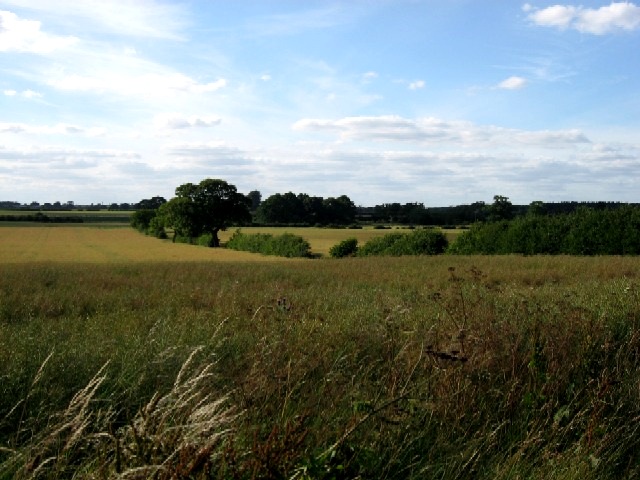
Lacey Bottom Wood, located in Yorkshire, is a picturesque forest encompassing an area of approximately 100 acres. The wood is situated in the northern part of the county, nestled within the rolling hills and scenic landscapes that Yorkshire is renowned for.
Lacey Bottom Wood is characterized by its diverse range of tree species, including oak, beech, and birch. These majestic trees create a dense canopy that provides a cool and serene atmosphere, making it an ideal destination for nature lovers and hikers alike.
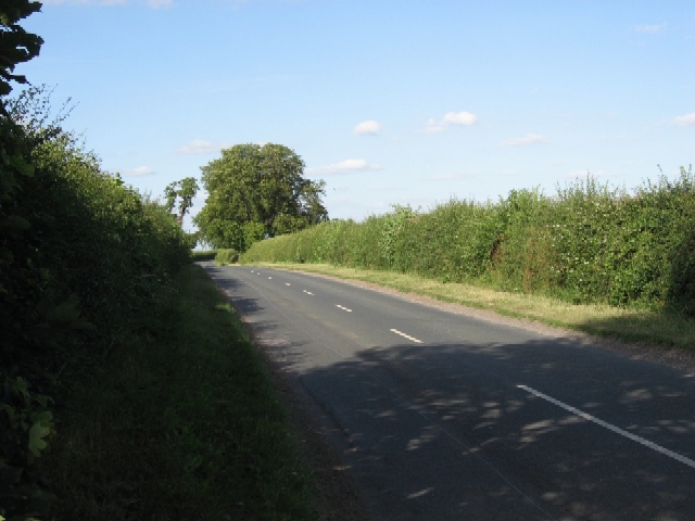
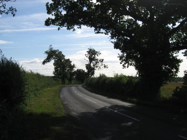
The wood is crisscrossed by a network of well-maintained trails, offering visitors the opportunity to explore its natural beauty. These pathways wind through the forest, passing by babbling brooks, wildflower meadows, and ancient woodland. Along the way, visitors may encounter various wildlife species, such as deer, foxes, and a plethora of bird species.
The wood is a designated Site of Special Scientific Interest (SSSI), owing to its rich biodiversity and unique ecosystem. The presence of rare plant species, including bluebells and wood anemones, adds to its ecological significance. Conservation efforts are in place to protect and preserve this natural habitat.
Lacey Bottom Wood is a popular destination for outdoor activities, such as hiking, birdwatching, and photography. Its tranquil atmosphere and stunning vistas make it an ideal retreat for those seeking solace in nature. The wood also offers educational opportunities, with guided tours and workshops available to learn more about the local flora and fauna.
Overall, Lacey Bottom Wood in Yorkshire is a captivating forest that showcases the beauty and diversity of the region's natural landscapes, providing visitors with an immersive and enriching outdoor experience.
If you have any feedback on the listing, please let us know in the comments section below.
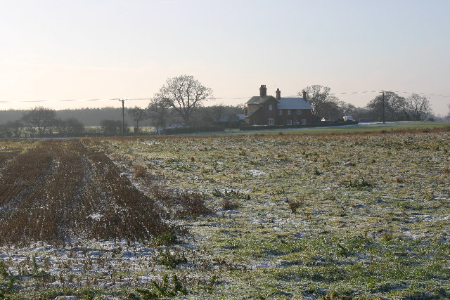
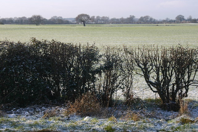
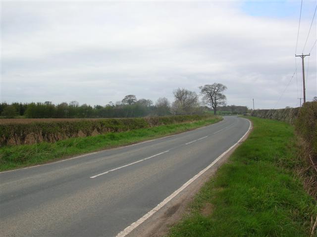
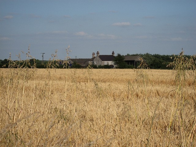
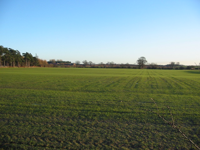
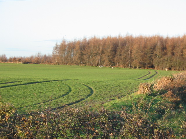
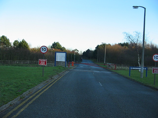
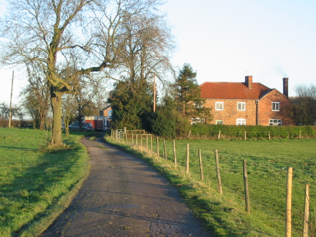
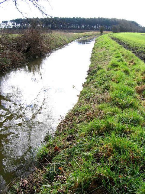
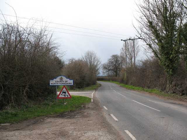
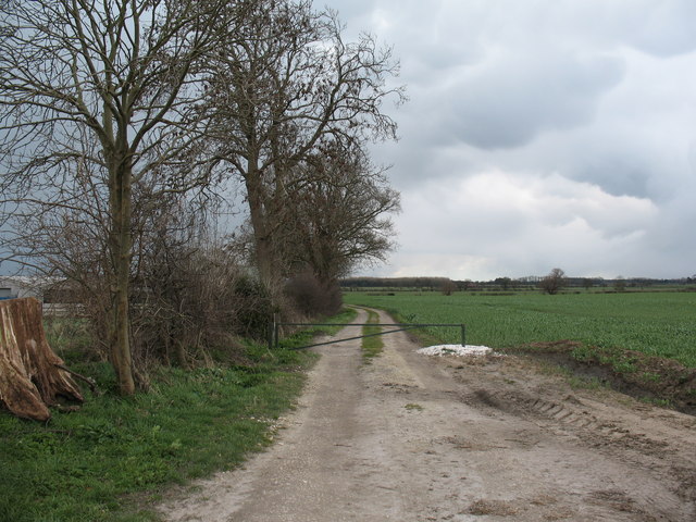
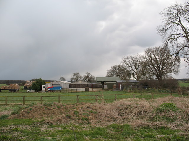
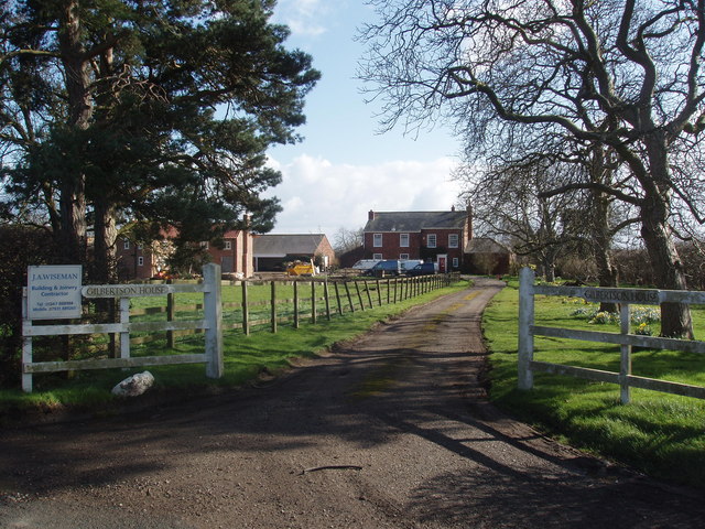
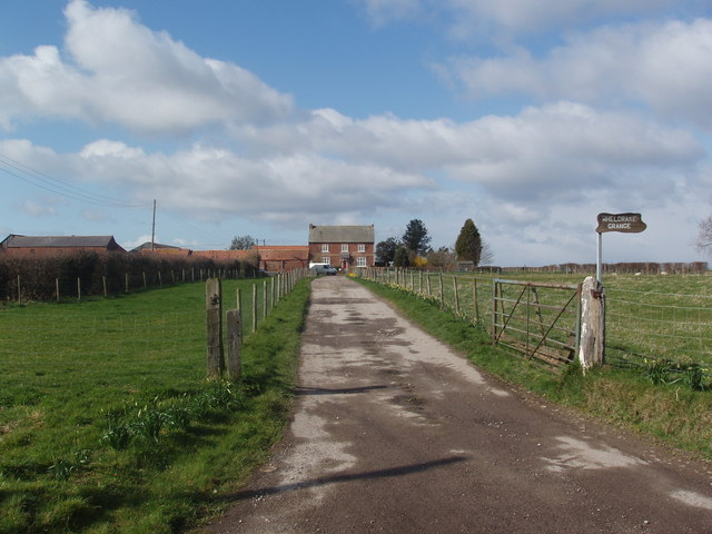
Lacey Bottom Wood Images
Images are sourced within 2km of 53.889191/-1.0061628 or Grid Reference SE6544. Thanks to Geograph Open Source API. All images are credited.
Lacey Bottom Wood is located at Grid Ref: SE6544 (Lat: 53.889191, Lng: -1.0061628)
Division: East Riding
Unitary Authority: York
Police Authority: North Yorkshire
What 3 Words
///prone.crafts.bike. Near Wheldrake, North Yorkshire
Nearby Locations
Related Wikis

Wheldrake railway station
Wheldrake railway station served the village of Wheldrake, East Riding of Yorkshire, England from 1913 to 1968 on the Derwent Valley Light Railway. �...

Deighton, York
Deighton is a village and civil parish in the unitary authority of the City of York, North Yorkshire, England. The population of the civil parish as of...

Escrick
Escrick is a village and civil parish in North Yorkshire, England. It was in the historic East Riding of Yorkshire, but since 1974 has come under North...
St Helen's Church, Escrick
St Helen's Church is the parish church of Escrick, a village south of York, in North Yorkshire, in England. A church was first recorded in Escrick in 1252...
Nearby Amenities
Located within 500m of 53.889191,-1.0061628Have you been to Lacey Bottom Wood?
Leave your review of Lacey Bottom Wood below (or comments, questions and feedback).