The Bottoms

Valley in Yorkshire

England

The Bottoms

Towards Gothic House Farm Looking SW from position
Towards Gothic House Farm Credit: Iain Macaulay

The Bottoms is a picturesque valley located in Yorkshire, England. Nestled between rolling hills and surrounded by lush countryside, it is renowned for its natural beauty and tranquil atmosphere. The valley stretches for approximately two miles and is bordered by the quaint villages of Upper Bottoms and Lower Bottoms.

The area is characterized by its stunning landscapes, with meandering rivers, dense woodlands, and expansive meadows. The Bottoms is a haven for outdoor enthusiasts, offering numerous walking and hiking trails that showcase the region's stunning scenery. Visitors can explore the valley's diverse flora and fauna, including rare wildflowers, birds, and small mammals.

The Bottoms is also known for its rich history. Dating back centuries, the area was once home to thriving mining and textile industries. Remnants of these past industries can still be seen today, with old mine entrances and textile mills serving as a reminder of the valley's industrial heritage.

In recent years, The Bottoms has become a popular tourist destination, attracting visitors from far and wide. The valley offers a range of amenities, including cozy bed and breakfasts, charming country pubs, and locally-owned shops that sell handmade crafts and local produce.

Whether it's enjoying a leisurely walk along the riverbanks, exploring the historic sites, or simply immersing oneself in the tranquility of nature, The Bottoms offers a unique and unforgettable experience for all who visit.

If you have any feedback on the listing, please let us know in the comments section below.
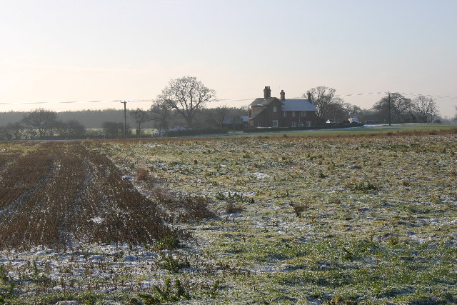
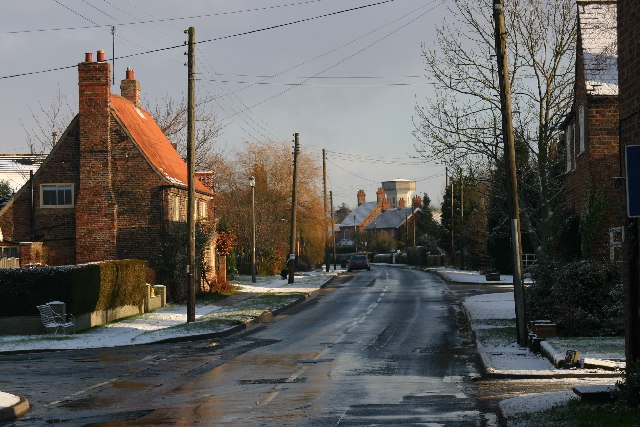
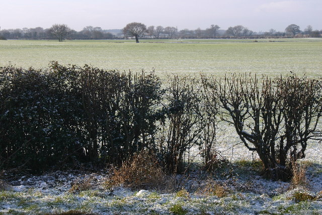
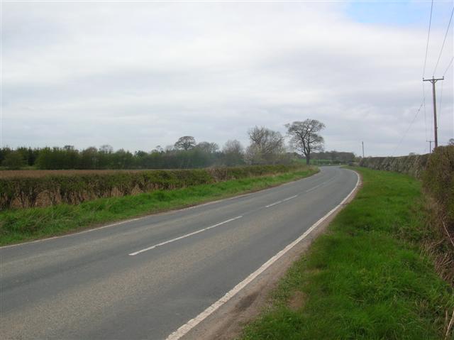
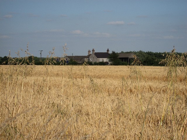
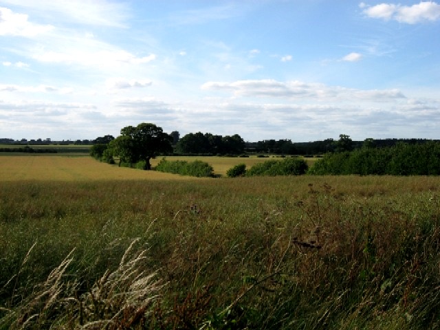
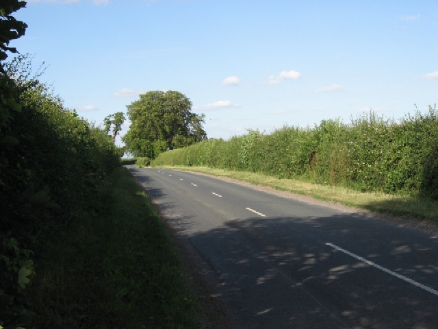
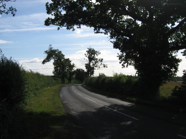
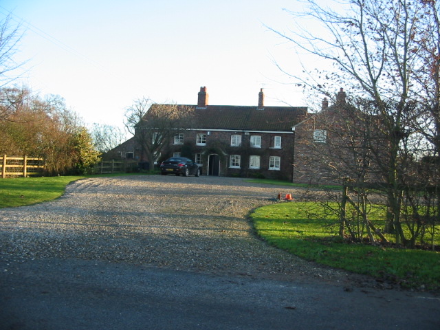
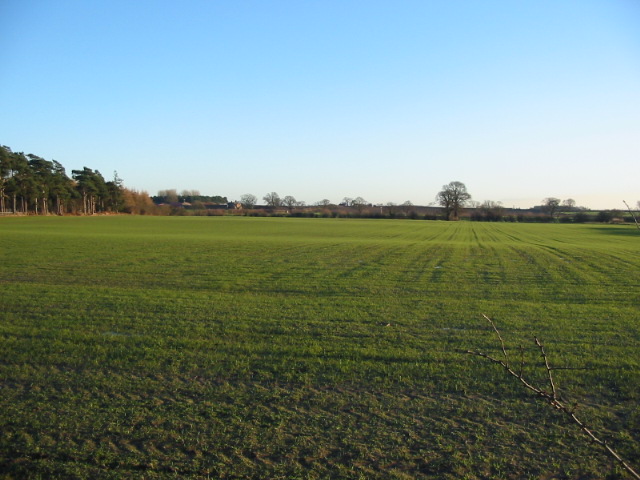
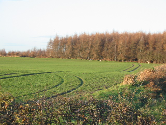
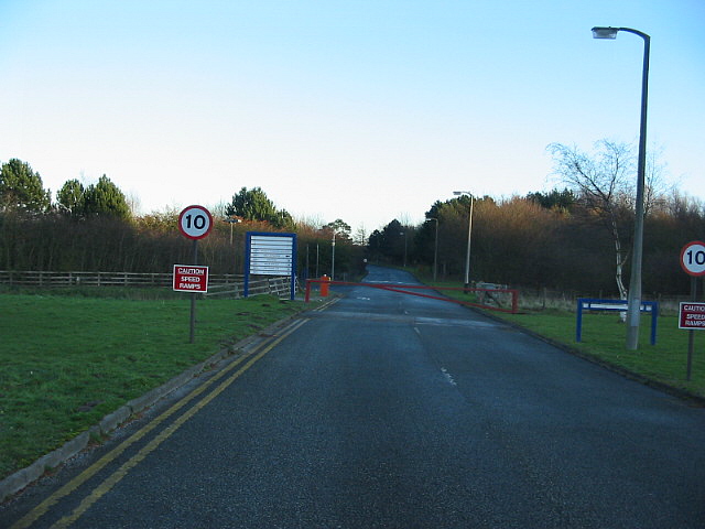
The Bottoms Images

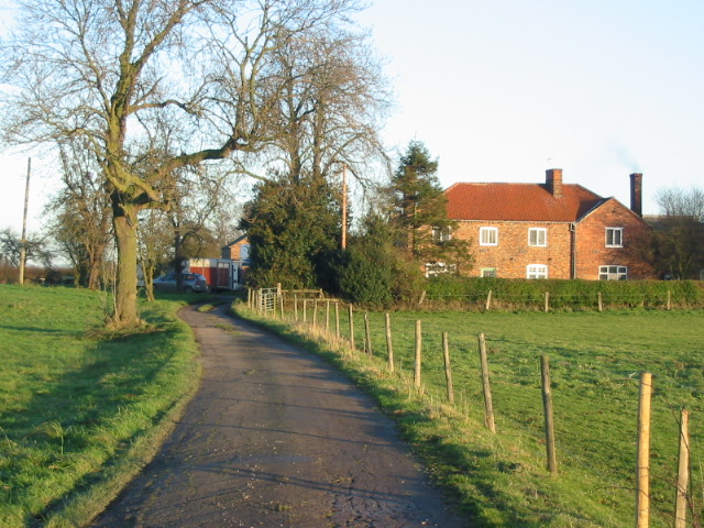
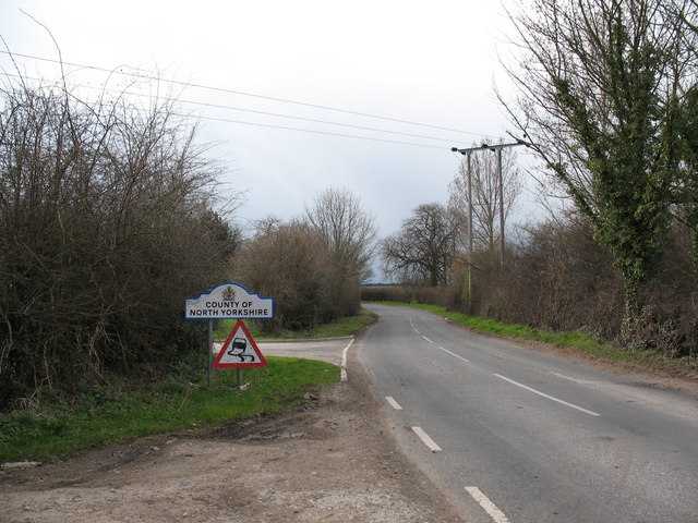
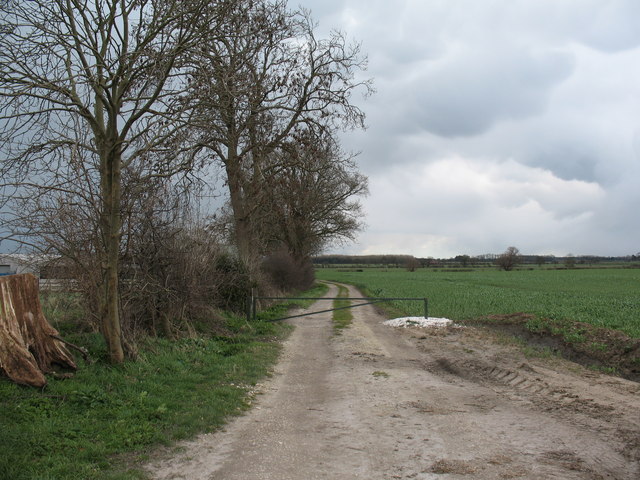
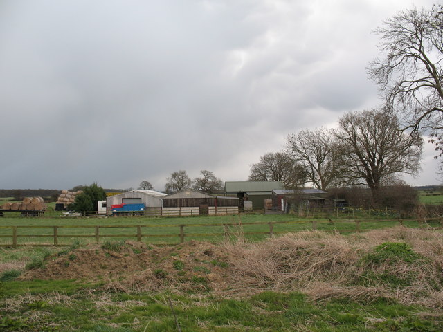
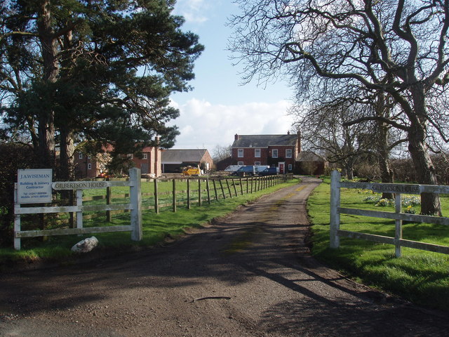
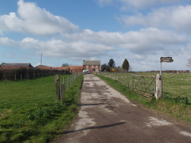
Images are sourced within 2km of 53.88907/-1.0035334 or Grid Reference SE6544. Thanks to Geograph Open Source API. All images are credited.

Towards Gothic House Farm Looking SW from position
Towards Gothic House Farm
Looking SW from position
Wheldrake Looking E from position
Wheldrake
Looking E from position
Farmland near Low Well Farm Looking W from position
Farmland near Low Well Farm
Looking W from position
Just outside Wheldrake Strong smell of wood burning around here, and the smoke can be seen in the picture. Where the tree is on the road, there is a turn off to the left called Benjy Lane.
Just outside Wheldrake
Strong smell of wood burning around here, and the smoke can be seen in the picture. Where the tree is on the road, there is a turn off to the left called Benjy Lane.
Tileshed Farm
Tileshed Farm
Deepening Shadows Looking North from Wheldrake Lane
Deepening Shadows
Looking North from Wheldrake Lane
Wheldrake Lane From Escrick towards Pocklington
Wheldrake Lane
From Escrick towards Pocklington
Wheldrake Lane approaching Escrick
Spring House Farm
Spring House Farm
Farmland near the former North Selby Mine A small herd of deer were seen near to this point on a December day.
Farmland near the former North Selby Mine
A small herd of deer were seen near to this point on a December day.
Herd of deer going into Long Wood near the former North Selby Mine
Barrier at the entrance of the now closed North Selby Mine
Warren House Farm
Warren House Farm
Wheldrake Lane North Yorkshire sign on the boundary with the City of York. Pre 1974 this was East Riding, then for nearly 30 years it was all North Yorkshire, but York has expanded its boundaries and now includes Wheldrake.
Wheldrake Lane
North Yorkshire sign on the boundary with the City of York. Pre 1974 this was East Riding, then for nearly 30 years it was all North Yorkshire, but York has expanded its boundaries and now includes Wheldrake.
Leonard Scales Lane near Wheldrake This track drops very gently towards low lying farmland from Wheldrake Lane, which follows a low W-E ridge, part of the Escrick moraine.
Leonard Scales Lane near Wheldrake
This track drops very gently towards low lying farmland from Wheldrake Lane, which follows a low W-E ridge, part of the Escrick moraine.
Farm buildings near Wheldrake Most farm buildings in this area are built along the better drained Escrick moraine ridge.
Farm buildings near Wheldrake
Most farm buildings in this area are built along the better drained Escrick moraine ridge.
Gilbertson House
Gilbertson House
Wheldrake Grange
Wheldrake Grange
Show me another place!

The Bottoms is located at Grid Ref: SE6544 (Lat: 53.88907, Lng: -1.0035334)

Division: East Riding

Unitary Authority: York

Police Authority: North Yorkshire

What 3 Words

///manual.stared.narrowest. Near Wheldrake, North Yorkshire

Related Wikis

Wheldrake railway station

Wheldrake railway station served the village of Wheldrake, East Riding of Yorkshire, England from 1913 to 1968 on the Derwent Valley Light Railway. �...

Cottingwith railway station

Cottingwith railway station served the village of East Cottingwith, East Riding of Yorkshire, England from 1913 to 1964 on the Derwent Valley Light Railway...

Deighton, York

Deighton is a village and civil parish in the unitary authority of the City of York, North Yorkshire, England. The population of the civil parish as of...

Escrick

Escrick is a village and civil parish in North Yorkshire, England. It was in the historic East Riding of Yorkshire, but since 1974 has come under North...

Nearby Amenities

Located within 500m of 53.88907,-1.0035334
Power: pole
Lat/Long: 53.8869653/-1.0067727
Power: pole
Lat/Long: 53.8880213/-1.0084356
Power: pole
Lat/Long: 53.8859504/-1.0052223
Power: pole
Lat/Long: 53.8890235/-1.009943
Power: pole
Lat/Long: 53.884711/-1.0033663
The data included in this document is from www.openstreetmap.org. The data is made available under ODbL.

Have you been to The Bottoms?

Leave your review of The Bottoms below (or comments, questions and feedback).