The Belt

Wood, Forest in Nottinghamshire Bassetlaw

England

The Belt

Ranby Trig Point Flush Bracket S1859
Ranby Trig Point Flush Bracket S1859 Credit: thejackrustles

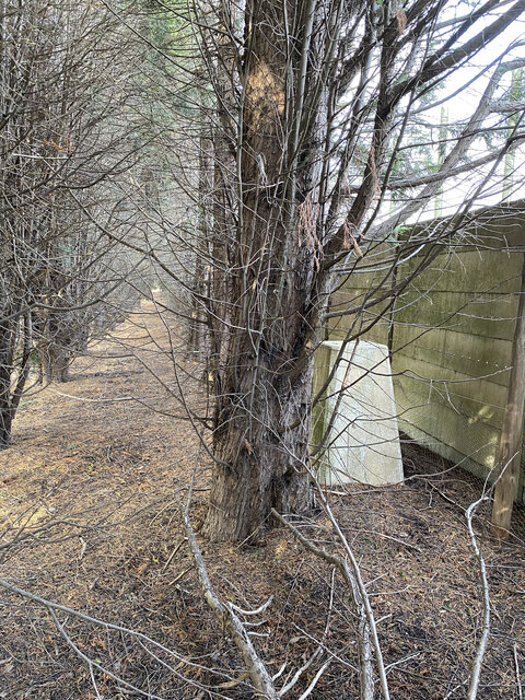
The Belt is a woodland area located in Nottinghamshire, England. Covering a total area of approximately 200 acres, it is a significant part of Sherwood Forest and is known for its rich biodiversity and historical significance. The woodland is dominated by a mixture of broadleaf and coniferous trees, creating a diverse habitat for various plant and animal species.

The Belt has a long history dating back to medieval times when it was used as a hunting ground for the royal family. This historical connection is still evident today, with remnants of the ancient hunting lodge and deer park still visible within the woodland. Visitors can explore these historical sites and get a glimpse into the rich heritage of the area.

The woodland is also popular among nature enthusiasts and outdoor enthusiasts. It offers numerous walking trails and paths, providing an opportunity for visitors to immerse themselves in the tranquility of nature. The diverse range of flora and fauna found in The Belt includes oak, birch, and beech trees, as well as various wildflowers and ferns. Birdwatchers can spot a variety of bird species, including woodpeckers, owls, and buzzards.

Furthermore, The Belt is managed and maintained by local conservation organizations to preserve its natural beauty and protect its wildlife. These efforts include controlled burning and tree planting initiatives to maintain the health and diversity of the woodland.

Overall, The Belt in Nottinghamshire is a picturesque woodland area that offers a combination of historical charm and natural beauty, making it a popular destination for both locals and tourists alike.

If you have any feedback on the listing, please let us know in the comments section below.

The Belt Images

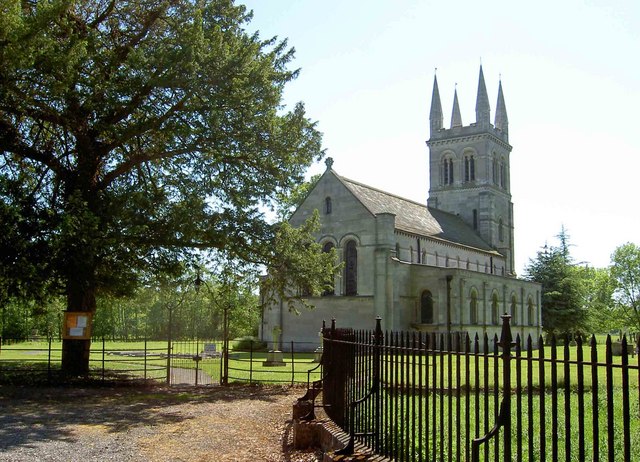
Images are sourced within 2km of 53.313956/-1.019587 or Grid Reference SK6580. Thanks to Geograph Open Source API. All images are credited.

Ranby Trig Point Flush Bracket S1859
Chesterfield Canal at Ranby The Cottage and bridge 51 on the Chesterfield Canal at Ranby
Chesterfield Canal at Ranby
The Cottage and bridge 51 on the Chesterfield Canal at Ranby
Mansfield Road heading south
Electricity Sub-Station on Mansfield Road
Path to Little Morton Farm
Track to Morton Hill Cottage
View to Great Whin Covert Across the A1.
View to Great Whin Covert
Across the A1.
On the track from Morton Hill Cottage
The A1 at Ranby, Notts. Not very interesting, but it is the main feature of the square.
The A1 at Ranby, Notts.
Not very interesting, but it is the main feature of the square.
Chequers Inn Ranby Nr Retford Notts
Lock and Keepers House Lock at Scofton on the Chesterfield Canal with the former Lockeeper's house.
Lock and Keepers House
Lock at Scofton on the Chesterfield Canal with the former Lockeeper's house.
Chesterfield Canal at Ranby Taken from the canal side where the village hall is.
Interestingly, the SK65000 Easting appears to run right down the middle of the canal for almost 1 km at this point.
Chesterfield Canal at Ranby
Taken from the canal side where the village hall is. Interestingly, the SK65000 Easting appears to run right down the middle of the canal for almost 1 km at this point.
A Ploughed Field Next to the Chesterfield Canal at Ranby
Chesterfield Canal North of Ranby The canal here is extremely clean.  Fish and freshwater mussels.  Sandy bottom, not clay like most canals means the water is very clear.
Chesterfield Canal North of Ranby
The canal here is extremely clean. Fish and freshwater mussels. Sandy bottom, not clay like most canals means the water is very clear.
Footpath leading to the Chesterfield Canal There is a public footpath leading from the old A1 road to the towpath of the Chesterfield Canal.  Go through the gate (visible from the road) and the canal is 20 yards further on.  Unfortunately the path is not marked as public and if you don't know you'd never find it.
Footpath leading to the Chesterfield Canal
There is a public footpath leading from the old A1 road to the towpath of the Chesterfield Canal. Go through the gate (visible from the road) and the canal is 20 yards further on. Unfortunately the path is not marked as public and if you don't know you'd never find it.
Entrance to Ranby CE Primary School
Ranby Church Dedicated to St. Martin
Ranby Church
Dedicated to St. Martin
Canal Bridge, Ranby It crosses the Chesterfield Canalc
Canal Bridge, Ranby
It crosses the Chesterfield Canalc
Show me another place!

The Belt is located at Grid Ref: SK6580 (Lat: 53.313956, Lng: -1.019587)

Administrative County: Nottinghamshire

District: Bassetlaw

Police Authority: Nottinghamshire

What 3 Words

///fortress.niece.pockets. Near Babworth, Nottinghamshire

Related Wikis

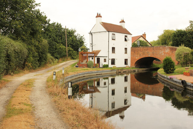
Ranby, Nottinghamshire

Ranby is a small village in the north of Nottinghamshire, next to the Chesterfield Canal and adjacent to the A1. It is in the civil parish of Babworth...

Checker House railway station

Checker House railway station was a station between Retford and Worksop, Nottinghamshire, England which served the village of Ranby from 1852 to 1931....

HM Prison Ranby

HM Prison Ranby is a Category C men's prison, located in the village of Ranby in Nottinghamshire, England. The prison is operated by His Majesty's Prison...

Scofton

Scofton is a hamlet in the Bassetlaw district of northern Nottinghamshire, England. It is 130 miles (210 km) north west of London, 25 miles (40 km) north...

Nearby Amenities

Located within 500m of 53.313956,-1.019587
Power: pole
Lat/Long: 53.3103452/-1.0178268
Power: pole
Lat/Long: 53.3113643/-1.0178538
Power: pole
Lat/Long: 53.3123806/-1.0178427
Power: pole
Lat/Long: 53.3135074/-1.0178878
Power: pole
Lat/Long: 53.31441/-1.0179001
Power: pole
Lat/Long: 53.3152183/-1.017796
Power: pole
Lat/Long: 53.3160806/-1.0176753
Power: pole
Lat/Long: 53.3169277/-1.0175682
Power: pole
Lat/Long: 53.3177458/-1.0174491
The data included in this document is from www.openstreetmap.org. The data is made available under ODbL.

Have you been to The Belt?

Leave your review of The Belt below (or comments, questions and feedback).