Butt Hole Plantation

Wood, Forest in Yorkshire Selby

England

Butt Hole Plantation

Hanger Lane, Carlton
Hanger Lane, Carlton Credit: David Brown

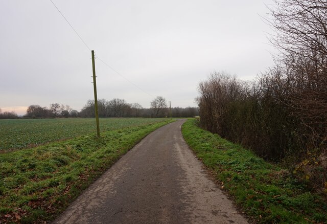
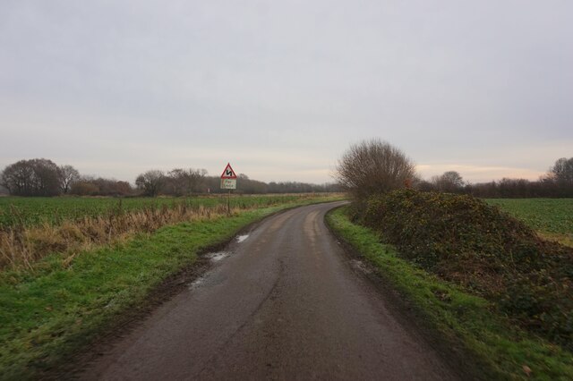
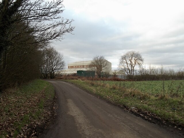
Butt Hole Plantation, located in Yorkshire, England, is a scenic woodland area renowned for its natural beauty and rich history. Situated in the heart of the county, this forested area covers an expansive stretch of land and offers a peaceful retreat for nature enthusiasts and history buffs alike.

The name "Butt Hole" may raise eyebrows, but it originates from the Old English word "butte," meaning a strip of land or boundary. Historically, this name signified a division between the forest and nearby farmland. Today, it serves as a unique reminder of the area's past.

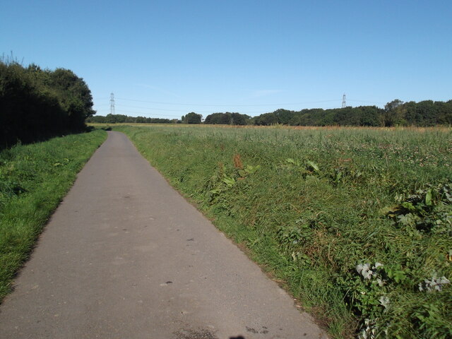
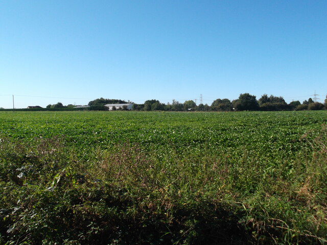
The woodland itself is abundant with a diverse range of flora and fauna, making it a haven for wildlife lovers. Ancient oak trees, beeches, and birches dominate the landscape, creating a dense canopy that provides shelter for numerous bird species, including woodpeckers, owls, and warblers. Visitors can enjoy leisurely strolls along the well-maintained trails, taking in the beauty of vibrant wildflowers, lush ferns, and moss-covered rocks.

Butt Hole Plantation is also steeped in history. It is believed to have been part of the ancient royal hunting grounds, with evidence of human activity dating back over a thousand years. Archaeological finds such as flint arrowheads and pottery shards have been discovered in the area, offering glimpses into the lives of our ancestors.

Whether you seek tranquility in the midst of nature or wish to delve into the region's past, Butt Hole Plantation in Yorkshire is a captivating destination that offers both natural beauty and historical intrigue.

If you have any feedback on the listing, please let us know in the comments section below.

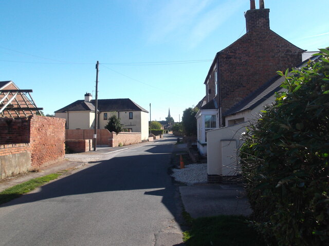
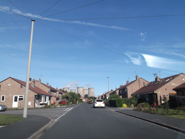
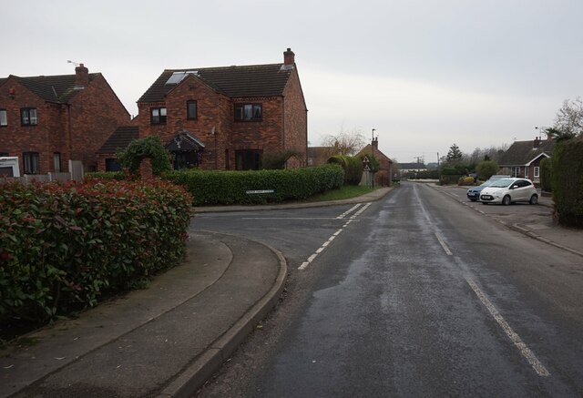
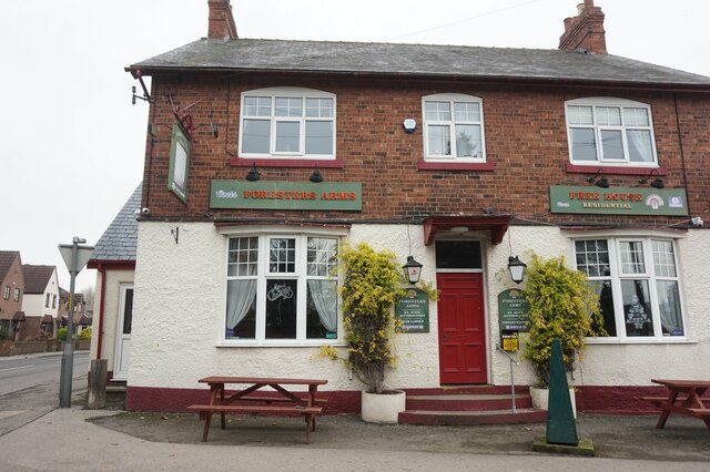
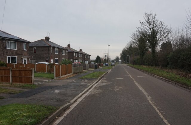
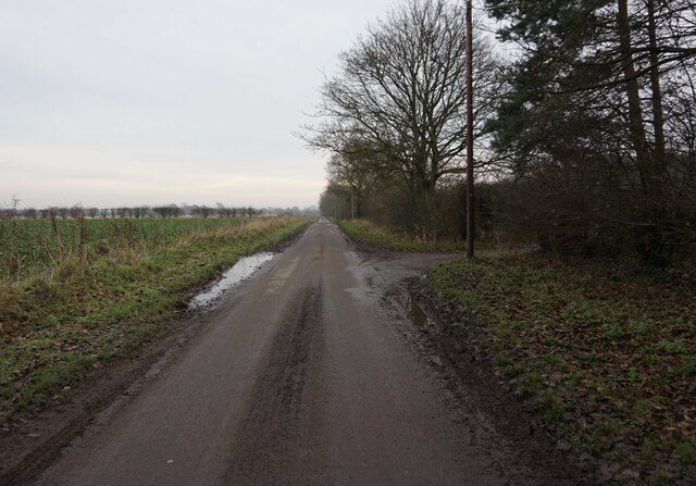
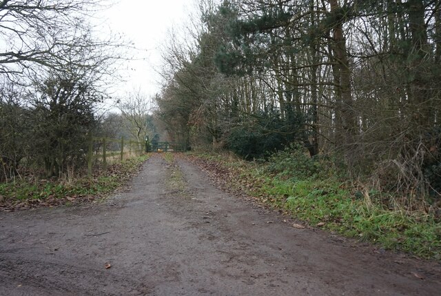
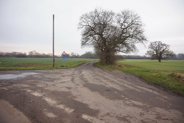
Butt Hole Plantation Images

Images are sourced within 2km of 53.708769/-1.0162214 or Grid Reference SE6524. Thanks to Geograph Open Source API. All images are credited.

Hanger Lane, Carlton
Fields and farm buildings near Carlton
Level crossing on Hanger Lane
Claypit Lane Drax dominates
Claypit Lane
Drax dominates
Low Street, Carlton
Low Street, Carlton
Pinewood Drive, Camblesforth
Hepworth Lane, Carlton
Foresters Arms public house High Street, Carlton.
Foresters Arms public house
High Street, Carlton.
Mill Lane, Carlton
Mill Lane, Carlton
Mill Lane towards Wood Lane, Newland
Entrance to Park Cottage off Mill Lane, Carlton
Ins Lane off Mill Lane, Carlton
Ings Lane off Mill Lane, Carlton
Wheels Lane towards Wood Lane, Newland
Copse south of Wheels Lane
Field track off Wheels Lane
Water Board building near Carlton
Field south of Drax
Field south of Drax
Show me another place!

Butt Hole Plantation is located at Grid Ref: SE6524 (Lat: 53.708769, Lng: -1.0162214)

Division: West Riding

Administrative County: North Yorkshire

District: Selby

Police Authority: North Yorkshire

What 3 Words

///bins.rating.snoozing. Near Camblesforth, North Yorkshire

Related Wikis

Carlton Towers

Carlton Towers in the civil parish of Carlton, 5 miles (8 km) south-east of Selby, North Yorkshire, England, is a very large Grade I listed country house...

Carlton, Selby

Carlton is a village and civil parish in southern North Yorkshire, England. The village is situated approximately 5 miles (8 km) south-east of the town...

Holy Family Catholic High School, Carlton

Holy Family Catholic High School is a coeducational Roman Catholic secondary school located in Carlton in the Selby District of North Yorkshire, England...

Carlton Towers railway station

Carlton Towers railway station served the village of Carlton, Selby, England from 1885 to 1959 on the Hull and Barnsley Railway. == History == The station...

Snaith and Cowick

Snaith and Cowick is a civil parish in the East Riding of Yorkshire, England. It is situated approximately 6 miles (9.7 km) west of the town of Goole and...

Snaith railway station

Snaith railway station is a railway station that serves the market town of Snaith in the East Riding of Yorkshire, England. It is located 26 miles (42...

Snaith Priory

Snaith Priory was a Benedictine priory in Snaith, within the East Riding of Yorkshire, England. The priory was located at the Church of St Lawrence in...

Snaith

Snaith is a market town and parish in the civil parish of Snaith and Cowick in the East Riding of Yorkshire, England. The town is close to the River Aire...

Nearby Amenities

Located within 500m of 53.708769,-1.0162214
Carlton
Created By: Potlatch 0.10f
Is In: Selby, North Yorkshire, UK
Place: village
Lat/Long: 53.7085041/-1.0218881
Fast Food
Frying Nemo
Cuisine: fish_and_chips
Website: http://www.forresters-arms.com/
Lat/Long: 53.7100183/-1.0196604
Pub
Foresters Arms
Accommodation: hotel
Internet Access: wlan
Website: http://www.forresters-arms.com/
Lat/Long: 53.7102618/-1.0197911
Post Box
Post Box Type: lamp
Ref: DN14 1
Lat/Long: 53.712295/-1.0183693
Turning Circle
Lat/Long: 53.7054855/-1.0209314
Turning Circle
Lat/Long: 53.7069775/-1.0220405
Turning Circle
Lat/Long: 53.7081332/-1.0213842
Turning Circle
Lat/Long: 53.7117965/-1.0166563
Turning Circle
Lat/Long: 53.7119803/-1.0178875
Place Of Worship
Carlton Methodist Church
Denomination: methodist
Religion: christian
Lat/Long: 53.7072891/-1.0204619
Foresters Arms
Tourism: hotel
Lat/Long: 53.7102228/-1.0197688
Place: farm
Lat/Long: 53.7101741/-1.0107272
Post Box
Post Box Type: pillar
Ref: DN14 48
Royal Cypher: EIIR
Royal Cypher Wikidata: Q33102113
Lat/Long: 53.709344/-1.0205478
Noexit: yes
Lat/Long: 53.7121439/-1.0211288
Carlton War Memorial
Historic: memorial
Material: stone
Memorial: war_memorial
Operator: Carlton Parish Council
Lat/Long: 53.7097309/-1.0199347
Generator Method: photovoltaic
Generator Output Electricity: yes
Generator Source: solar
Generator Type: solar_photovoltaic_panel
Power: generator
Lat/Long: 53.7120073/-1.0206046
Generator Method: photovoltaic
Generator Output Electricity: yes
Generator Source: solar
Generator Type: solar_photovoltaic_panel
Power: generator
Lat/Long: 53.7120088/-1.0207462
Generator Method: photovoltaic
Generator Output Electricity: yes
Generator Source: solar
Generator Type: solar_photovoltaic_panel
Power: generator
Lat/Long: 53.7120198/-1.0208931
Generator Method: photovoltaic
Generator Output Electricity: yes
Generator Source: solar
Generator Type: solar_photovoltaic_panel
Power: generator
Lat/Long: 53.7120214/-1.0210408
Generator Method: photovoltaic
Generator Output Electricity: yes
Generator Source: solar
Generator Type: solar_photovoltaic_panel
Power: generator
Lat/Long: 53.7124266/-1.0205465
Generator Method: photovoltaic
Generator Output Electricity: yes
Generator Source: solar
Generator Type: solar_photovoltaic_panel
Power: generator
Lat/Long: 53.7124275/-1.020414
Bus Stop
Bus: yes
Naptan AtcoCode: 3200YNA00096
Naptan NaptanCode: 32000096
Public Transport: platform
Lat/Long: 53.7117789/-1.0195503
Public Transport: stop_position
Lat/Long: 53.7117755/-1.0196693
Noexit: yes
Lat/Long: 53.7121558/-1.0210031
Generator Method: photovoltaic
Generator Output Electricity: yes
Generator Source: solar
Generator Type: solar_photovoltaic_panel
Power: generator
Lat/Long: 53.7110321/-1.021542
Generator Method: photovoltaic
Generator Output Electricity: yes
Generator Source: solar
Generator Type: solar_photovoltaic_panel
Power: generator
Lat/Long: 53.710991/-1.0218414
Generator Method: photovoltaic
Generator Output Electricity: yes
Generator Source: solar
Generator Type: solar_photovoltaic_panel
Power: generator
Lat/Long: 53.7112047/-1.0219099
Entrance: yes
Lat/Long: 53.7084375/-1.0231048
Defibrillator
Defibrillator Location: outside Carlton Village Hall
Emergency: defibrillator
Indoor: no
Lat/Long: 53.708439/-1.0231692
The data included in this document is from www.openstreetmap.org. The data is made available under ODbL.

Have you been to Butt Hole Plantation?

Leave your review of Butt Hole Plantation below (or comments, questions and feedback).