Adler's Plantation
Wood, Forest in Yorkshire Selby
England
Adler's Plantation
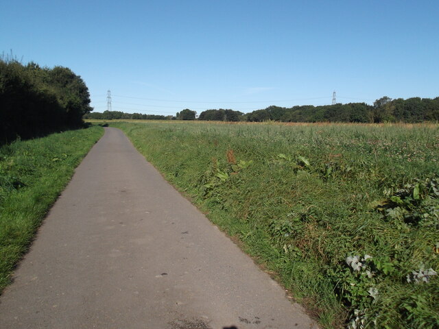
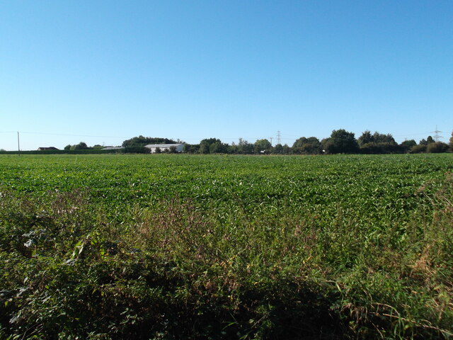
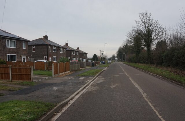
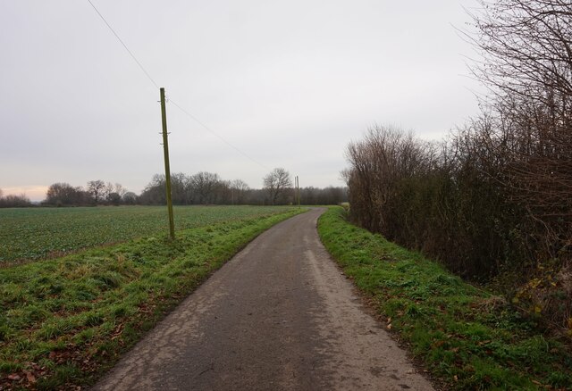
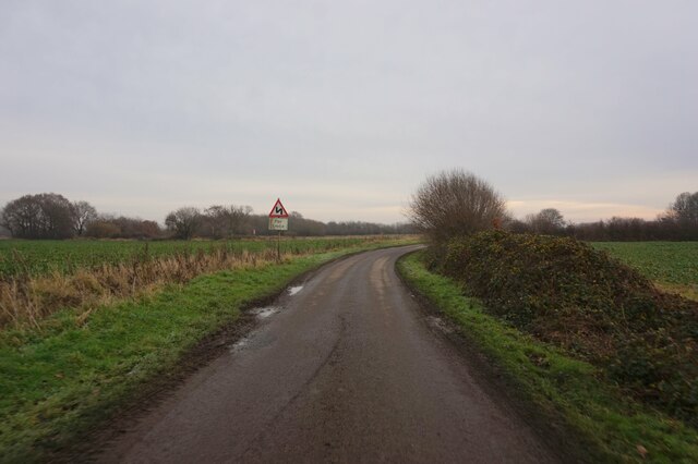
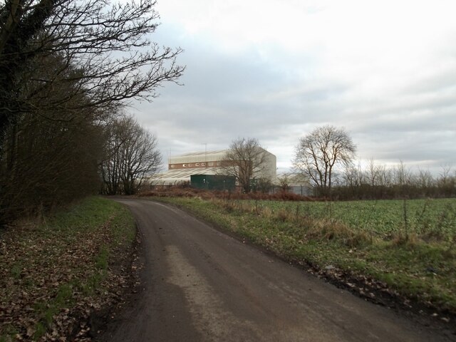
Adler's Plantation, located in Yorkshire, England, is a picturesque woodland area that spans across a vast expanse of land. Known for its dense forest and abundant wildlife, the plantation offers visitors a tranquil retreat from the hustle and bustle of city life.
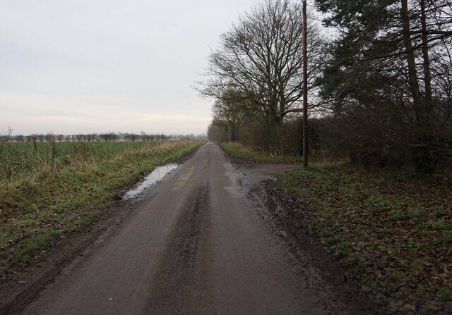
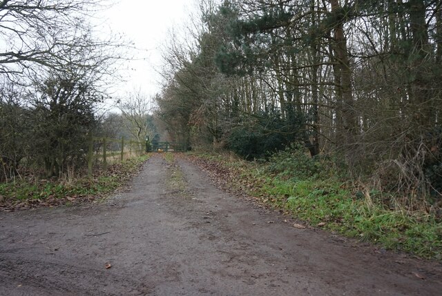
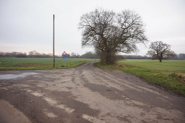
The woodland is predominantly composed of a variety of trees, including oak, beech, and birch, which create a dense canopy that filters sunlight and creates a cool, shaded environment below. This makes Adler's Plantation an ideal destination for nature enthusiasts and hikers who enjoy exploring the great outdoors.
The forest is home to a diverse range of wildlife, including various species of birds, deer, and small mammals. Birdwatchers will be delighted to spot colorful species such as woodpeckers, thrushes, and owls, while lucky visitors may even catch a glimpse of roe deer or foxes roaming freely through the undergrowth.
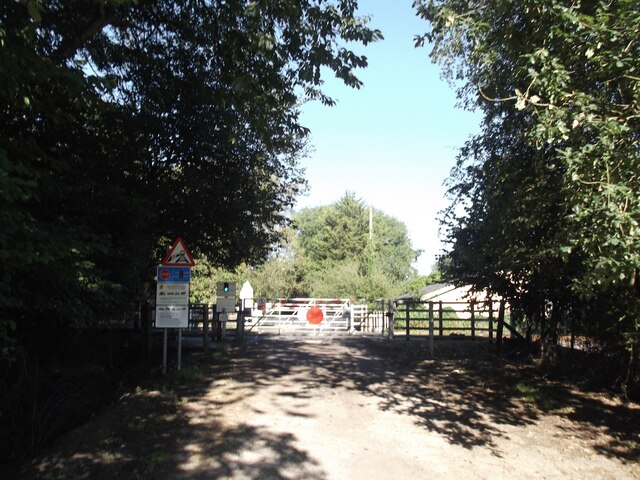
Trails and footpaths crisscross the plantation, allowing visitors to explore the woodland at their own pace. These well-maintained paths cater to all levels of fitness and offer opportunities for leisurely strolls or more challenging hikes. Along the way, walkers can enjoy the sights and sounds of the natural surroundings, with the gentle rustling of leaves and the scent of wildflowers filling the air.
Adler's Plantation also boasts a visitor center, where guests can learn more about the history and ecology of the woodland. The center provides educational exhibits, guided tours, and workshops, making it an ideal destination for families and school groups looking to expand their knowledge of the natural world.
Overall, Adler's Plantation in Yorkshire offers a serene and captivating experience, allowing visitors to immerse themselves in the beauty of nature and enjoy the tranquility of the forest.
If you have any feedback on the listing, please let us know in the comments section below.
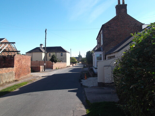
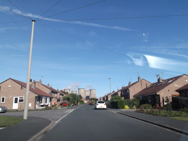
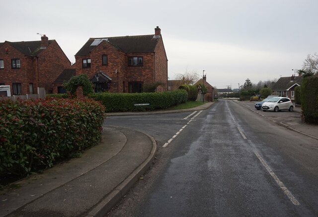
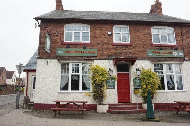
Adler's Plantation Images
Images are sourced within 2km of 53.708842/-1.0141592 or Grid Reference SE6524. Thanks to Geograph Open Source API. All images are credited.


Adler's Plantation is located at Grid Ref: SE6524 (Lat: 53.708842, Lng: -1.0141592)
Division: West Riding
Administrative County: North Yorkshire
District: Selby
Police Authority: North Yorkshire
What 3 Words
///leopard.refusals.informal. Near Camblesforth, North Yorkshire
Related Wikis

Carlton Towers
Carlton Towers in the civil parish of Carlton, 5 miles (8 km) south-east of Selby, North Yorkshire, England, is a very large Grade I listed country house...

Carlton, Selby
Carlton is a village and civil parish in southern North Yorkshire, England. The village is situated approximately 5 miles (8 km) south-east of the town...

Holy Family Catholic High School, Carlton
Holy Family Catholic High School is a coeducational Roman Catholic secondary school located in Carlton in the Selby District of North Yorkshire, England...

Carlton Towers railway station
Carlton Towers railway station served the village of Carlton, Selby, England from 1885 to 1959 on the Hull and Barnsley Railway. == History == The station...

Snaith and Cowick
Snaith and Cowick is a civil parish in the East Riding of Yorkshire, England. It is situated approximately 6 miles (9.7 km) west of the town of Goole and...

Snaith railway station
Snaith railway station is a railway station that serves the market town of Snaith in the East Riding of Yorkshire, England. It is located 26 miles (42...
Snaith Priory
Snaith Priory was a Benedictine priory in Snaith, within the East Riding of Yorkshire, England. The priory was located at the Church of St Lawrence in...

Snaith
Snaith is a market town and parish in the civil parish of Snaith and Cowick in the East Riding of Yorkshire, England. The town is close to the River Aire...
Nearby Amenities
Located within 500m of 53.708842,-1.0141592Have you been to Adler's Plantation?
Leave your review of Adler's Plantation below (or comments, questions and feedback).