Port Copse Plantation
Wood, Forest in Hampshire Winchester
England
Port Copse Plantation

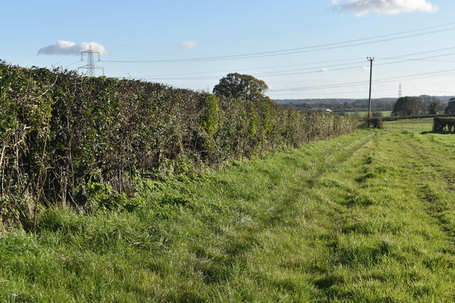
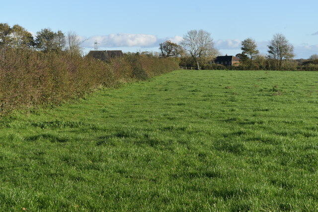
Port Copse Plantation is a picturesque woodland located in Hampshire, England. Covering an area of approximately 100 acres, it is a popular destination for nature lovers and outdoor enthusiasts. The plantation is characterized by its dense forest, towering trees, and diverse wildlife.
The woodland is predominantly composed of broadleaf trees, including oak, beech, and ash, which create a rich and vibrant canopy. This dense foliage provides a habitat for a wide variety of bird species, such as woodpeckers, warblers, and owls. Additionally, the woodland floor is adorned with an array of wildflowers and ferns during the spring and summer months.
Port Copse Plantation offers several walking trails, allowing visitors to explore the woodland at their own pace. These trails provide opportunities to observe the local flora and fauna, as well as enjoy the tranquil surroundings. The plantation also offers designated picnic areas, making it an ideal location for a family day out.
The woodland is carefully managed by the Hampshire Wildlife Trust, ensuring the preservation of its natural beauty and biodiversity. Conservation efforts include regular tree planting and maintenance, as well as the creation of wildlife habitats. The plantation is also home to a diverse range of small mammals, such as badgers, foxes, and deer, which can often be spotted by keen-eyed visitors.
Overall, Port Copse Plantation offers a peaceful retreat from the hustle and bustle of everyday life. Its stunning natural scenery, abundant wildlife, and well-maintained trails make it a must-visit destination for nature enthusiasts and those seeking solace in the beauty of the Hampshire countryside.
If you have any feedback on the listing, please let us know in the comments section below.
Port Copse Plantation Images
Images are sourced within 2km of 50.917252/-1.0761947 or Grid Reference SU6513. Thanks to Geograph Open Source API. All images are credited.


Port Copse Plantation is located at Grid Ref: SU6513 (Lat: 50.917252, Lng: -1.0761947)
Administrative County: Hampshire
District: Winchester
Police Authority: Hampshire
What 3 Words
///similar.masts.hers. Near Denmead, Hampshire
Nearby Locations
Related Wikis

Hambledon, Hampshire
Hambledon is a small village and civil parish in the county of Hampshire in England, situated about 10 miles (16 km) north of Portsmouth within the South...
Denmead
Denmead is a village in Hampshire near Portsmouth, England. It is part of the City of Winchester district. As of 2005, it had a population of 6,457 and...

Newlands, Hampshire
Newlands is a civil parish in Hampshire, England, in the south-east of the local government district of the City of Winchester. It is composed of the parts...
Anthill Common
Anthill Common is a village in Hampshire, England. == External links == Media related to Anthill Common at Wikimedia Commons
Worlds End, Hampshire
Worlds End is a small village in the civil parish of Denmead in the City of Winchester district of Hampshire, England. The village is about 7 miles (11...
Windmill Down
Windmill Down is a rural location near the town of Hambledon in Hampshire. From 1782 to 1795, it was the home of the Hambledon Club as a noted cricket...
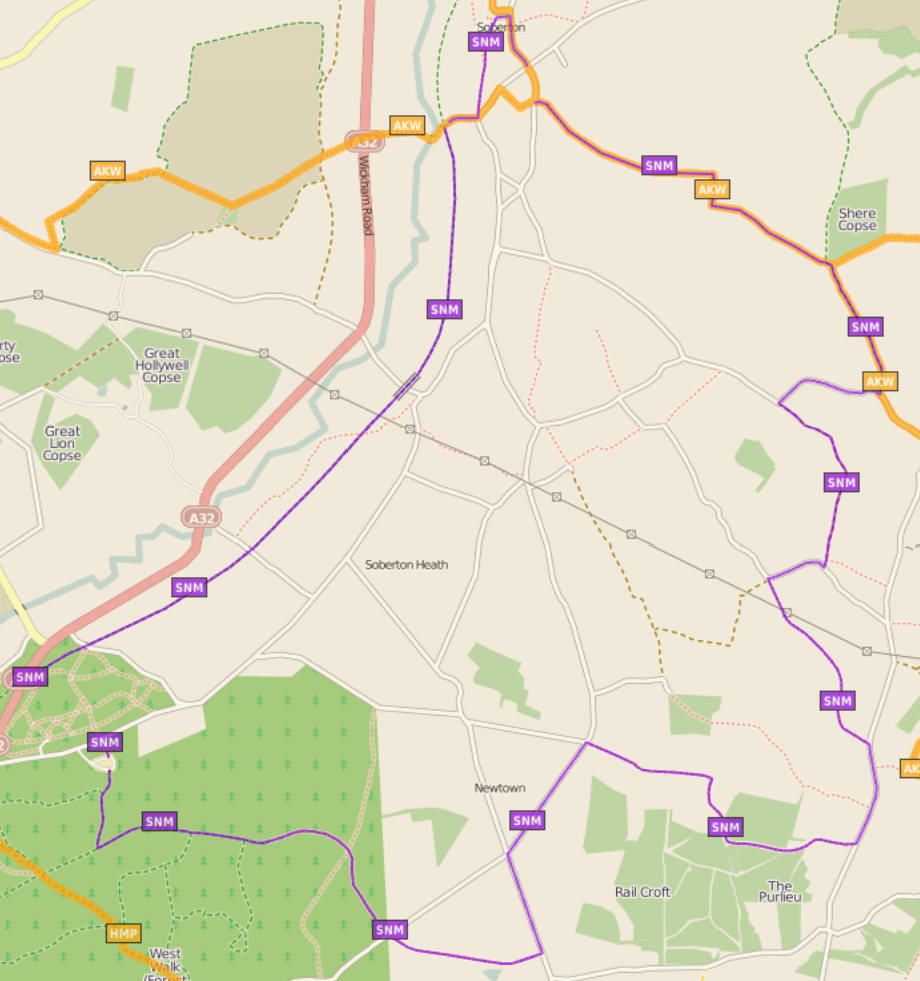
Soberton and Newtown Millennium Walk 2000
The Soberton and Newtown Millennium Walk 2000 is a 10-mile circular footpath through Hampshire, England around villages of Soberton and Newtown. Sections...
Hinton Daubney
Hinton Daubney is a small hamlet in Hampshire, England, located between Catherington and Hambledon. It is the site of one of the earliest recorded sightings...
Nearby Amenities
Located within 500m of 50.917252,-1.0761947Have you been to Port Copse Plantation?
Leave your review of Port Copse Plantation below (or comments, questions and feedback).