Eagle Barnsdale
Settlement in Lincolnshire North Kesteven
England
Eagle Barnsdale
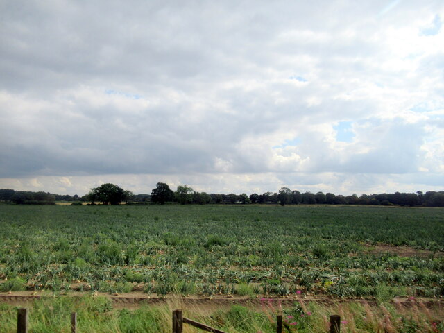
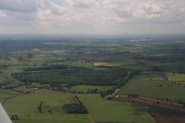
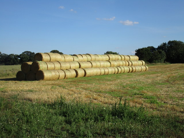
Eagle Barnsdale is a small village located in the county of Lincolnshire, England. Situated approximately 9 miles north of the city of Lincoln, the village lies within the district of North Kesteven. Eagle Barnsdale is a rural settlement, surrounded by picturesque countryside and farmland.
The village is characterized by its charming and quaint atmosphere, with a population of around 300 residents. The history of Eagle Barnsdale can be traced back to the Anglo-Saxon period, and evidence of its past can still be seen in the architecture of some buildings, such as the St. Andrew's Church, which dates back to the 12th century.
Despite its small size, Eagle Barnsdale boasts a strong sense of community, with several local amenities available to residents. These include a village hall, a primary school, a post office, and a pub. The village also has a number of sports clubs and recreational facilities, providing opportunities for residents to engage in activities such as cricket and football.
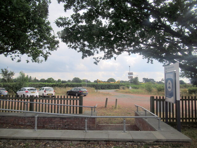
Eagle Barnsdale benefits from its proximity to the city of Lincoln, which offers a wider range of amenities and services. The village is well-connected to the city and other nearby towns through road links, making it easily accessible for both residents and visitors.
Overall, Eagle Barnsdale is a charming and peaceful village, offering a tranquil rural lifestyle while still providing access to the amenities and services of nearby towns and cities.
If you have any feedback on the listing, please let us know in the comments section below.
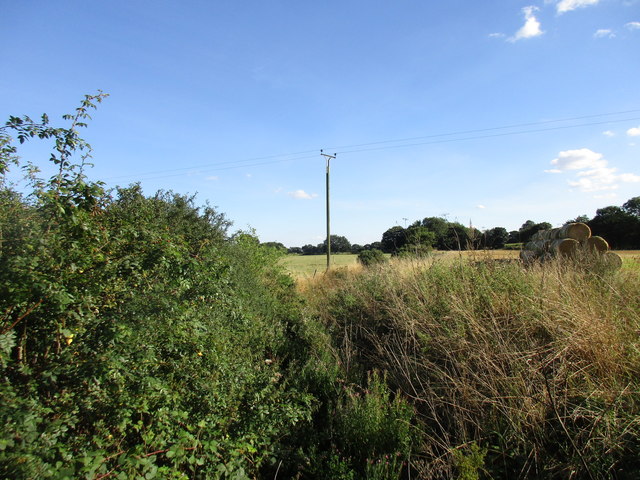
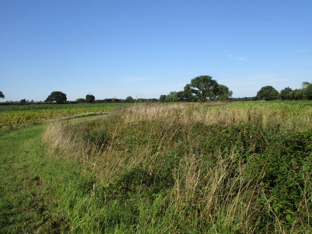
Eagle Barnsdale Images
Images are sourced within 2km of 53.178855/-0.685066 or Grid Reference SK8765. Thanks to Geograph Open Source API. All images are credited.


Eagle Barnsdale is located at Grid Ref: SK8765 (Lat: 53.178855, Lng: -0.685066)
Division: Parts of Kesteven
Administrative County: Lincolnshire
District: North Kesteven
Police Authority: Lincolnshire
What 3 Words
///peanut.restores.grief. Near North Collingham, Nottinghamshire
Nearby Locations
Related Wikis

Eagle Barnsdale
Eagle Barnsdale is a village in the North Kesteven district of Lincolnshire, England. The population can be found included in the civil parish of Eagle...
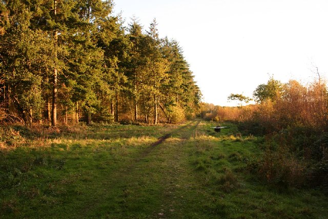
Tunman Wood
Tunman Wood is a local nature reserve with an area of over 53 ha (130 acres) located near Eagle Barnsdale, Lincolnshire. It is an area of ancient woodland...
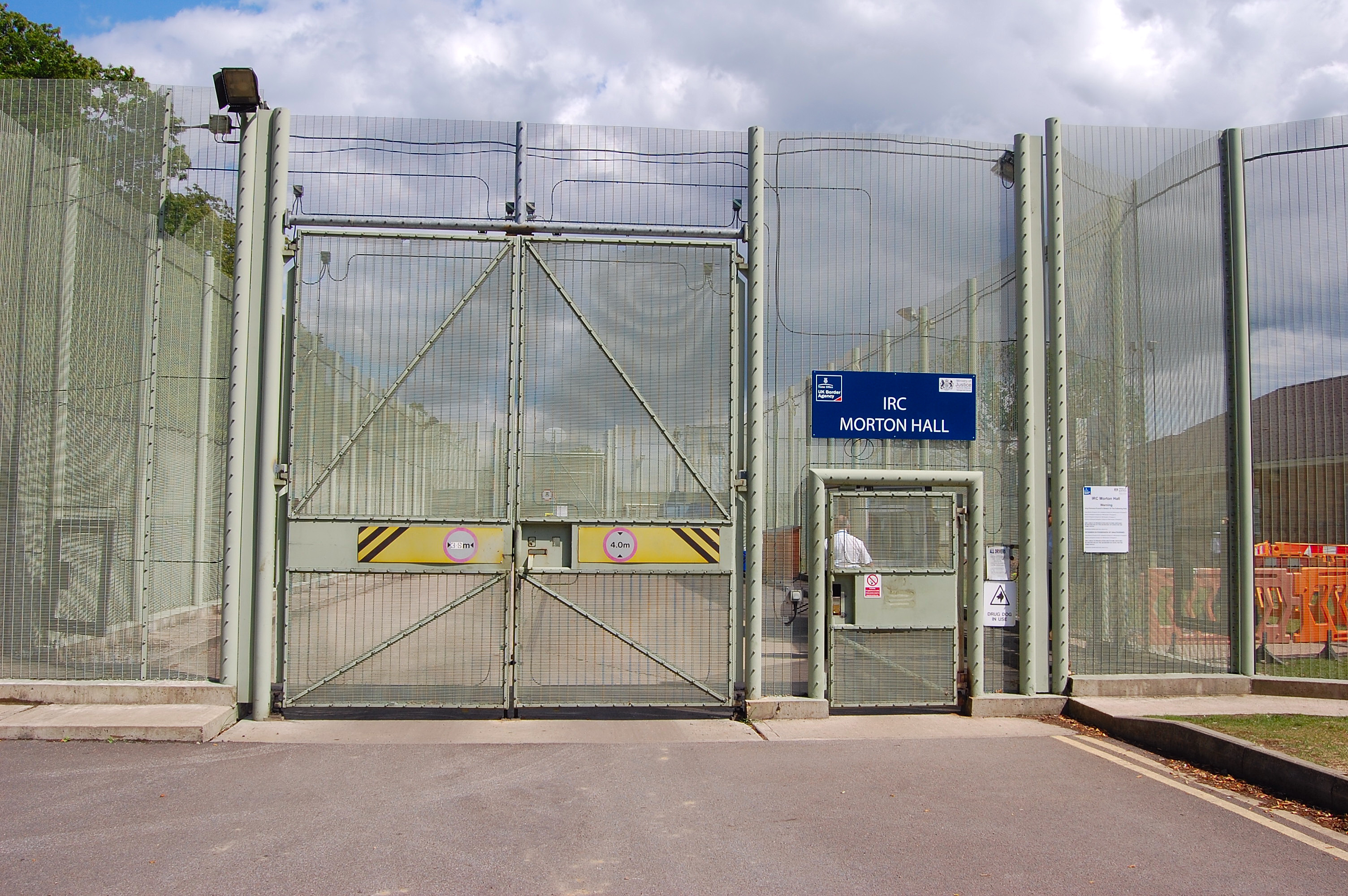
HM Prison Morton Hall
HM Prison Morton Hall is a Category C men's prison, located in the village of Morton Hall (near Lincoln) in Lincolnshire, England. The centre is operated...

Morton Hall
Morton Hall is a small village in the civil parish of Swinderby , in the North Kesteven district of Lincolnshire, England. It is situated 8 miles (13 km...
Nearby Amenities
Located within 500m of 53.178855,-0.685066Have you been to Eagle Barnsdale?
Leave your review of Eagle Barnsdale below (or comments, questions and feedback).