Brocas Plantation
Wood, Forest in Berkshire
England
Brocas Plantation
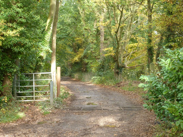
Brocas Plantation is a picturesque woodland area situated in the county of Berkshire, England. Covering an expansive area, it is located near the town of Eton and is known for its natural beauty and rich biodiversity. The plantation is named after the Brocas family, who owned the land during the medieval period.
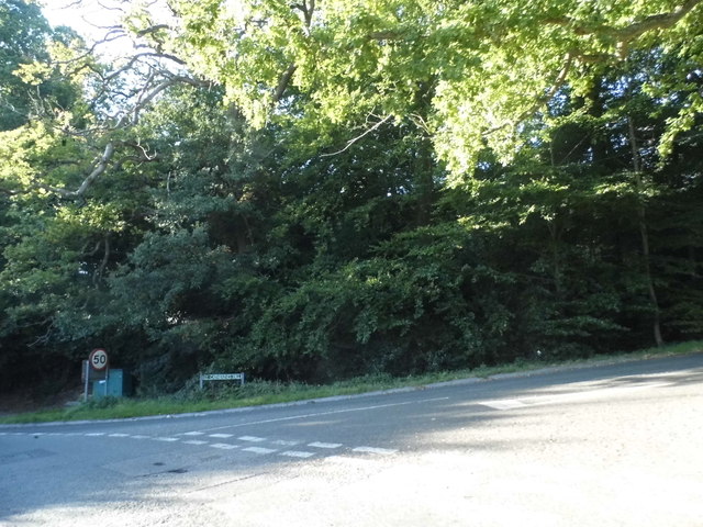
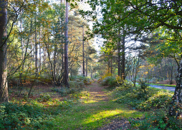
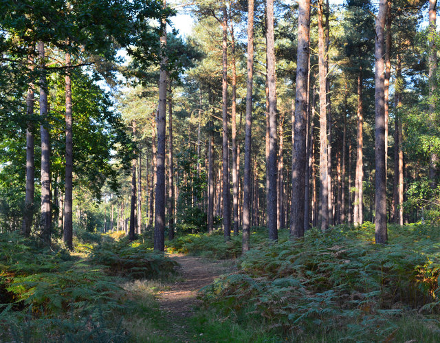
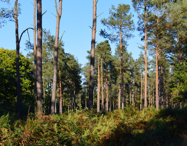
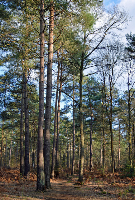
The woodland at Brocas Plantation is dominated by a variety of tree species, including oak, beech, and birch. These majestic trees create a dense canopy, providing shade and shelter for a diverse range of flora and fauna. The forest floor is carpeted with an assortment of wildflowers, ferns, and mosses, adding to the enchanting atmosphere of the woodland.
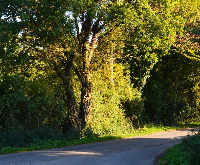
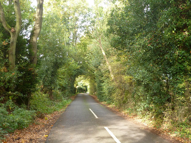
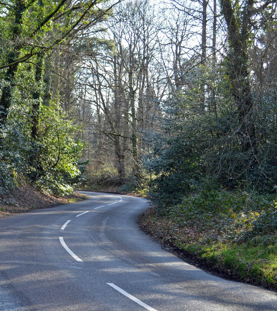
The plantation offers a tranquil retreat for nature enthusiasts, hikers, and birdwatchers. The network of well-maintained footpaths allows visitors to explore the woodland and discover its hidden gems, such as secluded ponds and small streams. The area is also home to a wide array of wildlife, including deer, foxes, and various bird species, making it a popular spot for wildlife spotting and photography.
Brocas Plantation has a rich history, with evidence of human settlement dating back to prehistoric times. The woodland has been managed by the local authorities to preserve its natural beauty and ecological importance. Visitors are encouraged to follow the designated paths and respect the delicate ecosystem of the plantation.
Overall, Brocas Plantation is a captivating destination that showcases the natural beauty and biodiversity of Berkshire. Whether it's a leisurely stroll or an immersive exploration, this woodland offers a peaceful sanctuary for those seeking to connect with nature.
If you have any feedback on the listing, please let us know in the comments section below.
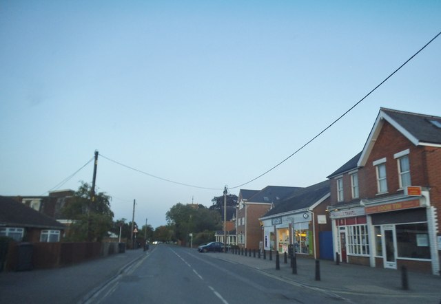
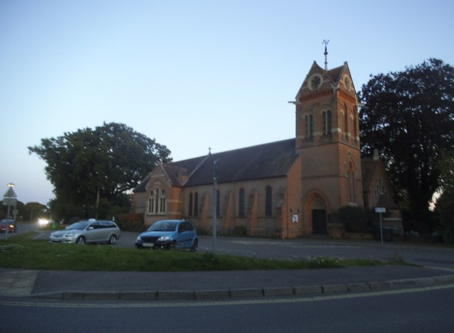
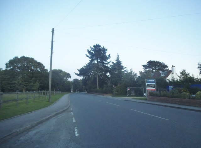
Brocas Plantation Images
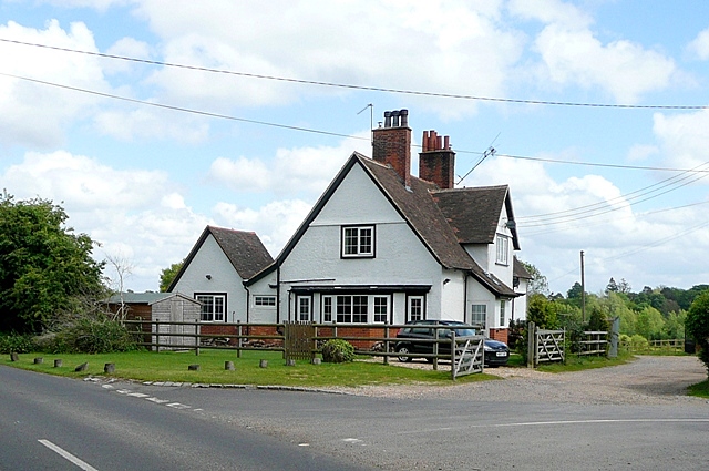
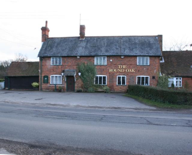
Images are sourced within 2km of 51.38717/-1.0739949 or Grid Reference SU6465. Thanks to Geograph Open Source API. All images are credited.


Brocas Plantation is located at Grid Ref: SU6465 (Lat: 51.38717, Lng: -1.0739949)
Unitary Authority: West Berkshire
Police Authority: Thames Valley
What 3 Words
///alive.saints.stress. Near Stratfield Mortimer, Berkshire
Nearby Locations
Related Wikis

The Willink School
The Willink School is a comprehensive community school in Burghfield Common, Berkshire, United Kingdom. Founded in 1957, the school is co-educational and...

Mortimer Common
Mortimer Common, generally referred to as Mortimer, is a village in the civil parish of Stratfield Mortimer in Berkshire. Mortimer is in the local government...

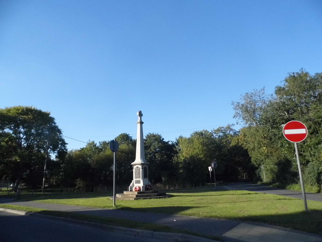
Mortimer War Memorial
The Mortimer War Memorial is a monument that commemorates the lives of soldiers from Stratfield Mortimer, Berkshire, England, who were killed in war....
Great Auclum National Speed Hill Climb
Great Auclum National Speed Hill Climb was a motorcar course close to Burghfield Common in the English county of Berkshire. It was based in the grounds...

Ufton Nervet
Ufton Nervet is a village and civil parish in West Berkshire, England centred 6 miles (10 km) west southwest of the large town of Reading and 7 miles east...
Goddard's Green, Berkshire
Goddard's Green is a hamlet and part of the civil parish of Wokefield in Berkshire, England. The settlement lies between the villages of Burghfield Common...

Mortimer West End
Mortimer West End is a village and civil parish in north Hampshire in England. It lies in the northernmost point of the county. == History == At one time...
Padworth Common
Padworth Common is a hamlet and common in the English county of Berkshire, within the civil parish of Padworth. It is bounded by Burghfield to the east...
Nearby Amenities
Located within 500m of 51.38717,-1.0739949Have you been to Brocas Plantation?
Leave your review of Brocas Plantation below (or comments, questions and feedback).