Long Moor
Wood, Forest in Berkshire
England
Long Moor
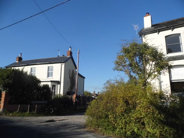
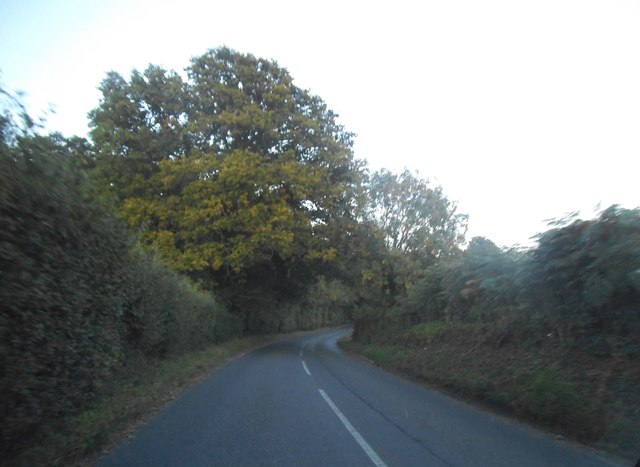
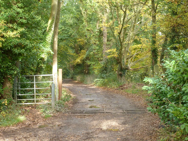
Long Moor is a picturesque woodland located in the county of Berkshire, England. Situated on the eastern edge of the county, it spans an area of approximately 200 acres, making it an ideal destination for nature enthusiasts and outdoor lovers.
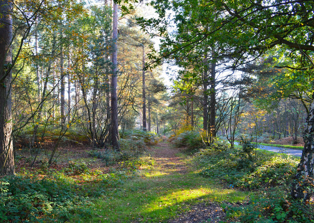
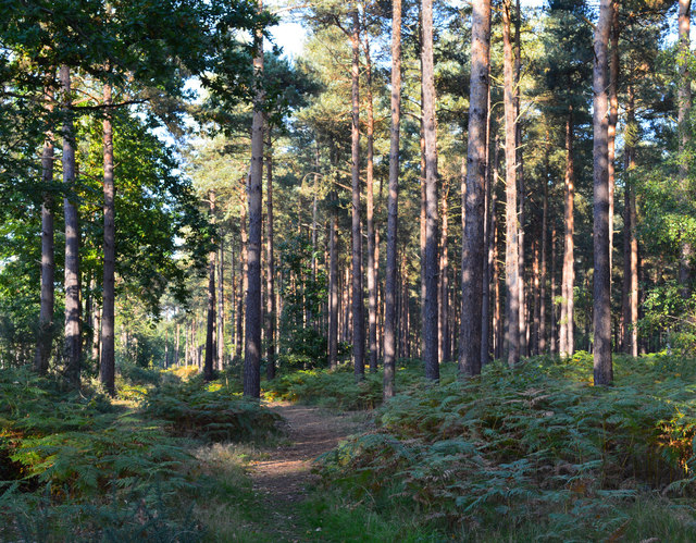
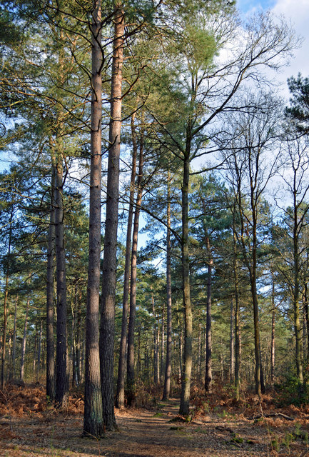
The moor is predominantly covered in dense, lush forest, characterized by a mix of broadleaf and coniferous trees. This rich woodland ecosystem provides a habitat for a diverse range of flora and fauna, including oak, beech, and birch trees, as well as a variety of bird species, small mammals, and insects.
The forest offers a tranquil and peaceful atmosphere, making it a popular spot for walking, hiking, and birdwatching. There are several well-marked trails that wind their way through the moor, allowing visitors to explore its natural beauty at their own pace. The paths meander through the trees, providing plenty of opportunities to spot wildlife or simply enjoy the serenity of the surroundings.
Long Moor is also home to a small pond, which adds to the charm of the area. The pond attracts a range of aquatic species, including frogs, newts, and dragonflies, creating a haven for nature enthusiasts and photographers.
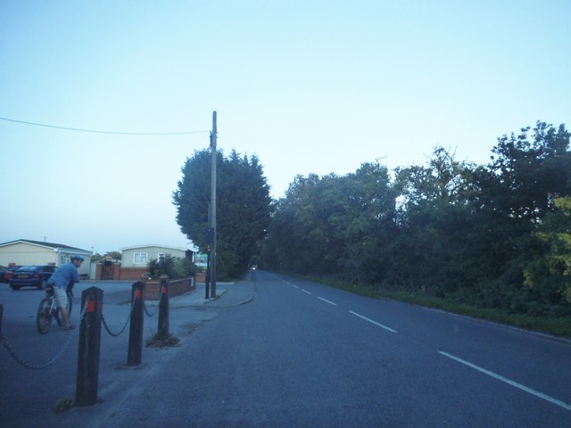
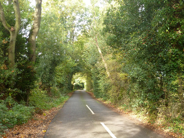
Access to Long Moor is easy, with a car park located nearby, ensuring visitors can easily explore the woodland and its surroundings. Whether it's a leisurely stroll or a more adventurous hike, Long Moor offers a peaceful retreat and a chance to reconnect with nature amidst the beauty of Berkshire's woodlands.
If you have any feedback on the listing, please let us know in the comments section below.
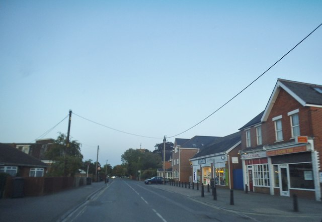
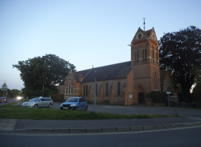
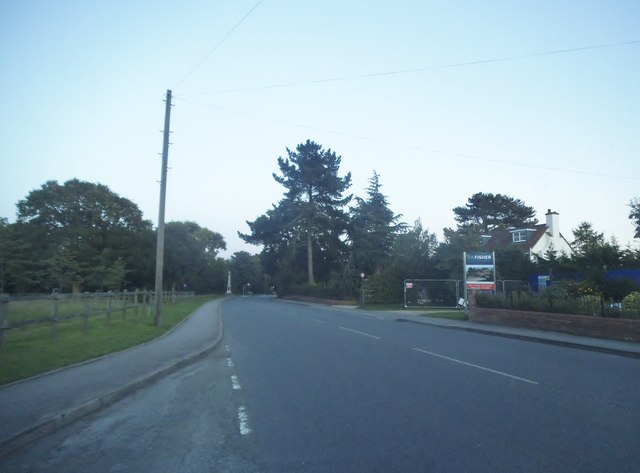
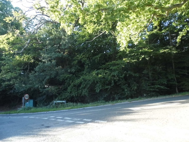
Long Moor Images
Images are sourced within 2km of 51.381157/-1.0686846 or Grid Reference SU6465. Thanks to Geograph Open Source API. All images are credited.


Long Moor is located at Grid Ref: SU6465 (Lat: 51.381157, Lng: -1.0686846)
Unitary Authority: West Berkshire
Police Authority: Thames Valley
What 3 Words
///extend.fence.backup. Near Stratfield Mortimer, Berkshire
Nearby Locations
Related Wikis

Mortimer Common
Mortimer Common, generally referred to as Mortimer, is a village in the civil parish of Stratfield Mortimer in Berkshire. Mortimer is in the local government...

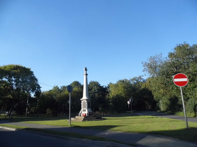
Mortimer War Memorial
The Mortimer War Memorial is a monument that commemorates the lives of soldiers from Stratfield Mortimer, Berkshire, England, who were killed in war....

The Willink School
The Willink School is a comprehensive community school in Burghfield Common, Berkshire, United Kingdom. Founded in 1957, the school is co-educational and...
Great Auclum National Speed Hill Climb
Great Auclum National Speed Hill Climb was a motorcar course close to Burghfield Common in the English county of Berkshire. It was based in the grounds...

Mortimer West End
Mortimer West End is a village and civil parish in north Hampshire in England. It lies in the northernmost point of the county. == History == At one time...
Goddard's Green, Berkshire
Goddard's Green is a hamlet and part of the civil parish of Wokefield in Berkshire, England. The settlement lies between the villages of Burghfield Common...

West End Brook
West End Brook is a small stream in southern England. It rises near the Hampshire village of Tadley. Its name is probably related to the parish, and village...

Stratfield Mortimer
Stratfield Mortimer is a village and civil parish, just south of Reading, in the English county of Berkshire and unitary authority area of West Berkshire...
Nearby Amenities
Located within 500m of 51.381157,-1.0686846Have you been to Long Moor?
Leave your review of Long Moor below (or comments, questions and feedback).