Claypits Wood

Wood, Forest in Oxfordshire South Oxfordshire

England

Claypits Wood

A4074 heading north Towards Wallingford through extensive woodland.
A4074 heading north Credit: Robin Webster

Claypits Wood is a picturesque woodland located in Oxfordshire, England. Covering an area of approximately 150 acres, it is nestled in the heart of the Chiltern Hills, a designated Area of Outstanding Natural Beauty.

The woodland is primarily composed of ancient beech trees, interspersed with oak, ash, and hazel trees. The dense canopy provides a tranquil and shaded environment, making it a popular destination for nature enthusiasts and walkers. The forest floor is carpeted with a rich variety of wildflowers, including bluebells, wood anemones, and primroses, which create a stunning display during the spring months.

Claypits Wood is home to a diverse range of wildlife. Many species of birds can be spotted here, including woodpeckers, buzzards, and tawny owls. Small mammals such as rabbits, foxes, and squirrels are also commonly seen. In addition, the woodland supports a range of insect life, with butterflies and bees being particularly abundant.

The site has a network of well-maintained footpaths and trails, offering visitors a chance to explore the wood and enjoy its natural beauty. There are also several picnic areas and benches scattered throughout the woodland, providing a peaceful spot to relax and take in the surroundings.

Claypits Wood is managed by a local conservation group, who work to protect and enhance the woodland's biodiversity. Regular events and guided walks are organized to educate visitors about the importance of this ancient woodland and its role in the local ecosystem.

Overall, Claypits Wood is a remarkable natural treasure, offering a haven for wildlife and a tranquil escape for those seeking solace in nature.

If you have any feedback on the listing, please let us know in the comments section below.

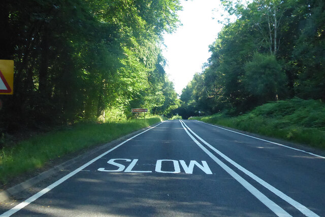
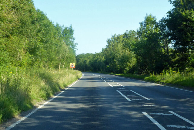
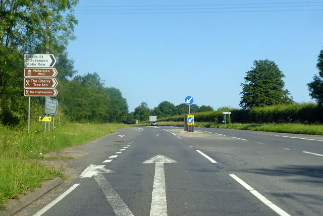
Claypits Wood Images

Images are sourced within 2km of 51.523664/-1.0715756 or Grid Reference SU6480. Thanks to Geograph Open Source API. All images are credited.

A4074 heading north Towards Wallingford through extensive woodland.
A4074 heading north
Towards Wallingford through extensive woodland.
A4074 towards Wallingford This part is a bypass of the old route through Exlade Street.
A4074 towards Wallingford
This part is a bypass of the old route through Exlade Street.
A4074 towards Wallingford At a junction for some brown sign destinations.
A4074 towards Wallingford
At a junction for some brown sign destinations.
A4074 Red Lane Towards Wallingford. Ahead is the junction with the B471 left towards Pangbourne.
A4074 Red Lane
Towards Wallingford. Ahead is the junction with the B471 left towards Pangbourne.
Direction Sign – Signpost on the B471 in Woodcote parish Located on the northwest side of the junction of the B471 Goring Road and Whitehouse Road in Woodcote parish. 3 arms and pawn finial. The Goring Heath / Reading arm had been lost by 2017.

Milestone Society National ID: OX_SU6481
Direction Sign – Signpost on the B471 in Woodcote parish
Located on the northwest side of the junction of the B471 Goring Road and Whitehouse Road in Woodcote parish. 3 arms and pawn finial. The Goring Heath / Reading arm had been lost by 2017. Milestone Society National ID: OX_SU6481
K6 telephone box and bus shelter, Cray's Pond
Bus shelter on the B4256, Cray's Pond
B4526, Cray's Pond
B4526, Cray's Pond
The White Lion, Cray's Pond Not currently open (2022).
See <a href="https://www.geograph.org.uk/photo/2829589">SU6380 : The White Lion, Crays Pond</a> for happier times.
The White Lion, Cray's Pond
Not currently open (2022). See SU6380 : The White Lion, Crays Pond for happier times.
Garage and car sales, Cray's Pond
Gated track and footpath off Goring Road
Goring Road The B471 towards Woodcote.
Goring Road
The B471 towards Woodcote.
House on Goring Road
Roadworks on Goring Road (B471)
Recreation ground, Woodcote
Village sign, Woodcote
The Red Lion, Woodcote On Goring Road.
See <a href="https://www.geograph.org.uk/photo/7246411">SU6482 : Sign for the Red Lion, Woodcote</a> for sign.
The Red Lion, Woodcote
On Goring Road. See SU6482 : Sign for the Red Lion, Woodcote for sign.
Sign for the Red Lion, Woodcote See <a href="https://www.geograph.org.uk/photo/7246410">SU6482 : The Red Lion, Woodcote</a> for context.
Sign for the Red Lion, Woodcote
Show me another place!

Claypits Wood is located at Grid Ref: SU6480 (Lat: 51.523664, Lng: -1.0715756)

Administrative County: Oxfordshire

District: South Oxfordshire

Police Authority: Thames Valley

What 3 Words

///bared.starfish.ants. Near Goring, Oxfordshire

Related Wikis

Crays Pond

Crays Pond is a hamlet situated in the parish of Goring Heath in South Oxfordshire. Crays Pond is about 2.4 miles (3.9 km) northeast of Goring-on-Thames...

Langtree School

Langtree School is a coeducational secondary school located in the village of Woodcote in South Oxfordshire, England. The school has approximately 624...

The Oratory Preparatory School

The Oratory Prep School is a Roman Catholic day and boarding school for some 330 boys and girls aged from two to thirteen, founded in 1925. The school...

Woodcote

Woodcote is a village and civil parish in South Oxfordshire, about 5 miles (8 km) southeast of Wallingford and about 7 miles (11 km) northwest of Reading...

The Oratory School

The Oratory School () is an HMC co-educational private Roman Catholic boarding and day school for pupils aged 11–18 located in Woodcote, 6 miles (9.7 km...

Whitchurch Hill

Whitchurch Hill is a village in the Chiltern Hills in Oxfordshire, about 5.5 miles (9 km) northwest of Reading, Berkshire, near Whitchurch-on-Thames. The...

Exlade Street

Exlade Street is a hamlet in Checkendon civil parish in Oxfordshire, about 6 miles (9.7 km) northwest of Reading, in the Chiltern Hills. The hamlet is...

Goring Heath

Goring Heath is a hamlet and civil parish in the Chiltern Hills in South Oxfordshire. The civil parish includes the villages of Whitchurch Hill and Crays...

Nearby Amenities

Located within 500m of 51.523664,-1.0715756
Post Box
Lat/Long: 51.5268883/-1.0705183
Barrier: bollard
Bicycle: yes
Foot: yes
Horse: yes
Lat/Long: 51.5249291/-1.0672919
Barrier: kissing_gate
Bicycle: no
Foot: yes
Lat/Long: 51.5240011/-1.0757973
Barrier: kissing_gate
Bicycle: no
Foot: yes
Lat/Long: 51.525906/-1.0742906
Barrier: kissing_gate
Foot: yes
Lat/Long: 51.5240592/-1.0687457
Barrier: kissing_gate
Foot: yes
Lat/Long: 51.5239704/-1.0761024
Barrier: kissing_gate
Foot: yes
Lat/Long: 51.5237184/-1.0751006
Barrier: kissing_gate
Foot: yes
Lat/Long: 51.521969/-1.0730965
Access: no
Barrier: kissing_gate
Foot: yes
Lat/Long: 51.5232391/-1.0695283
Power: pole
Transformer: distribution
Lat/Long: 51.5238939/-1.0762417
Power: pole
Lat/Long: 51.5238188/-1.0773186
Power: pole
Lat/Long: 51.5237795/-1.0787067
Direction: 145
Generator Method: photovoltaic
Generator Output Electricity: yes
Generator Solar Modules: 2
Generator Source: solar
Generator Type: solar_photovoltaic_panel
Location: roof
Power: generator
Lat/Long: 51.5254376/-1.0699048
Direction: 145
Generator Method: photovoltaic
Generator Output Electricity: yes
Generator Solar Modules: 2
Generator Source: solar
Generator Type: solar_photovoltaic_panel
Location: roof
Power: generator
Lat/Long: 51.5254638/-1.0698421
Direction: 145
Generator Method: photovoltaic
Generator Output Electricity: yes
Generator Solar Modules: 2
Generator Source: solar
Generator Type: solar_photovoltaic_panel
Location: roof
Power: generator
Lat/Long: 51.5254816/-1.0698024
Direction: 235
Generator Method: photovoltaic
Generator Output Electricity: yes
Generator Solar Modules: 2
Generator Source: solar
Generator Type: solar_photovoltaic_panel
Location: roof
Power: generator
Lat/Long: 51.5254126/-1.0700036
Direction: 235
Generator Method: photovoltaic
Generator Output Electricity: yes
Generator Solar Modules: 2
Generator Source: solar
Generator Type: solar_photovoltaic_panel
Location: roof
Power: generator
Lat/Long: 51.5255234/-1.0697433
Direction: 235
Generator Method: photovoltaic
Generator Output Electricity: yes
Generator Solar Modules: 2
Generator Source: solar
Generator Type: solar_photovoltaic_panel
Location: roof
Power: generator
Lat/Long: 51.5252923/-1.06972
Direction: 235
Generator Method: photovoltaic
Generator Output Electricity: yes
Generator Solar Modules: 2
Generator Source: solar
Generator Type: solar_photovoltaic_panel
Location: roof
Power: generator
Lat/Long: 51.5252688/-1.069686
Direction: 235
Generator Method: photovoltaic
Generator Output Electricity: yes
Generator Solar Modules: 2
Generator Source: solar
Generator Type: solar_photovoltaic_panel
Location: roof
Power: generator
Lat/Long: 51.5251828/-1.0695686
Direction: 235
Generator Method: photovoltaic
Generator Output Electricity: yes
Generator Solar Modules: 2
Generator Source: solar
Generator Type: solar_photovoltaic_panel
Location: roof
Power: generator
Lat/Long: 51.5251576/-1.0695385
Direction: 235
Generator Method: photovoltaic
Generator Output Electricity: yes
Generator Solar Modules: 2
Generator Source: solar
Generator Type: solar_photovoltaic_panel
Location: roof
Power: generator
Lat/Long: 51.5256433/-1.0701827
Direction: 235
Generator Method: photovoltaic
Generator Output Electricity: yes
Generator Solar Modules: 2
Generator Source: solar
Generator Type: solar_photovoltaic_panel
Location: roof
Power: generator
Lat/Long: 51.5256778/-1.070226
Direction: 235
Generator Method: photovoltaic
Generator Output Electricity: yes
Generator Solar Modules: 2
Generator Source: solar
Generator Type: solar_photovoltaic_panel
Location: roof
Power: generator
Lat/Long: 51.5257184/-1.0702688
Direction: 140
Generator Method: photovoltaic
Generator Output Electricity: yes
Generator Solar Modules: 8
Generator Source: solar
Generator Type: solar_photovoltaic_panel
Location: roof
Power: generator
Lat/Long: 51.5235531/-1.0747876
Direction: 195
Generator Method: photovoltaic
Generator Output Electricity: yes
Generator Solar Modules: 13
Generator Source: solar
Generator Type: solar_photovoltaic_panel
Location: roof
Power: generator
Lat/Long: 51.5270994/-1.0718532
Direction: 160
Generator Method: photovoltaic
Generator Output Electricity: yes
Generator Solar Modules: 10
Generator Source: solar
Generator Type: solar_photovoltaic_panel
Location: roof
Power: generator
Lat/Long: 51.5274362/-1.0706336
The data included in this document is from www.openstreetmap.org. The data is made available under ODbL.

Have you been to Claypits Wood?

Leave your review of Claypits Wood below (or comments, questions and feedback).