Friarhampstead Wood

Wood, Forest in Oxfordshire South Oxfordshire

England

Friarhampstead Wood
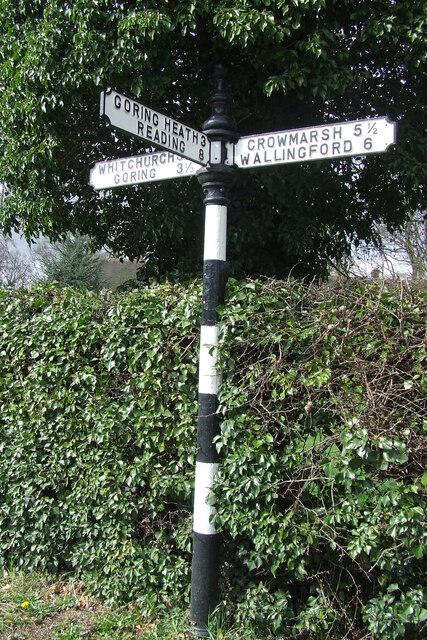
Direction Sign – Signpost on the B471 in Woodcote parish Located on the northwest side of the junction of the B471 Goring Road and Whitehouse Road in Woodcote parish. 3 arms and pawn finial. The Goring Heath / Reading arm had been lost by 2017.

Milestone Society National ID: OX_SU6481
Direction Sign – Signpost on the B471 in Woodcote parish Credit: John V Nicholls

Friarhampstead Wood is a picturesque forest located in the county of Oxfordshire, England. Covering an area of approximately 150 acres, the wood is situated near the village of Friarhampstead and is known for its natural beauty and diverse ecosystem.

The wood is predominantly composed of deciduous trees, with a mixture of oak, beech, and birch trees dominating the landscape. These trees create a dense canopy, providing shade and shelter for a variety of wildlife species. The forest floor is covered in a thick layer of leaf litter, creating a natural habitat for small mammals and insects.

Walking trails crisscross through Friarhampstead Wood, offering visitors the opportunity to explore its enchanting surroundings. These trails wind their way through the woodland, providing glimpses of the vibrant flora and fauna that call the area home. Birdwatchers will delight in the chance to spot species such as woodpeckers, nuthatches, and treecreepers that inhabit the forest.

Aside from its natural wonders, Friarhampstead Wood also holds historical significance. It is believed that the wood has been in existence for centuries, with some parts possibly dating back to medieval times. The ancient trees and moss-covered rocks add to the wood's timeless charm and make it a popular destination for history enthusiasts.

Overall, Friarhampstead Wood offers a perfect escape into nature, providing a peaceful and tranquil setting for visitors to enjoy. Its rich biodiversity, stunning scenery, and historical background make it a true gem of Oxfordshire.

If you have any feedback on the listing, please let us know in the comments section below.

Friarhampstead Wood Images

Images are sourced within 2km of 51.520973/-1.0700304 or Grid Reference SU6480. Thanks to Geograph Open Source API. All images are credited.
Direction Sign – Signpost on the B471 in Woodcote parish Located on the northwest side of the junction of the B471 Goring Road and Whitehouse Road in Woodcote parish. 3 arms and pawn finial. The Goring Heath / Reading arm had been lost by 2017.

Milestone Society National ID: OX_SU6481
Direction Sign – Signpost on the B471 in Woodcote parish
Located on the northwest side of the junction of the B471 Goring Road and Whitehouse Road in Woodcote parish. 3 arms and pawn finial. The Goring Heath / Reading arm had been lost by 2017. Milestone Society National ID: OX_SU6481
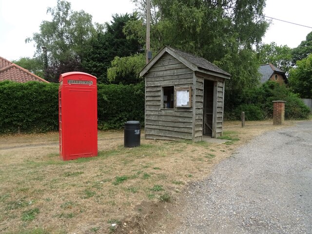
K6 telephone box and bus shelter, Cray's Pond
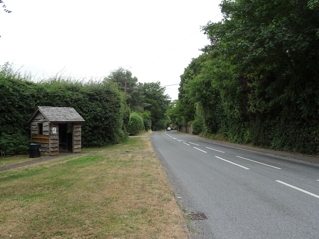
Bus shelter on the B4256, Cray's Pond
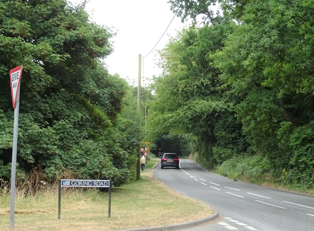
B4526, Cray's Pond
B4526, Cray's Pond
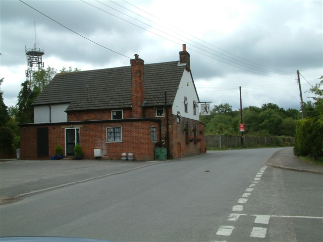
The White Lion, Cray's Pond Not currently open (2022).
See <a href="https://www.geograph.org.uk/photo/2829589">SU6380 : The White Lion, Crays Pond</a> for happier times.
The White Lion, Cray's Pond
Not currently open (2022). See SU6380 : The White Lion, Crays Pond for happier times.
Garage and car sales, Cray's Pond
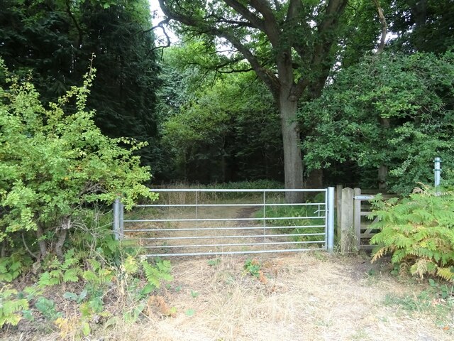
Gated track and footpath off Goring Road
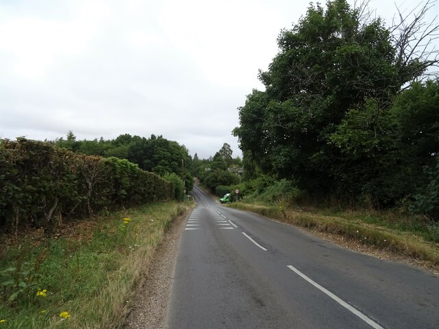
Goring Road The B471 towards Woodcote.
Goring Road
The B471 towards Woodcote.
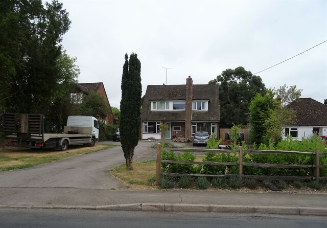
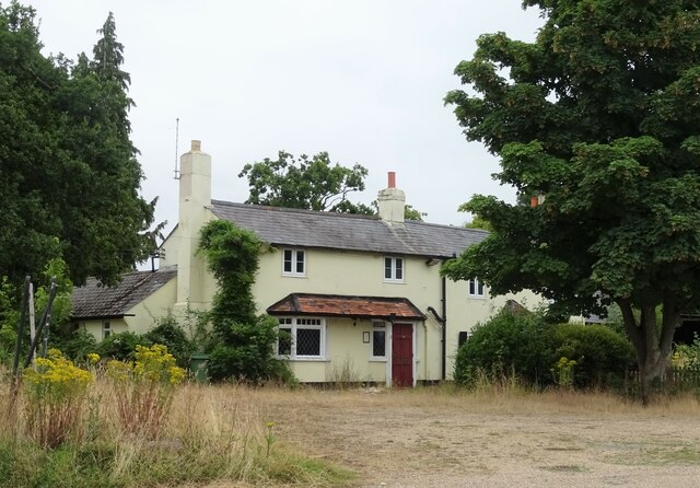
House on Goring Road
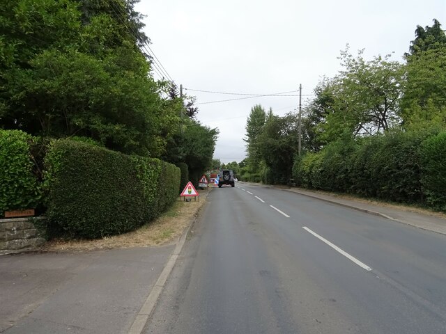
Roadworks on Goring Road (B471)
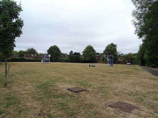
Recreation ground, Woodcote
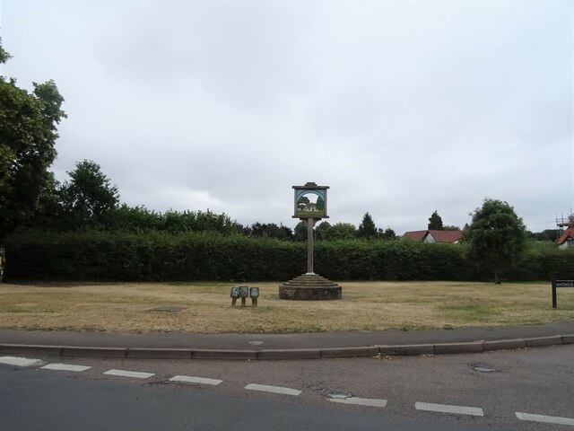
Village sign, Woodcote
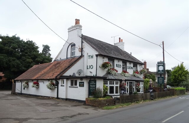
The Red Lion, Woodcote On Goring Road.
See <a href="https://www.geograph.org.uk/photo/7246411">SU6482 : Sign for the Red Lion, Woodcote</a> for sign.
The Red Lion, Woodcote
On Goring Road. See SU6482 : Sign for the Red Lion, Woodcote for sign.
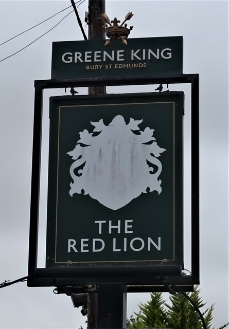
Sign for the Red Lion, Woodcote See <a href="https://www.geograph.org.uk/photo/7246410">SU6482 : The Red Lion, Woodcote</a> for context.
Sign for the Red Lion, Woodcote
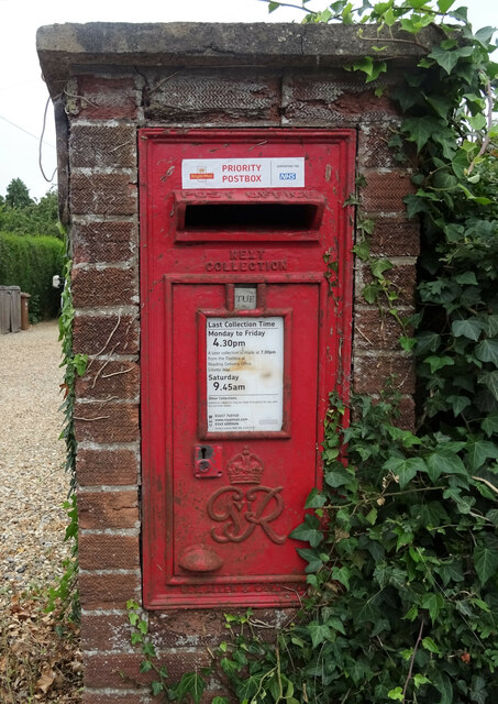
George VI postbox on Goring Road, Woodcote Postbox No. RG8 356.
George VI postbox on Goring Road, Woodcote
Postbox No. RG8 356.
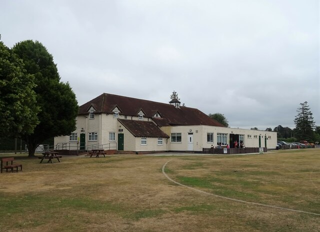
Woodcote Village Hall
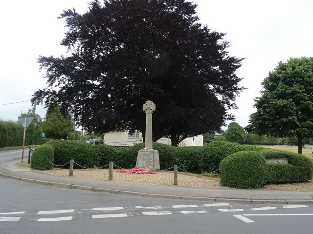
War Memorial, Woodcote
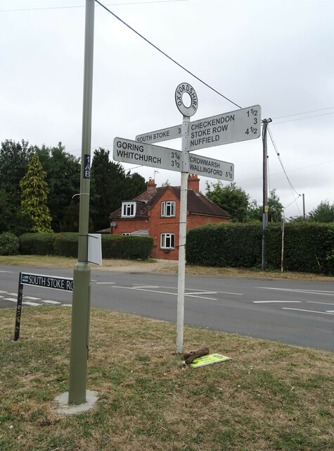
Fingerpost, Woodcote
Show me another place!

Friarhampstead Wood is located at Grid Ref: SU6480 (Lat: 51.520973, Lng: -1.0700304)

Administrative County: Oxfordshire

District: South Oxfordshire

Police Authority: Thames Valley

What 3 Words

///blazers.revamping.repeat. Near Pangbourne, Berkshire

Related Wikis

Crays Pond

Crays Pond is a hamlet situated in the parish of Goring Heath in South Oxfordshire. Crays Pond is about 2.4 miles (3.9 km) northeast of Goring-on-Thames...

The Oratory Preparatory School

The Oratory Prep School is a Roman Catholic day and boarding school for some 330 boys and girls aged from two to thirteen, founded in 1925. The school...

Whitchurch Hill

Whitchurch Hill is a village in the Chiltern Hills in Oxfordshire, about 5.5 miles (9 km) northwest of Reading, Berkshire, near Whitchurch-on-Thames. The...

Langtree School

Langtree School is a coeducational secondary school located in the village of Woodcote in South Oxfordshire, England. The school has approximately 624...

Woodcote

Woodcote is a village and civil parish in South Oxfordshire, about 5 miles (8 km) southeast of Wallingford and about 7 miles (11 km) northwest of Reading...

The Oratory School

The Oratory School () is an HMC co-educational private Roman Catholic boarding and day school for pupils aged 11–18 located in Woodcote, 6 miles (9.7 km...

Exlade Street

Exlade Street is a hamlet in Checkendon civil parish in Oxfordshire, about 6 miles (9.7 km) northwest of Reading, in the Chiltern Hills. The hamlet is...

Goring Rural District

Goring was a rural district in Oxfordshire, England from 1894 to 1932. It was formed from that part of the Bradfield rural sanitary district which was...

Nearby Amenities

Located within 500m of 51.520973,-1.0700304
Barrier: bollard
Bicycle: yes
Foot: yes
Horse: yes
Lat/Long: 51.5249291/-1.0672919
Barrier: kissing_gate
Foot: yes
Lat/Long: 51.5175196/-1.0699781
Barrier: kissing_gate
Foot: yes
Lat/Long: 51.5240592/-1.0687457
Barrier: kissing_gate
Foot: yes
Lat/Long: 51.5237184/-1.0751006
Barrier: kissing_gate
Foot: yes
Lat/Long: 51.521969/-1.0730965
Barrier: kissing_gate
Foot: yes
Lat/Long: 51.5191335/-1.073342
Access: no
Barrier: kissing_gate
Foot: yes
Lat/Long: 51.5232391/-1.0695283
Direction: 145
Generator Method: photovoltaic
Generator Output Electricity: yes
Generator Solar Modules: 2
Generator Source: solar
Generator Type: solar_photovoltaic_panel
Location: roof
Power: generator
Lat/Long: 51.5254376/-1.0699048
Direction: 145
Generator Method: photovoltaic
Generator Output Electricity: yes
Generator Solar Modules: 2
Generator Source: solar
Generator Type: solar_photovoltaic_panel
Location: roof
Power: generator
Lat/Long: 51.5254638/-1.0698421
Direction: 235
Generator Method: photovoltaic
Generator Output Electricity: yes
Generator Solar Modules: 2
Generator Source: solar
Generator Type: solar_photovoltaic_panel
Location: roof
Power: generator
Lat/Long: 51.5254126/-1.0700036
Direction: 235
Generator Method: photovoltaic
Generator Output Electricity: yes
Generator Solar Modules: 2
Generator Source: solar
Generator Type: solar_photovoltaic_panel
Location: roof
Power: generator
Lat/Long: 51.5252923/-1.06972
Direction: 235
Generator Method: photovoltaic
Generator Output Electricity: yes
Generator Solar Modules: 2
Generator Source: solar
Generator Type: solar_photovoltaic_panel
Location: roof
Power: generator
Lat/Long: 51.5252688/-1.069686
Direction: 235
Generator Method: photovoltaic
Generator Output Electricity: yes
Generator Solar Modules: 2
Generator Source: solar
Generator Type: solar_photovoltaic_panel
Location: roof
Power: generator
Lat/Long: 51.5251828/-1.0695686
Direction: 235
Generator Method: photovoltaic
Generator Output Electricity: yes
Generator Solar Modules: 2
Generator Source: solar
Generator Type: solar_photovoltaic_panel
Location: roof
Power: generator
Lat/Long: 51.5251576/-1.0695385
Direction: 140
Generator Method: photovoltaic
Generator Output Electricity: yes
Generator Solar Modules: 8
Generator Source: solar
Generator Type: solar_photovoltaic_panel
Location: roof
Power: generator
Lat/Long: 51.5235531/-1.0747876
The data included in this document is from www.openstreetmap.org. The data is made available under ODbL.

Have you been to Friarhampstead Wood?

Leave your review of Friarhampstead Wood below (or comments, questions and feedback).