Ash Spinney
Wood, Forest in Buckinghamshire
England
Ash Spinney
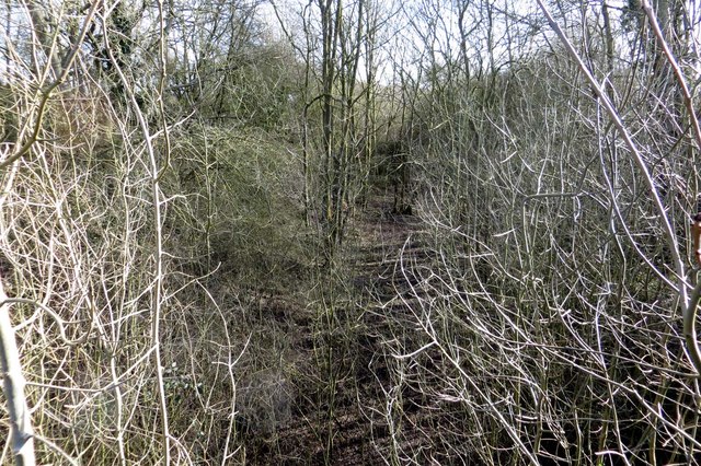
Ash Spinney is a picturesque woodland located in Buckinghamshire, England. This natural haven is nestled in the heart of the Chiltern Hills, offering visitors a serene and tranquil environment to explore. The woodland is primarily composed of ash trees, from which it derives its name, and is home to a diverse range of flora and fauna.
With its dense canopy of trees, Ash Spinney provides an ideal habitat for numerous species. It is a haven for birdwatchers, as a variety of birds, including woodpeckers, thrushes, and owls, can be spotted here throughout the year. The woodland floor is carpeted with an array of wildflowers during the spring and summer months, creating a vibrant and colorful ambiance.
Several walking trails wind their way through Ash Spinney, allowing visitors to fully immerse themselves in the beauty of nature. These paths are well-maintained and suitable for all abilities, making it an accessible destination for families and individuals alike. As one explores the woods, they may come across small streams and brooks that add to the charm of the surroundings.
Ash Spinney is not only a haven for wildlife enthusiasts, but also for those seeking some respite from the hustle and bustle of everyday life. The peacefulness and tranquility of the woodland make it an ideal spot for meditation, yoga, or simply enjoying a leisurely picnic surrounded by nature.
Overall, Ash Spinney in Buckinghamshire is a nature lover's paradise, offering a stunning display of woodland beauty and an opportunity to connect with the natural world.
If you have any feedback on the listing, please let us know in the comments section below.
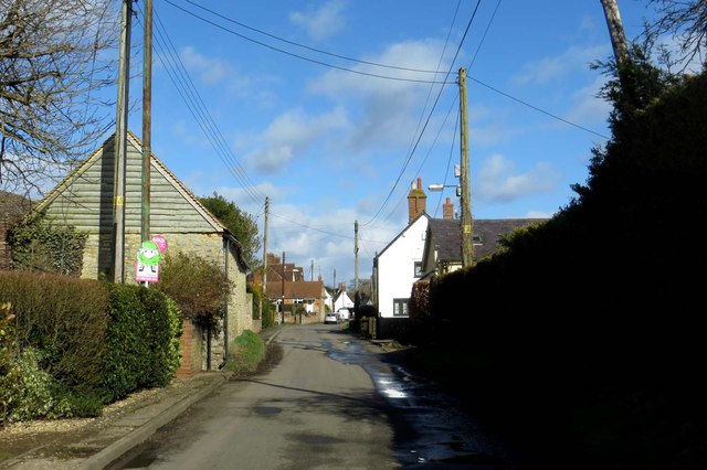
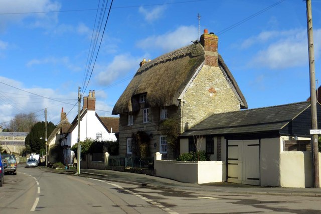
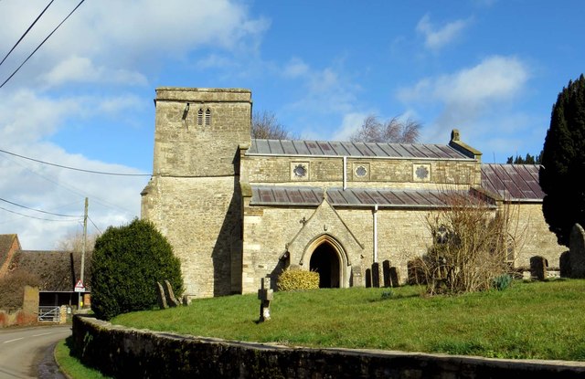
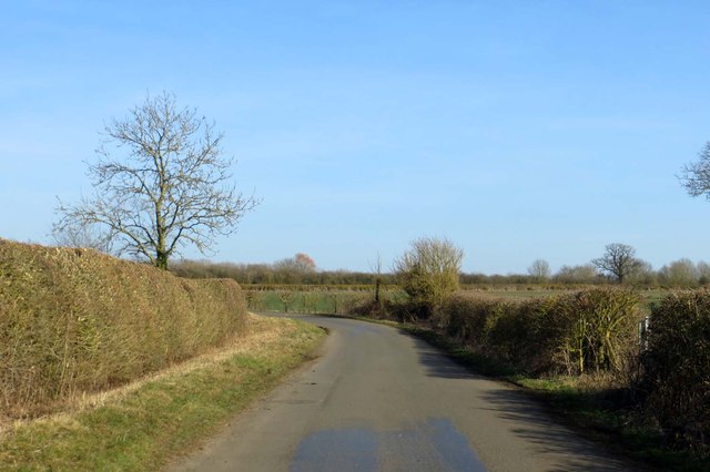
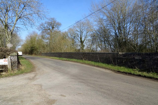
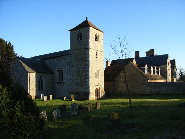
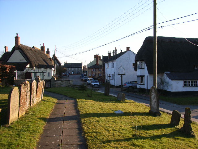
Ash Spinney Images
Images are sourced within 2km of 51.966929/-1.0624611 or Grid Reference SP6430. Thanks to Geograph Open Source API. All images are credited.


Ash Spinney is located at Grid Ref: SP6430 (Lat: 51.966929, Lng: -1.0624611)
Unitary Authority: Buckinghamshire
Police Authority: Thames Valley
What 3 Words
///hamsters.usual.hills. Near Tingewick, Buckinghamshire
Nearby Locations
Related Wikis
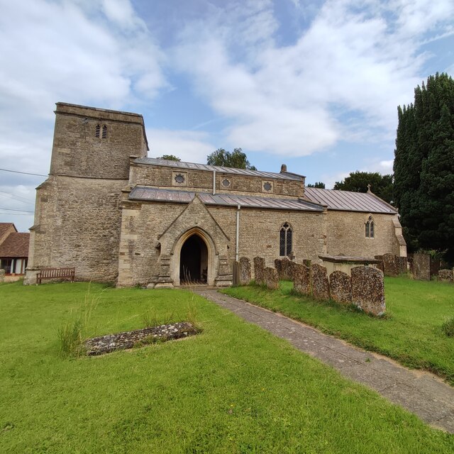
Chetwode
Chetwode () is a village and civil parish about 4 miles (6.4 km) southwest of Buckingham in the Aylesbury Vale district of Buckinghamshire. The parish...

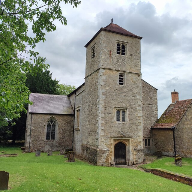
Barton Hartshorn
Barton Hartshorn is a civil parish about 4 miles (6.4 km) southwest of Buckingham in Buckinghamshire, within the Buckinghamshire Council unitary authority...

Tingewick Meadows
Tingewick Meadows is an 11.1-hectare (27-acre) biological Site of Special Scientific Interest south of Tingewick in Buckinghamshire.The site is one of...
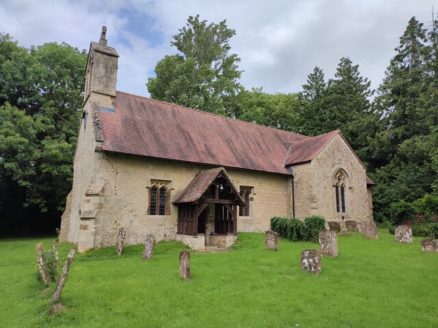
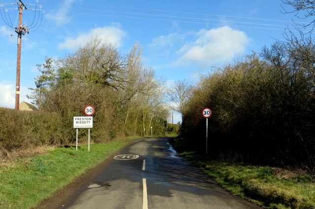
Preston Bissett
Preston Bissett is a village and civil parish in the unitary authority area of Buckinghamshire, England. It is about four miles SSW of Buckingham, six...

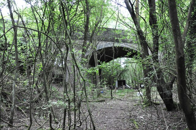
Finmere railway station
Finmere was a railway station on the former Great Central Main Line which ran between Manchester London Road and London Marylebone. It was opened in 1899...

Newton Purcell
Newton Purcell is a village in the civil parish of Newton Purcell with Shelswell, in the Cherwell district, in the county of Oxfordshire, England, 4+1...

RAF Finmere
Royal Air Force Finmere, or more simply RAF Finmere is a former Royal Air Force satellite station located to the south-east of Finmere and south of Tingewick...
Godington
Godington is a village and civil parish about 5 miles (8 km) northeast of Bicester in Oxfordshire. The parish is bounded on all but the west side by a...
Nearby Amenities
Located within 500m of 51.966929,-1.0624611Have you been to Ash Spinney?
Leave your review of Ash Spinney below (or comments, questions and feedback).