Dykebar

Settlement in Renfrewshire

Scotland

Dykebar

Renfrewshire Council Headquarters
Renfrewshire Council Headquarters Credit: G McK

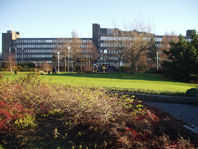
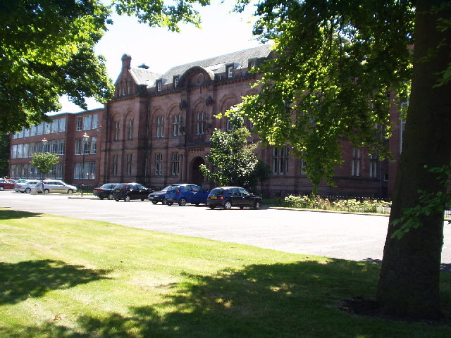
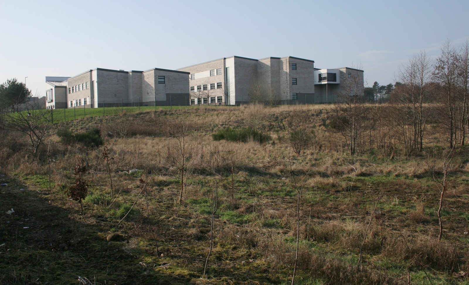
Dykebar is a small residential area located in Renfrewshire, Scotland. Situated approximately two miles southeast of Paisley, it is predominantly known for its mental health hospital, also called Dykebar, which sits at the heart of the community. The hospital was established in the early 20th century and has since played a vital role in providing psychiatric care to patients from Renfrewshire and the surrounding areas.

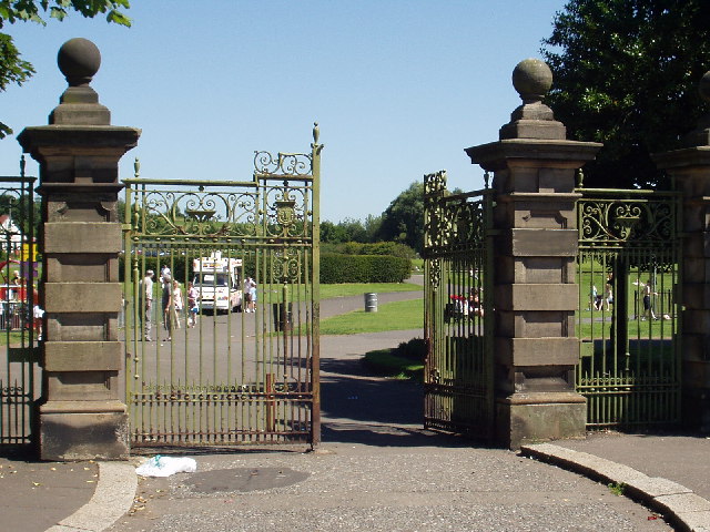
The area itself is characterized by a mix of residential and green spaces, offering a peaceful and serene atmosphere for its residents. It boasts a range of housing options, including detached houses, semi-detached houses, and flats, catering to a diverse population.

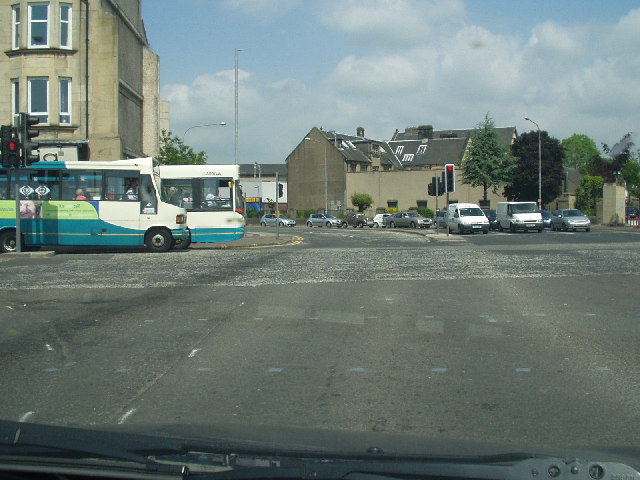
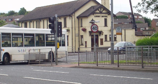
Dykebar is well-connected to the nearby towns and cities, with reliable transport links available. The area is served by several bus routes, allowing residents to easily access Paisley, Glasgow, and other neighboring areas. Additionally, the M8 motorway is within close proximity, providing convenient road connections to the wider region.

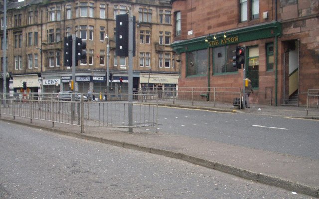
Residents of Dykebar can enjoy a variety of amenities and services within the local community, including shops, schools, and recreational facilities. The nearby town of Paisley offers a wider range of amenities, including shopping centers, restaurants, and leisure activities.

Overall, Dykebar offers a tranquil and supportive environment for its residents, with its mental health hospital serving as a cornerstone of the community. Its convenient location and range of amenities make it an attractive place to live for individuals and families alike.

If you have any feedback on the listing, please let us know in the comments section below.

Dykebar Images

Images are sourced within 2km of 55.83035/-4.403607 or Grid Reference NS4962. Thanks to Geograph Open Source API. All images are credited.

Renfrewshire Council Headquarters
Central Paisley
Central Paisley
Canal St, Paisley Road junction near the centre of Paisley
Canal St, Paisley
Road junction near the centre of Paisley
The Abbey Hotel, Paisley
Paisley Grammar School Glasgow Road, Paisley
Paisley Grammar School
Glasgow Road, Paisley
Barshaw Park, Paisley
Hawkhead Station, Paisley
Former "Brown & Polson" Admin Building, Paisley This Admin building is all that remains of the Brown & Polson Factory, the site has been cleared and new houses are being built there.
Former "Brown & Polson" Admin Building, Paisley
This Admin building is all that remains of the Brown & Polson Factory, the site has been cleared and new houses are being built there.
Former "Brown & Polson" Admin Building, Paisley Front Entrance Detail.
Former "Brown & Polson" Admin Building, Paisley
Front Entrance Detail.
Former "Brown & Polson" Admin Building, Paisley Rear Entrance detail.
Former "Brown & Polson" Admin Building, Paisley
Rear Entrance detail.
"Brown & Polson" Workers Houses, Paisley Houses originally built for the B&P workers.
"Brown & Polson" Workers Houses, Paisley
Houses originally built for the B&P workers.
Paisley Abbey View of the historic abbey from over the White Cart Water.
Paisley Abbey
View of the historic abbey from over the White Cart Water.
Woodland Path Near Dykebar Hospital
Dyke and Trig Point A dyke runs up a hill to a Trig Point near Barrhead
Dyke and Trig Point
A dyke runs up a hill to a Trig Point near Barrhead
Barrhead Fire Station
Neilston Road, Paisley Looking south.
Neilston Road, Paisley
Looking south.
Stoney Brae Stoney Brae, off Caplethill Road, Paisley.
Stoney Brae
Stoney Brae, off Caplethill Road, Paisley.
Former railway station Located off Neilston Road, Paisley, this was originally Potterhill station on the long since closed Paisley-Barrhead line.
Former railway station
Located off Neilston Road, Paisley, this was originally Potterhill station on the long since closed Paisley-Barrhead line.
Show me another place!

Dykebar is located at Grid Ref: NS4962 (Lat: 55.83035, Lng: -4.403607)

Unitary Authority: Renfrewshire

Police Authority: Renfrewshire and Inverclyde

What 3 Words

///spark.soaks.degree. Near Paisley, Renfrewshire

Related Wikis

Dykebar

Dykebar is a small residential estate at the south-easternmost periphery of Paisley, Renfrewshire, Scotland, close to the local authority boundaries with...

Dykebar railway station

Dykebar was a railway station in the Dykebar area to the south of Paisley, Renfrewshire, Scotland. The station was originally part of the Paisley and...
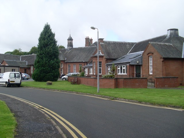
Dykebar Hospital

Dykebar Hospital is a mental health facility in Dykebar, Paisley, Renfrewshire, Scotland. The main building is a Grade B listed building. The hospital...

St Andrew's Academy, Paisley

St Andrew's Academy is a Roman Catholic secondary school in Hawkhead, Paisley, Scotland. The school was opened in 1990, with its importance growing in...

Abbey, Renfrewshire

Abbey, or sometimes Abbey Paisley, is a civil parish in Renfrewshire, Scotland traditionally centred on the towns of Paisley and Johnstone and including...

Hawkhead Hospital

Hawkhead Hospital was a health facility on Hawkhead Road in Hawkhead, Renfrewshire, Scotland. The complex is Grade B listed. == History == The facility...

Charleston, Paisley

Charleston is a district in the burgh of Paisley in Renfrewshire, Scotland. Once a village distinct from Paisley, Charleston has become absorbed as Paisley...

Blackhall Manor

Blackhall Manor is a tower house in Paisley in Renfrewshire, in the western central Lowlands of Scotland. It dates to the sixteenth century, although parts...

Nearby Amenities

Located within 500m of 55.83035,-4.403607
Traffic Signals
Traffic Signals: signal
Lat/Long: 55.8334718/-4.4027011
Traffic Calming: table
Lat/Long: 55.8271069/-4.40323
Turning Circle
Lat/Long: 55.8329312/-4.4067234
Traffic Calming: table
Lat/Long: 55.8275284/-4.4037996
Traffic Calming: table
Lat/Long: 55.8277063/-4.4021021
Traffic Calming: table
Lat/Long: 55.8279304/-4.4017256
Traffic Calming: table
Lat/Long: 55.8278338/-4.4045023
Traffic Calming: table
Lat/Long: 55.8282264/-4.4049535
Hunters Hill
Ele: 58
Natural: peak
Lat/Long: 55.8327447/-4.4092109
Dykebarhill
Ele: 52
Natural: peak
Old Name: Dikebarhill
Lat/Long: 55.8309611/-4.4002416
Traffic Calming: cushion
Lat/Long: 55.8296446/-4.4027585
Traffic Calming: cushion
Lat/Long: 55.8299809/-4.4031642
Traffic Calming: table
Lat/Long: 55.827478/-4.4025526
Traffic Calming: cushion
Lat/Long: 55.8292851/-4.4023257
Traffic Calming: cushion
Lat/Long: 55.830302/-4.4035661
Traffic Calming: cushion
Lat/Long: 55.8288752/-4.4018322
Traffic Calming: cushion
Lat/Long: 55.8284169/-4.4012773
Bus Stop
Lochfield Road/Todholm Primary
Covered: yes
Naptan AtcoCode: 6140338
Naptan NaptanCode: 73923468
Shelter: yes
Lat/Long: 55.8318303/-4.4033495
Dykebar
Place: suburb
Lat/Long: 55.829449/-4.4021882
Hunterhill
Place: suburb
Lat/Long: 55.833584/-4.4081152
Ford: yes
Lat/Long: 55.8268602/-4.3993906
Crossing
Crossing: traffic_signals
Lat/Long: 55.8322446/-4.3993861
The data included in this document is from www.openstreetmap.org. The data is made available under ODbL.

Have you been to Dykebar?

Leave your review of Dykebar below (or comments, questions and feedback).