Ashpole Spinney

Wood, Forest in Northamptonshire

England

Ashpole Spinney

Bridge 18 (Grand Union Canal) Bridge 18 carries a track over the canal to Heart of the Shires shopping village.
Bridge 18 (Grand Union Canal) Credit: Ryan Griffiths

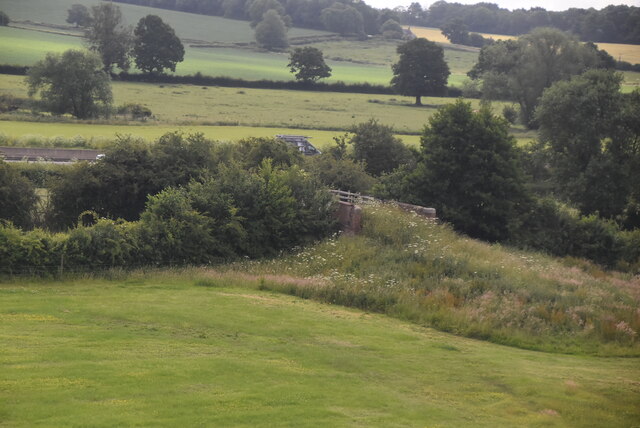
Ashpole Spinney is a picturesque woodland located in Northamptonshire, England. Situated near the village of Wood, this forested area covers approximately 15 acres of land. The spinney is known for its dense and diverse collection of trees, providing a tranquil and serene environment for visitors.

The forest is primarily composed of native broadleaf trees such as oak, birch, and beech, which create a vibrant and ever-changing display throughout the year. The thick canopy of foliage offers a cool retreat during the summer months, while in autumn, the spinney is transformed into a spectacle of orange, red, and gold as the leaves change colors.

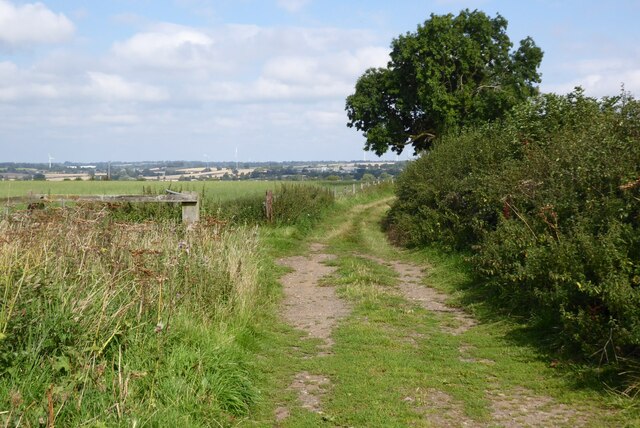
The woodland is intersected by winding footpaths, allowing visitors to explore the area at their own pace. These paths meander through the forest, offering glimpses of the local wildlife that inhabit the spinney. Birdwatchers will find a variety of species, including woodpeckers, owls, and thrushes, among others.

Ashpole Spinney is a haven for nature enthusiasts, providing a sanctuary for both flora and fauna. The forest is home to a diverse range of plant life, including wildflowers and ferns that thrive in the shaded undergrowth. Additionally, the spinney supports a variety of small mammals, such as squirrels and rabbits, which can often be spotted darting between the trees.

Due to its natural beauty and peaceful atmosphere, Ashpole Spinney is a popular destination for hikers, dog walkers, and families seeking a day out in nature. The forest offers a wonderful opportunity to escape the hustle and bustle of everyday life and immerse oneself in the tranquility of the Northamptonshire countryside.

If you have any feedback on the listing, please let us know in the comments section below.

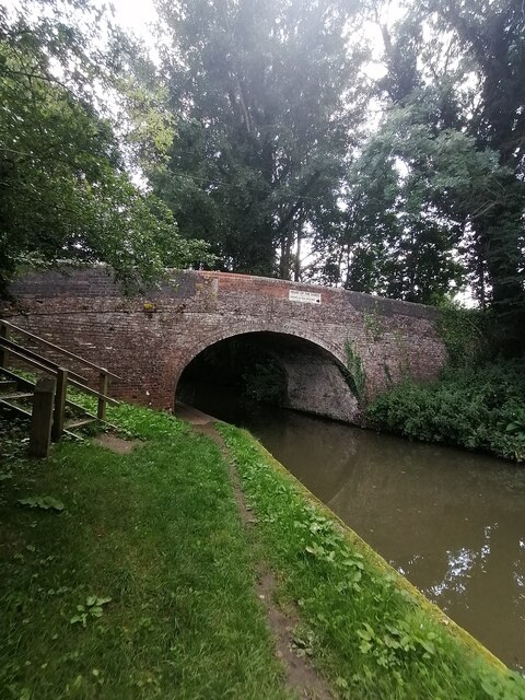
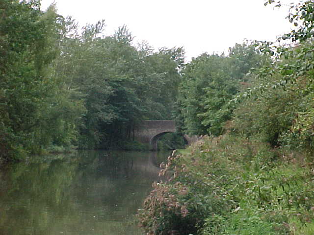
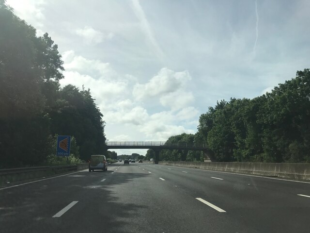
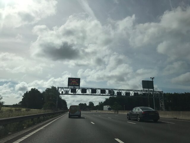
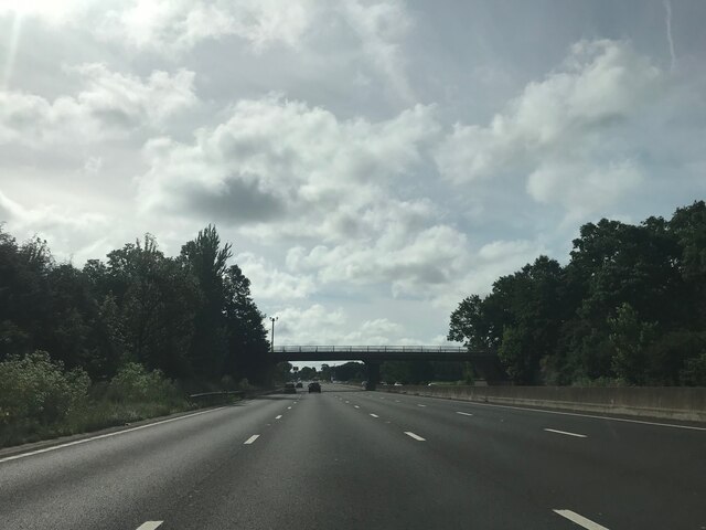
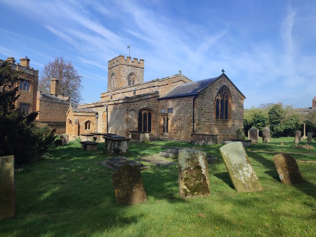
Ashpole Spinney Images

Images are sourced within 2km of 52.264034/-1.0651619 or Grid Reference SP6363. Thanks to Geograph Open Source API. All images are credited.

Bridge 18 (Grand Union Canal) Bridge 18 carries a track over the canal to Heart of the Shires shopping village.
Bridge 18 (Grand Union Canal)
Bridge 18 carries a track over the canal to Heart of the Shires shopping village.
Bridge 19 (Grand Union Canal) Bridge 19 carries a private footpath over the canal.
Bridge 19 (Grand Union Canal)
Bridge 19 carries a private footpath over the canal.
Bridge 16 (Grand Union Canal)  Bridge 16 carries private land over the canal
Bridge 16 (Grand Union Canal)
Bridge 16 carries private land over the canal
Railway bridge 242 (Northamptonshire) Railway bridge 242 at Muscott Mill, Northampton
Railway bridge 242 (Northamptonshire)
Railway bridge 242 at Muscott Mill, Northampton
Grand Union Canal Bridge number 18, Muscott Mill Bridge.
Grand Union Canal
Bridge number 18, Muscott Mill Bridge.
Access bridge, Grand Union Canal
Matrix Board - M1 southbound
Track crossing M1 - southbound
Matrix board - M1 southbound
Minor road crossing M1 southbound
Brockhall Church
Brockhall Church
Access bridge, Grand Union Canal
Farmland at Whilton Farmland to the west of the village of Whilton.
Farmland at Whilton
Farmland to the west of the village of Whilton.
Whilton church Whilton church is dedicated to St Andrew, the church dates back to the 13th century and is Grade II listed, see: <span class="nowrap"><a title="https://historicengland.org.uk/listing/the-list/list-entry/1076490" rel="nofollow ugc noopener" href="https://historicengland.org.uk/listing/the-list/list-entry/1076490">Link</a><img style="margin-left:2px;" alt="External link" title="External link - shift click to open in new window" src="https://s1.geograph.org.uk/img/external.png" width="10" height="10"/></span>
Whilton church
Whilton church is dedicated to St Andrew, the church dates back to the 13th century and is Grade II listed, see: LinkExternal link
Former telephone box Former telephone box in the village of Whilton, these days it is a book exchange.
Former telephone box
Former telephone box in the village of Whilton, these days it is a book exchange.
Village of Whilton Houses in the village of Whilton.
Village of Whilton
Houses in the village of Whilton.
Bridge over the M1 near to Brockhall The M1 is a north–south motorway connecting London to Leeds, where it joins the A1(M) near Aberford. It was the first motorway to be completed in the United Kingdom.
The motorway is 193 miles long and was constructed in four phases. Most of the motorway was opened between 1959 and 1968 but the southern end was extended in 1977 and the northern end was extended in 1999.
Bridge over the M1 near to Brockhall
The M1 is a north–south motorway connecting London to Leeds, where it joins the A1(M) near Aberford. It was the first motorway to be completed in the United Kingdom. The motorway is 193 miles long and was constructed in four phases. Most of the motorway was opened between 1959 and 1968 but the southern end was extended in 1977 and the northern end was extended in 1999.
Show me another place!

Ashpole Spinney is located at Grid Ref: SP6363 (Lat: 52.264034, Lng: -1.0651619)

Unitary Authority: West Northamptonshire

Police Authority: Northamptonshire

What 3 Words

///tailwind.prawn.names. Near Flore, Northamptonshire

Related Wikis

Brockhall, Northamptonshire

Brockhall is a civil parish and village in West Northamptonshire in England. Brockhall, like many estate villages, is a small settlement that has developed...

Muscott (lost settlement)

The lost village of Muscott is located within the parish of Norton in the English county of Northamptonshire. == Gallery == == References ==

Whilton

Whilton is a village and a civil parish in the English county of Northamptonshire. The population (including Slapton) at the 2011 Census was 271. The...

Brington, Northamptonshire

Brington is a civil parish in West Northamptonshire in England. At the time of the 2001 census, the parish population was 482 people, increasing to 496...

Little Brington

Little Brington is a village in Brington and civil parish, in West Northamptonshire, England. It has one little school that currently holds around 50...

Muscott

Muscott is a hamlet in Norton civil parish in the south of the English county of Northamptonshire. == External links == grid reference SP625633

Whilton Locks

Whilton Locks is the name of a flight of seven locks on the Grand Union Canal near Daventry, in the county of Northamptonshire, England. They are also...
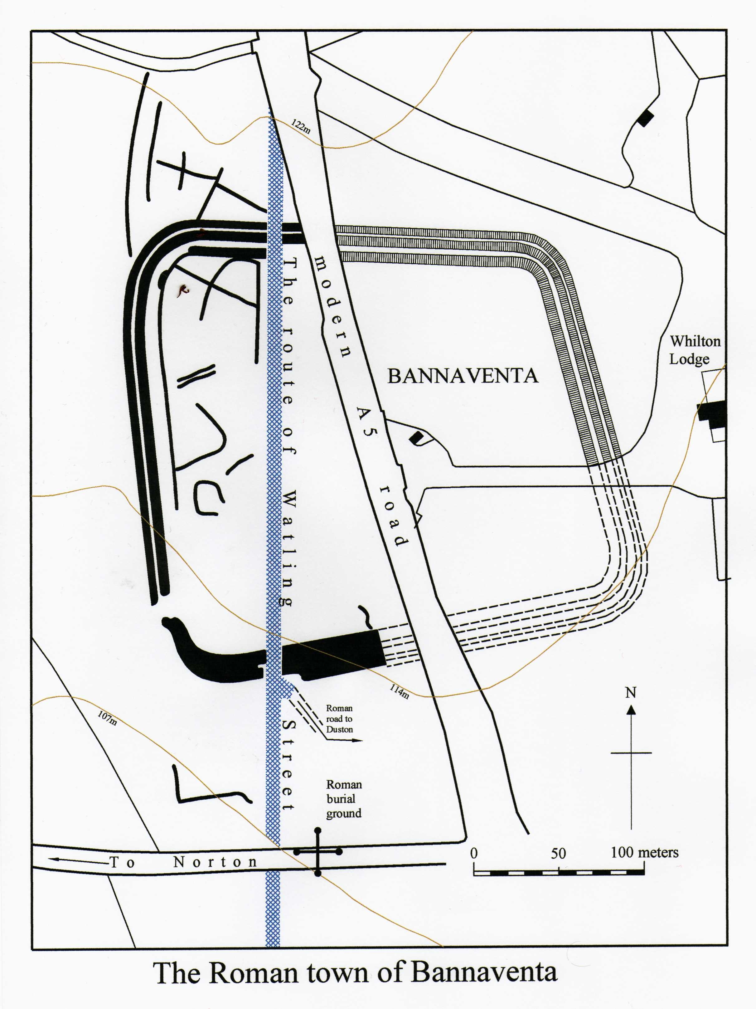
Bannaventa

Bannaventa or Benaventa was a Romano-British fortified town which was on the Roman road later called Watling Street, which today is here, as in most places...

Have you been to Ashpole Spinney?

Leave your review of Ashpole Spinney below (or comments, questions and feedback).