Violet Spinney
Wood, Forest in Northamptonshire
England
Violet Spinney

Violet Spinney is a charming village located in the county of Northamptonshire, England. Situated in the heart of the Wood and Forest district, this idyllic settlement offers a tranquil escape from the hustle and bustle of city life.
Surrounded by lush green fields and dense woodlands, Violet Spinney is a paradise for nature enthusiasts and outdoor lovers. The village is blessed with an abundance of flora and fauna, making it a perfect destination for hiking, birdwatching, and exploring the countryside.
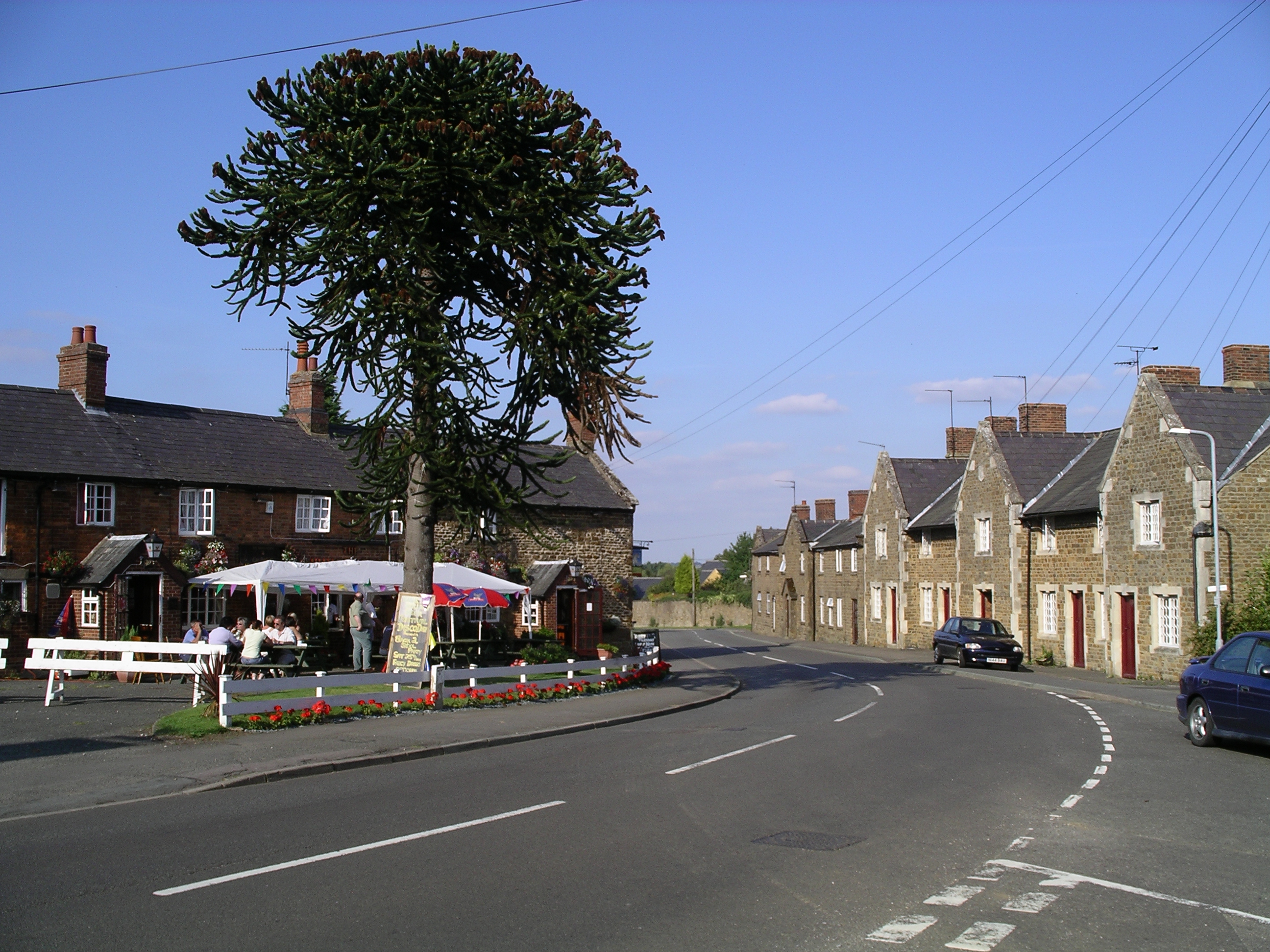
The village itself is small, with a close-knit community that prides itself on its friendly and welcoming atmosphere. Traditional stone cottages line the streets, adding to the overall charm and character of Violet Spinney. The village center features a quaint local pub, The Woodland Inn, where residents and visitors can enjoy a pint of ale or savor delicious homemade meals.
For those seeking cultural experiences, nearby attractions include the historic Woodville Manor, a grand Tudor mansion that offers guided tours and a glimpse into the area's rich history. Additionally, the annual Wood and Forest Festival takes place in Violet Spinney, showcasing local arts, crafts, and music.
Violet Spinney is conveniently located just a short drive away from the market town of Northampton, where residents can access a wider range of amenities, including shops, restaurants, and entertainment options.
Overall, Violet Spinney is a picturesque village with a strong sense of community, offering a peaceful and scenic retreat for those looking to reconnect with nature and experience quintessential English village life.
If you have any feedback on the listing, please let us know in the comments section below.
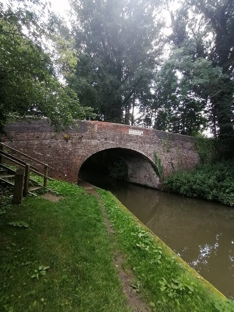
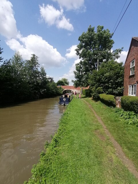
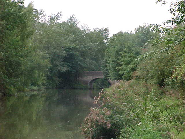
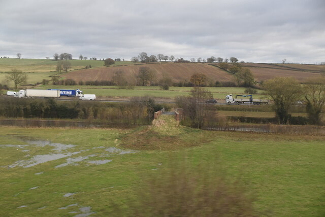
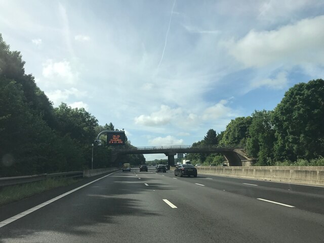
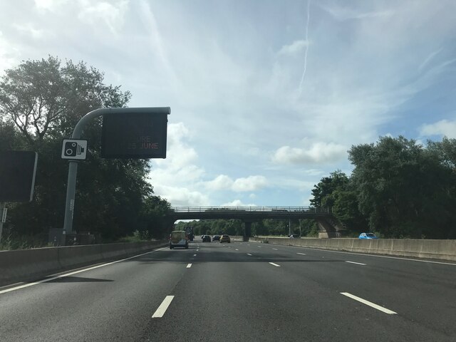
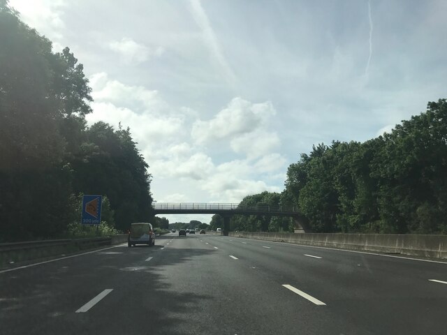
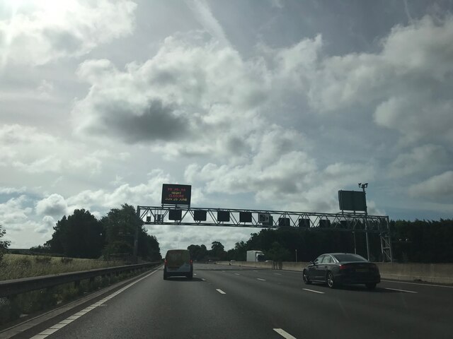
Violet Spinney Images
Images are sourced within 2km of 52.26601/-1.0740151 or Grid Reference SP6363. Thanks to Geograph Open Source API. All images are credited.


Violet Spinney is located at Grid Ref: SP6363 (Lat: 52.26601, Lng: -1.0740151)
Unitary Authority: West Northamptonshire
Police Authority: Northamptonshire
What 3 Words
///arranger.scores.intruders. Near Flore, Northamptonshire
Nearby Locations
Related Wikis

Muscott (lost settlement)
The lost village of Muscott is located within the parish of Norton in the English county of Northamptonshire. == Gallery == == References ==

Brockhall, Northamptonshire
Brockhall is a civil parish and village in West Northamptonshire in England. Brockhall, like many estate villages, is a small settlement that has developed...

Whilton
Whilton is a village and a civil parish in the English county of Northamptonshire. The population (including Slapton) at the 2011 Census was 271. The...

Muscott
Muscott is a hamlet in Norton civil parish in the south of the English county of Northamptonshire. == External links == grid reference SP625633
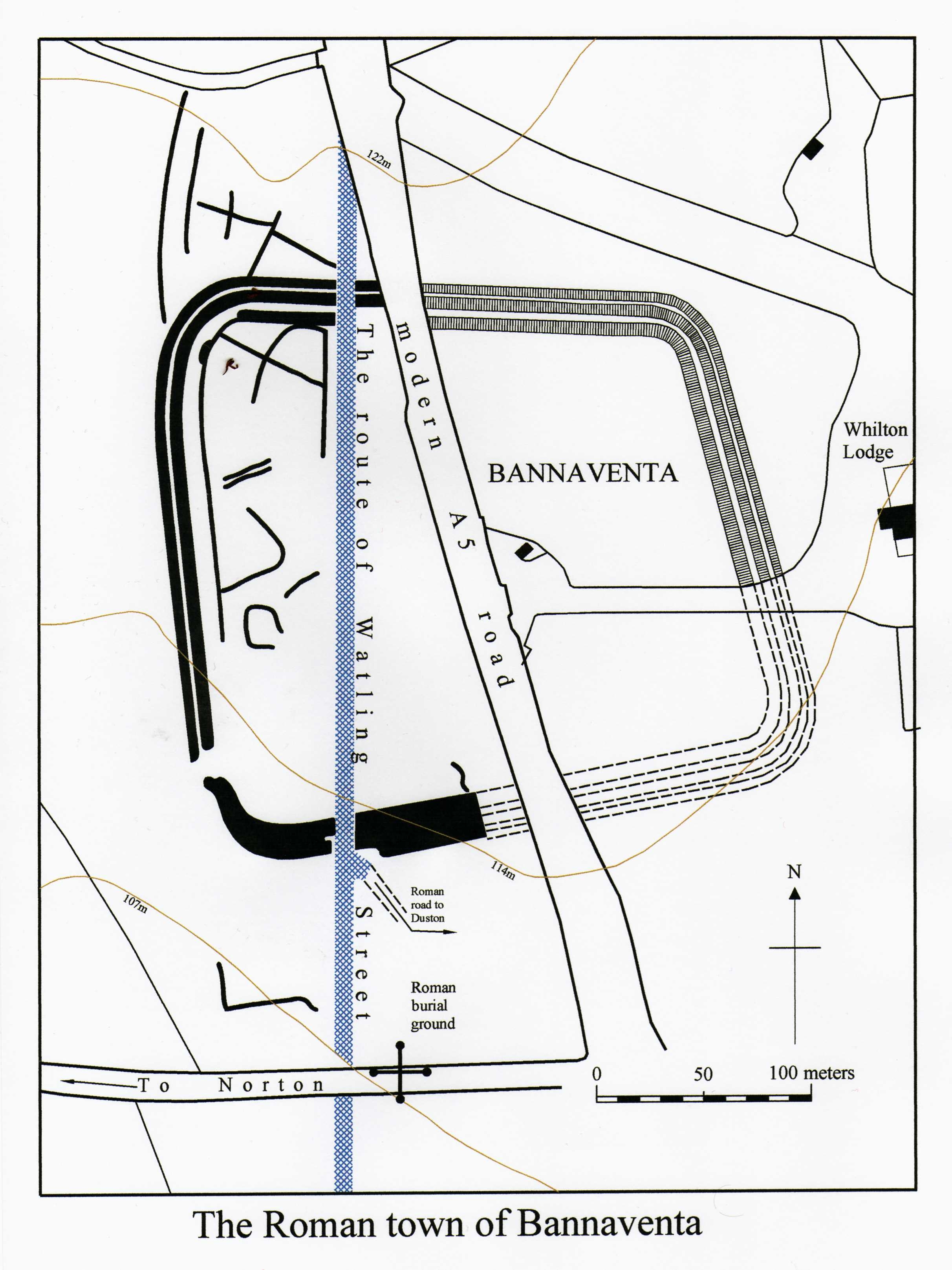
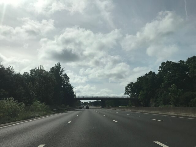
Bannaventa
Bannaventa or Benaventa was a Romano-British fortified town which was on the Roman road later called Watling Street, which today is here, as in most places...

Whilton Locks
Whilton Locks is the name of a flight of seven locks on the Grand Union Canal near Daventry, in the county of Northamptonshire, England. They are also...
Brington, Northamptonshire
Brington is a civil parish in West Northamptonshire in England. At the time of the 2001 census, the parish population was 482 people, increasing to 496...
Norton, Northamptonshire
Norton is a village in West Northamptonshire. The population including Brokhall and Norton at the 2011 census was 434. The village is about 2 miles (3...
Have you been to Violet Spinney?
Leave your review of Violet Spinney below (or comments, questions and feedback).