Gazewell Spinney
Wood, Forest in Northamptonshire
England
Gazewell Spinney

Gazewell Spinney is a small woodland located in Northamptonshire, England. Situated near the village of Wood, the spinney is part of the wider forested area in the region. Spanning an approximate area of 5 acres, Gazewell Spinney is characterized by a dense collection of trees and undergrowth.
The woodland is primarily composed of deciduous trees, including oak, ash, birch, and beech. These trees create a vibrant canopy that provides shade and shelter for various wildlife species. The forest floor is covered with a rich carpet of ferns, mosses, and wildflowers, adding to the area's natural beauty.
Gazewell Spinney is home to a diverse range of wildlife, including several bird species such as woodpeckers, song thrushes, and tits. Mammals such as foxes, rabbits, and squirrels are also commonly spotted in the area. The spinney serves as an important habitat for these creatures, providing a safe place for nesting, foraging, and resting.
The woodland is a popular destination for nature enthusiasts and local residents seeking tranquility and a connection with the natural environment. There are several walking paths that weave through the spinney, allowing visitors to explore its various corners and take in the scenic views. The peaceful ambiance and serene atmosphere of Gazewell Spinney make it an ideal spot for nature walks, picnics, and photography.
Overall, Gazewell Spinney in Northamptonshire offers a serene and picturesque woodland experience, providing a haven for wildlife and a place of natural beauty for visitors to enjoy.
If you have any feedback on the listing, please let us know in the comments section below.
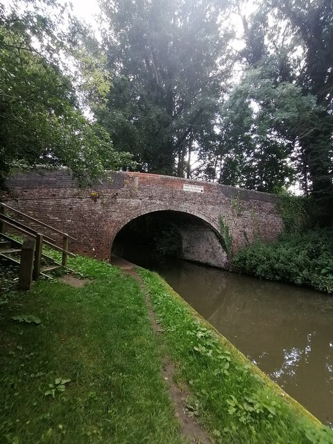
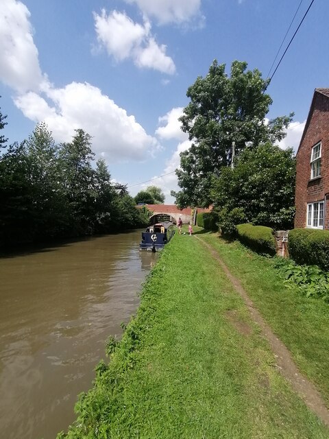
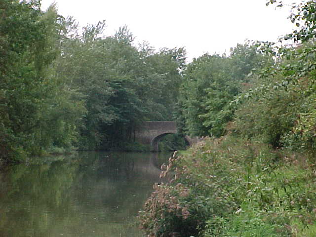
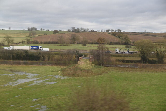
Gazewell Spinney Images
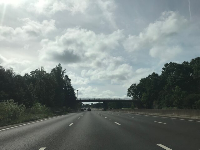
Images are sourced within 2km of 52.26293/-1.0745627 or Grid Reference SP6363. Thanks to Geograph Open Source API. All images are credited.


Gazewell Spinney is located at Grid Ref: SP6363 (Lat: 52.26293, Lng: -1.0745627)
Unitary Authority: West Northamptonshire
Police Authority: Northamptonshire
What 3 Words
///downcast.players.burn. Near Flore, Northamptonshire
Nearby Locations
Related Wikis

Brockhall, Northamptonshire
Brockhall is a civil parish and village in West Northamptonshire in England. Brockhall, like many estate villages, is a small settlement that has developed...

Muscott (lost settlement)
The lost village of Muscott is located within the parish of Norton in the English county of Northamptonshire. == Gallery == == References ==

Whilton
Whilton is a village and a civil parish in the English county of Northamptonshire. The population (including Slapton) at the 2011 Census was 271. The...

Muscott
Muscott is a hamlet in Norton civil parish in the south of the English county of Northamptonshire. == External links == grid reference SP625633
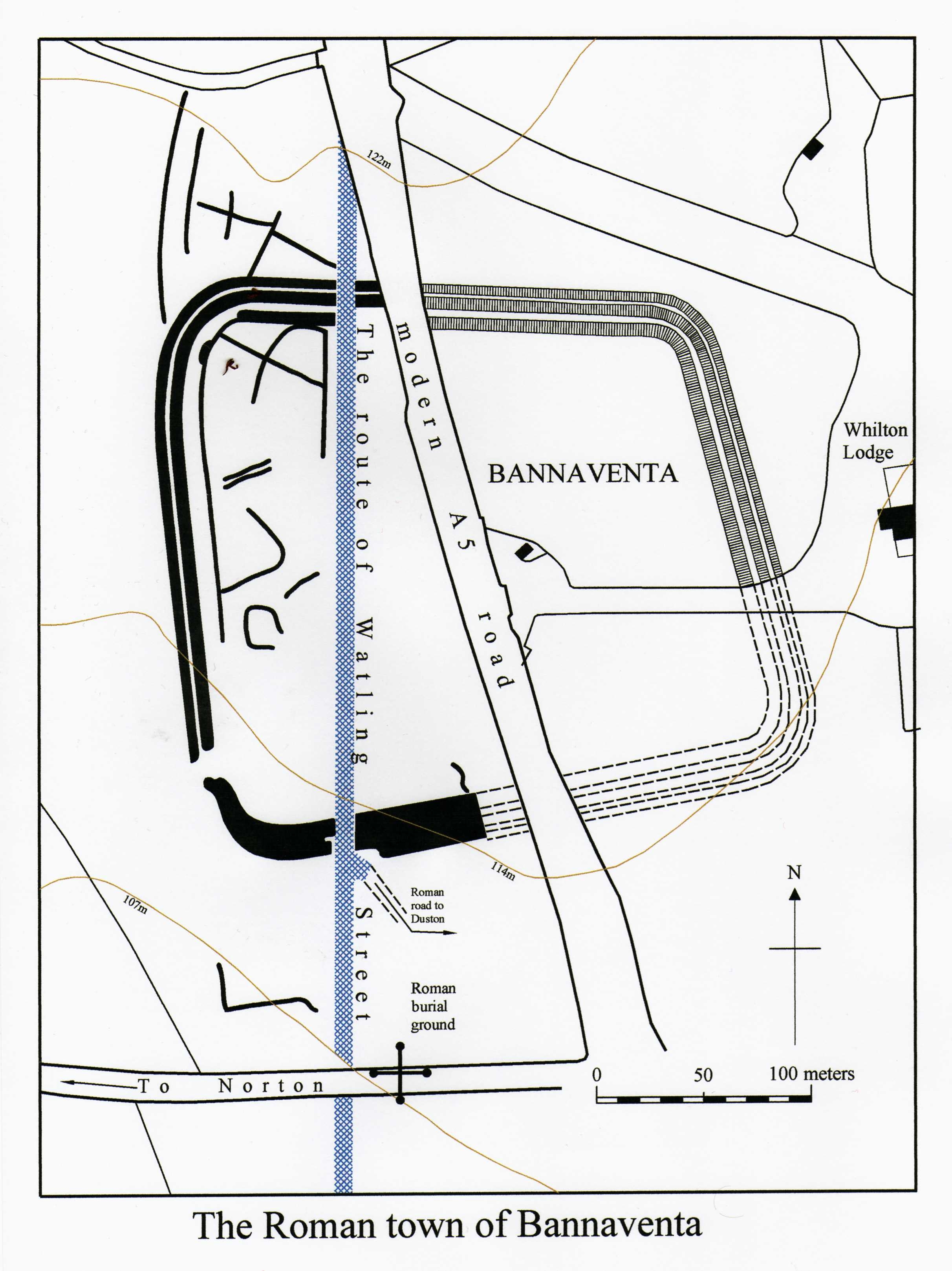
Bannaventa
Bannaventa or Benaventa was a Romano-British fortified town which was on the Roman road later called Watling Street, which today is here, as in most places...

Whilton Locks
Whilton Locks is the name of a flight of seven locks on the Grand Union Canal near Daventry, in the county of Northamptonshire, England. They are also...
Brington, Northamptonshire
Brington is a civil parish in West Northamptonshire in England. At the time of the 2001 census, the parish population was 482 people, increasing to 496...

Flore, Northamptonshire
Flore (historically spelled as Floore) is a village and civil parish in West Northamptonshire in England. The village's name means 'Floor', perhaps referring...
Nearby Amenities
Located within 500m of 52.26293,-1.0745627Have you been to Gazewell Spinney?
Leave your review of Gazewell Spinney below (or comments, questions and feedback).