Firhill Plantation
Wood, Forest in Oxfordshire South Oxfordshire
England
Firhill Plantation

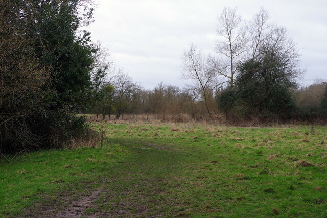
Firhill Plantation is a picturesque woodland located in Oxfordshire, England. Spanning across several acres, this well-preserved forest is a hidden gem for nature enthusiasts and those seeking tranquility away from the bustling city life.
The plantation is primarily composed of a variety of evergreen and deciduous trees, including oak, beech, and pine, which create a rich tapestry of colors throughout the seasons. The dense foliage provides a natural habitat for numerous species of birds, small mammals, and insects, making it a popular destination for birdwatchers and wildlife photographers.
Visitors can explore Firhill Plantation through a network of well-maintained walking trails that wind through the forest. These trails offer breathtaking views of the surrounding countryside and allow visitors to immerse themselves in the serene ambiance of the woodland. Along the way, one can discover a diverse range of flora, from vibrant wildflowers to rare ferns, adding to the plantation's ecological significance.
The plantation also boasts a small picnic area, where visitors can relax and enjoy a packed lunch amidst the tranquil surroundings. Additionally, there are designated areas for children to engage in educational activities, promoting a deeper understanding and appreciation for the natural world.
Firhill Plantation is open to the public throughout the year, with the changing seasons offering unique experiences with every visit. Whether it's a leisurely stroll, a family day out, or a chance to reconnect with nature, this woodland sanctuary in Oxfordshire provides a perfect retreat for all.
If you have any feedback on the listing, please let us know in the comments section below.
Firhill Plantation Images
Images are sourced within 2km of 51.494295/-1.0839121 or Grid Reference SU6377. Thanks to Geograph Open Source API. All images are credited.


Firhill Plantation is located at Grid Ref: SU6377 (Lat: 51.494295, Lng: -1.0839121)
Administrative County: Oxfordshire
District: South Oxfordshire
Police Authority: Thames Valley
What 3 Words
///stocked.shrimp.clustered. Near Pangbourne, Berkshire
Nearby Locations
Related Wikis
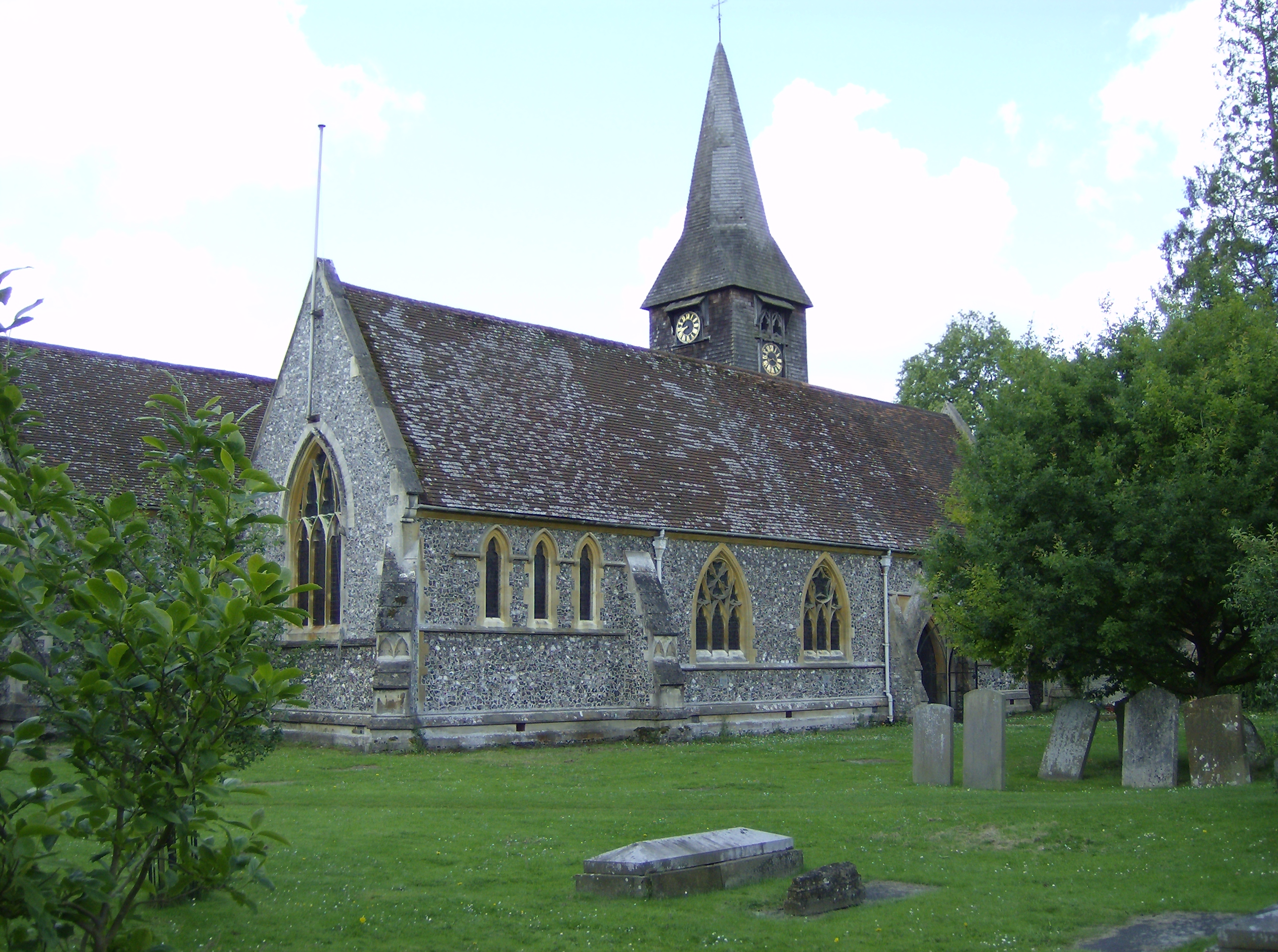
Whitchurch-on-Thames
Whitchurch-on-Thames is a village and civil parish on the Oxfordshire bank of the River Thames, about 5.5 miles (9 km) northwest of Reading, Berkshire...
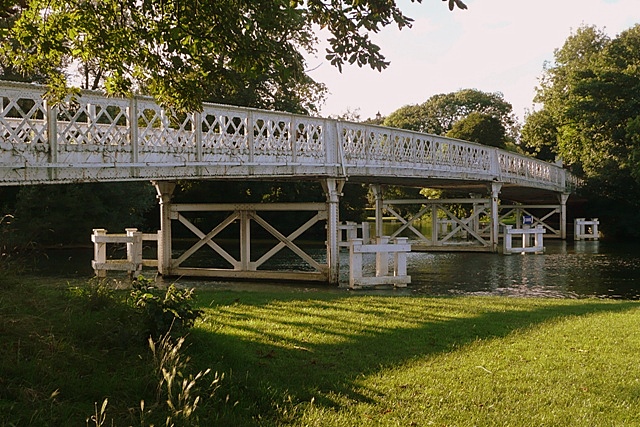
Whitchurch Bridge
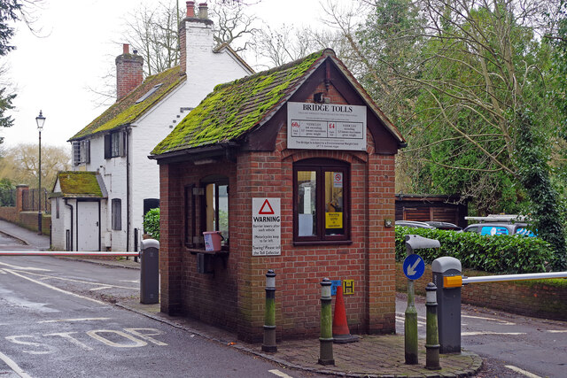
Whitchurch Bridge is a toll bridge that carries the B471 road over the River Thames in England. It links the villages of Pangbourne in Berkshire, and Whitchurch...
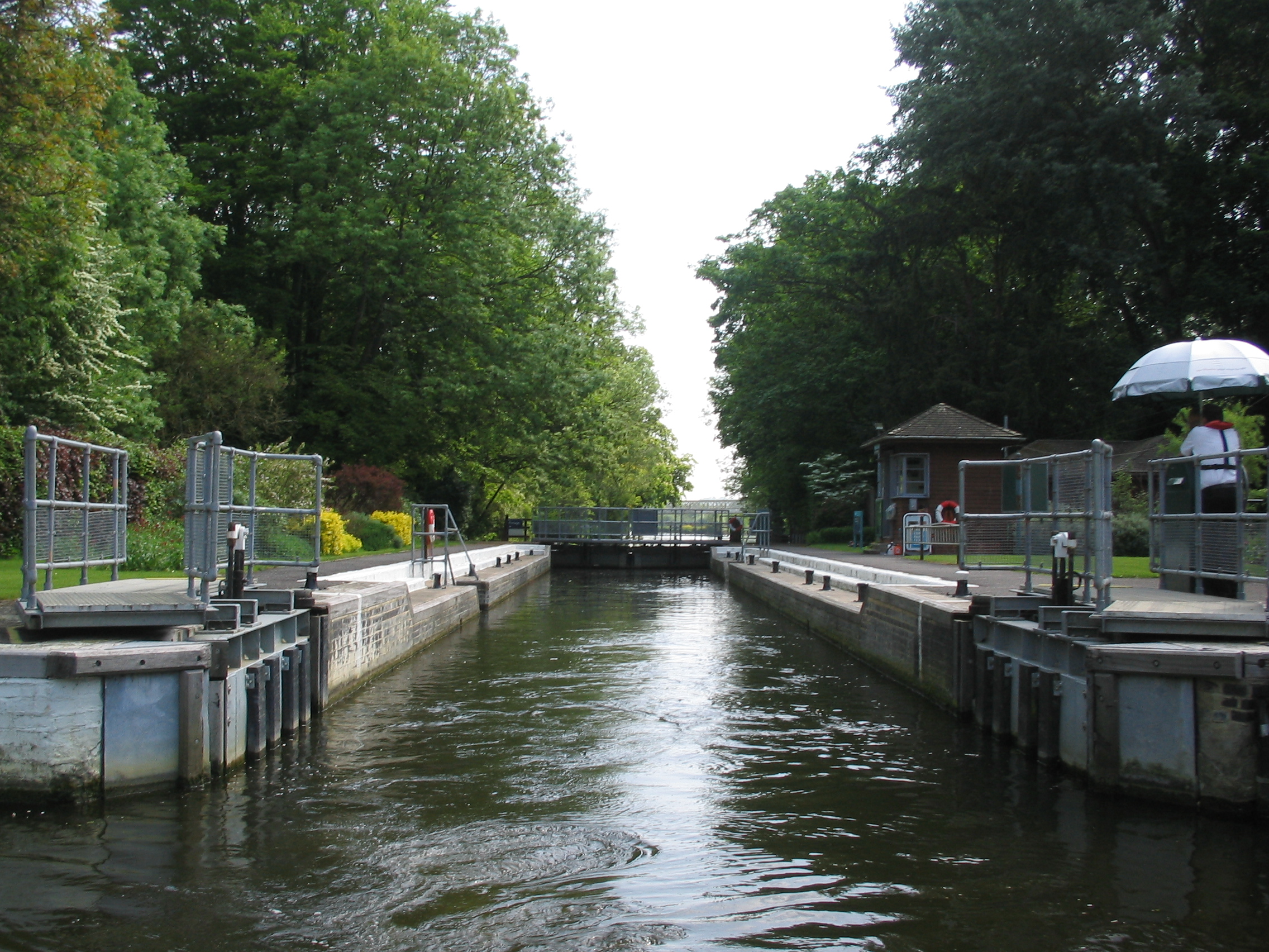
Whitchurch Lock
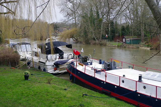
Whitchurch Lock is a lock and weir on the River Thames in England. It is a pound lock, built by the Thames Navigation Commissioners in 1787. It is on an...

River Pang
The River Pang is a small chalk stream river in the west of the English county of Berkshire, and a tributary of the River Thames. It runs for approximately...

Pangbourne College Boat Club
Pangbourne College Boat Club is a rowing club based on the River Thames at Pangbourne College Boathouse, Shooters Hill, Pangbourne, Berkshire. == History... ==

Pangbourne railway station
Pangbourne railway station serves the village of Pangbourne in the county of Berkshire, and across the River Thames the village of Whitchurch-on-Thames...

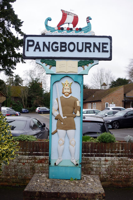
Pangbourne
Pangbourne is a village and civil parish on the River Thames in Berkshire, England. Pangbourne has its own shops, schools, a railway station on the Great...

Goring Rural District
Goring was a rural district in Oxfordshire, England from 1894 to 1932. It was formed from that part of the Bradfield rural sanitary district which was...
Nearby Amenities
Located within 500m of 51.494295,-1.0839121Have you been to Firhill Plantation?
Leave your review of Firhill Plantation below (or comments, questions and feedback).