Pottinger's Furze
Wood, Forest in Hampshire Basingstoke and Deane
England
Pottinger's Furze
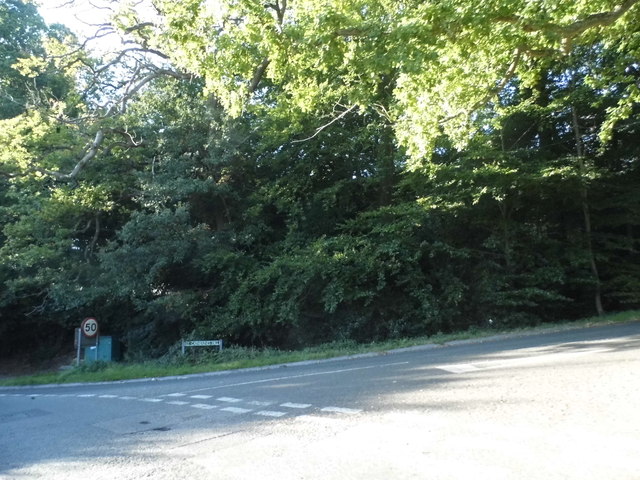
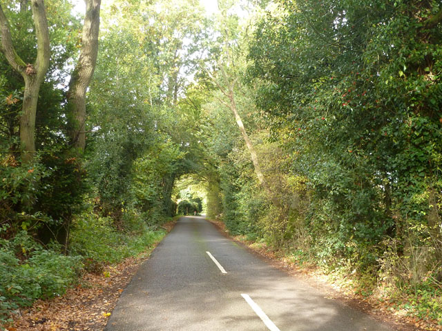
Pottinger's Furze is a small woodland area located in the county of Hampshire, England. Situated near the village of Wood, the forest covers an approximate area of 200 acres. The woodland is known for its natural beauty and diverse flora and fauna.
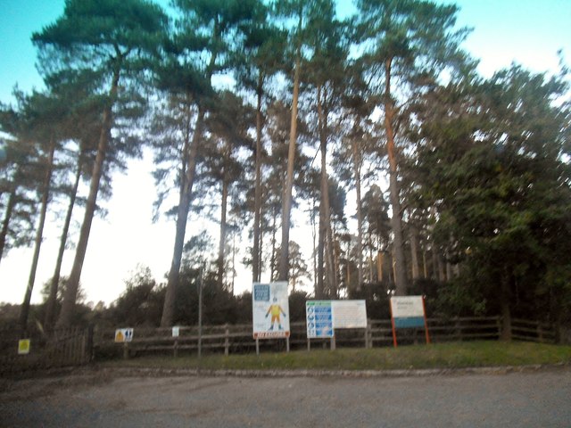
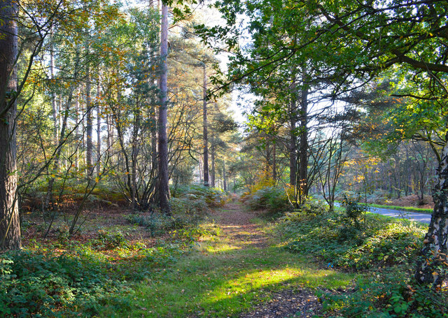
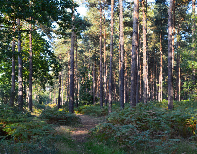
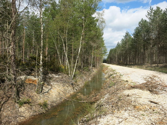
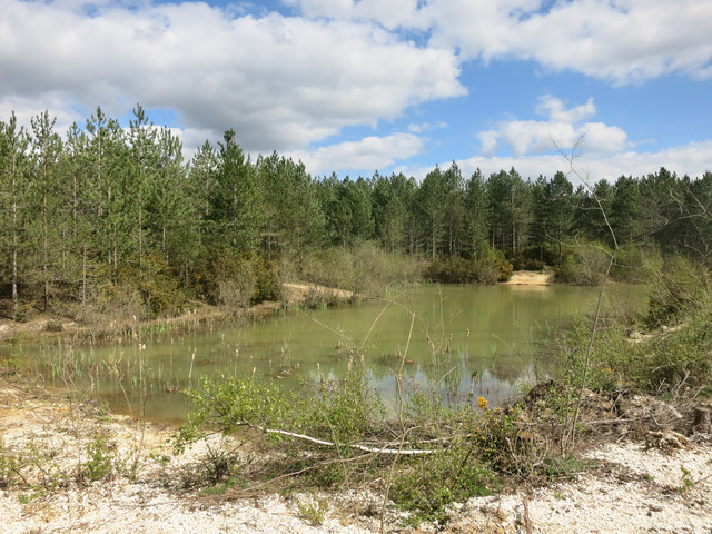
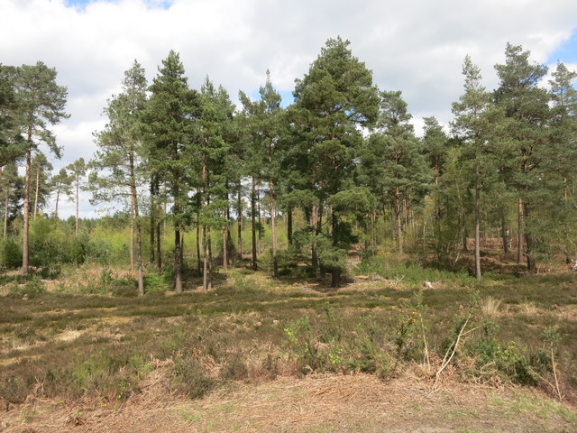
Pottinger's Furze is primarily composed of a mix of deciduous and coniferous trees, creating a rich and varied landscape. The ancient woodland is home to a variety of tree species, including oak, beech, birch, and pine. These trees provide a habitat for numerous bird species, such as woodpeckers, owls, and various songbirds. Additionally, the forest is inhabited by mammals like deer, foxes, and rabbits.
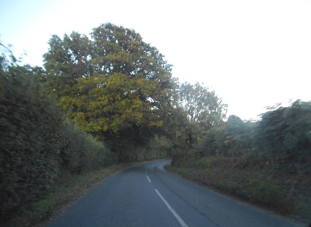
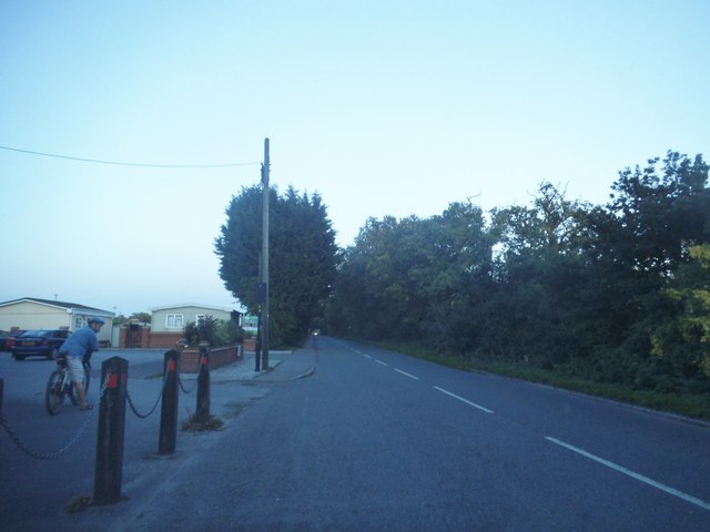
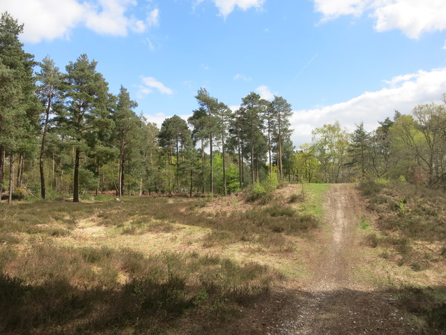
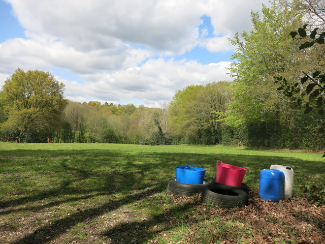
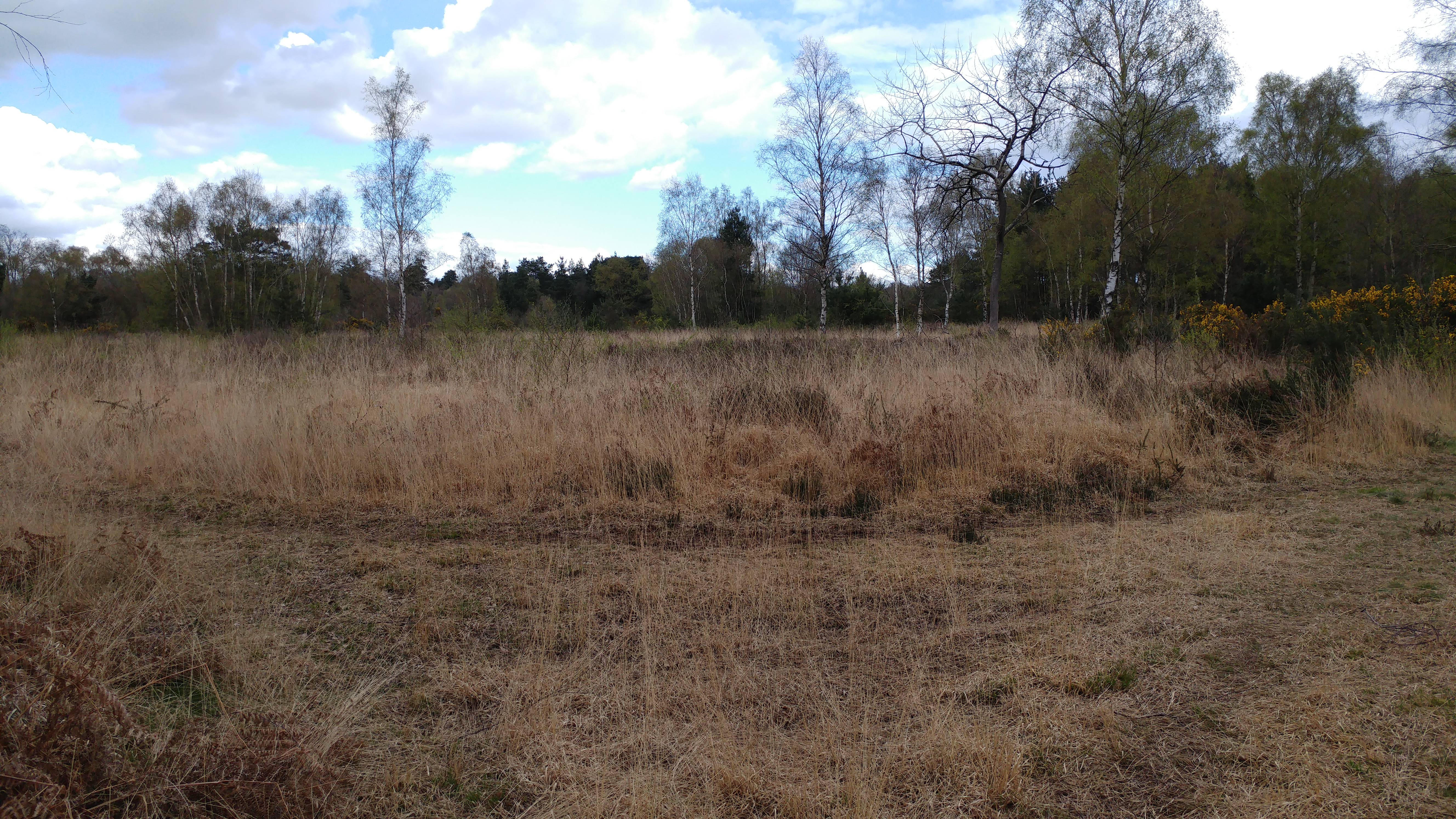
The woodland is crisscrossed by a network of walking trails, allowing visitors to explore and appreciate its natural wonders. These paths lead visitors through picturesque scenes of dappled sunlight filtering through the trees, creating a tranquil and serene atmosphere. The forest is particularly enchanting in the spring, when bluebells carpet the forest floor, creating a stunning display of vibrant colors.
Pottinger's Furze is also home to a variety of other plant life, including ferns, mosses, and wildflowers. These provide a rich and diverse ecosystem, supporting a wide range of insects, butterflies, and bees.
The woodland is managed by local authorities to preserve its natural beauty and protect the wildlife that calls it home. Conservation efforts aim to maintain the delicate balance of the ecosystem and ensure that future generations can continue to enjoy the splendor of Pottinger's Furze.
If you have any feedback on the listing, please let us know in the comments section below.
Pottinger's Furze Images
Images are sourced within 2km of 51.376242/-1.0862698 or Grid Reference SU6364. Thanks to Geograph Open Source API. All images are credited.
Pottinger's Furze is located at Grid Ref: SU6364 (Lat: 51.376242, Lng: -1.0862698)
Administrative County: Hampshire
District: Basingstoke and Deane
Police Authority: Hampshire
What 3 Words
///clings.elevator.lightbulb. Near Stratfield Mortimer, Berkshire
Nearby Locations
Related Wikis

Mortimer West End
Mortimer West End is a village and civil parish in north Hampshire in England. It lies in the northernmost point of the county. == History == At one time...

Mortimer Common
Mortimer Common, generally referred to as Mortimer, is a village in the civil parish of Stratfield Mortimer in Berkshire. Mortimer is in the local government...
Padworth Common
Padworth Common is a hamlet and common in the English county of Berkshire, within the civil parish of Padworth. It is bounded by Burghfield to the east...
Padworth Common Local Nature Reserve
Padworth Common Local Nature Reserve is a 28-hectare (69-acre) Local Nature Reserve on the edge of the hamlet of Padworth Common, between Reading and...

The Frith
The Frith is a small univallate Iron Age hillfort to the north of Silchester, Calleva Atrebatum, Roman town in the English county of Hampshire. A single...

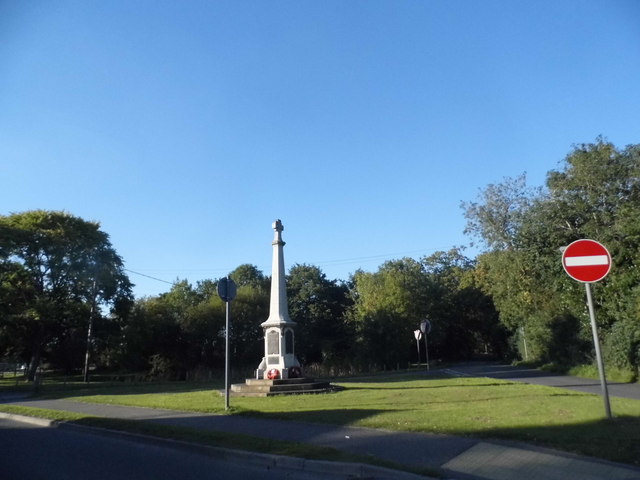
Mortimer War Memorial
The Mortimer War Memorial is a monument that commemorates the lives of soldiers from Stratfield Mortimer, Berkshire, England, who were killed in war....

Calleva Atrebatum
Calleva Atrebatum ("Calleva of the Atrebates") was an Iron Age oppidum, the capital of the Atrebates tribe. It then became a walled town in the Roman province...

Aldermaston Soke
Aldermaston Soke is a hamlet that lies on the county boundary between Berkshire and Hampshire, and is administratively part of the civil parish of Mortimer...
Nearby Amenities
Located within 500m of 51.376242,-1.0862698Have you been to Pottinger's Furze?
Leave your review of Pottinger's Furze below (or comments, questions and feedback).