Greatpiece Belt
Wood, Forest in Oxfordshire South Oxfordshire
England
Greatpiece Belt

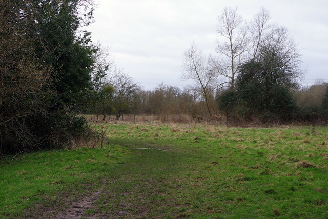
Greatpiece Belt is a picturesque woodland located in Oxfordshire, England. Nestled in the heart of the county, it is renowned for its natural beauty and enchanting atmosphere. Stretching over a vast area, the woodland is a haven for nature enthusiasts and those seeking tranquility away from the hustle and bustle of city life.
The forest is predominantly made up of tall, majestic oak trees, which create a dense canopy overhead, providing shade and shelter to the diverse range of flora and fauna that call Greatpiece Belt their home. The rich biodiversity within the woodland is evident through the abundance of wildflowers, ferns, and mosses that carpet the forest floor, adding to its ethereal charm.
Visitors to Greatpiece Belt can enjoy a leisurely stroll along the well-maintained trails, immersing themselves in the sights and sounds of nature. The peaceful ambiance is enhanced by the gentle rustling of leaves and the melodic chirping of birds, creating a truly serene experience.
In addition to its natural beauty, Greatpiece Belt also holds historical significance. The woodland is believed to have ancient origins, with remnants of ancient settlements and archaeological finds adding an air of mystery and intrigue. The area is a designated Site of Special Scientific Interest (SSSI), ensuring its preservation and protection for future generations to appreciate.
Whether it be for a leisurely hike, a peaceful picnic, or simply to connect with nature, Greatpiece Belt offers a serene escape in the heart of Oxfordshire. Its enchanting woodlands and rich biodiversity make it a must-visit destination for nature lovers and those seeking solace in the beauty of the great outdoors.
If you have any feedback on the listing, please let us know in the comments section below.
Greatpiece Belt Images
Images are sourced within 2km of 51.495956/-1.0893672 or Grid Reference SU6377. Thanks to Geograph Open Source API. All images are credited.


Greatpiece Belt is located at Grid Ref: SU6377 (Lat: 51.495956, Lng: -1.0893672)
Administrative County: Oxfordshire
District: South Oxfordshire
Police Authority: Thames Valley
What 3 Words
///overdone.blaring.quitter. Near Pangbourne, Berkshire
Nearby Locations
Related Wikis

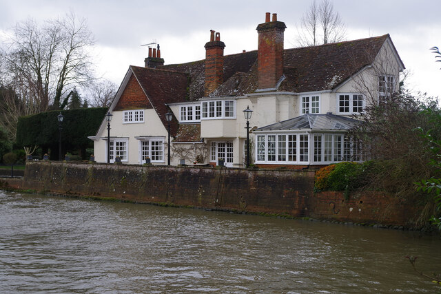
Whitchurch-on-Thames
Whitchurch-on-Thames is a village and civil parish on the Oxfordshire bank of the River Thames, about 5.5 miles (9 km) northwest of Reading, Berkshire...

Pangbourne College Boat Club
Pangbourne College Boat Club is a rowing club based on the River Thames at Pangbourne College Boathouse, Shooters Hill, Pangbourne, Berkshire. == History... ==
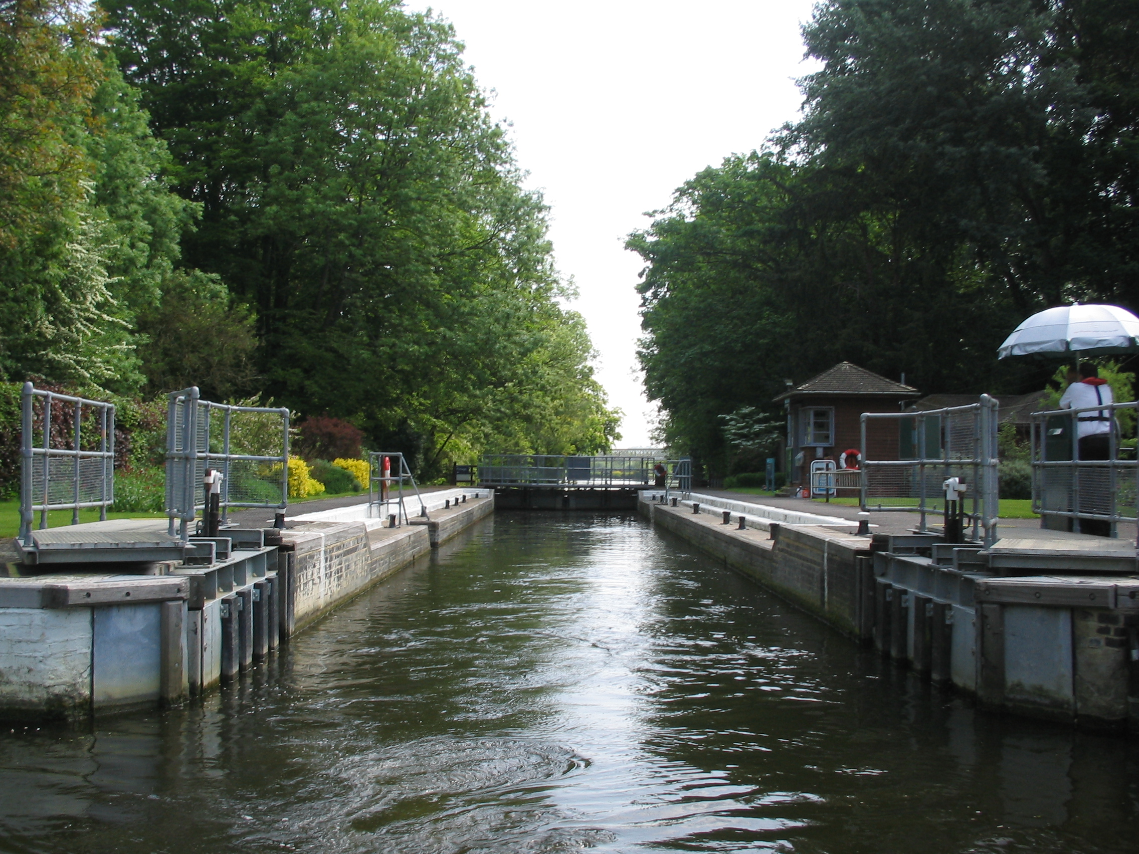
Whitchurch Lock
Whitchurch Lock is a lock and weir on the River Thames in England. It is a pound lock, built by the Thames Navigation Commissioners in 1787. It is on an...
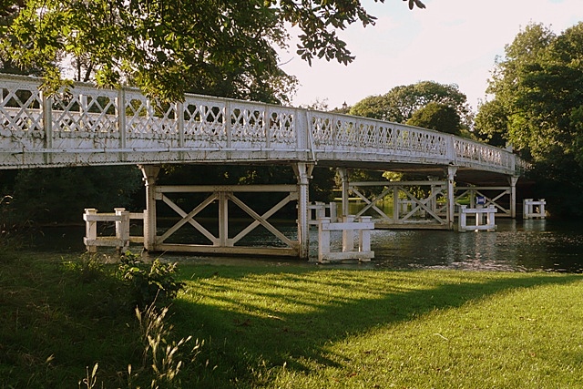
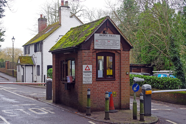
Whitchurch Bridge
Whitchurch Bridge is a toll bridge that carries the B471 road over the River Thames in England. It links the villages of Pangbourne in Berkshire, and Whitchurch...

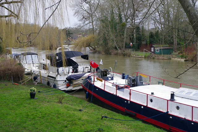
River Pang
The River Pang is a small chalk stream river in the west of the English county of Berkshire, and a tributary of the River Thames. It runs for approximately...

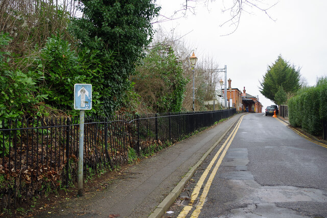
Pangbourne railway station
Pangbourne railway station serves the village of Pangbourne in the county of Berkshire, and across the River Thames the village of Whitchurch-on-Thames...

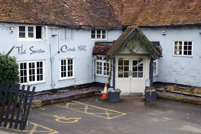
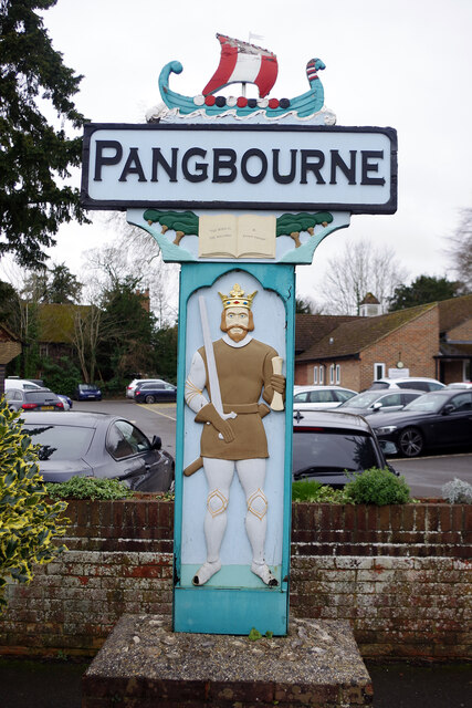
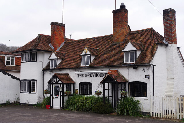
Pangbourne
Pangbourne is a village and civil parish on the River Thames in Berkshire, England. Pangbourne has its own shops, schools, a railway station on the Great...

Beale Wildlife Park
Beale Wildlife Park is situated by the River Thames, between the villages of Pangbourne and Lower Basildon in Berkshire, England. It has three main areas...
Nearby Amenities
Located within 500m of 51.495956,-1.0893672Have you been to Greatpiece Belt?
Leave your review of Greatpiece Belt below (or comments, questions and feedback).